Steamboat

November 15th- Steamboat Creek,SC

We stayed at anchor today. We woke to heavy rain which lasted much of the day.

A few years ago I bought a Portable Buddy propane heater from Tractor Supply. It’s small and runs off 1lb cylinders. We only used it once on a late season trip out to Cuttyhunk. I debated weather or not to bring it. It takes up some space and space is at a premium on Catalpa. I dug it out of the forepeak this morning. Good thing I packed that thing on this boat. I would be very unpopular had I not. It works great. In a short period of time it gets the boat reasonably warm and helps to dry the foul weather gear.

All of the boats from last night left early this morning. I believe they are all sailing in a group. We ran into one of these groups earlier in the trip (maybe this was the same one). I believe it was called Sail to the Sun. We’re also sailing to the Sun but I feel I need to pick my own path.

November 16th- Still at Steamboat

More storms rolling through the area. I read they had 2 1/2″ of rain over in Savannah this morning. Flooding in Charleston. Steamboat Creek is a balmy 45 degrees with about 99 percent humidity and an unknown quantity of rain. We are mostly just holed up in Catalpa. I run Olliver over to the dock a few times a day when I hear the rain let up. He is also frustrated with the weather situation.

We had another boat join us late in the day yesterday. They are still in harbor today. The sun is supposed to reappear tomorrow! Maybe we’ll be able to move on.

View off the back porch. The dock and our neighbors.

Posted in Uncategorized

Weather Issues

November 11th- Georgetown, SC to Awendaw Creek, SC

Another cold morning. We need to keep moving south.

We continued on down Winyah Bay and turned into a canal. This part of the trip went through a series of canals and rivers. Some of it passed through forest but most of our passage went through marshland. Grasslands that stretch on for miles. It also becomes extremely shallow. 2 to 3 feet shallow. There are a lot of different currents to deal with. The tide around here is 5 or 6 feet so a lot of water is moving in and out of the waterways.

One of the shallower areas is near McClellanville. The idea here is that you don’t want to pass through at low tide. In my own defense, I planned on getting there after low tide. We made really good time to McClellanville. We got there at exactly low tide. There was also a full moon that evening. This tends to make the tides more extreme. It was shallow. They had two dredges working to keep the channel open. We had to pass very close to one in order to find enough depth to pass. We had one reading of 5′ 6″ (our draft is 4 feet). The catamaran that was following us did not get as close to the dredge as us. They went aground in 2 feet of water. We radioed back where the deeper water was but could do nothing else to help.

Rather than push much further through the mud, we decided to anchor near by, in Awendaw Creek. It’s more of a bay than creek and is bordered by marsh grass. We located a small sandy beach for Ollie. Eventually one other boat pulled in. We had a great sunset, full moon, glassy seas, and a nice sunrise to cap it off. On Ollie’s morning commando run, we were followed by dolphins. We see dolphins and pelicans almost every day now.

Pictures from Awendaw

Sunset

Full moon over our neighbors

November 12th- Awendaw Creek, SC to Charleston, SC

We left Awendaw at high tide and experienced no more shallows for the day. There is an area around Isle of Palms that had shoaling issues but it was just recently dredged.

Houses along the way.

I knew we had some weather issues coming. Before reaching Charleston harbor we had to go through the Ben Sawyer swing bridge. You can see the weather rolling in.

Ben Sawyer bridge

Charleston Harbor is large. By the time we entered it the wind was starting to blow. We had to negotiate a few shipping channels before heading up the Ashley river to our anchorage. The current was against us on the river as was the wind. Then the sky opened up and it began to pour.

That night the temperature dropped down to 30 degrees. We tried to keep the inside of Catalpa warm with our hurricane lanterns. A new experience for us was condensation. All of our bronze ports started to sweat. It was like being in a cold rain forest. It was a difficult night. Catalpa got down to around 40 degrees by morning. We were warm in our sleeping bags. The problem was getting out of them.

November 13- Charleston, SC

The weather stayed cold but the sun came out. This much improved morale. We went into Charleston for the day. We really only just scraped the surface of the city. There is a lot to do. Museums, restaurants, clubs, art galleries, and the carrier Yorktown. We ran a few errands and had lunch at JohnKing Bar and Grill. They definitely had one of the best burgers I’ve had in a long time. The beer was good too. Morale was further improved.

Scenes from Charleston

Lynne and Ollie with a big old live oak.

November 14th- Charleston, SC to Steamboat Creek, SC

I’ve had some time today to think about climate control. As a species, we’ve gotten very good at it. 100 years ago it was much more difficult. 1000 years ago it was probably almost non existent. Many people in other countries live with little or no climate control. In the US we have plenty of electricity and oil to go around to keep us warm, dry, or cool. Boat life is a little different.

We’ve been really lucky with the weather until the other day.

Charleston Harbor is very open. With more bad weather coming we decided to move on towards Beaufort. We’re chasing the sun.

The first problem of the day (beside the cold) was the Wappoo Creek bridge. We got up early so we could get to it by 8am. It doesn’t open until 9:30. They usually open every hour or on demand. We anchored near the bridge to wait it out. About 20 other boats showed up for the opening. We had a big parade of boats.

We continued on down the Stono River for a few hours. The sky opened up with a downpour. The temperature dropped. Visibility dropped. I started thinking about climate control.

We made it to Steamboat Creek. It’s one of those places that the anchorage is usually empty but there are about a dozen boats, waiting out the weather. It’s supposed to be stormy for a couple of days. We might just stay here to wait it out also. There is a dock nearby so I can get Ollie to shore.

Brothers Reunited

November 10th- Georgetown, SC

We planned an 8:00 meeting for the two boys at a near by park. Olliver has not really had much dog to dog play time in a while. We weren’t sure what to expect. Maybe they would just ignore each other. Border Collies are funny like that. We got to the field and I could see Ralphy with his family off in the distance. Not knowing what to do, I decided to let Ollie off leash. Charge! Let the festivities begin! They had a great time. I believe they knew they were brothers. By the end of a few hours at play they were just rolling around on the floor like puppies. Oliver enjoys playing with other dogs but I never see him just rolling around. We both pulled out frisbees. Both dogs lazered in on their respective disks. Later, they both horsed around for a while again. Ralphy tried to teach Oliver how to play soccer but he has a way to go on that sport. Later in the day we met up for more fun at a beach.

A fun day was had by all. It was a dog day. Ollie was very tired by the end of the day.

Some other sights from Georgetown.

This is an ASDIC sonar device. It was used to detect German Uboats during WW2.

Catalpa anchored in Georgetown.

Georgetown is a beautiful town filled with live oaks. Unfortunately I photographed not one. Our hosts were very kind. The dogs had great fun. We look forward to visiting in the spring.

Cape Fear to Georgetown

November 7th- Carolina Beach, NC to Calabash Creek, SC

Before leaving Carolina Beach we stopped in the North End coffee shop. Luckily it opens at 6am. Hot coffee and egg sandwiches for breakfast. Ollie got in a little more “fun time” before we headed out.

There is nothing to fear but fear itself. FDR

I picked a good morning for the Cape Fear river. What little wind we had was behind us. The strong current pushed us along at 7 knots. By noon the current was going to reverse and a southwest wind was supposed to start up but we were long gone by then.

We were soon off the river and back in the ditch (ICW). We passed by Southport which is a popular stop. Maybe we’ll get to it on the return trip.

Lots of restaurants on the water.

We pushed on down the North Carolina waters.

Oliver has been spending most of his days on deck. Sometimes he stares off into the distance for hours. I wonder what he’s thinking about? He has gotten very comfortable with boat life.

By evening we crossed into South Carolina. There was no Welcome sign for a photo op. Our anchorage was in Calabash Creek. A somewhat ominous sight was 3 half sunken vessels near us. One wreck was a sailboat that looked fairly recent.

Ollie had a new experience. We approached what I thought was a beach. It was actually a giant pile of oyster shells. We scrambled up the loose pile. He tolerated the stop but definitely was not happy about the shells. He did his business and jumped right back in the dinghy.

No pictures from this stop. We had a big storm in the evening. Wind wasn’t bad but the sky opened up with a ton of rain.

November 8th- Calabash Creek, SC to The Waccamaw River, SC

Today we had several draw bridges to traverse. We also went through the Rock Pile. It is an area of the ICW where the engineers ran into rock ledge. They blasted a narrow passage through it. If you stray from the channel it’s all rock. We didn’t hit any rocks today.

A sign to make boaters even more uncomfortable in the Rock Pile.

The first half of the day really seemed like we were in a ditch. The banks are tall with big houses at the top. As we went further down the scenery became more rural.

A lighthouse on the ICW? It was actually Lighthouse marina.

This was some restaurant/ amusement center. Is this where every missing ICW buoy is located?

The second half of the day had us on the Waccamaw River. This became much more rural until it became a large swamp. I never was able to figure out the name of the swamp.

Spanish moss. Cedar and cypress trees. Alligator country for sure.

November 9th- Waccamaw River, SC to Georgetown, SC

We did not have to wrestle any alligators. The town of Enterprise Landing was a short dinghy ride from our anchorage. Olliver made it to shore without having to negotiate swamp territory.

Two odd things happened at night.

I kept hearing distant roaring sounds. Lion roaring sounds. I figured it was my over active imagination. Maybe a metal dock surging in the water somewhere. The next day I went on Google maps to see what is around the area. Waccatee Zoo was not far. It’s good to know I’m not hearing things.

The other odd thing was we kept having a helicopter buzz over the boat repeatedly. It was flying very close to the river. The next morning we turned on the VHF radio. A kayaker never made it to his destination. The helicopter was searching the area. I don’t know if he was ever found as the alert was repeated several times throughout the day.

Ok, three odd things. The temperature dropped to 35 degrees. It was 80 a day or two ago.

We continued down the Waccamaw River. There was a breeze blowing so I got to do some swamp forest sailing. At every bend I had to tack over the head sail. Eventually I rolled up the jib so Ollie could relax in his spot.

The Wackamaw is pretty deep down to Georgetown but this was surprising.

River School bus.

We picked up a favorable current and made good time down to Georgetown. The Waccamaw hooks up with the Great Pee Dee River and both empty out into Winyah Bay. We then had to turn up the Sampit River into Georgetown.We filled up with diesel. Had marina showers. We went into town for fresh shrimp at the Independent Seafood Market. Then, the fourth odd thing happened today.

We were walking up a dock into town. The woman walking down the dock wanted to meet Oliver. She has a Border Collie. She used to live in Massachusetts. Her dog is from Cape Cod. Her dog is from Abfab Collies. His birthday is the same as Ollie’s. Her boy is Olliver’s brother. What are the chances of that happening?We were going to move on in the morning BUT, it’s Sunday Funday. We’re going to meet up tomorrow morning so Ollie can see his brother. Pictures will follow.

Wrightsville to Carolina Beach

November 5th- Wrightsville Beach, NC

The idea was that we were going to explore today. There is a West Marine near by, so I was going to try to find some kind of local tide and current book.

The morning started off sunny. We were running low on water so that was the priority. The municipal dock doesn’t have a hookup for a hose so I had to use some “Robin Hood” skills. Public access to fresh water should be a law. We also have the same problem in Dartmouth.

Black clouds rolled in and the rest of the day was stormy. We managed to get over to Robert’s grocery for a few more things but we were mostly stuck on Catalpa. For a while we had a trimaran dragging down on us. Eventually it’s anchor held so there was no further drama.

A break in the clouds.

November 6th- Wrightsville Beach to Carolina Beach, NC

Our next part of the trip includes a passage down the Cape Fear river. The Cape Fear is a tidal estuary so the current runs both ways. I was told I needed to be careful about getting Catalpa through there. The current can run up to 3 knots. Big waves develop. The river has the word “Fear” as part of its name. Carolina Beach is only a short distance from Wrightsville but it makes a better jumping off point for the Cape Fear river.

On another note. Wrightsville has a lot of small power boats. The locals drive them at max speed. They fly through the anchorage. They bounce around other fishermen. The boats get smashed into docks (from wakes). While we were there one of these skillful pilots smashed into someone’s dinghy while attempting to dock. I’m not sure how the kayaks stay upright. I’ve been told that you can add about 500 jet skis to the mix in the summer. Most places we’ve been to seem to have a little more nautical courtesy.

Carolina Beach has a no wake rule in the harbor. For some reason I thought we were going to be in a state park but it is a developed town. Beautiful beaches. Lots of restaurants but we won’t be sampling any tonight.

Fresh seafood on the dock. Grilled Mahi-mahi for dinner.

Quality time with Ollie. Rough seas today.

Local scenery.

Catalpa moored in Carolina Beach.

We’re most likely moving on tomorrow morning. We’ve got to catch the Cape Fear river current early. We’ll be back in the spring. It’s a good provisioning stop. Seems like a nice place to vacation in general.

Beaufort to Wrightsville Beach

November 2nd- Beaufort, NC to Swansboro, NC

It seems like the cold weather is catching up. Break out the sweaters and shoes again but that also means less mosquitoes. We’re really noticing the shortness of the days now. No more 50 mile days. With only 11 hours of daylight it’s difficult to put in a 10 hour day and get Ollie to shore (and exercised) during daylight.

The trip from Beaufort to Swansboro was a mixture of sand swept islands and houses on stilts. I’m reading a science fiction novel called New York 2140. Downtown Manhattan is under water but the buildings are still in use, connected by bridges and boats. I think about that as I’m piloting Catalpa down the ditch. The whole East coast is turning into an intertidal zone.

We got to Swansboro pretty early so we took a stroll around town. Being Saturday, it was busy. There were many fishermen trolling the harbor. I was later told they were fishing for Spots. Many of the little boats were going into town for lunch. We found a small park for a little Ollie – frisbee action.

November 3rd- Swansboro, NC to Sloop Point

This post was almost titled “The Day I Ran Catalpa Aground in Stump Bay.”We left Swansboro around sunrise. This is our usual routine on travel days. We had a favorable current in the morning and it ran against us in the afternoon. The way the water flows in and out of all the outlets of the ICW make this also part of the routine.

More wrecks.Maybe they need more lighthouses with crazy names.

Around half the day was spent passing through Camp Lejeune. It is a large base for the USMC. Sometimes they shut down the ICW for live fire exercises. Luckily, today it was open. They were doing military stuff. We frequently saw helicopters and amphibious vehicles. They have an anchorage that boaters can use but land access is restricted and they frequently practice in the basin. We heard explosions on land so we skipped that one.

I could picture the Sergeant yelling,” Private! This is the most crooked APC I’ve ever seen!”

Anti Air

That’s no duck!

What happened at Stump Bay? We negotiated a few difficult areas during the day. This is due to strong currents and shoaling. The shoaling problem is not that bad for us since our boat has a relatively shallow draft. When we get to these spots I PAY ATTENTION. Stump Bay is fairly straightforward to navigate through so I wasn’t PAYING ATTENTION. The autopilot (named Ray) only steers Catalpa in a straight line. By the time I glanced at the depth sounder it was reading 3.5 feet. We draw 4 feet. The reading on the depth sounder is not completely accurate but it’s close enough. I quickly threw the helm over and executed a 90 degree turn. We slowed down a little but plowed back into deeper water. Lynne was inside, sewing, so there were no witnesses to my negligent seamanship.

I had read that our next destination had shoaling issues. I toyed with the idea of skipping it due to my earlier mishap but what fun would that be? I payed attention to the chart. It wasn’t actually very difficult to negotiate. The spot is called Sloop Point. It’s in Topsail Sound. Very Nautical. I brought Ollie in to shore at a little beach and walked up the road. At the top of the road is the Welcome to Surf City sign. Surf City basically looks like what you would expect. Sun, sand, tan people.

Oliver loves the beach.

This is the best name the developer could come up with?

Catalpa at Sloop Point.

November 4th- Sloop Point anchorage to Wrigthtsville Beach, NC

Today was an easy day. Not too many miles. We had two draw bridges that only open at specific times. Somehow we hit both bridges at the right time. There is a small grocery store (Roberts) near the Wrightsville dinghy dock. We have fresh food, beer, and wine. More exploration tomorrow. I believe there is a fish market near by.

Beaufort

November 1st- Beaufort, NC

Beaufort is a great town but the anchorage is difficult. We had some squalls roll through last night. Our main anchor is two sizes larger than what the manufacturer calls for. Typically this is called a storm anchor. We also carry a bunch of chain and rope to go along with it. We have another anchor, chain, and rope, stored somewhere in the nether regions of Catalpa. Last winter I installed a windlass on the bow to crank all this gear in. We anchor a lot and are confident in our system. The problem is the current in Taylor Creek.

Different boats have different profiles above and below the water. When there is no current everyone points into the wind and all the boats are neatly pointed into the same direction. With current involved everything goes askew. Some boats point into the current, some into the wind, some just move around. Other boats also let out differing amounts of anchor rode (scope). If there is a lot of scope out, they swing in bigger circles. Add some wind, rain, and lightning into the mix. Not much sleep for the captain and crew of Catalpa. We didn’t drag our anchor but with all the boats blowing in different directions, I felt the need to keep an eye on the situation.

Back to the Turner Street Market and Deli for breakfast. I’d go next door for a porter but coffee seems a better idea.

Belhaven to Beaufort

October 28th- Belhaven, NC to Jordan Creek, NC

We located a gas station (this morning) that fills propane tanks. We have two small aluminum tanks that we alternate between. I bought the second tank before we left Dartmouth and am glad I did. We generally go through a tank a month. We emptied one tank and were 2 weeks into the second one. It’s hard to find propane filling stations within walking distance, so this was a big event. Belhaven is a good place to restock. All prices were much less than up north.

After grabbing more ice (it’s pretty hot here), we disembarked for a short sail over to Jordan Creek (home of the River Rat Yacht Club). The charted depths are 3 feet or less (we draw 4 feet) but I was assured by another cruiser that we could get Catalpa up the creek. It has easy access to get Ollie to shore and is well protected. We found the depth to be around 6 feet.

October 29th- Jordan Creek, NC to Burton Creek, NC

We continued on down the Pungo River. The Intracoastal Waterway is a bunch of interconnected bodies of water. Bays, rivers, creeks, and canals. The charts have a magenta line that represents the path. Most boats are headed south, following the magenta line.

Today’s list.

  • Pungo River
  • Pamlico River
  • Goose Creek
  • Upper Spring Creek
  • Canal ?
  • Bay River
  • Neuse River
  • Broad Creek
  • Burton Creek

The Canal before Bay River has R.E Mayo seafood at the end of it. It’s a big pier that shrimp boats tie up to. They rent space to transient boats also. We tied up to the pier for some fresh seafood. We bought some shrimp, scallops, and crab cakes (flash frozen) for our next few dinners. Grilled scallops over pasta tonight.

Our eventual goal was Oriental but we started getting some dark clouds on the horizon. There are many places to drop the hook around the Neuse River. Broad Creek is a popular spot. A little further up is Burton Creek. The depths are not charted but I had read you can expect 6 feet in the middle. Up yet another small canal is the (now closed) Paradise Cove Marina. There is a boat ramp. A good place to get Ollie to shore. We encountered some local dogs on our walk. Everything stayed friendly.

Many houses are elevated on stilts.

October 30th- Burton Creek to Beaufort, NC

We had a nice breeze in the morning and were able to sail down the rest of the Neuse river. We passed Oriental. Maybe we’ll stop there on the return trip.

Shrimp boat with a flotilla of birds.

We were fighting a tidal current for most of the rest of the day. Adams Creek and the canal that follows it is mostly forested on one side with houses on the other.

Houses

We also saw several wrecks along the way.

The approach I took to Beaufort was a bit confusing. To make matters more interesting our speed more than doubled due to a now favorable current. Luckily, I had layed out a course before getting into the thick of it. We quickly passed a number of boat yards, piers, derelict boats, and yachts.

We Anchored in Taylor Creek. There were a lot of boats in the anchorage but we managed to find a spot for Catalpa. There is also a lot of current. The boats all swing in different directions as the tidal current reverses itself.

On one side of the creek is Carrot Island. It is a wildlife refuge. There are wild horses on it. We haven’t seen the horses yet but hope to soon. Ollie likes the island’s beach. We’ve seen a ton of dolphins in here. I’ve seen a few on the coast of NJ and near Norfolk. Lynne hadn’t seen any yet (on this trip). We saw around a dozen in the evening. We had some swim around the boat late at night. Oliver’s low growl alerted us.

On the other side of the anchorage is Beaufort (pronounced Bo-fort, not to be confused with Beaufort SC). We went into town and explored a little. We wound up at a brewery and had a good porter. More exploration tomorrow.

A note about this log.

When I started this I didn’t intend for it to be a daily log of each place. I’ve grown to enjoy the process of keeping track of the trip. Occasionally, I’ll upload a post using phone data (which we pay for). Last month we ran out of data so I’m trying to conserve. The other option is free WiFi which we find at cafes and some marinas. Some of this log is written in present tense and some past tense (an editor’s nightmare). This is because I try to keep up with it each day (present) but tend to fall behind when we are moving each day (then it turns past tense). I then upload multiple days when we get to a place with good WiFi.

October 31st- Beaufort, NC. Halloween in Black Beard’s backyard.

A few boats left this morning so we repositioned Catalpa away from other boats. Today we’re going to explore. The market has a laundromat. Fish Towne Brewery is around the corner. There is Turners Deli next door for a Reuben sandwich (and WiFi). There is also the well stocked Beaufort Pet Provisions. Oliver plans on a trick or treat stop. Rain was forcasted but the day is sunny and warm. HAPPY HOLLOWEEN.

Wooden boat shop. I love this kind of stuff.

More of Beaufort.

The schooner is from Fairhaven. I don’t think I’ve ever seen it (I’d remember).

Posted in Uncategorized

Into the wilds

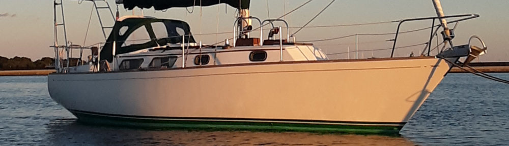
October 23rd- Dismal Swamp Welcome Center to Elizabeth City, NC

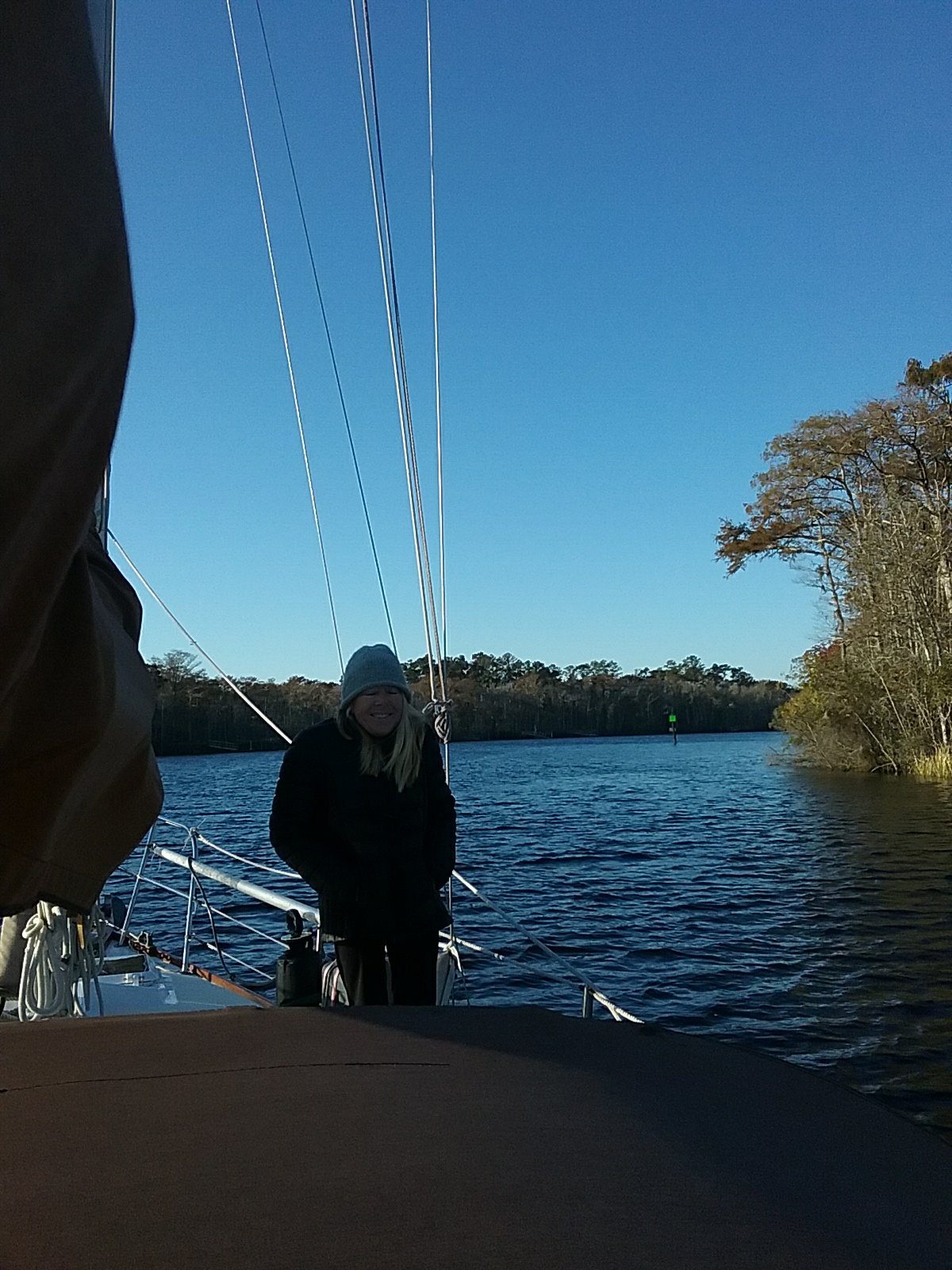
We had found a spot on the Dismal Swamp pier but it quickly filled up. Before dark I saw another boat coming down the canal. There is no other place to go so I put out a fender and waved. We had a laugh when the boat approached. Another Cape Dory 28, Wayfinder. The same type of boat as ours. Homeport: Menemsha, MA. Menemsha is on Martha’s Vineyard, which is near our home port. We talked boats and equipment. The Captain of the other boat is a rigger with a lot of sailing experience.

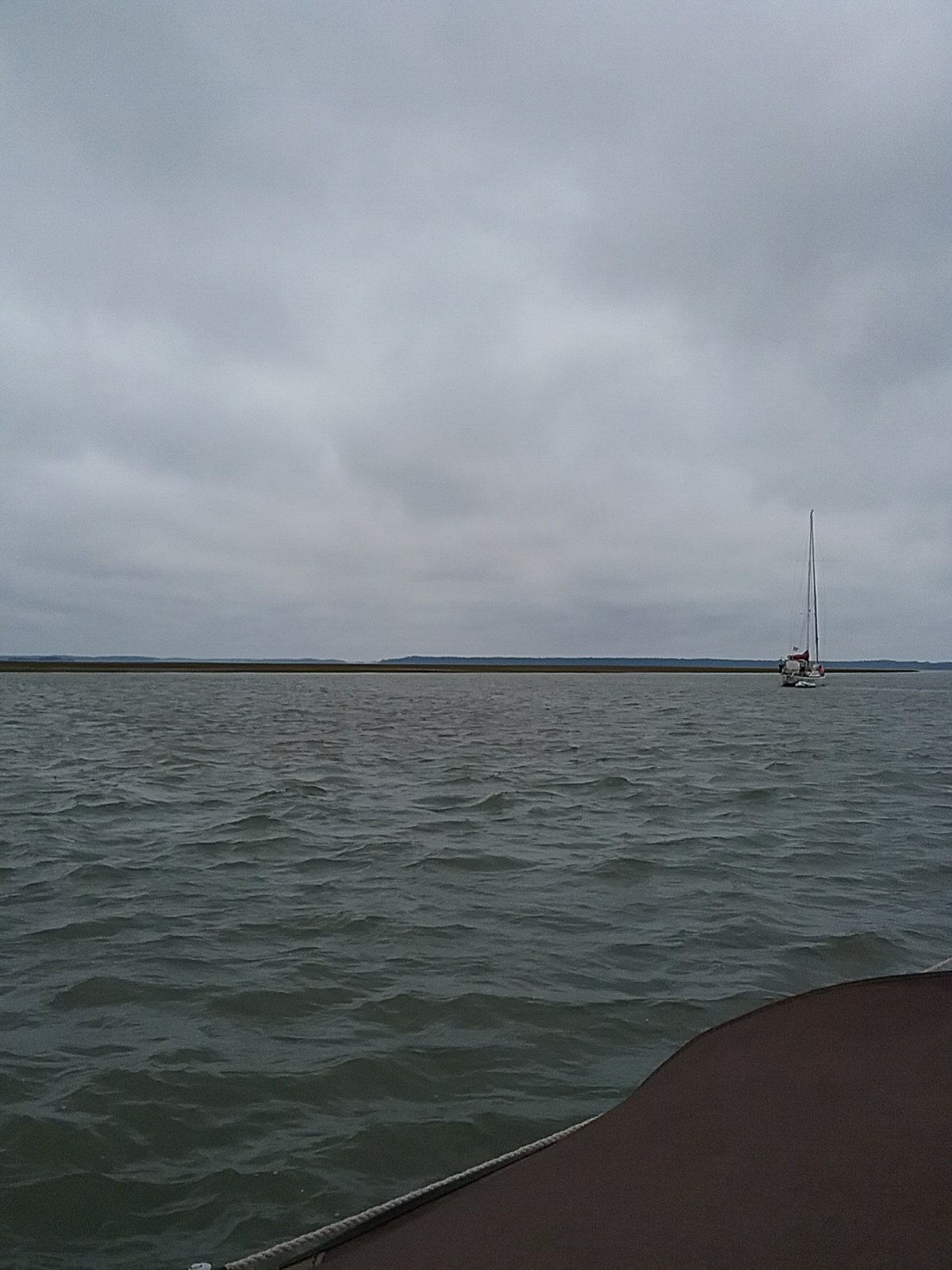
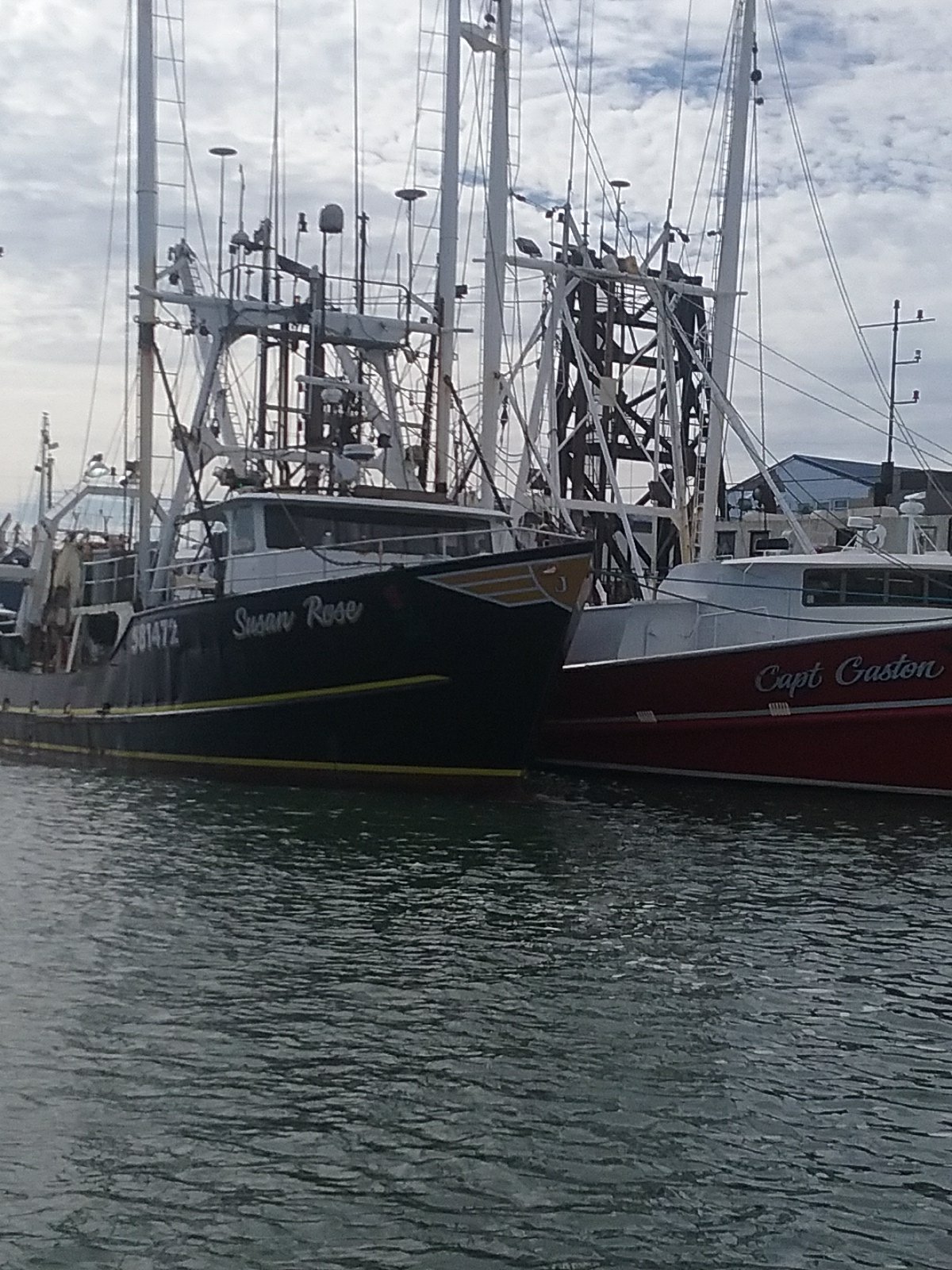
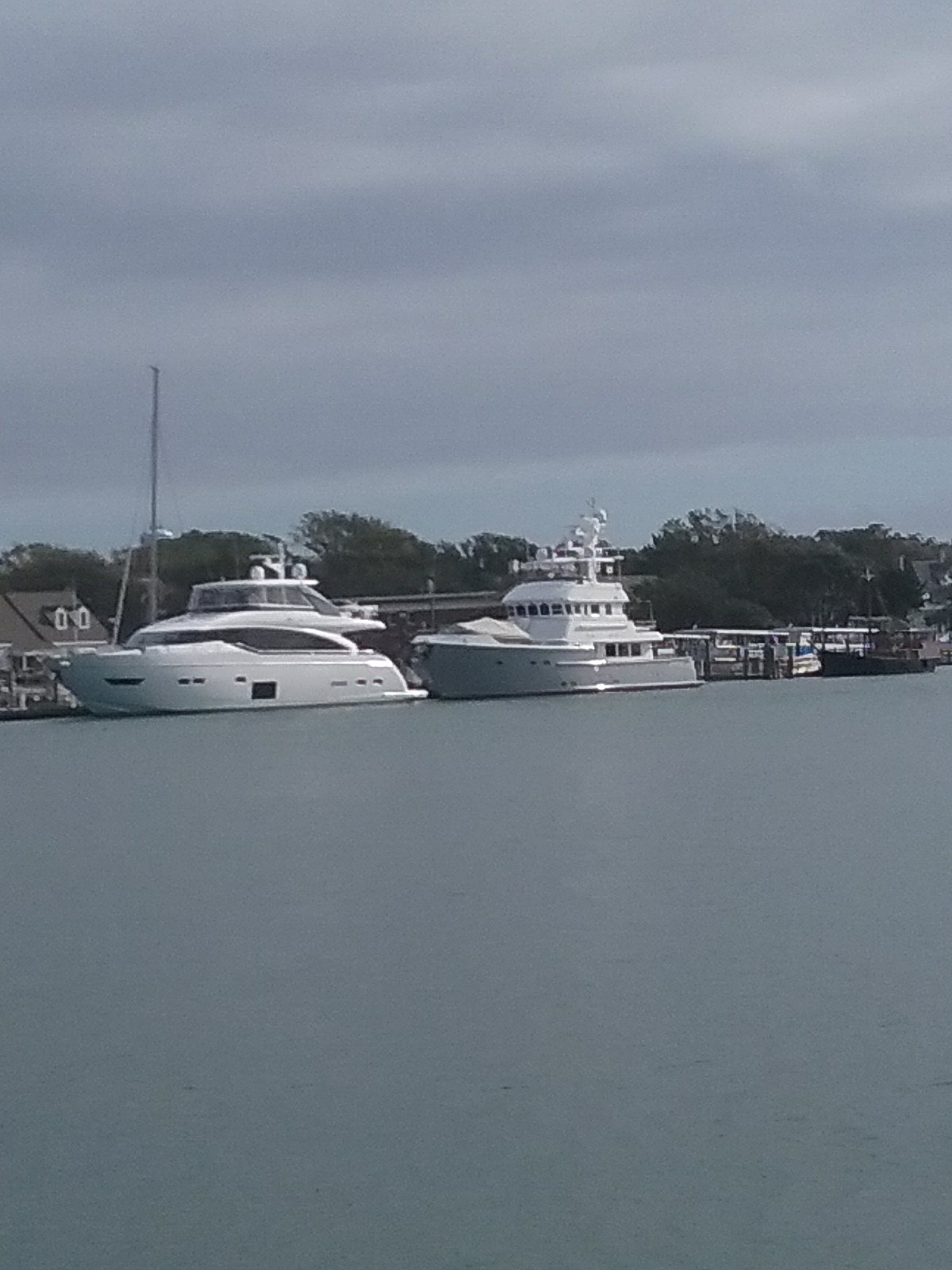
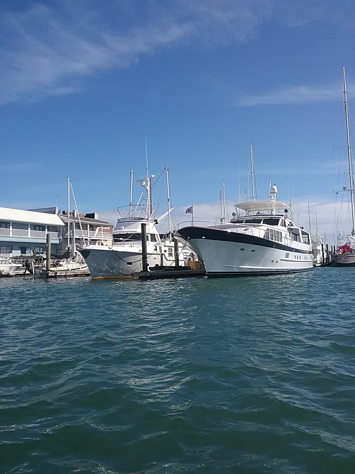
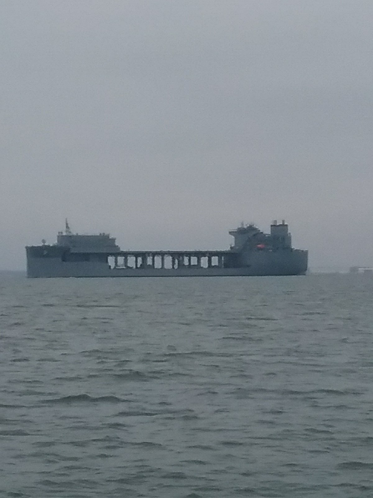
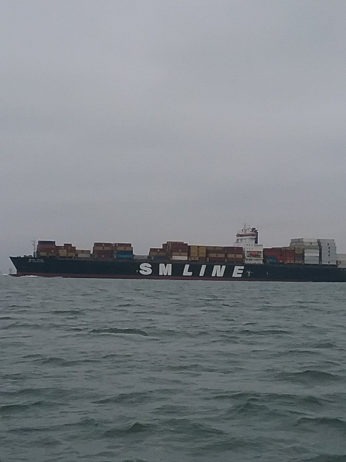
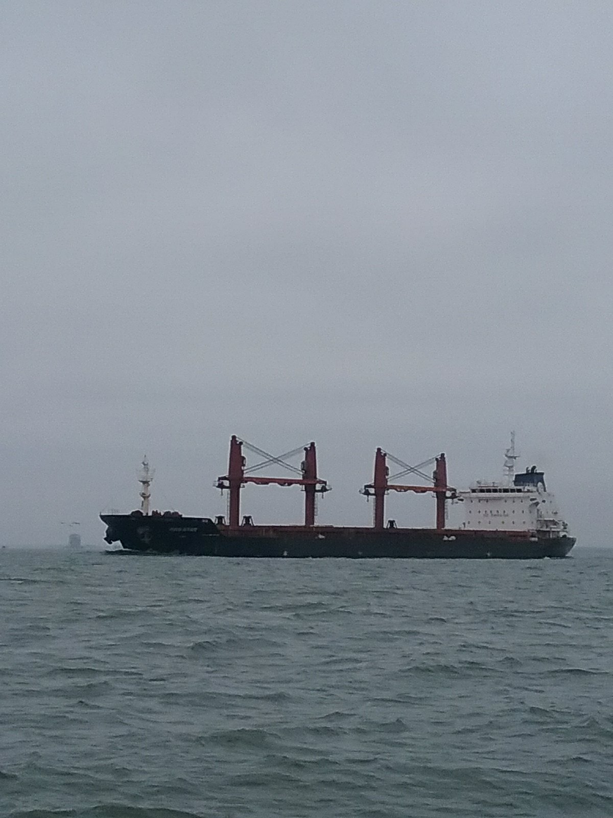
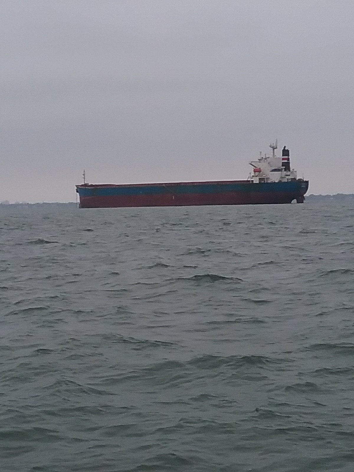
So far, on this entire trip, we have not run into one boat (heading south) that is of a size comparable to ours. They all seem much bigger and faster. The night before at Elizabeth’s Dock we met a couple on a Bristol 29, Pagu Club. The next morning, Pagu Club showed up and we had a small flotilla of little old boats going down the canal.

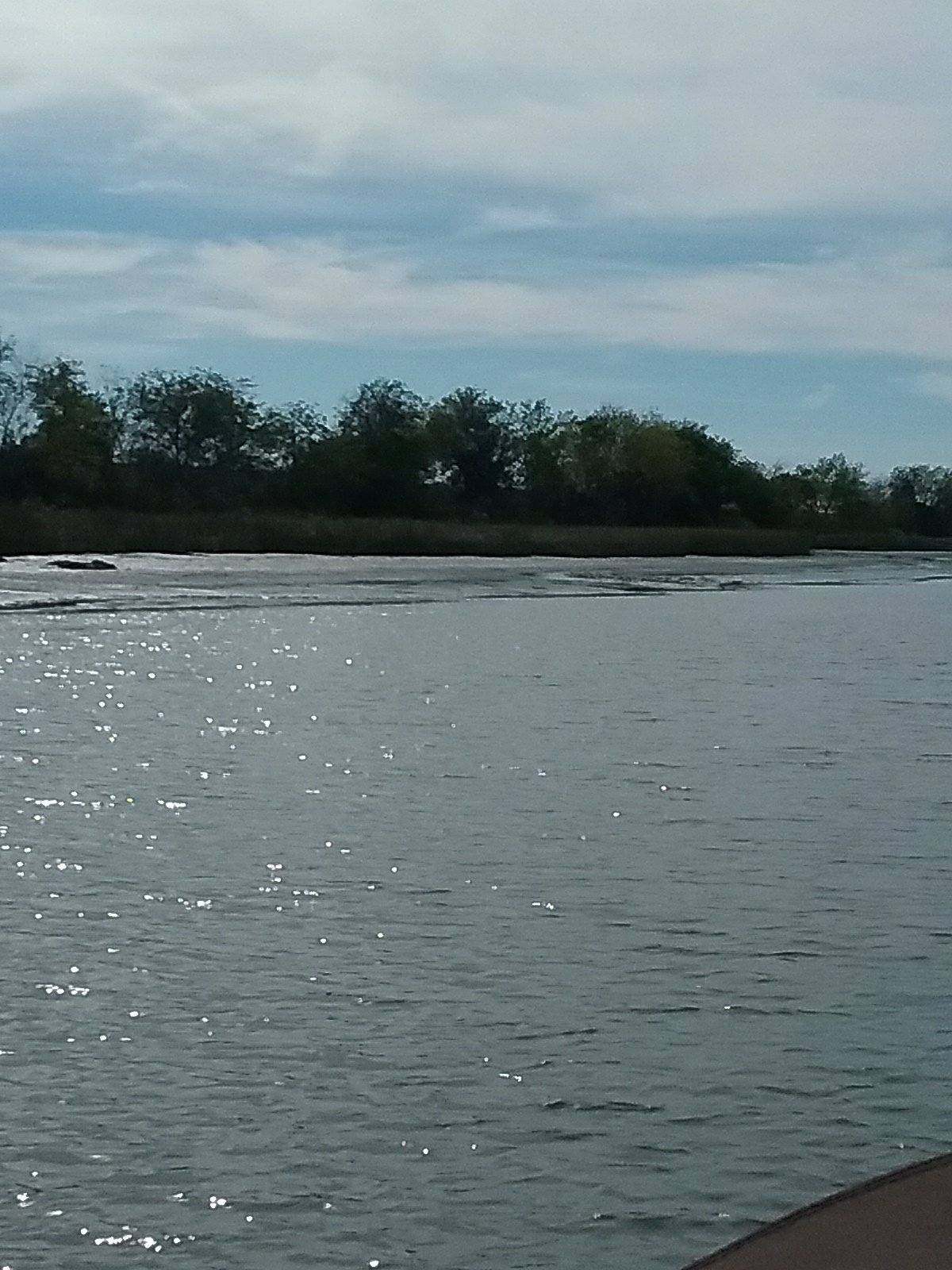
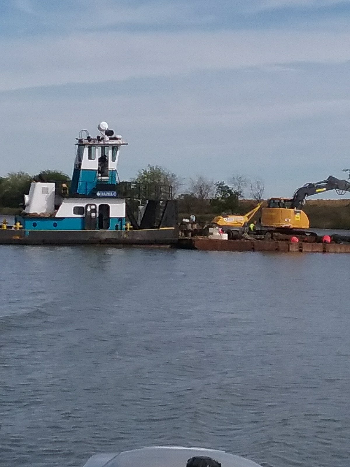
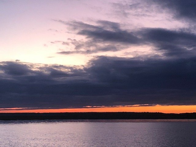
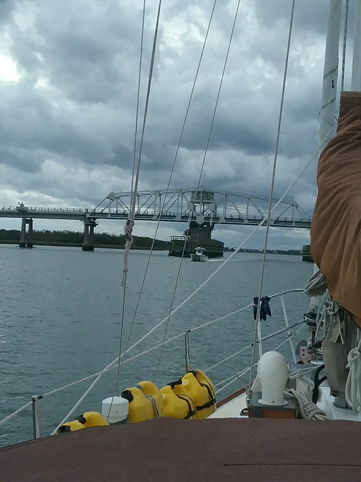
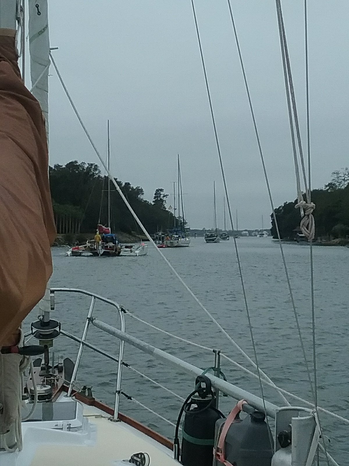
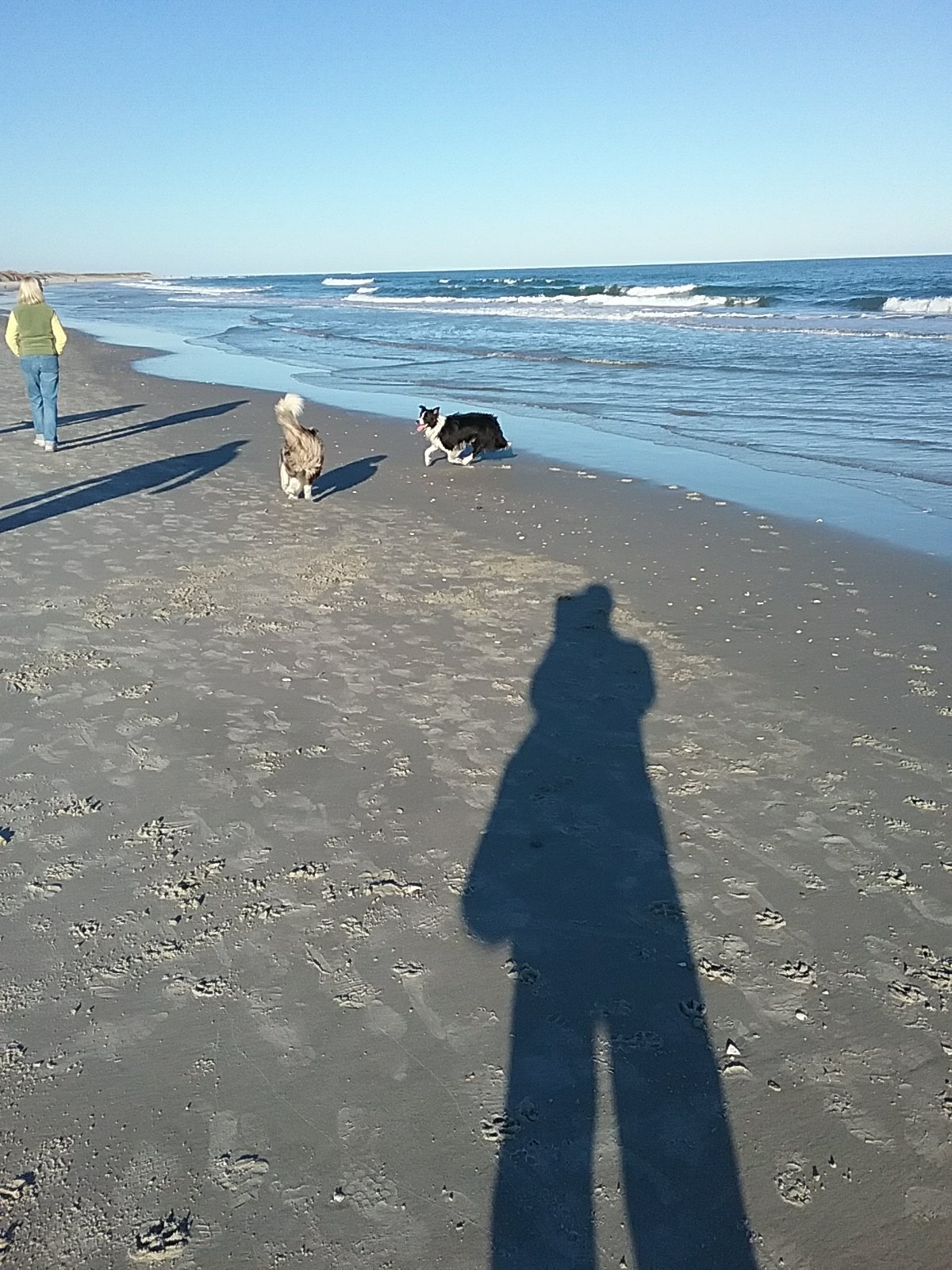
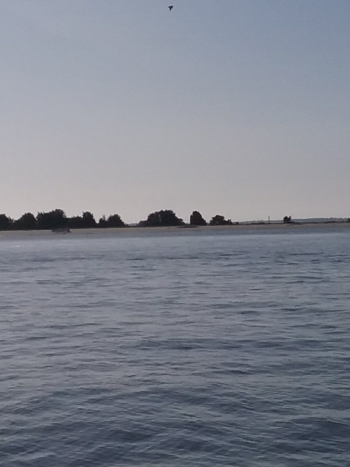
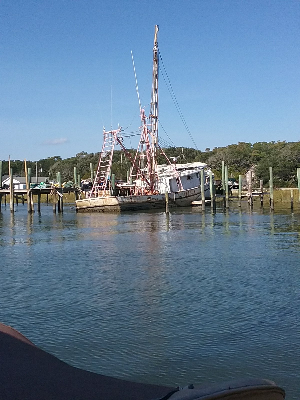
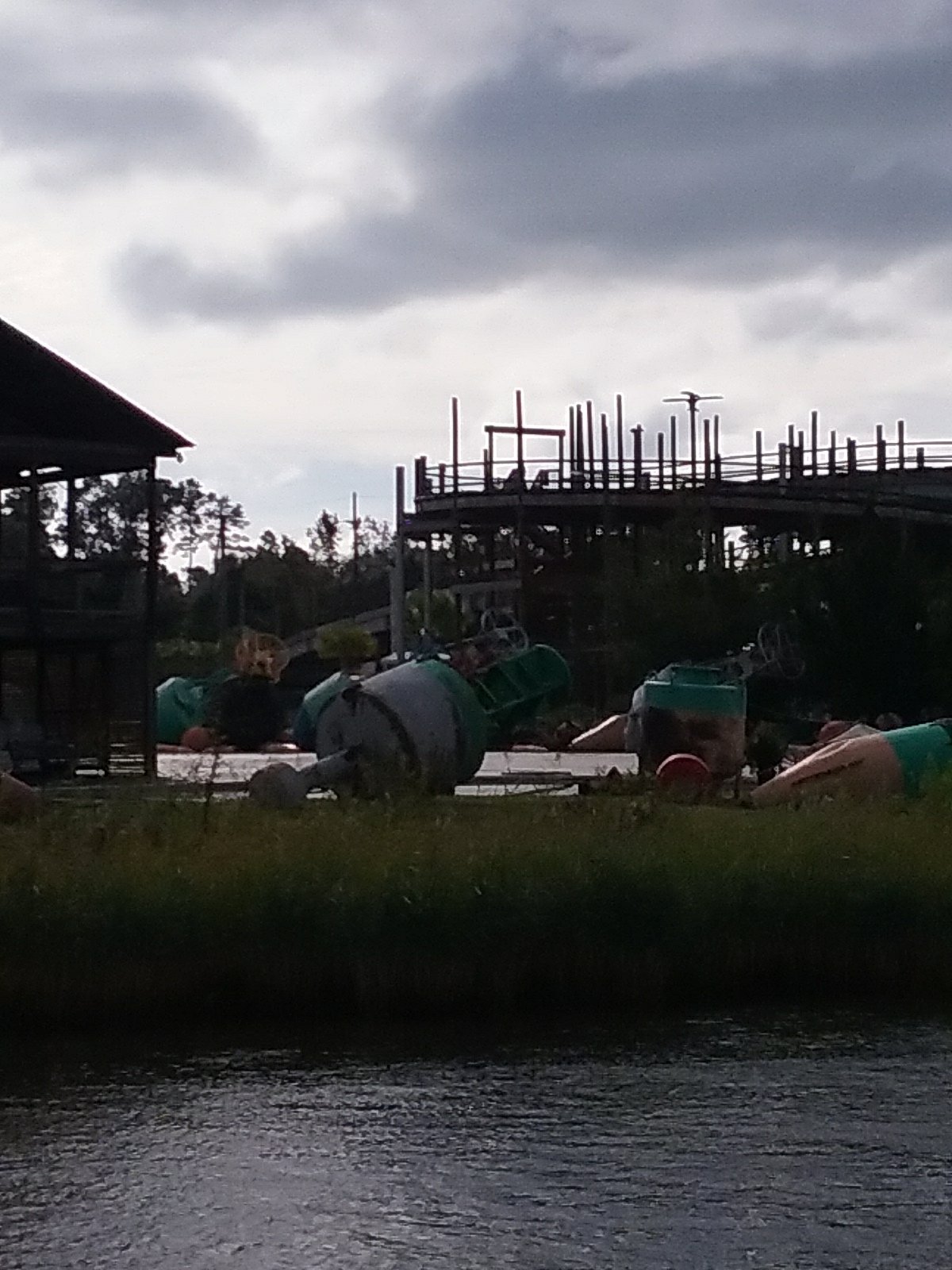
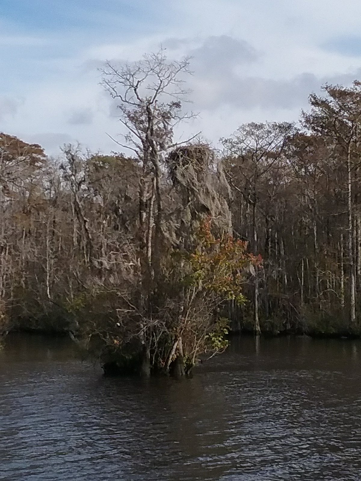
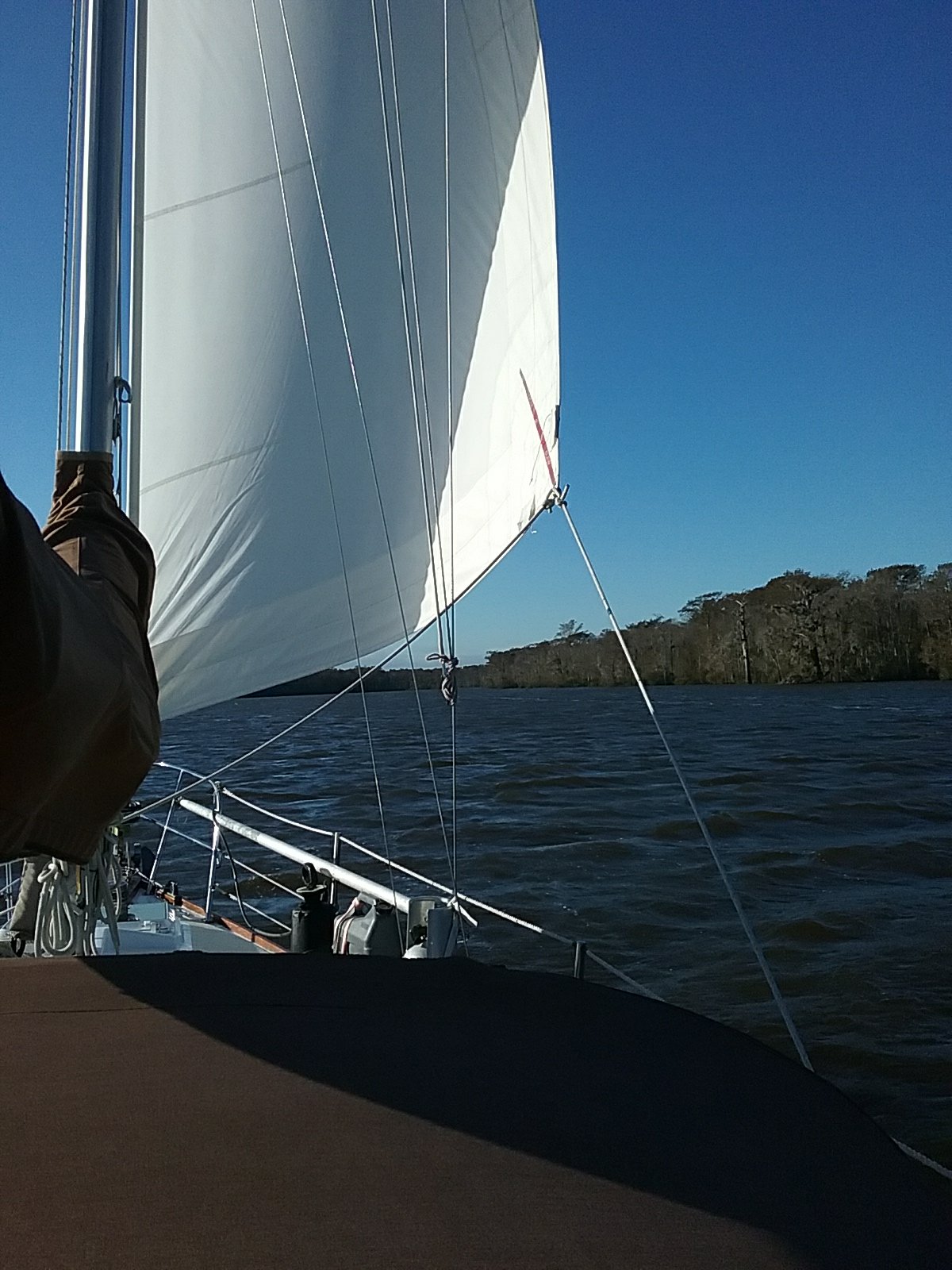
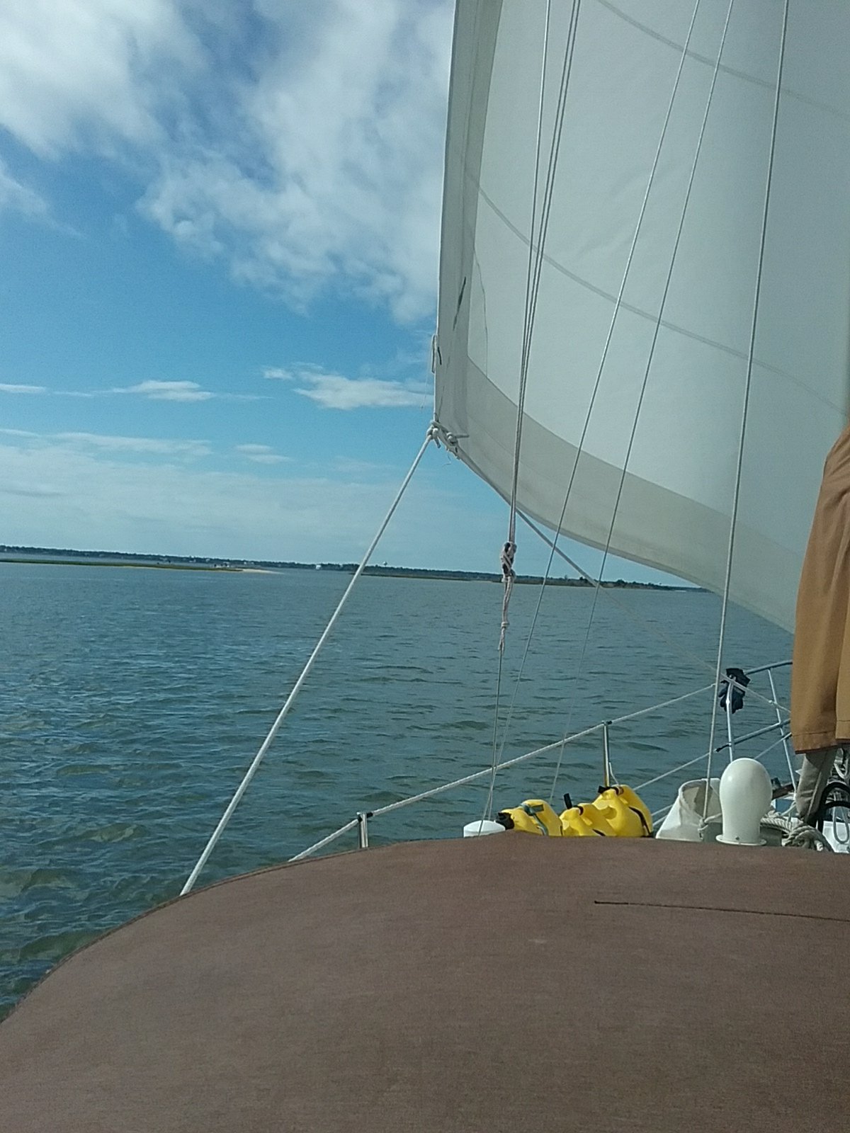
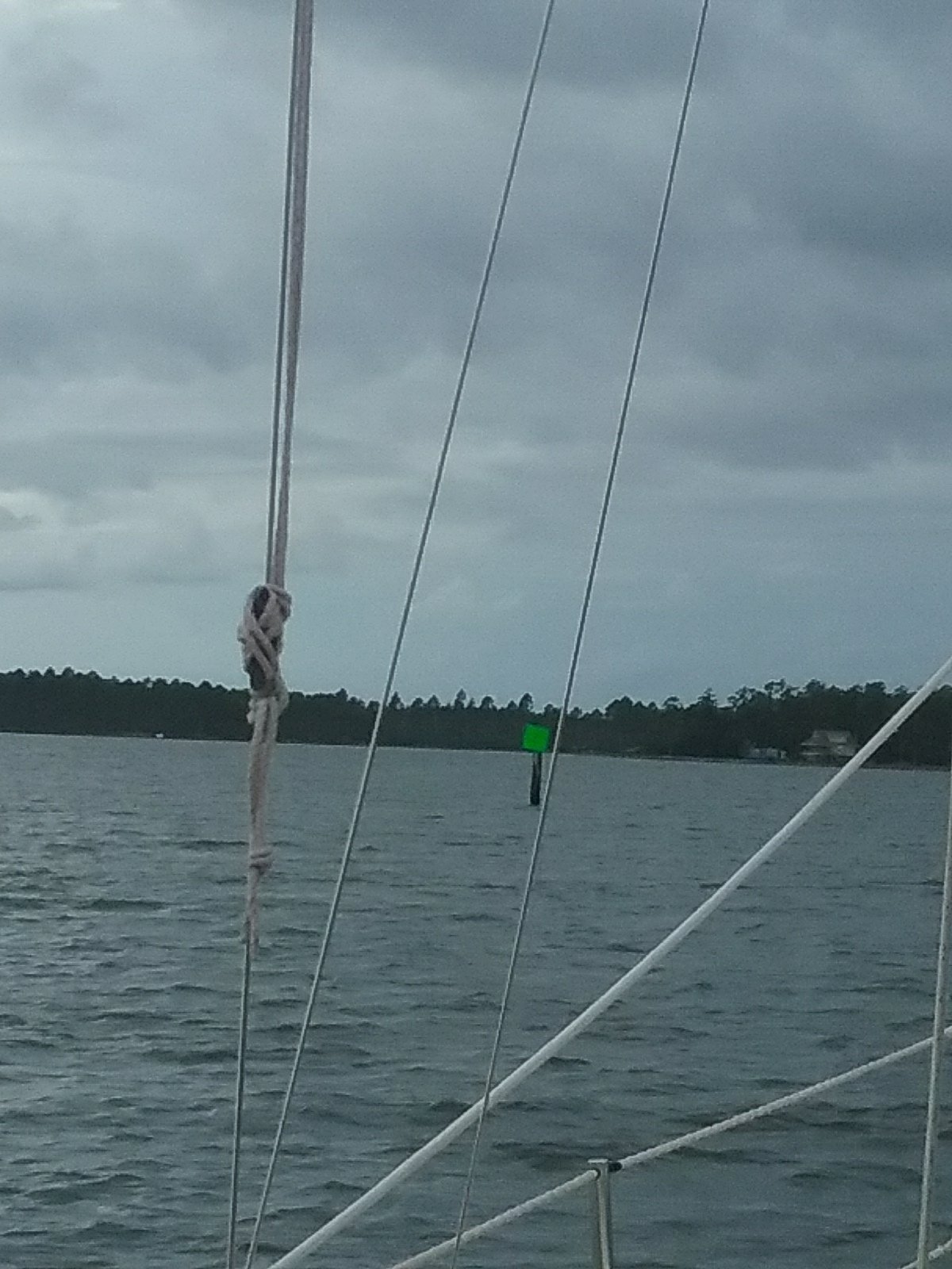
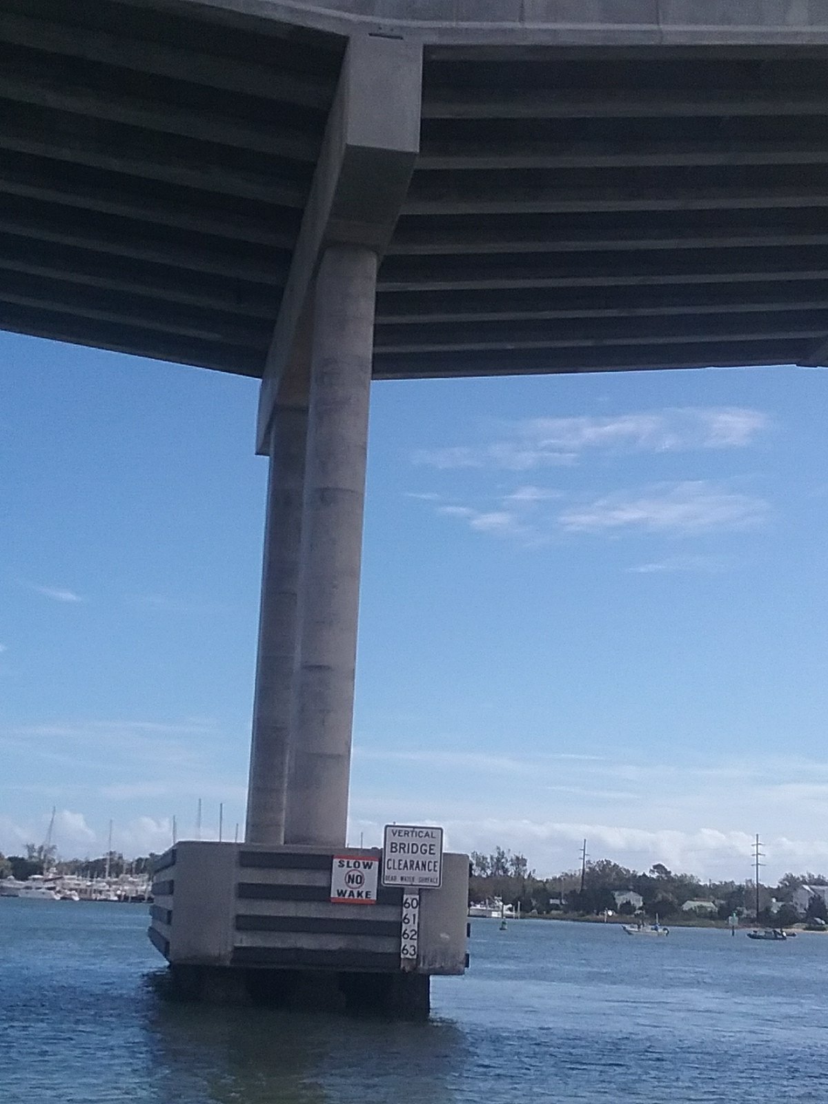
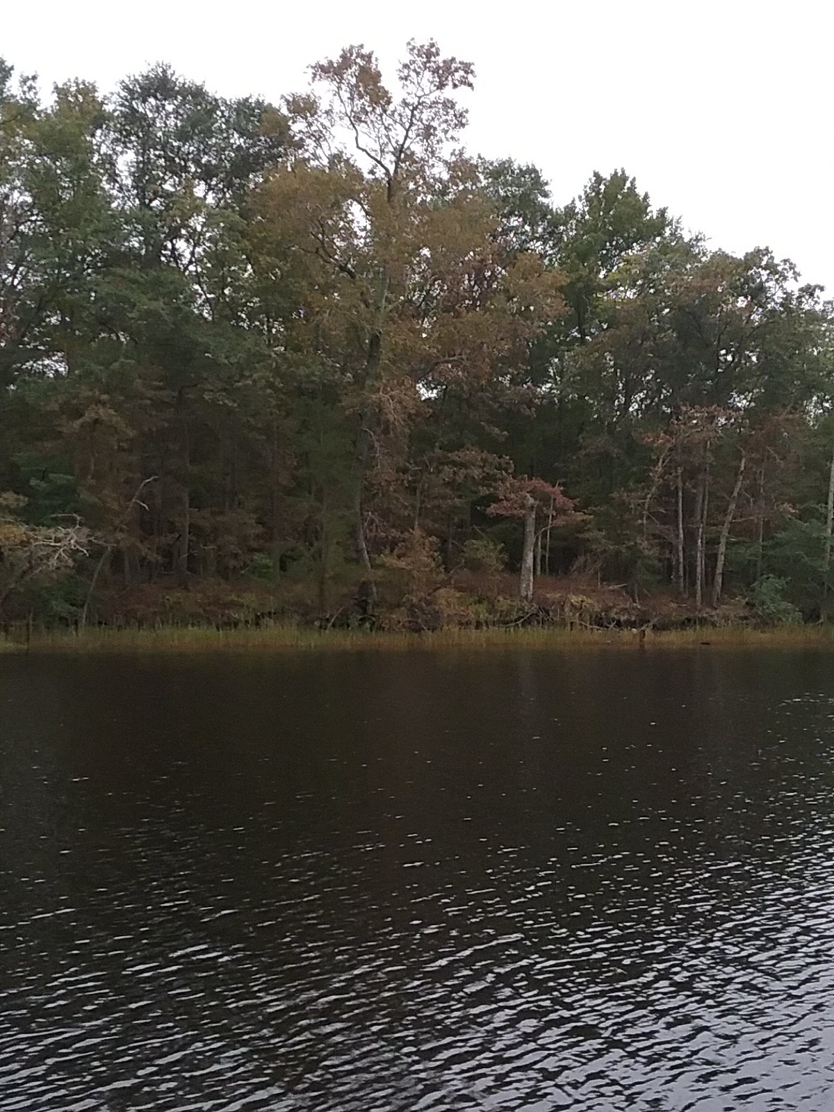
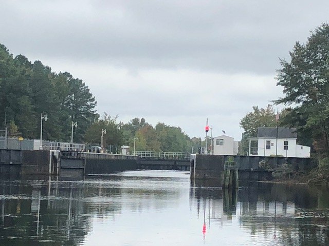
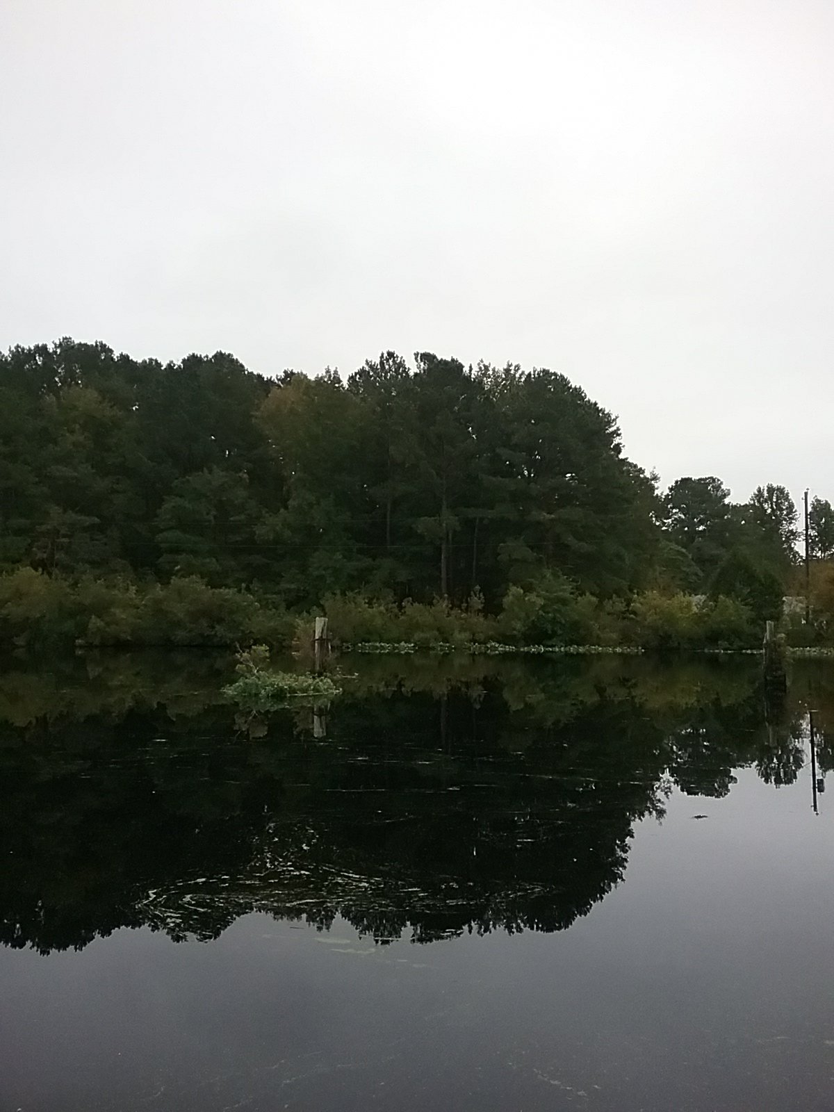
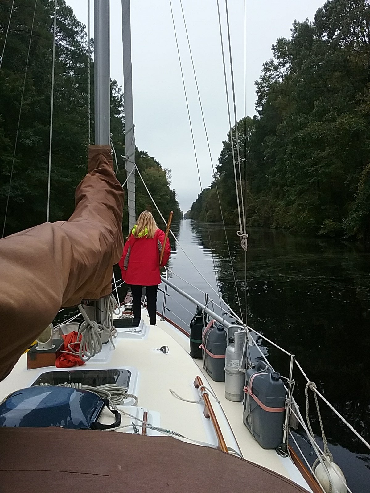
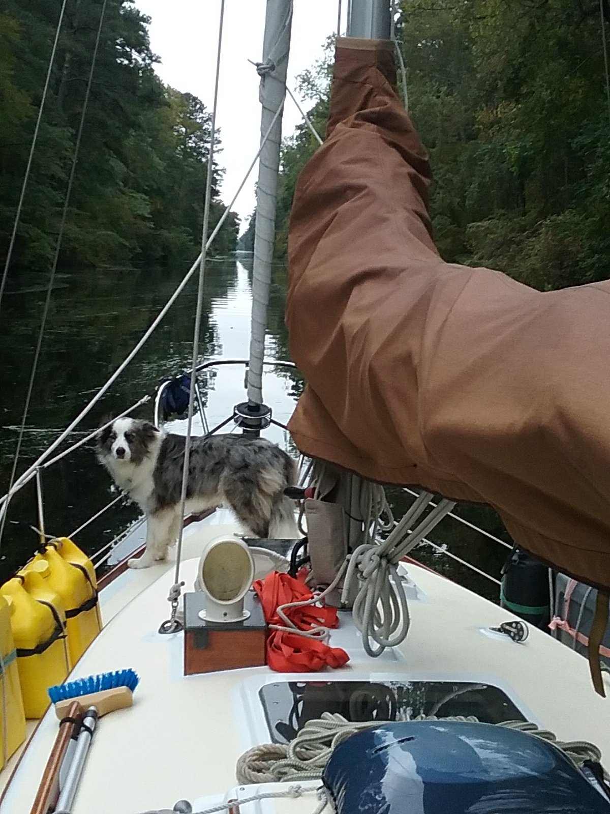
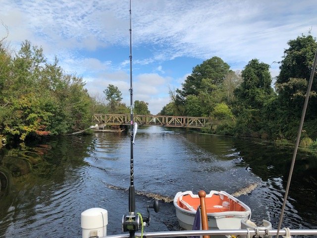
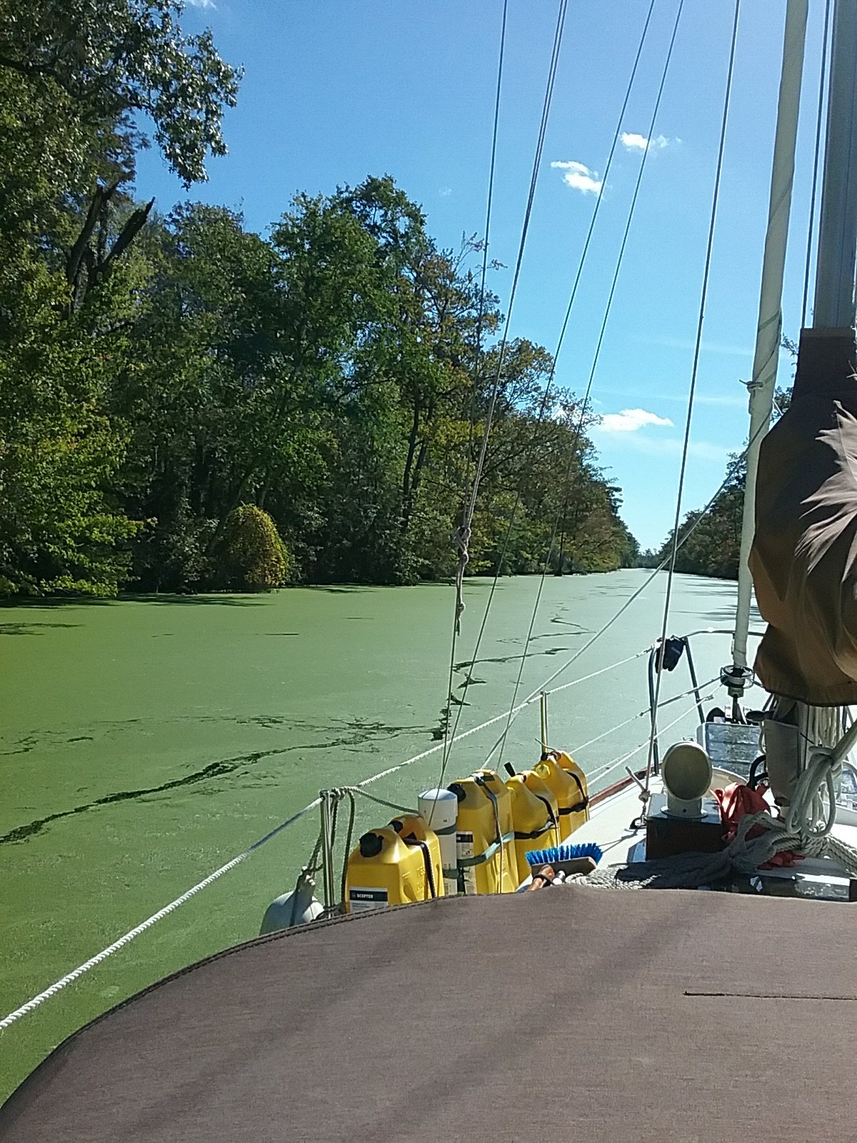
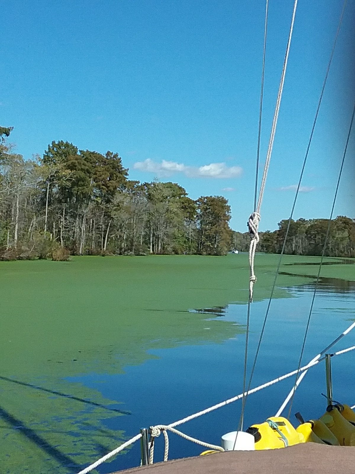
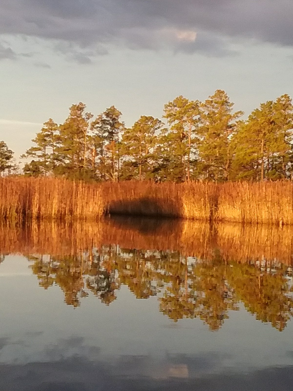
At the south end of The Dismal Swamp Canal is the South Mills Lock and draw bridge. The green goop got thicker. We went through the lock. Our elevation dropped around 10 feet and we all entered Turners Cut, another old canal. This eventually leads to the Pasquotank river. This area is all forested swamp lands. The knot weed (green goop) seemed to be almost thicker. Eventually we had to stop. Our sea strainer was hardly moving any water through it (vital to the engine). I emptied the strainer of knotweed and we were back on track. Our companion boats did the same. It was nice motoring along with company for the day. We informed each other of logs or other obstacles. We still managed to hit a few big pieces of wood but no damage was done. I saw a Bald Eagle for the first time.
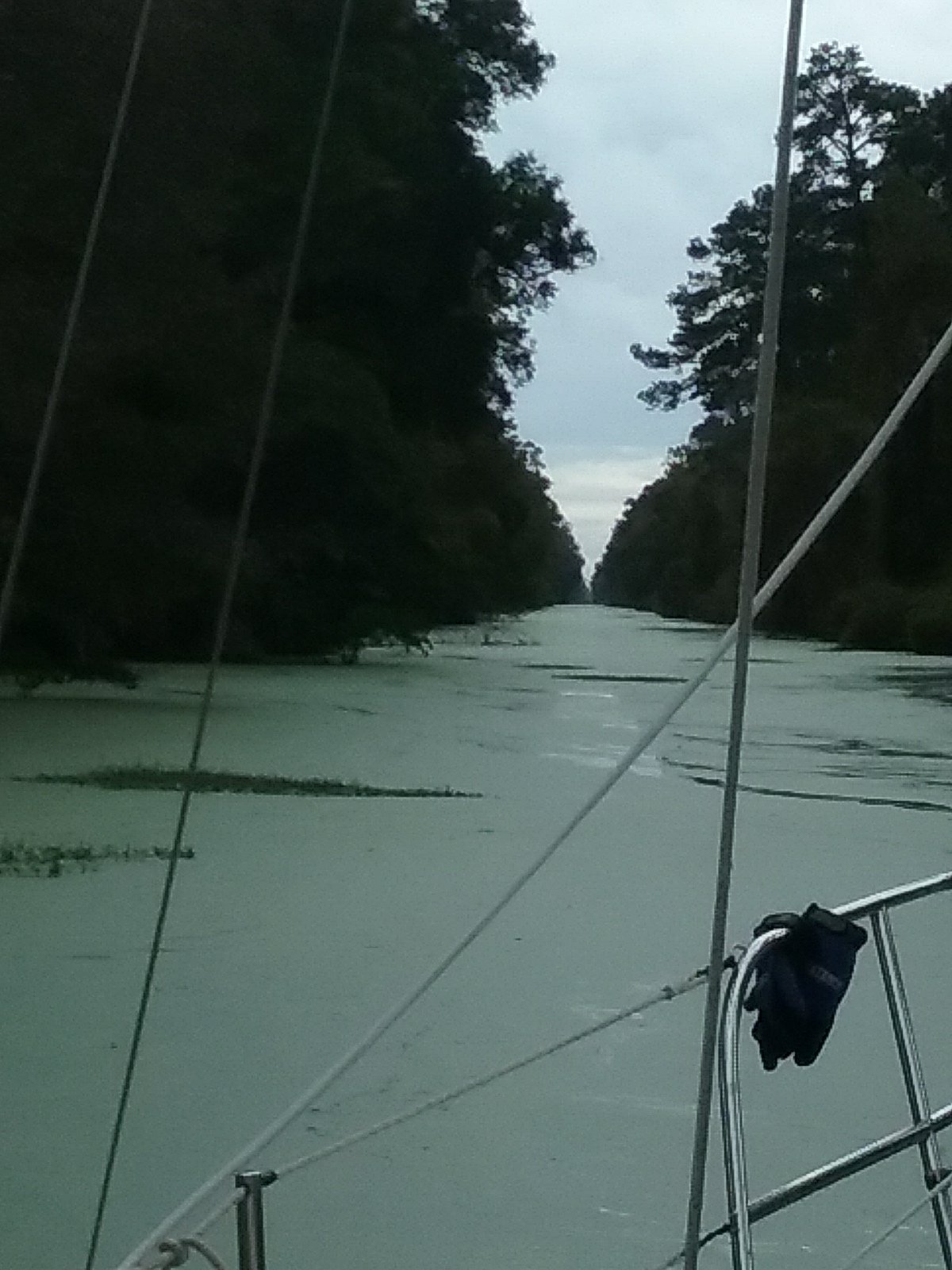
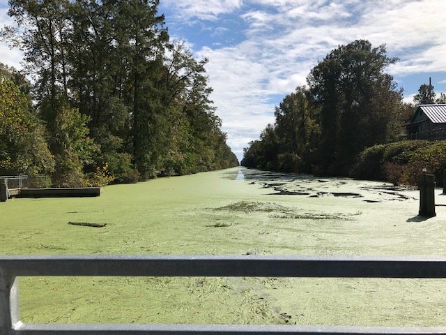
Thick green water.

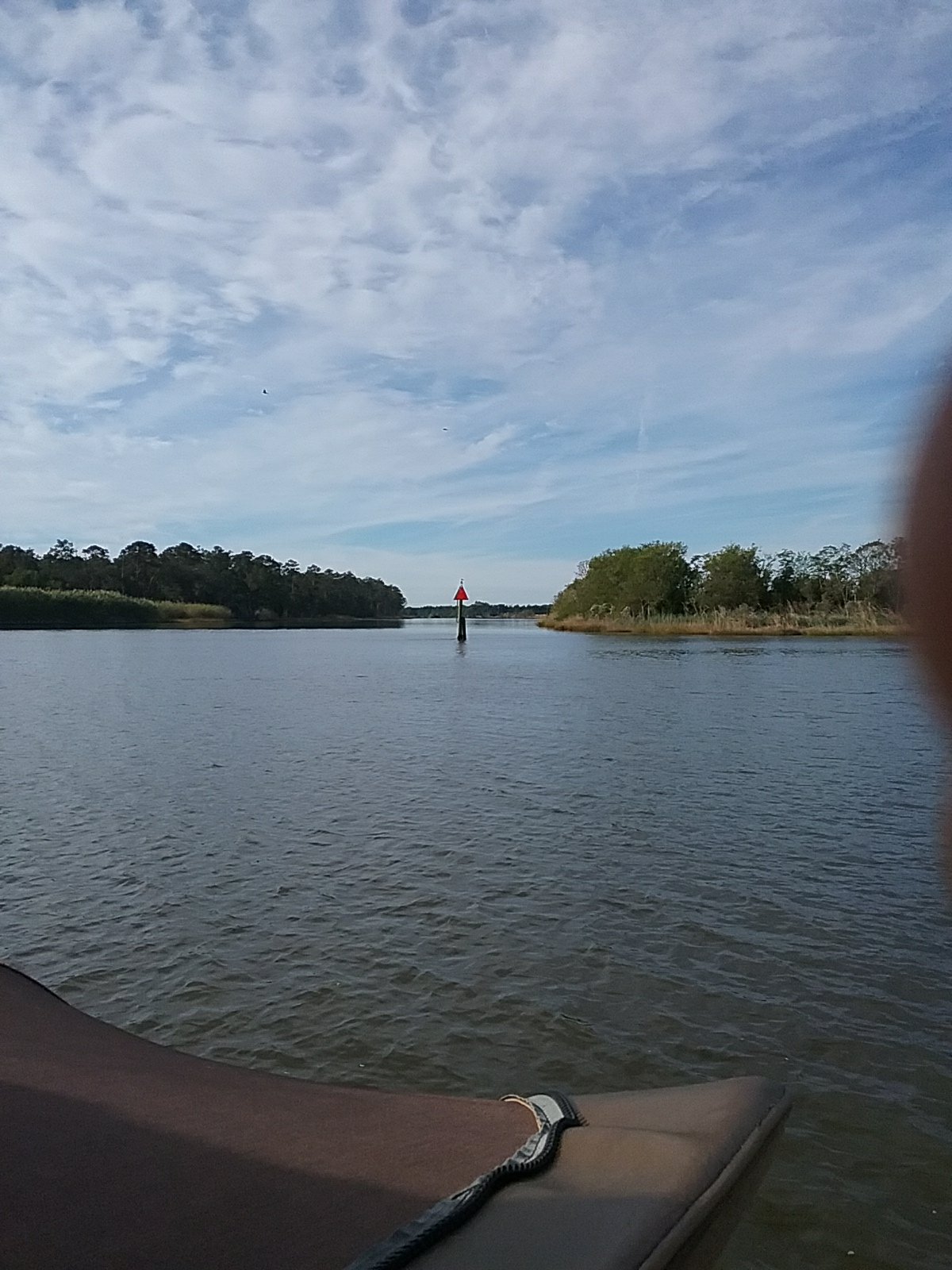
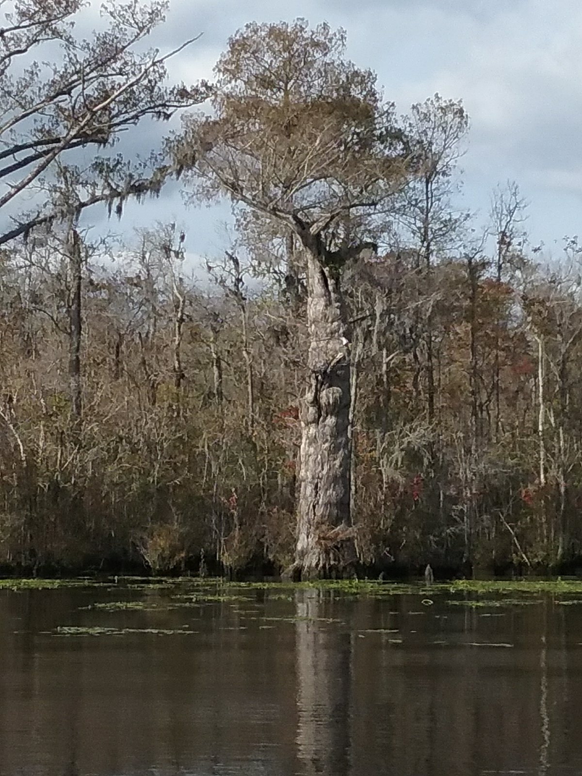
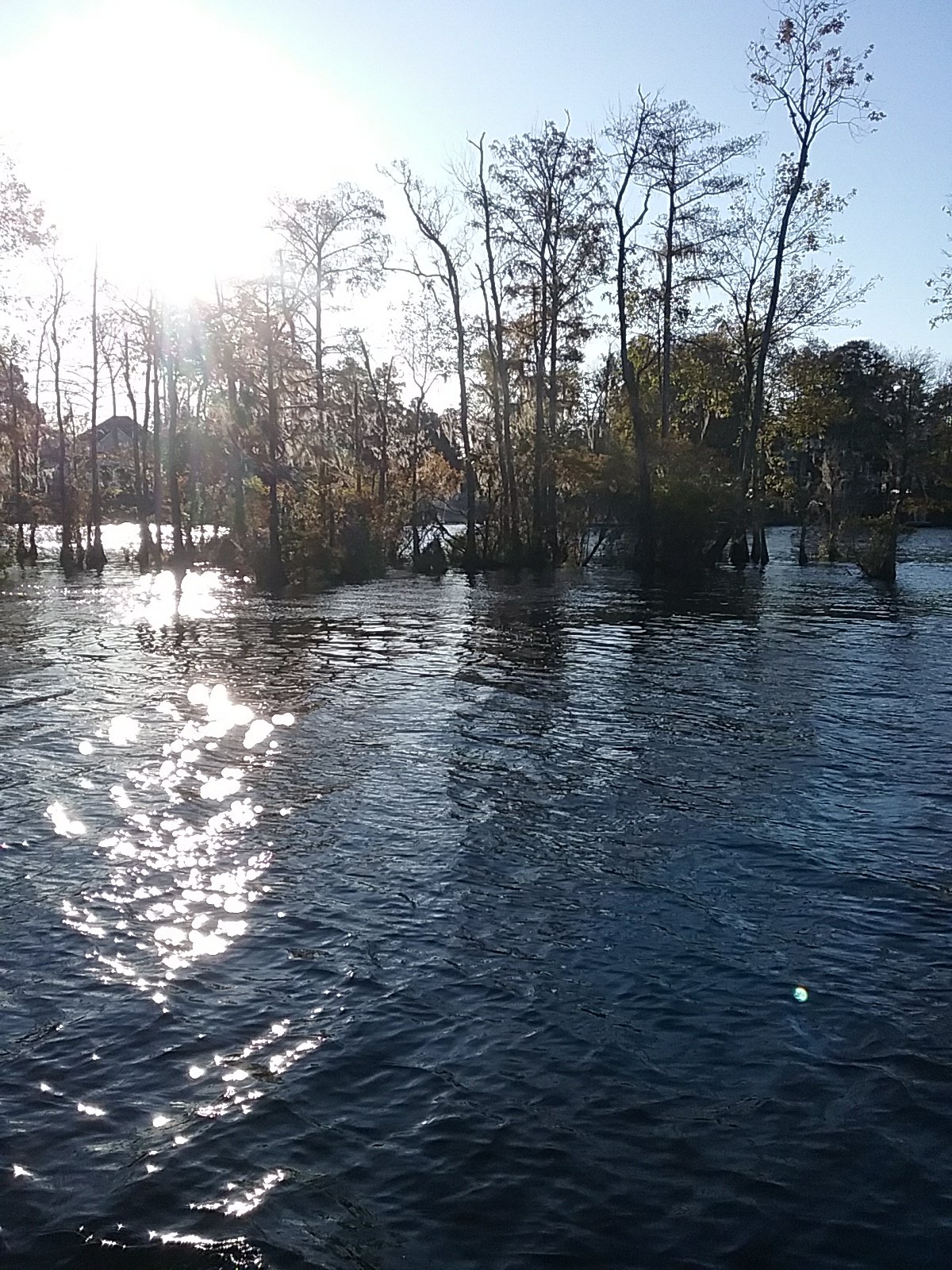
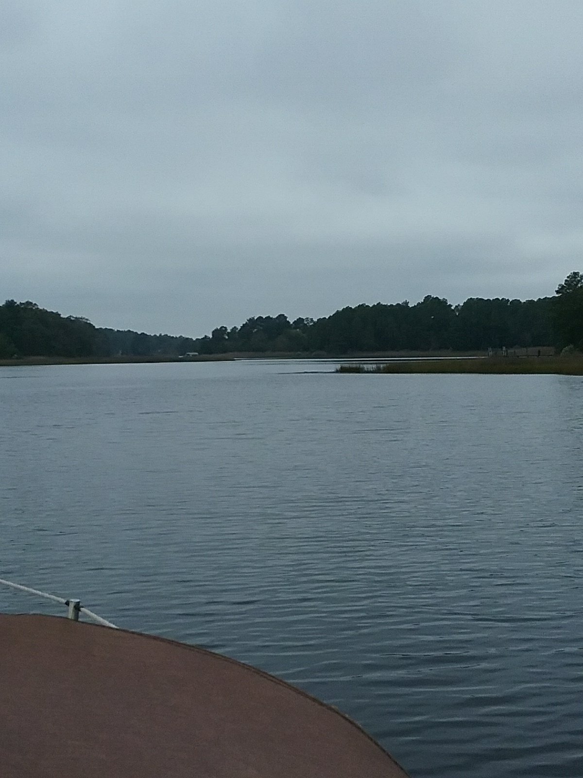
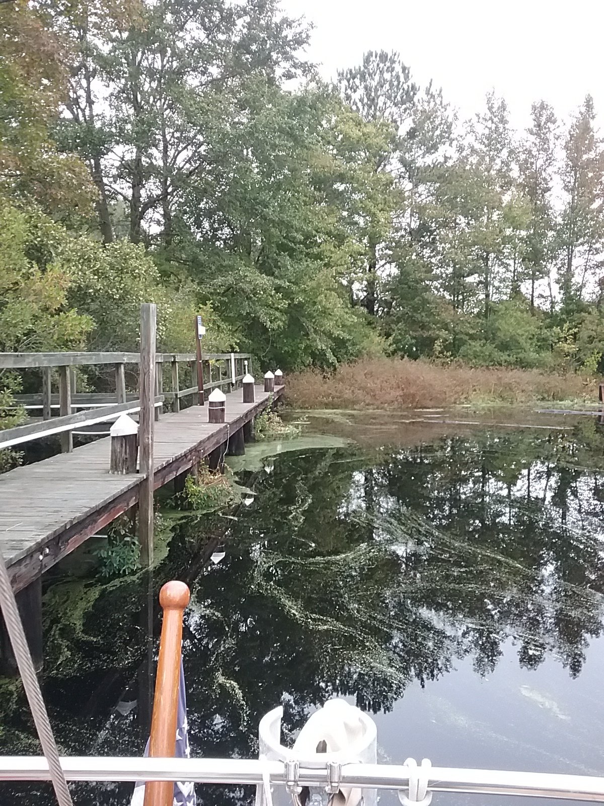
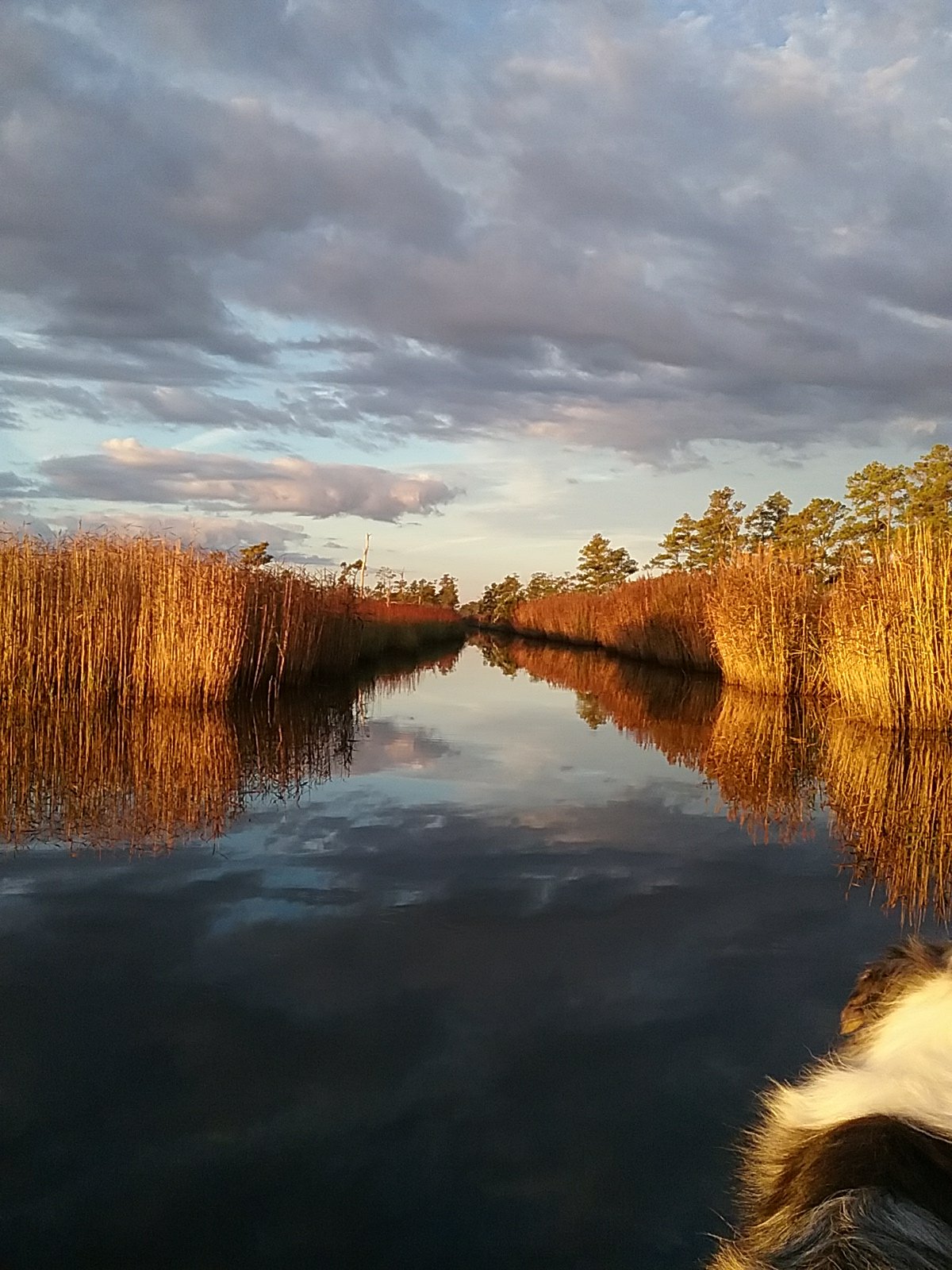
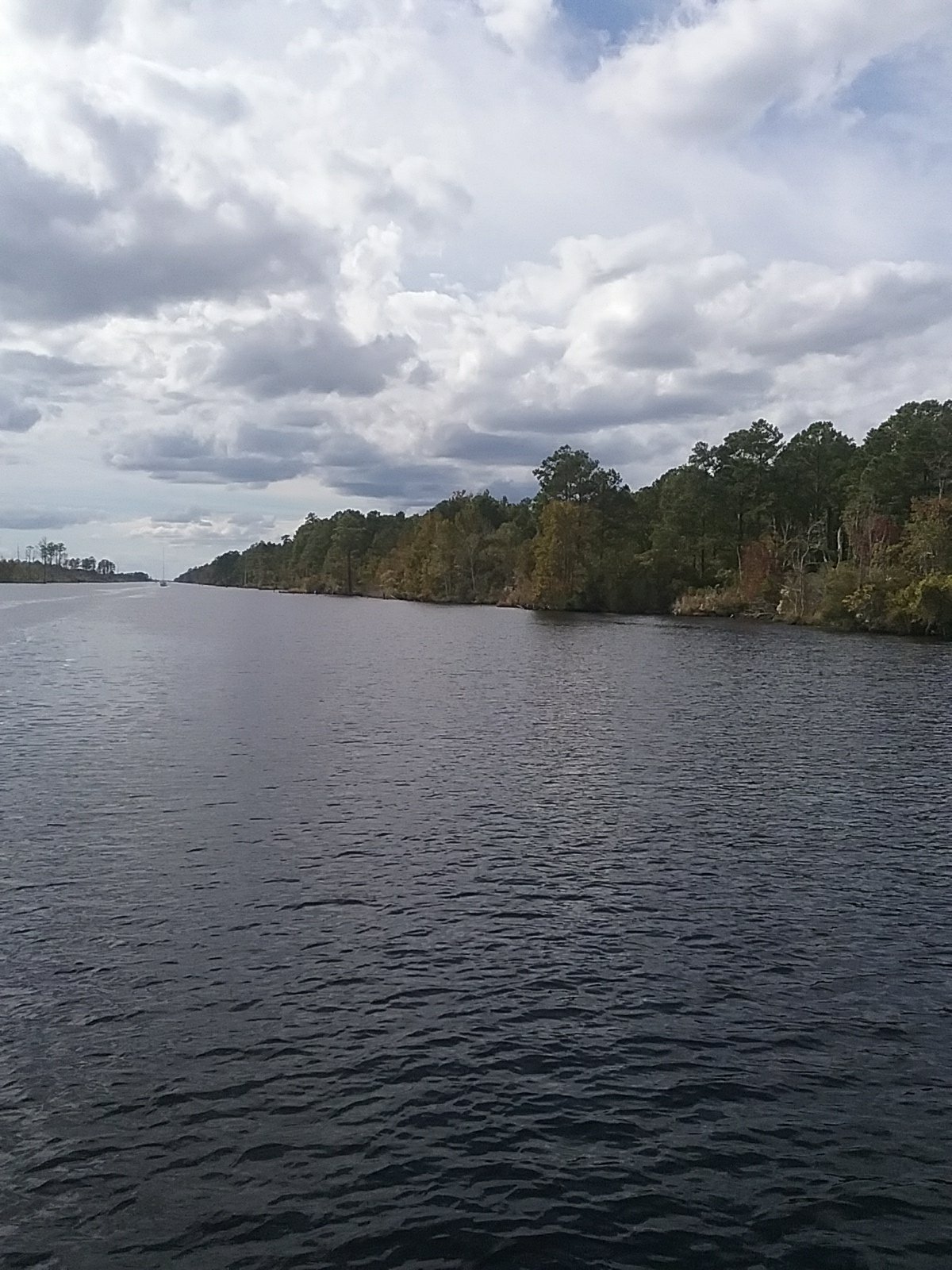
A path on the Pasquotank ?

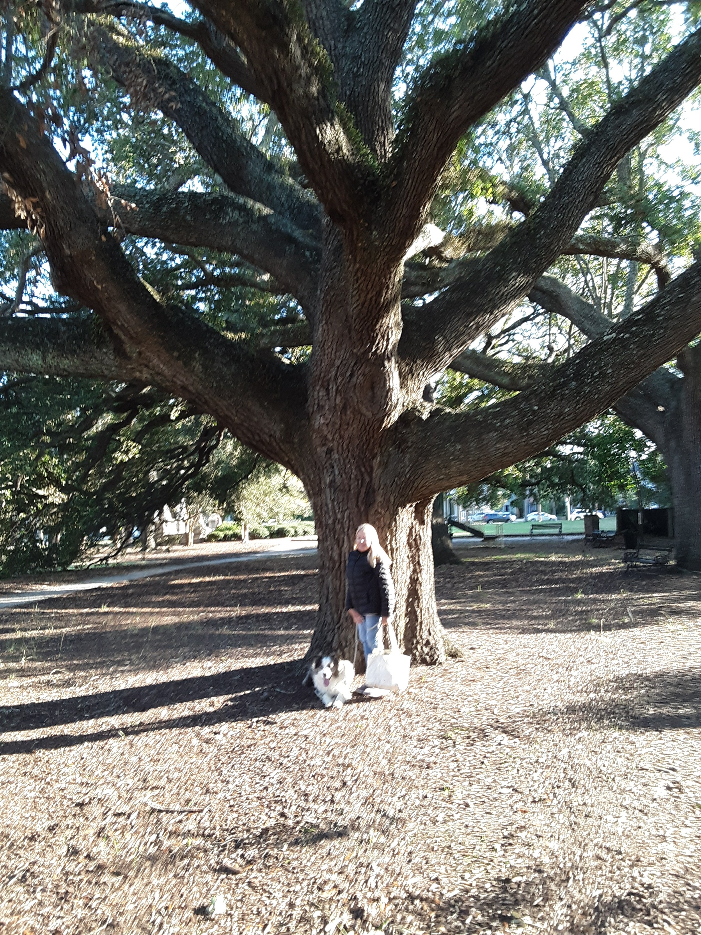
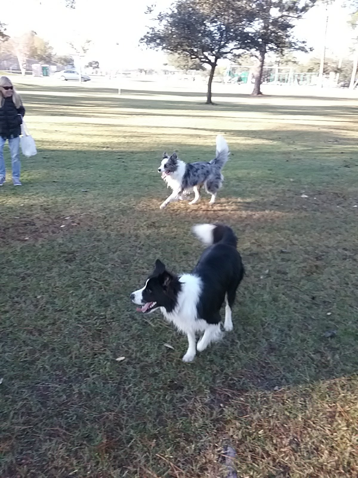
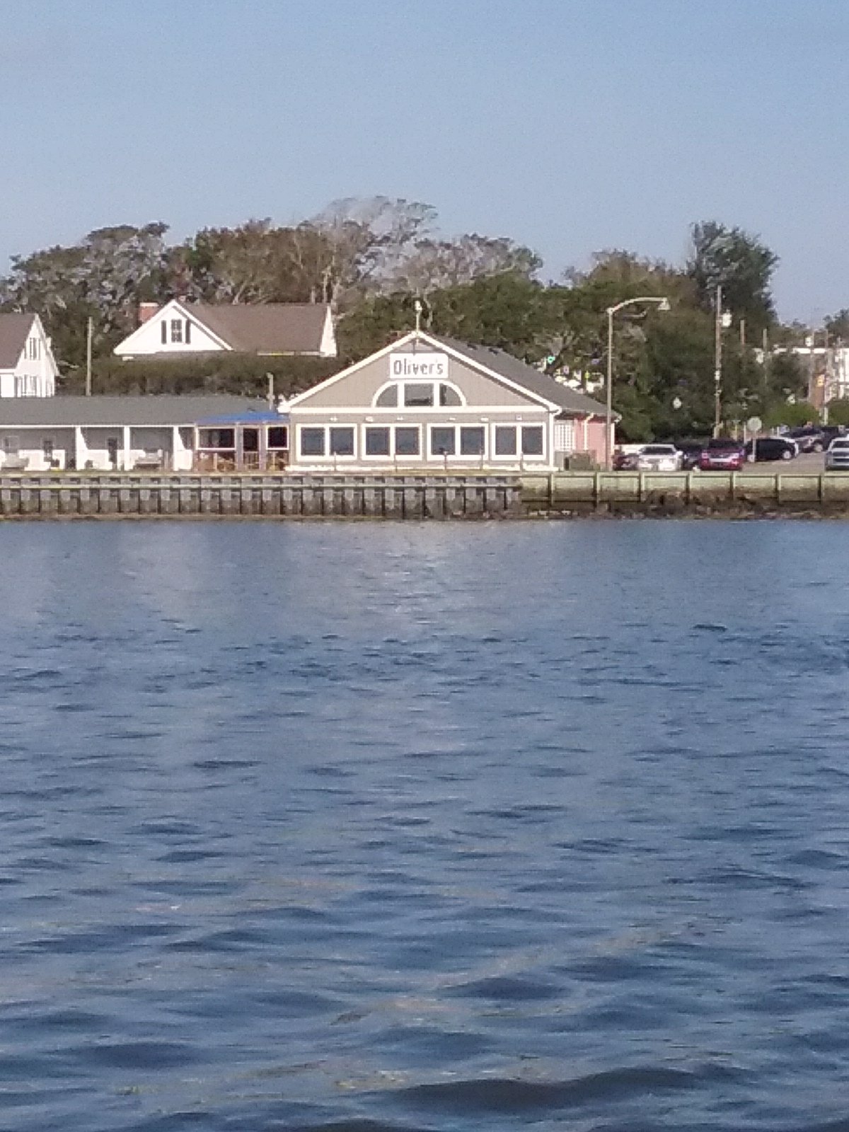
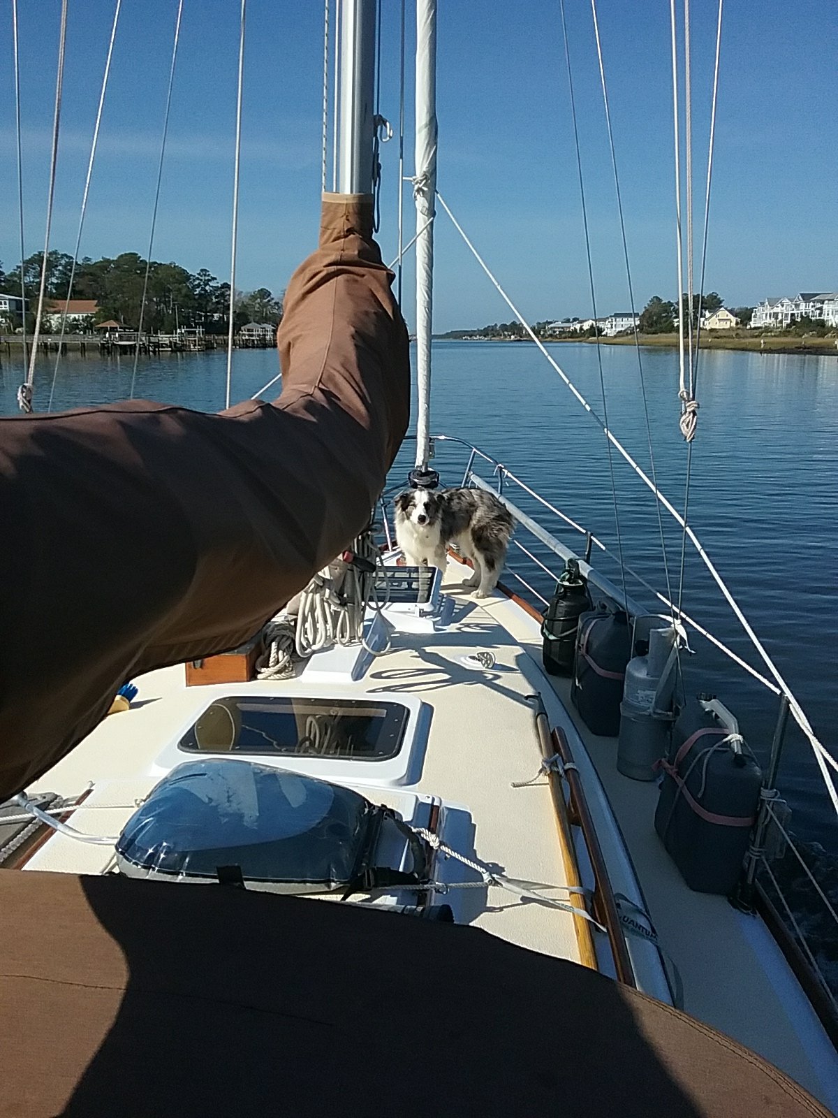
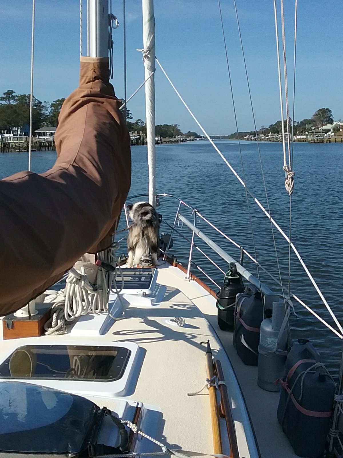
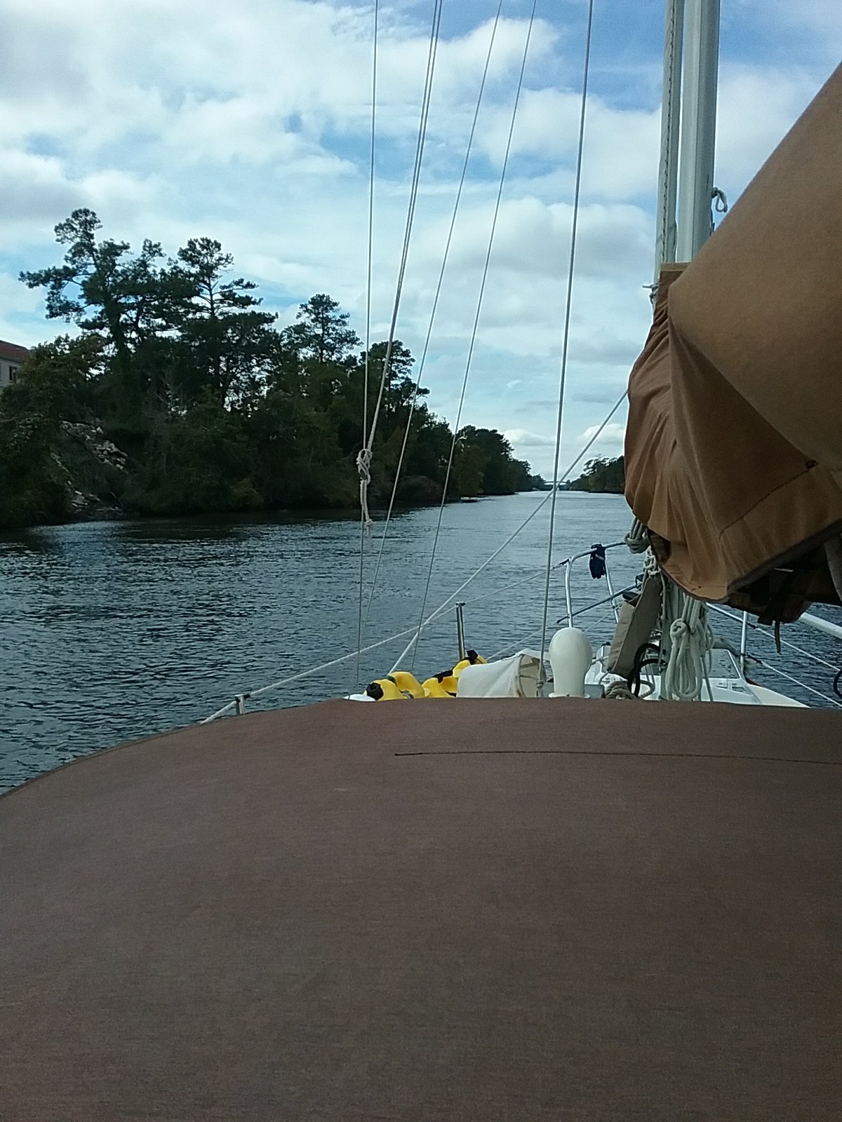
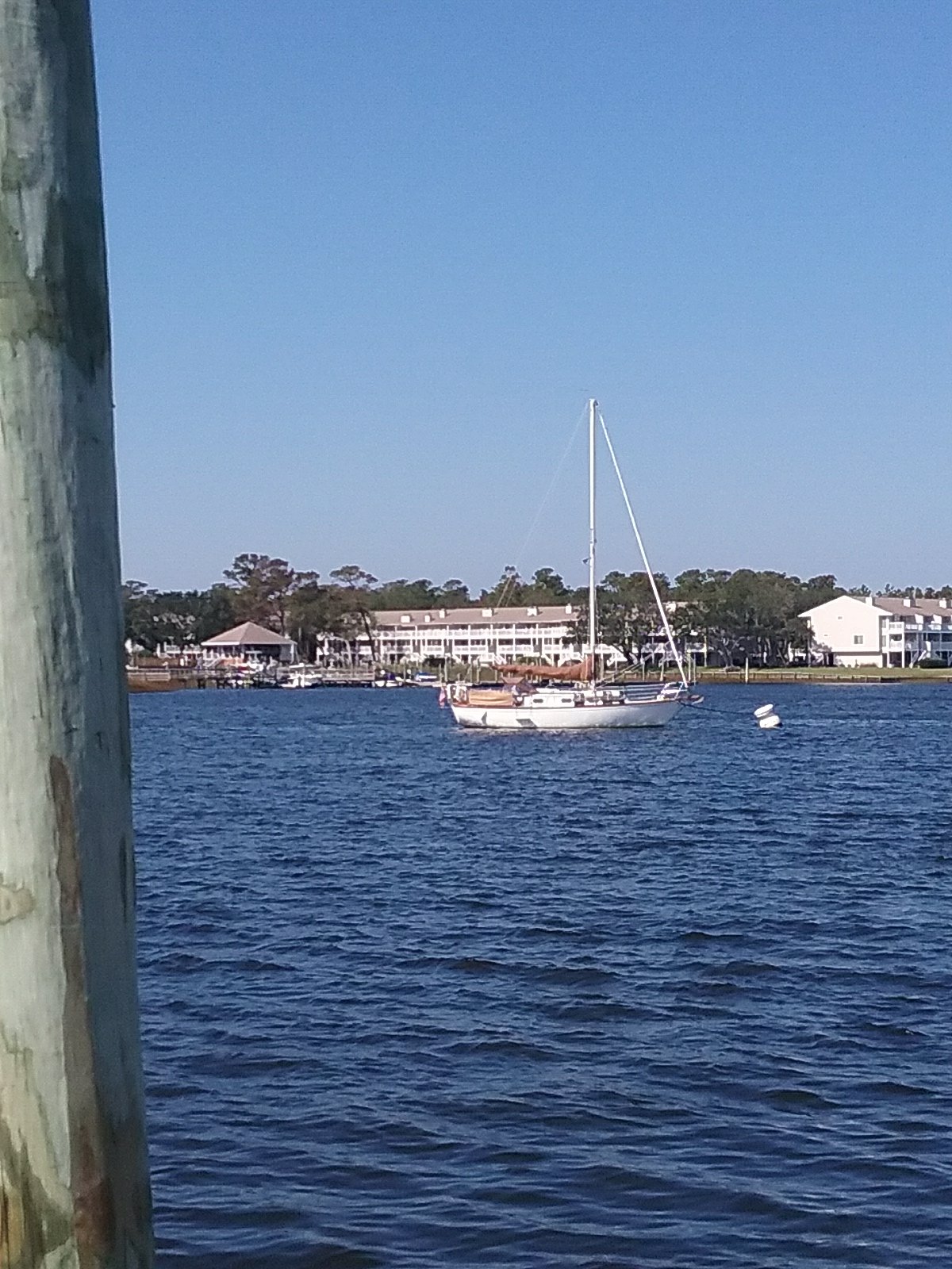
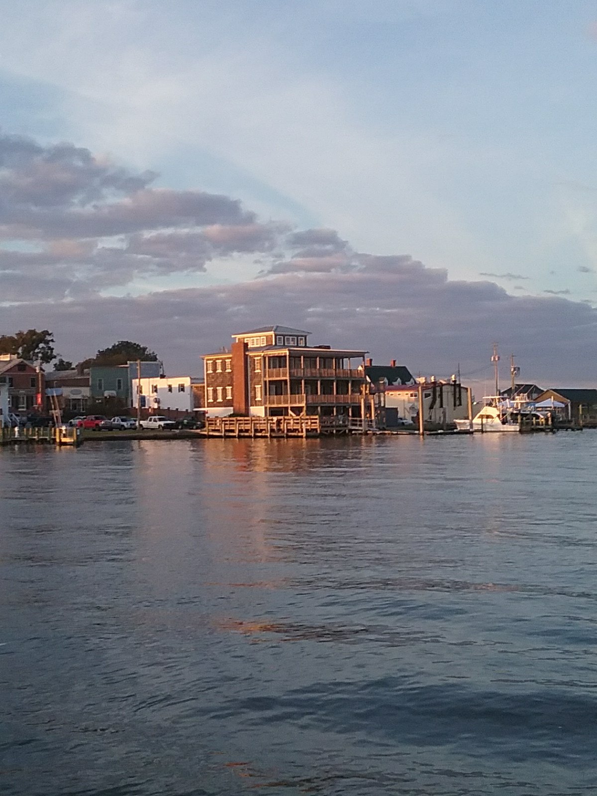
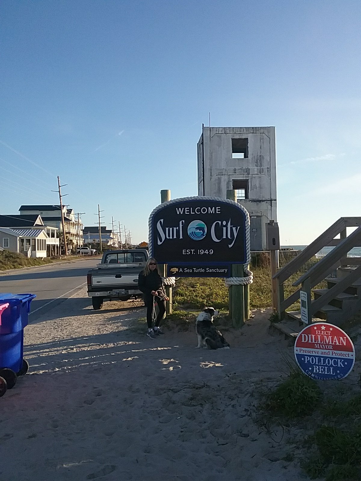
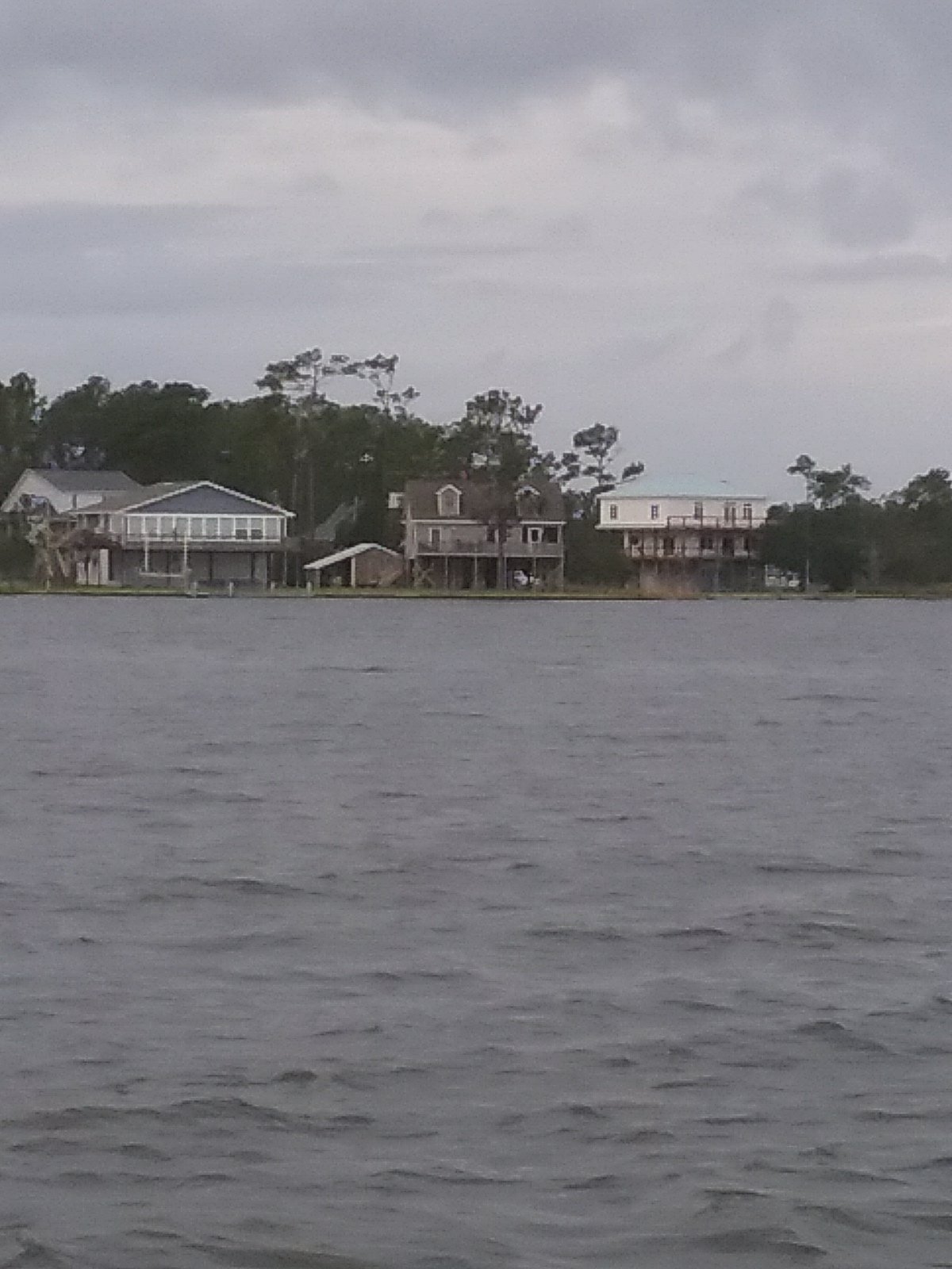
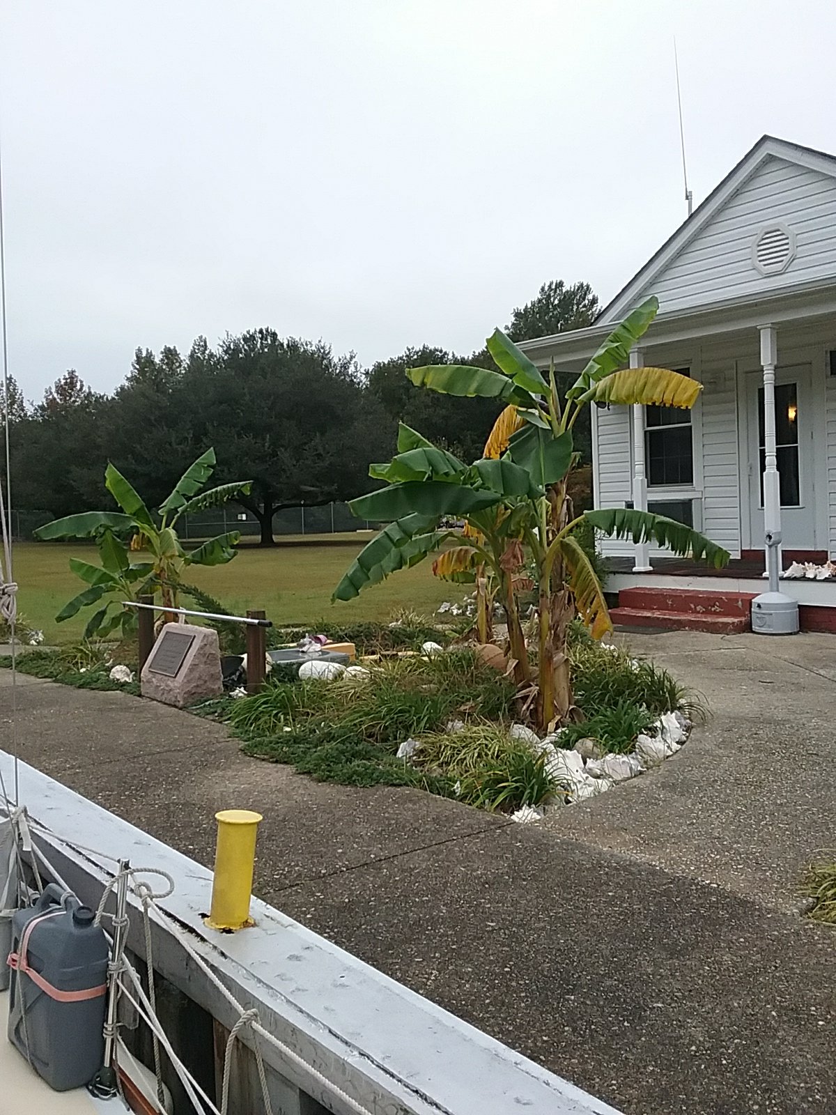
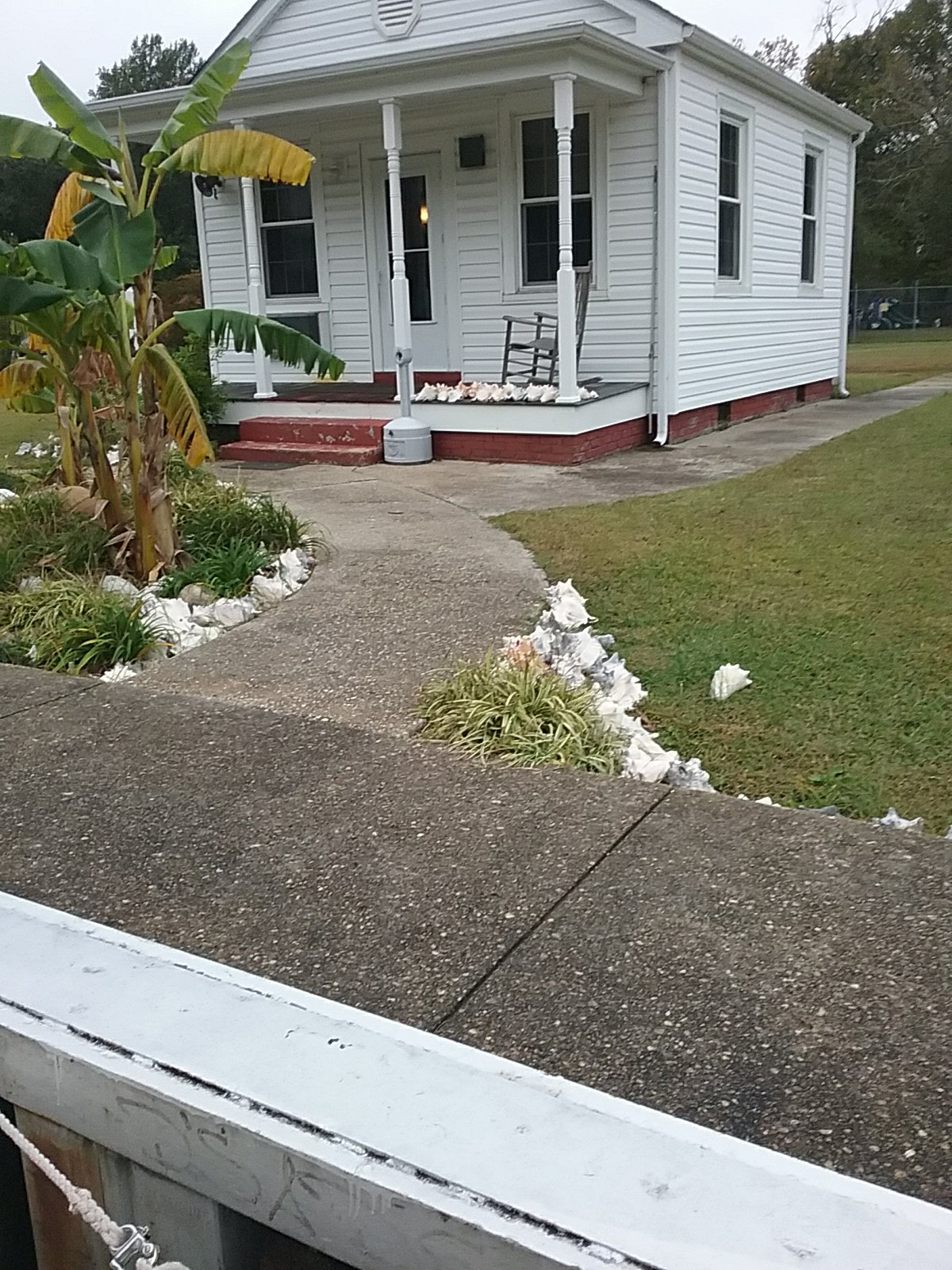
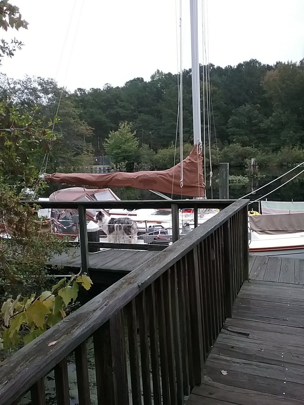
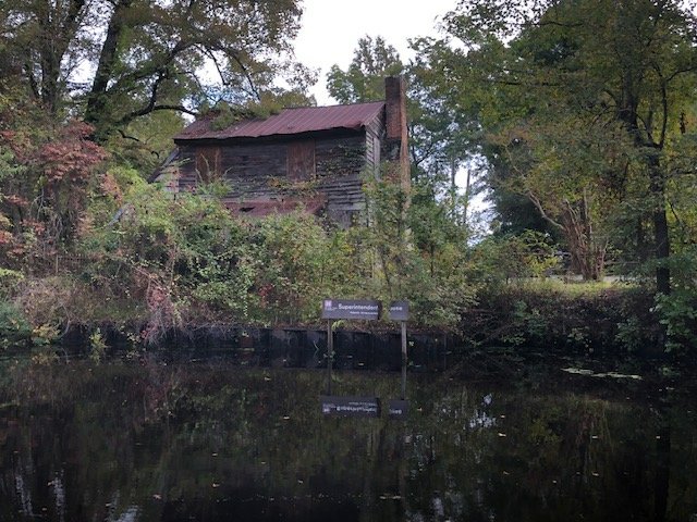
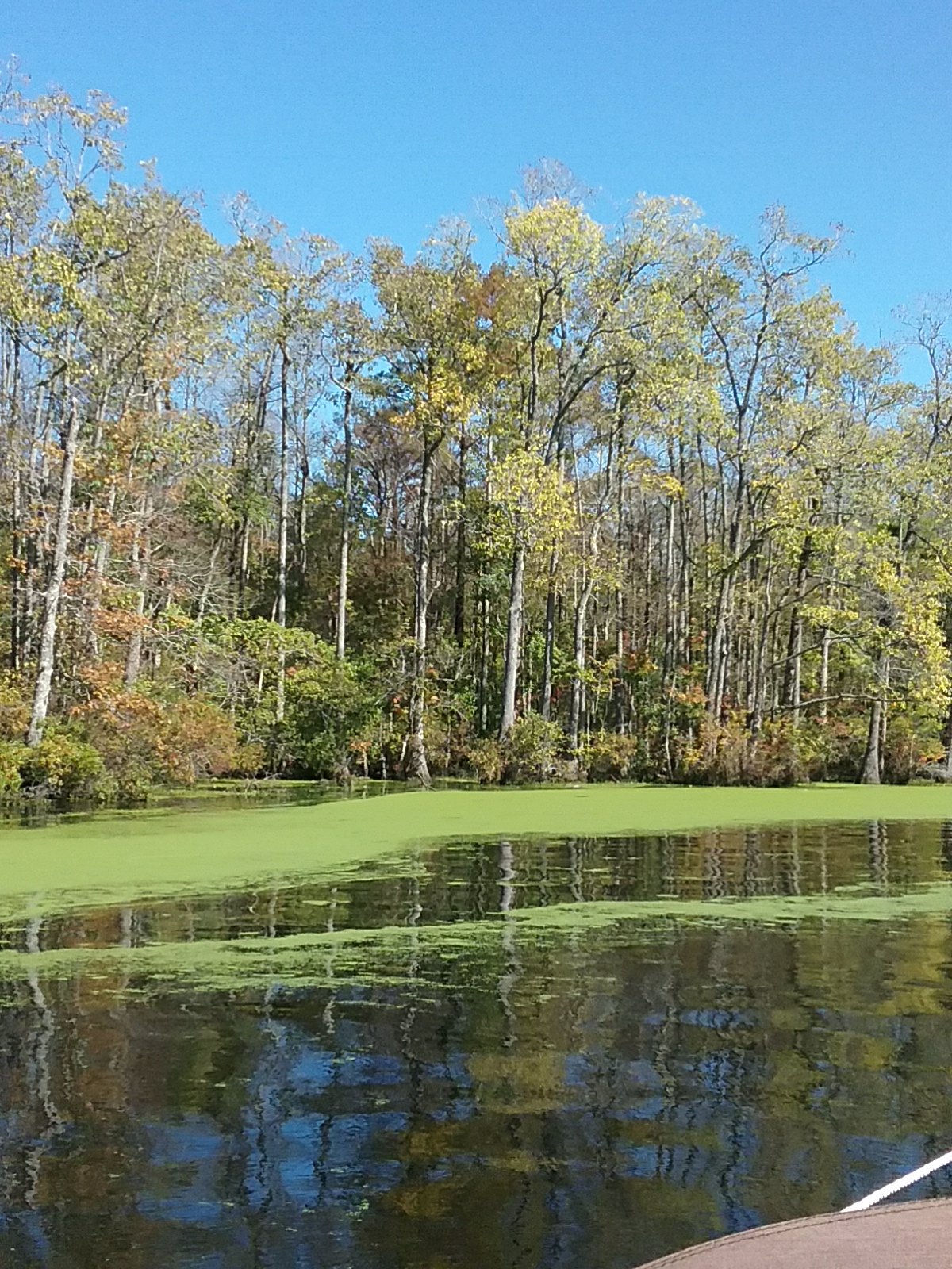
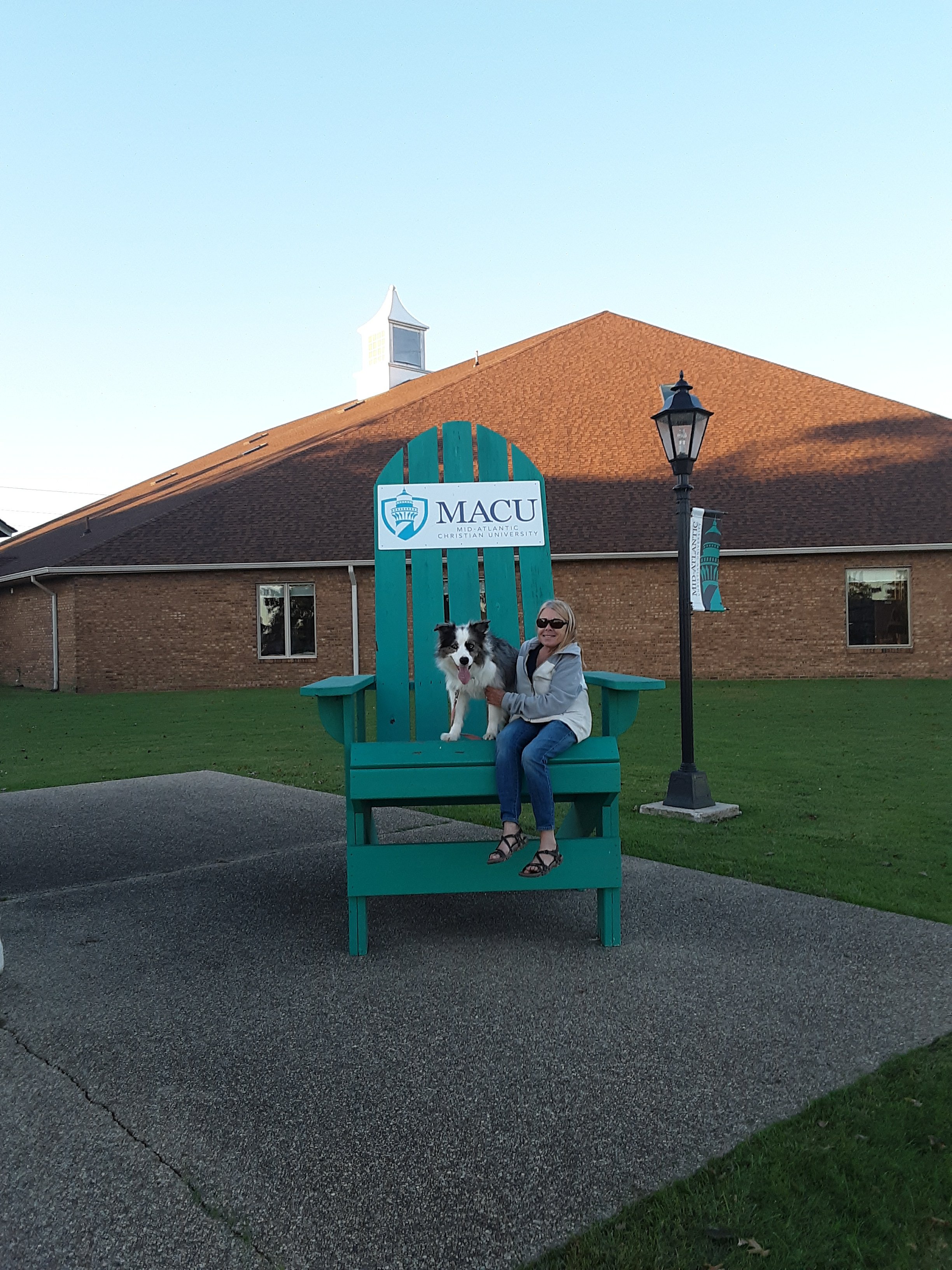
We followed the winding Pasquotank River down to Elizabeth City. Over the past few days we’ve met up with a few different boats that have mentioned the hospitality of the Mid Atlantic Christian University. When we approached the docks we were waved down by a dock hand and the crew of Steadfast, whom we met at Hampton and one of the Dismal locks. Wayfinder and Pagu Club also docked at the university for the night. I am not very religious. I was not hit by a lightning bolt. The dock master was very welcoming. They have a fine university and campus. They allowed us to stay at the dock and use the showers. I’ve heard the breakfast in the cafeteria is very good but we moved on in the morning.

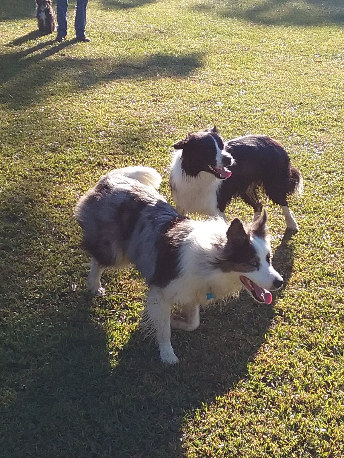
We have bugs in New England. Once, while anchored in Tarpaulin Cove, we were swarmed with biting flies. Gnats can be annoying at times. We experienced southern mosquitoes at Elizabeth City. The boat was swarmed. We have screens and netting that worked pretty well once deployed. Eventually we killed off the stragglers that made it inside Catalpa. I washed mosquito carcasses off of the deck in the morning. Verry buggy.

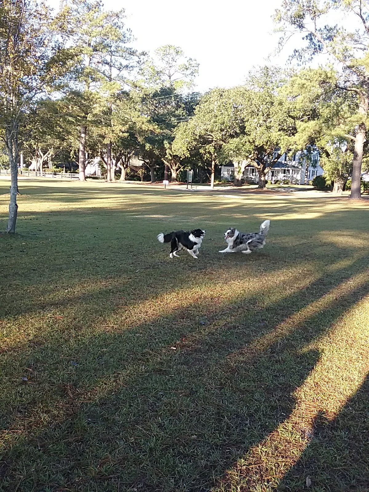
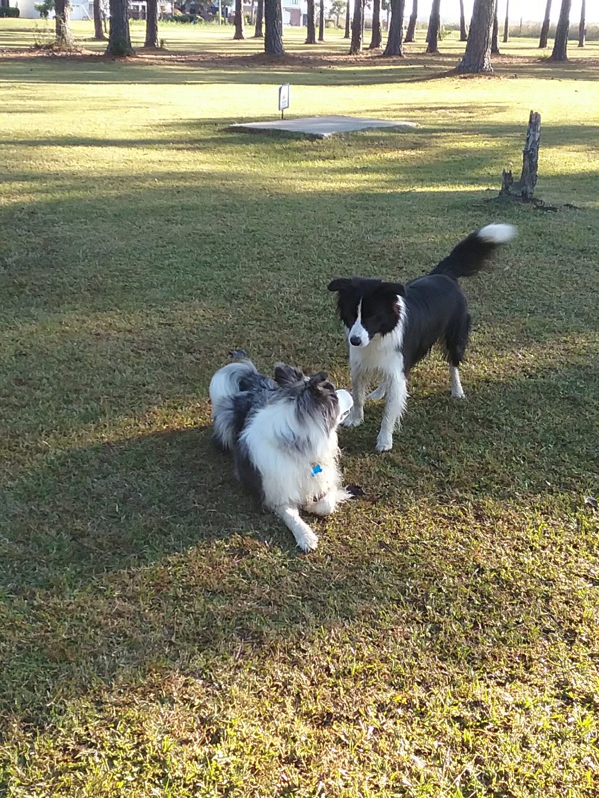
Catalpa and crew at MACU

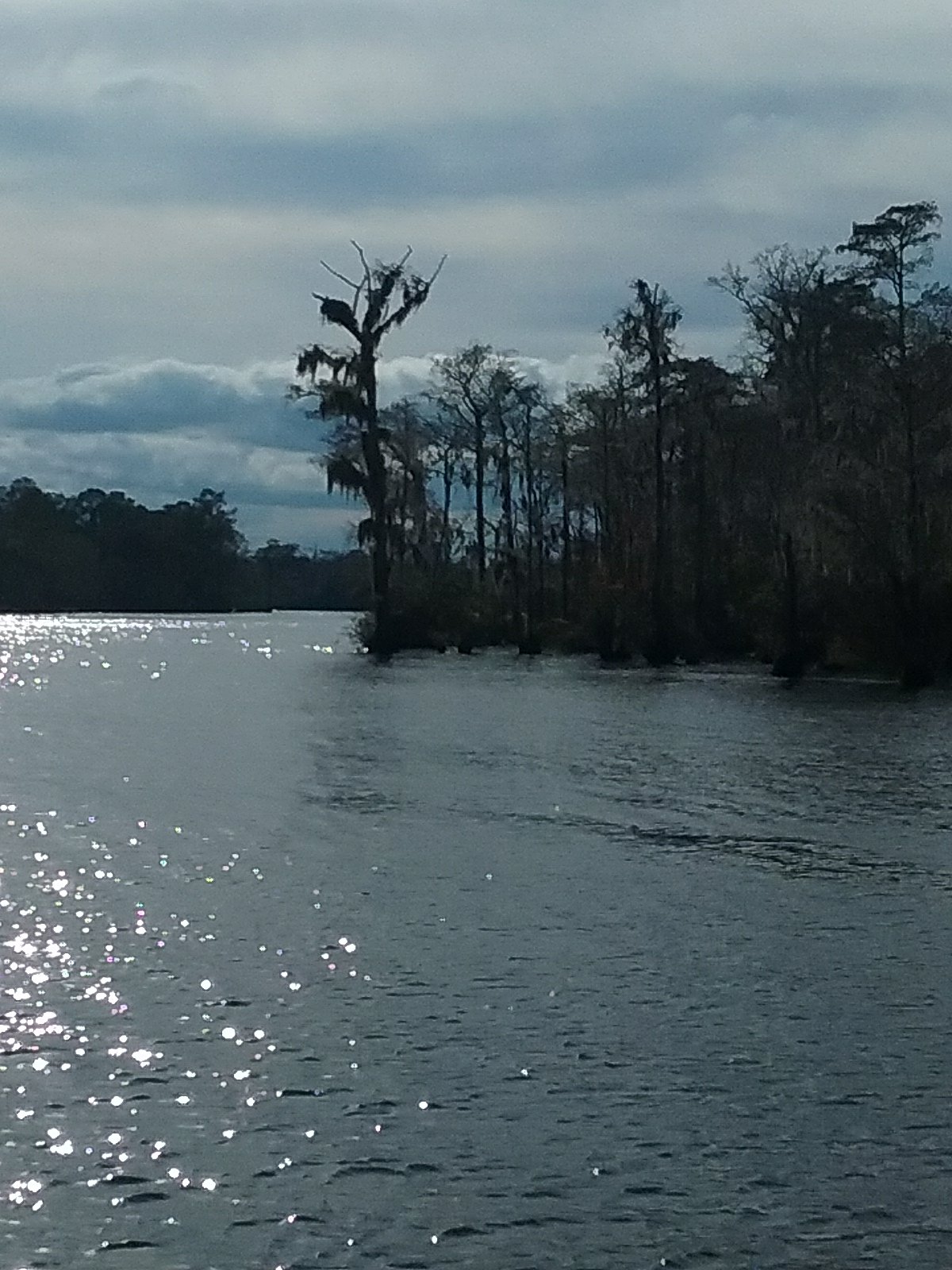
October 24th- Elizabeth City, NC to South Lake, NC (Alligator River)

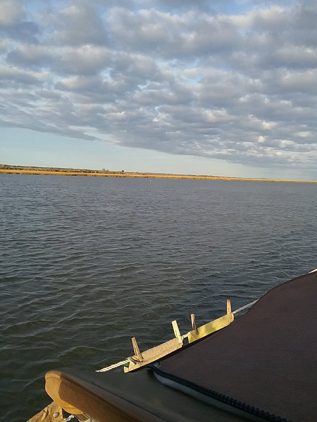
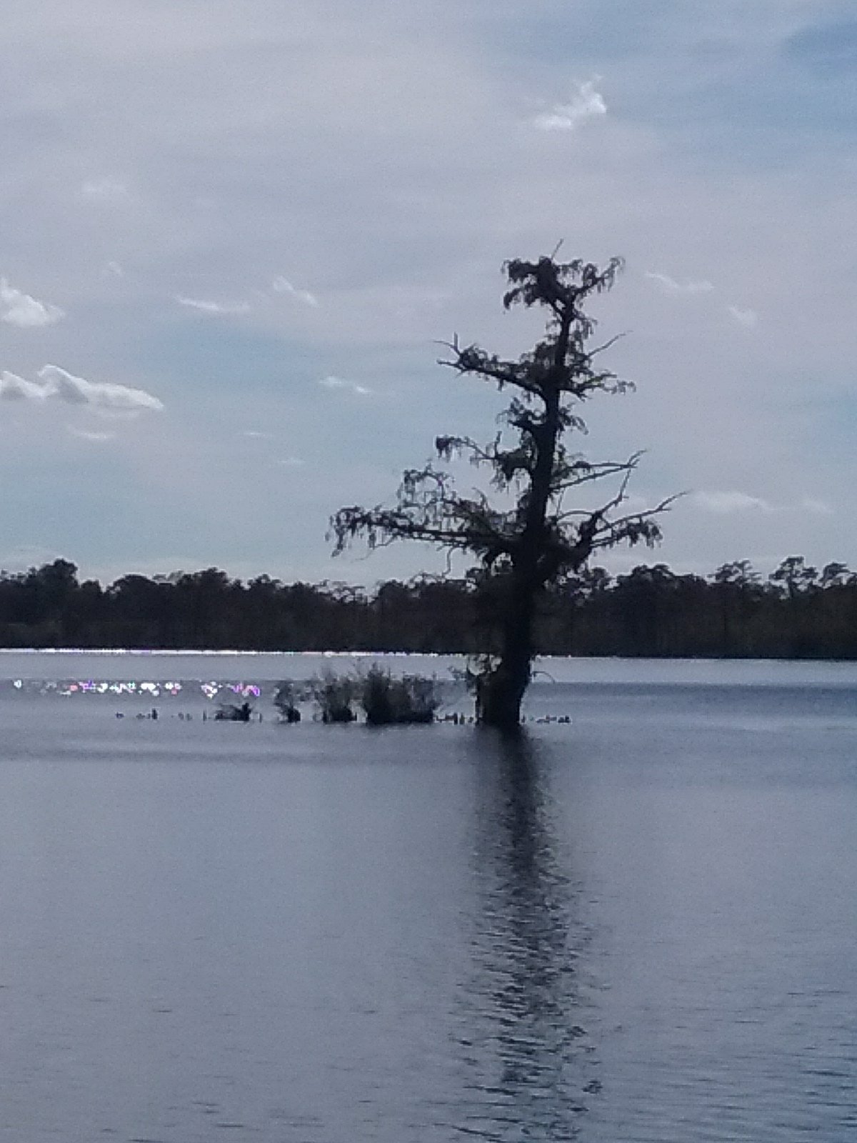
Our exit from Elizabeth City was primarily due to a perfect day to cross the Albemarle Sound to the Alligator River. I’ve been told to avoid the sound if there was any kind of wind/ weather problem. It is shallow and can kick up big waves. We had a few options for a final destination but after consulting the charts, we decided on anchoring in South Lake. One word describes it well: ISOLATION.

We had to negotiate an unmarked entrance. We threaded our way into the lake using my navigational software. No cars, no houses, no planes, no boats. There was no sound other than the whistling of the wind through trees and an occasional gull. We both agreed that this was one of the most remote locations we’ve been in.

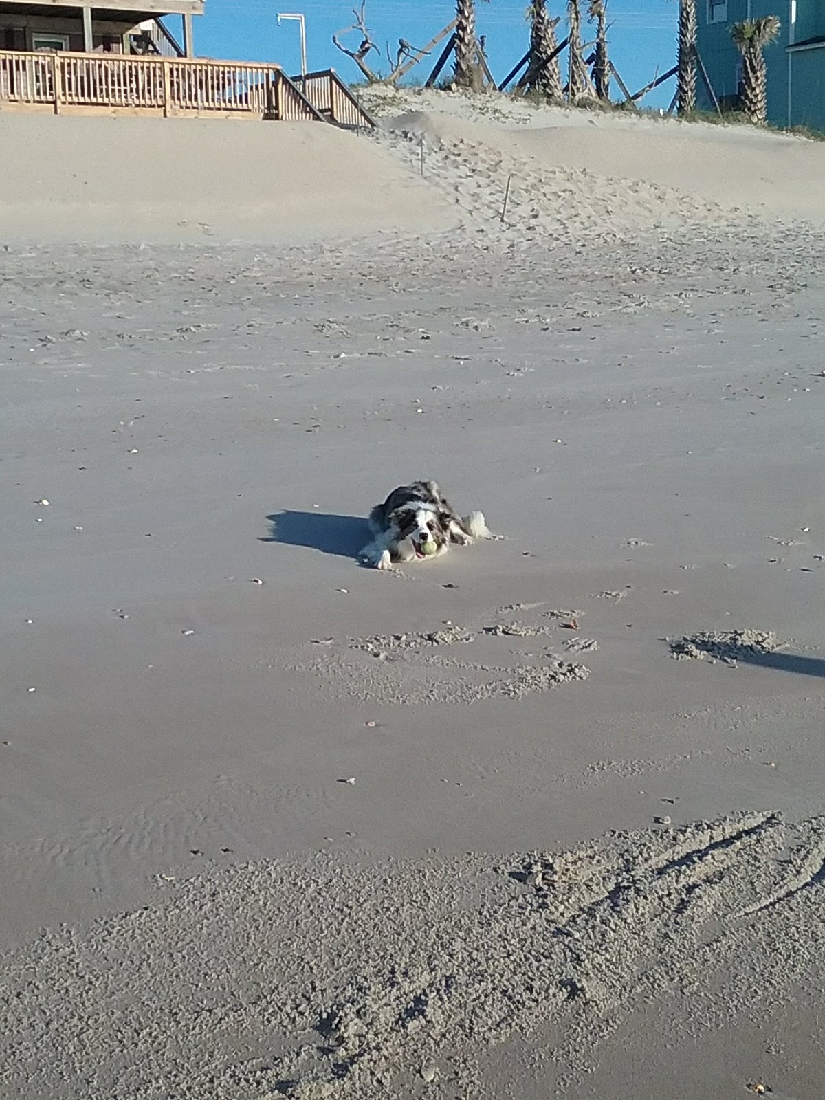
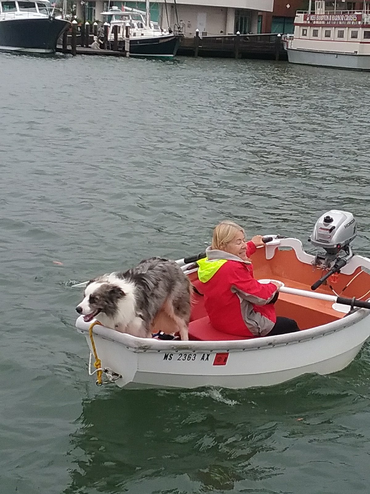
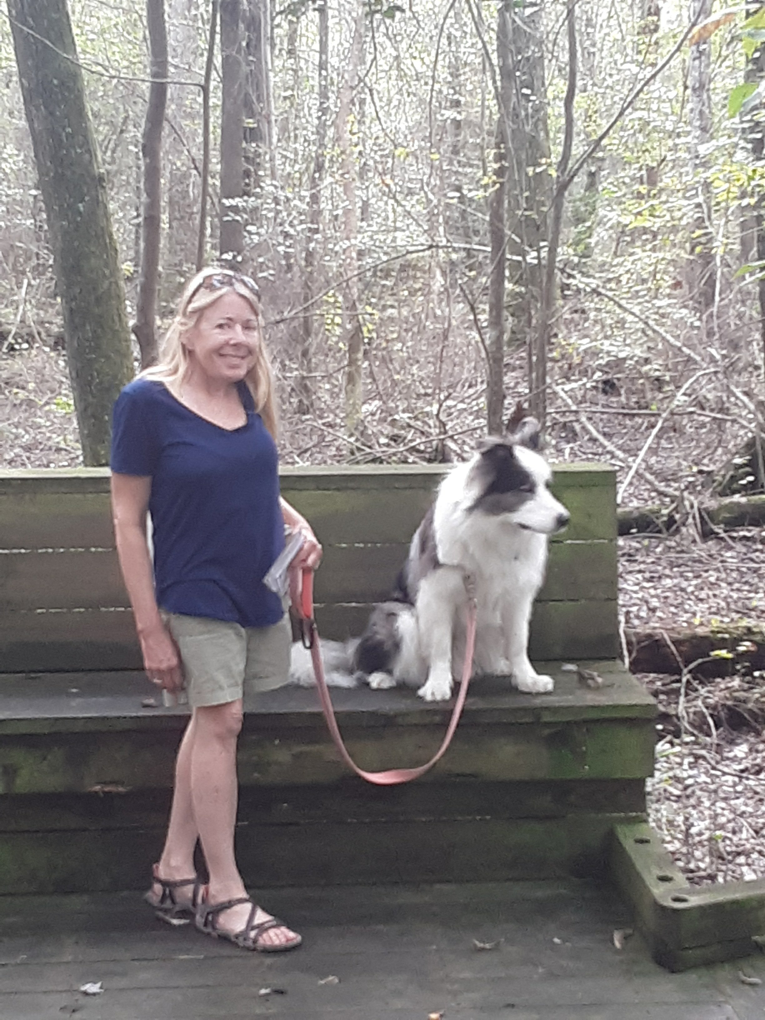
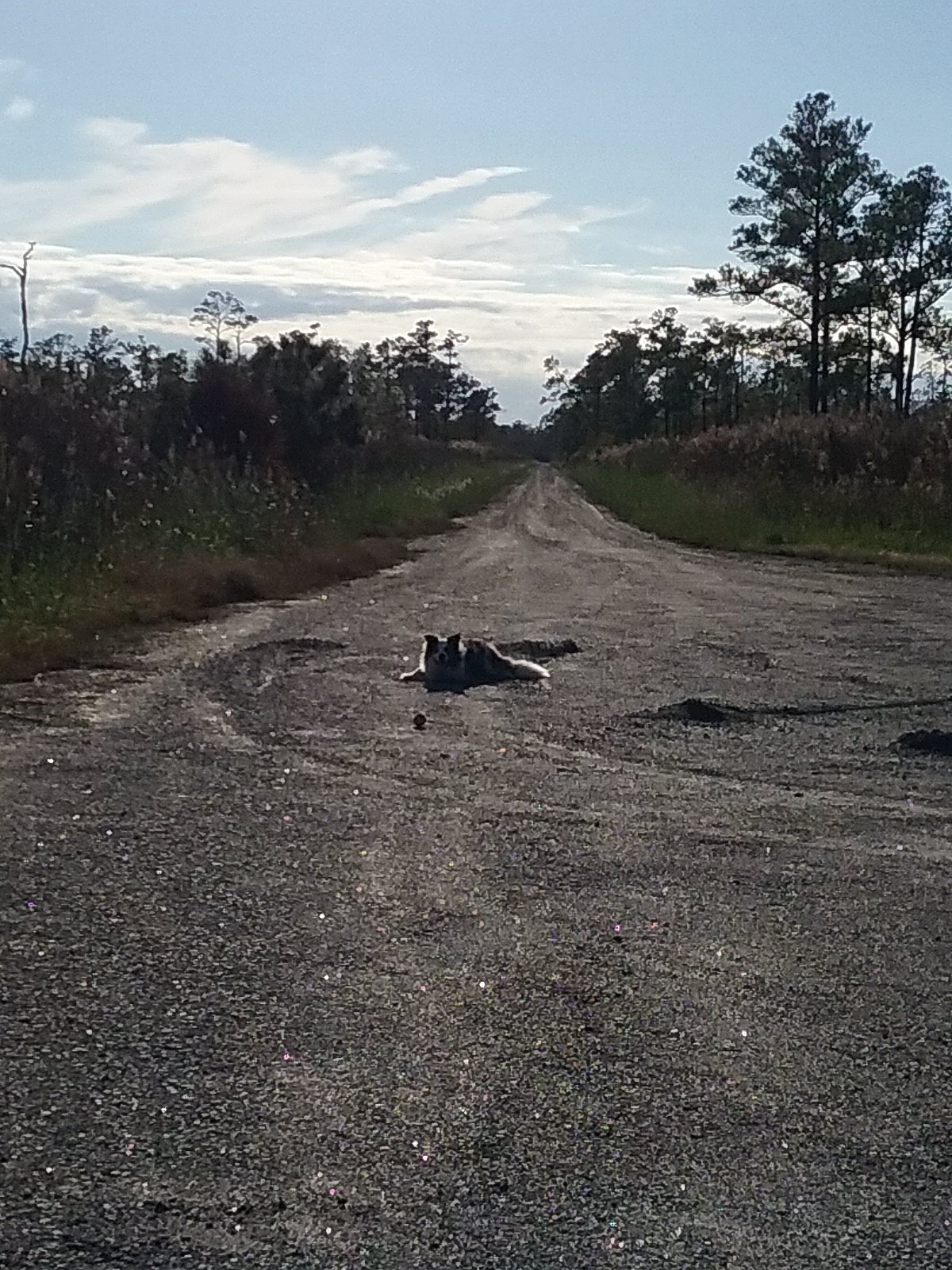
Oliver’s commando run to the shore was interesting. My electronic chart had some weird information about a small canal, with a boat ramp, at the end of a gravel road. What! Nothing is here. Why would there be a canal out in the middle of nowhere? I poked around the shore using my GPS. Eventually I found an opening in the grass, a very narrow canal, a small place to land a boat, and a gravel road. I have no answers. Oliver was very happy with the situation. We played ball. The gravel road was very long and straight. At some point I noticed the sun reflecting off of a vehicle in the distance. It was coming up the gravel road. We hightailed it out of there. I’m not sure why.
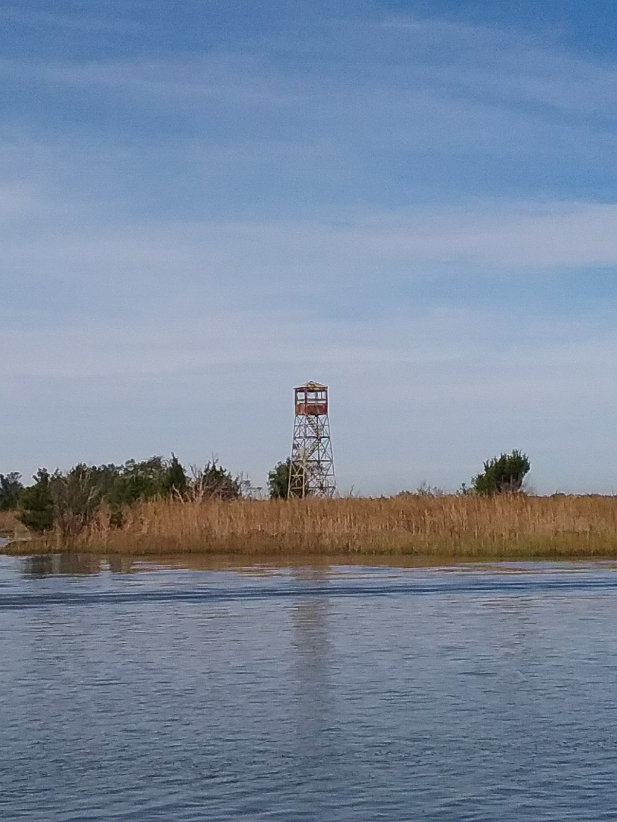
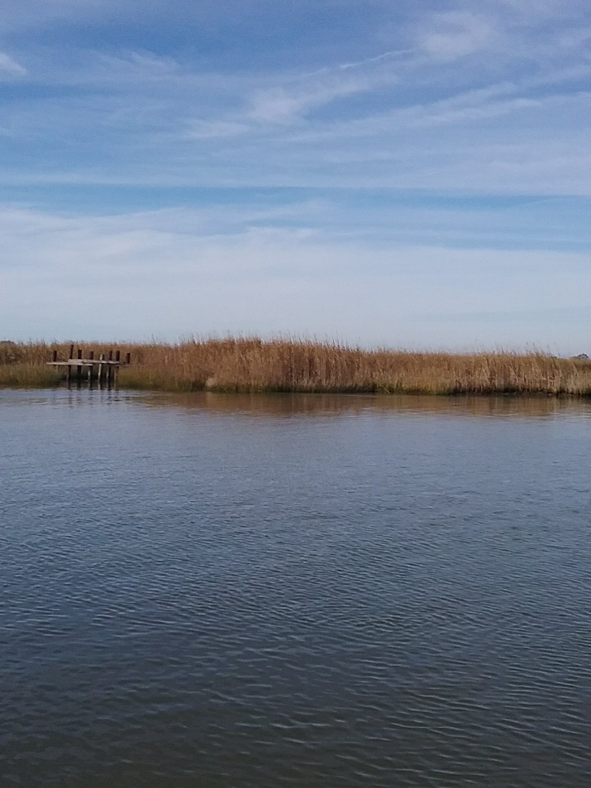
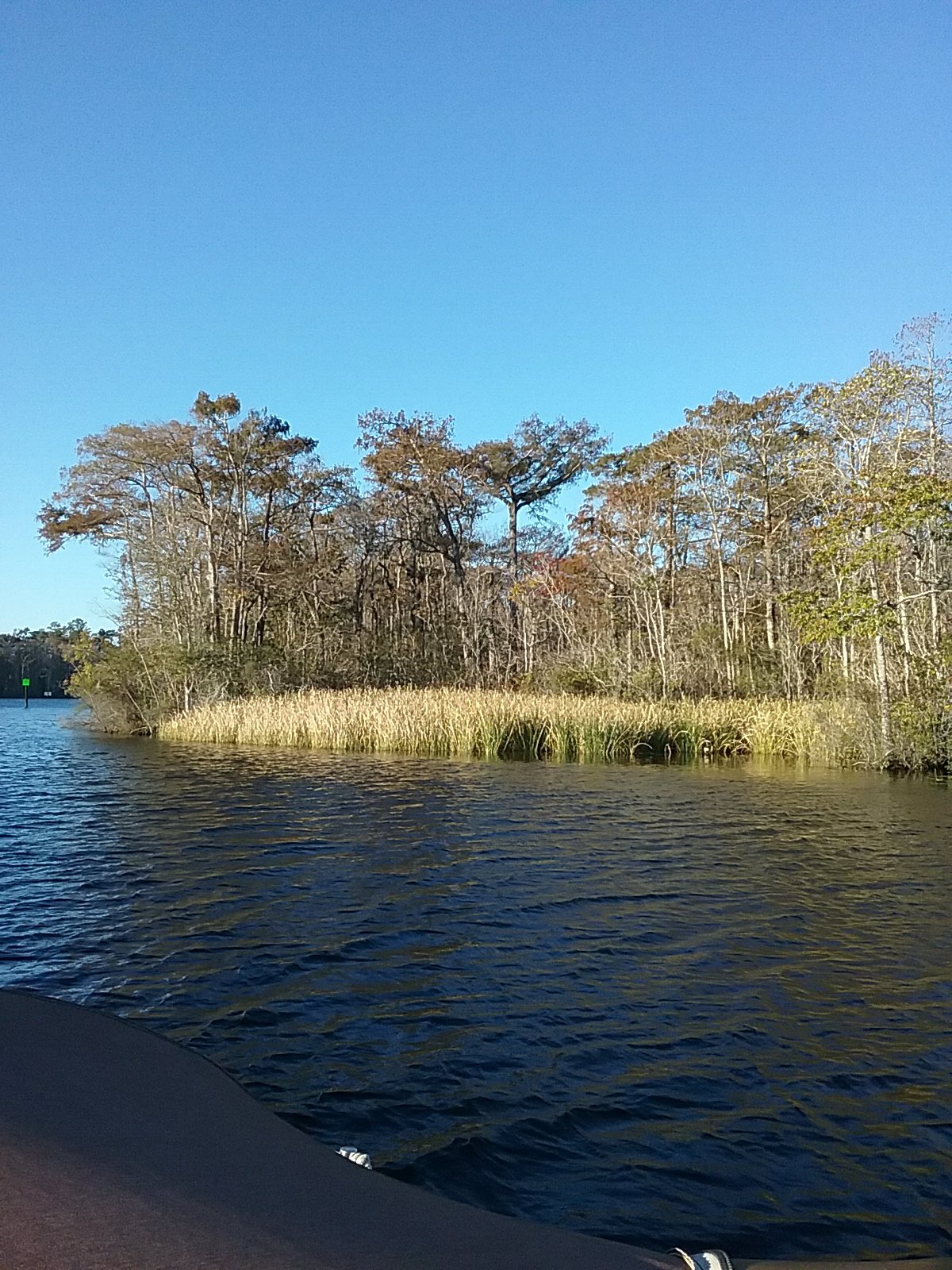
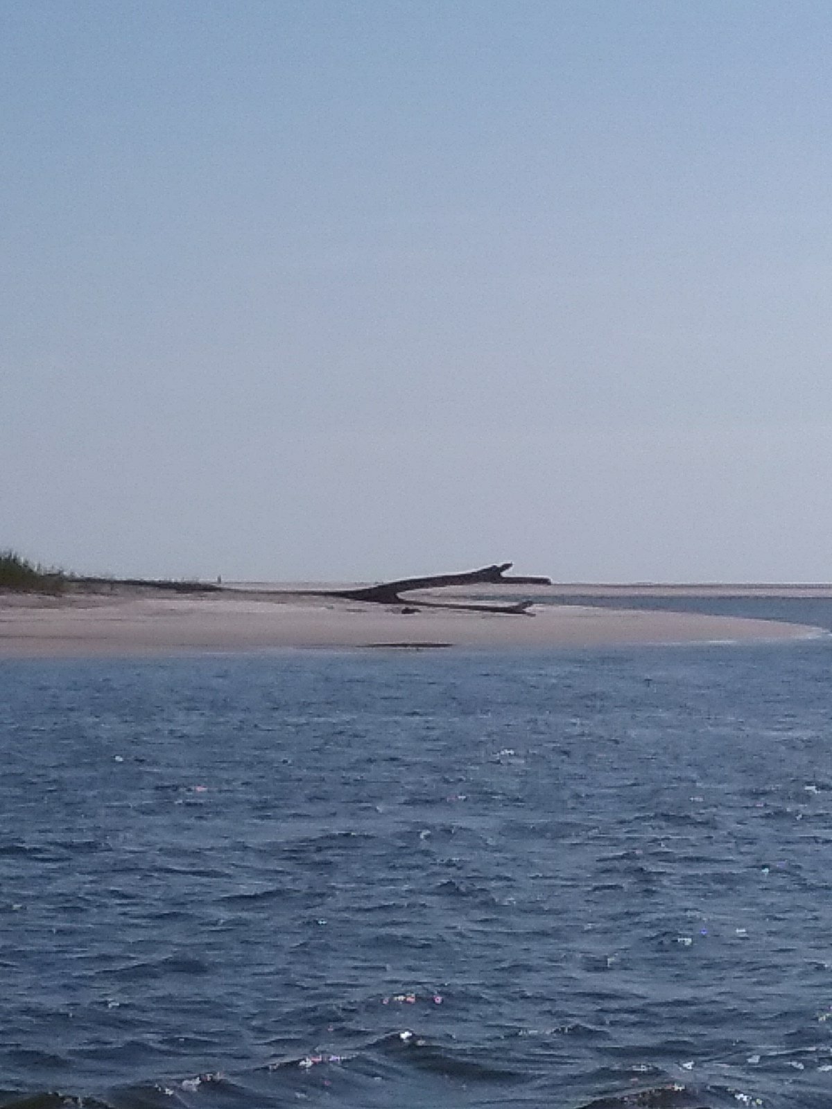
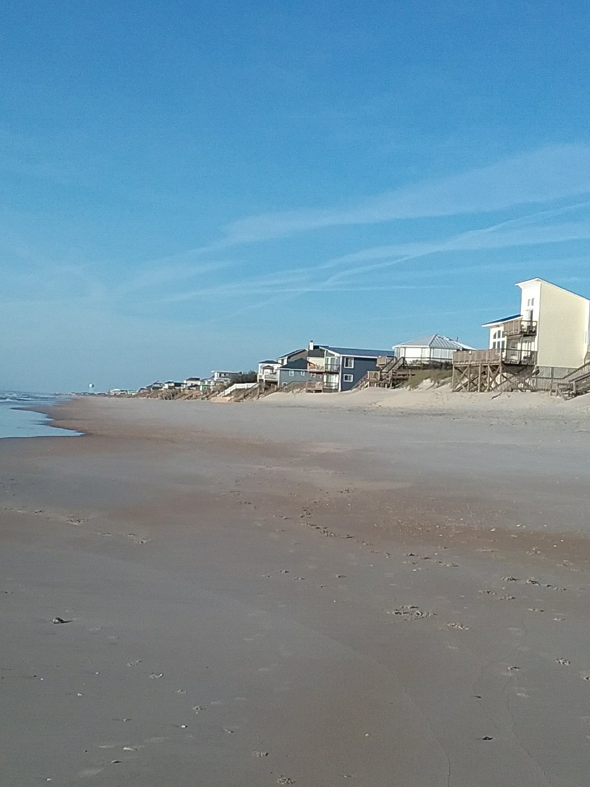
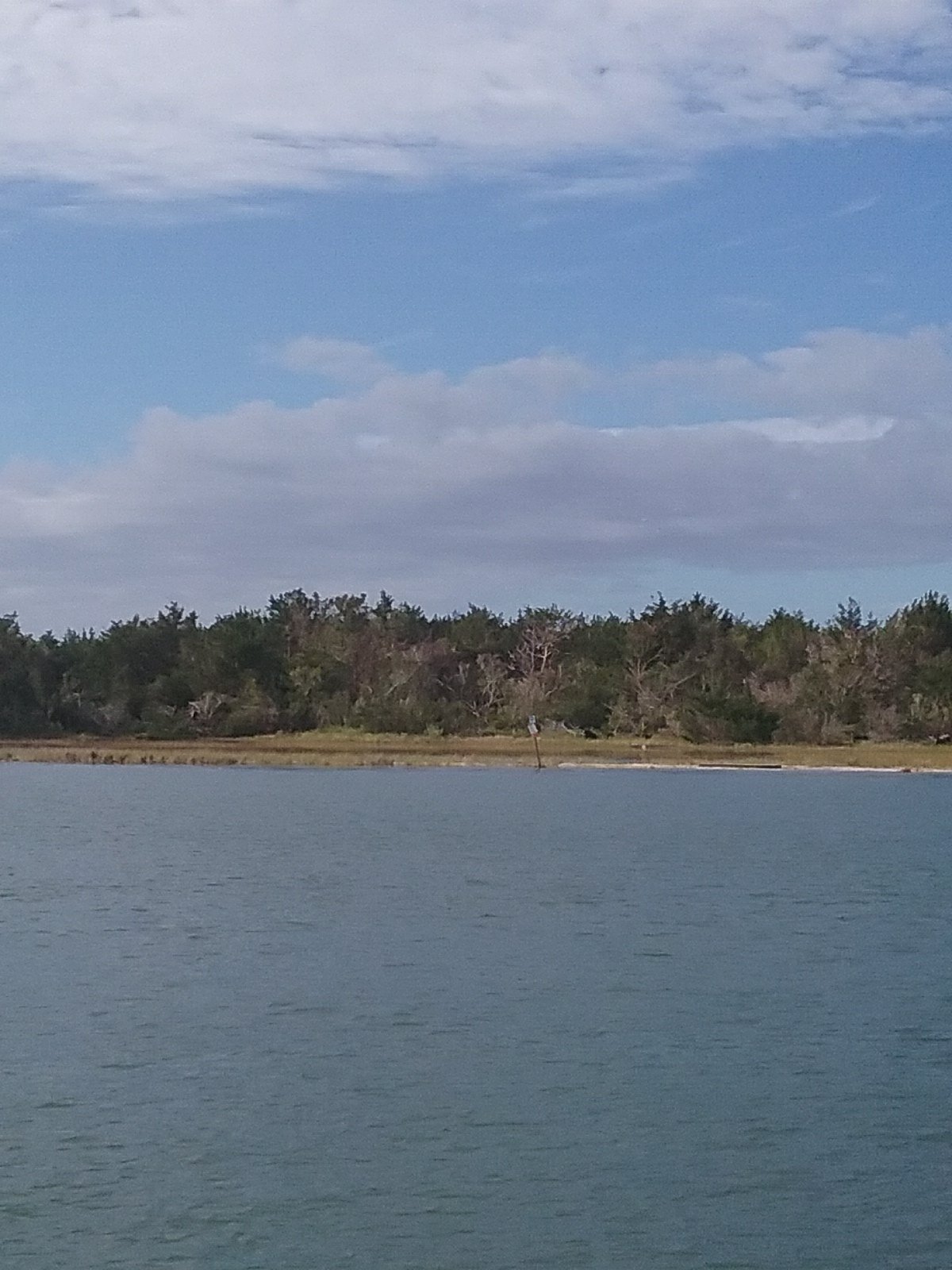
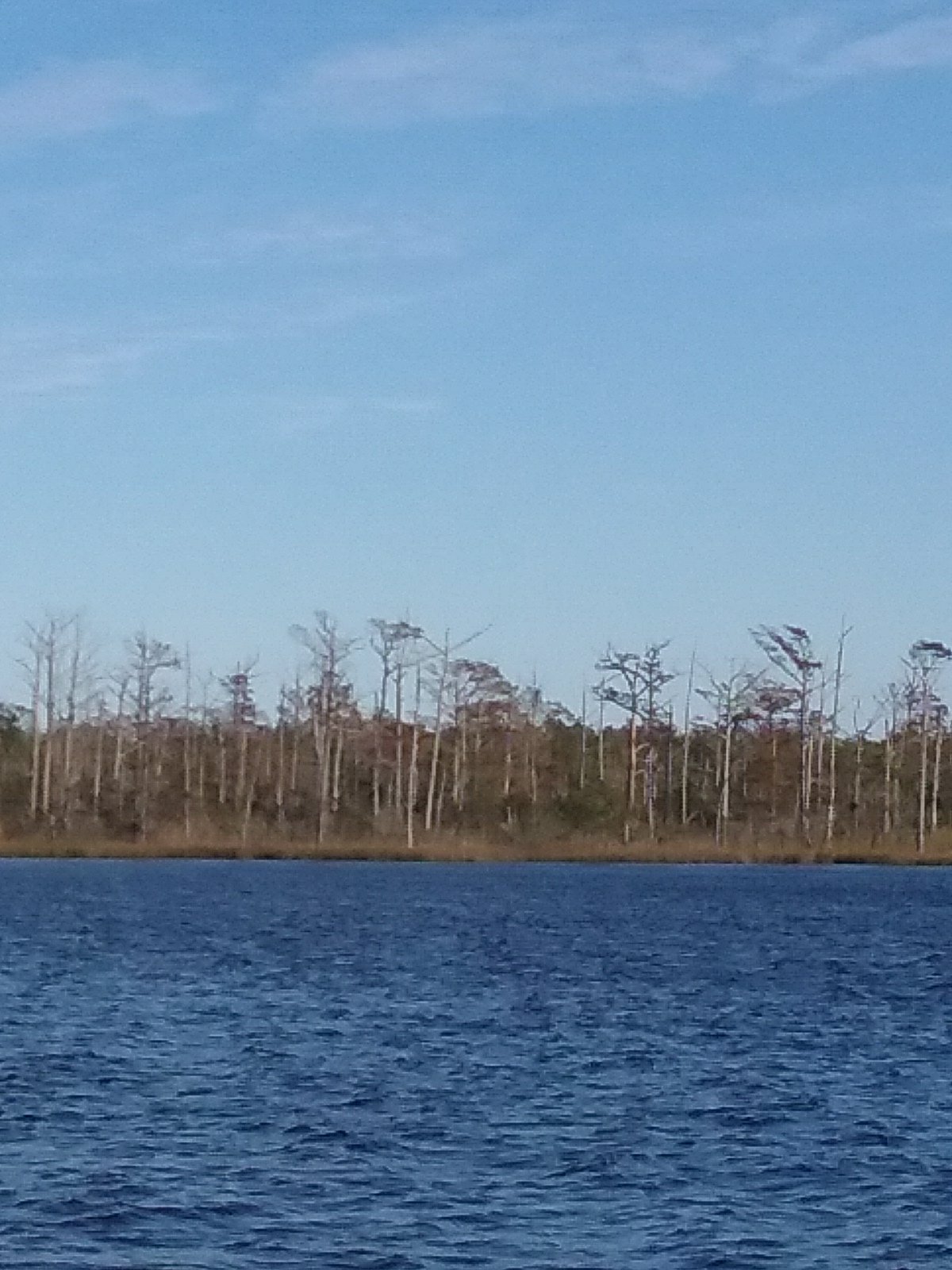
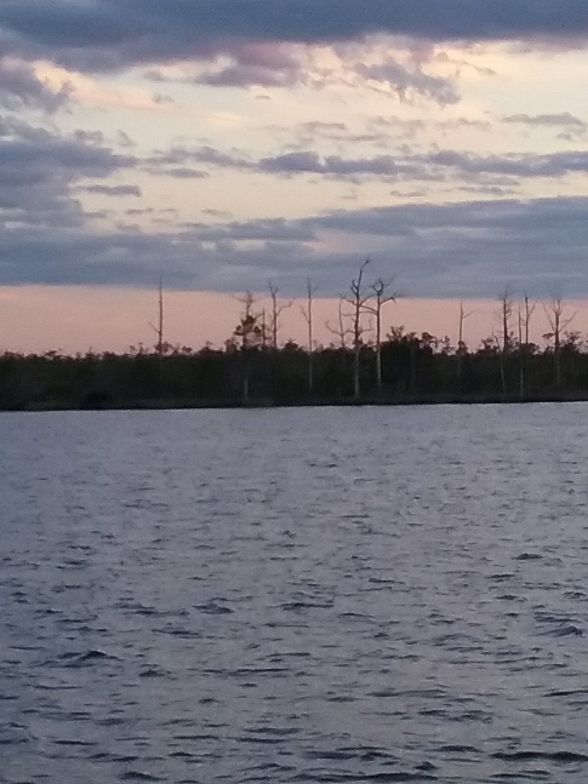
Desolate coastline.

An opening in the grass?

A canal?

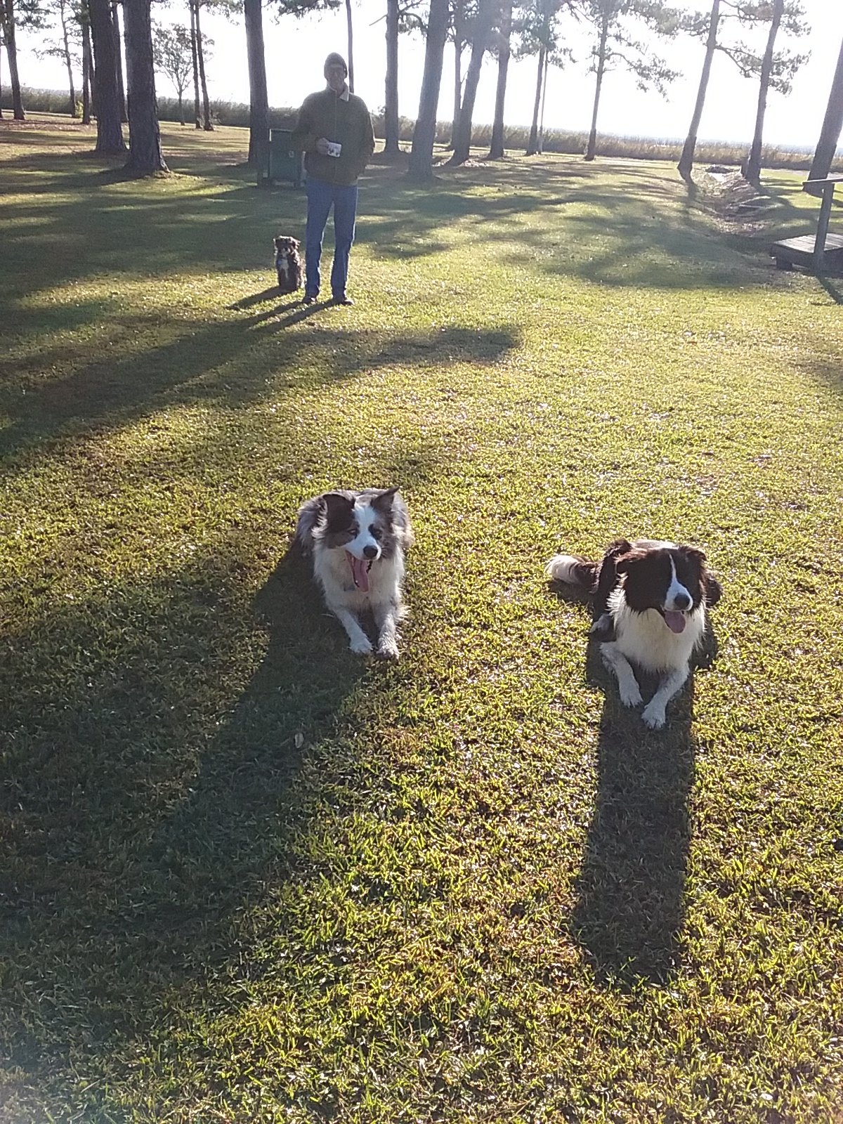
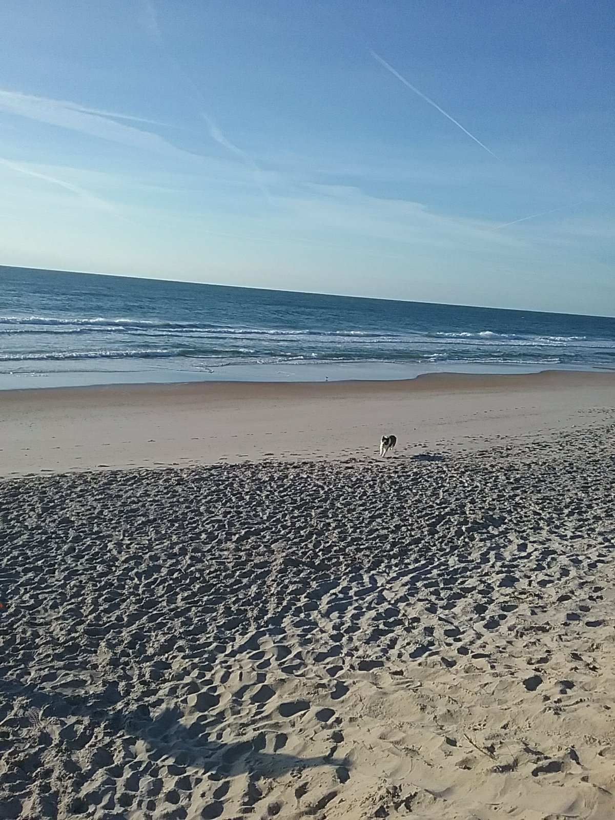
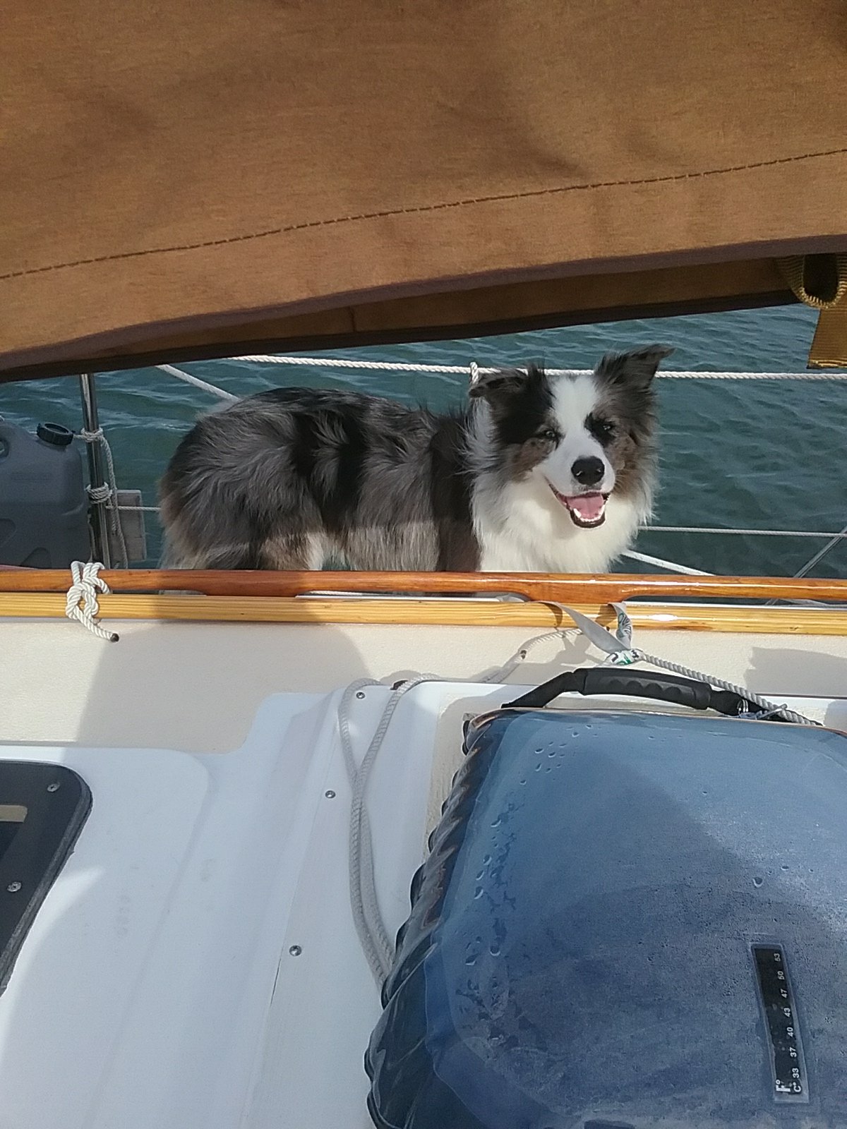
A happy dog on a gravel road.

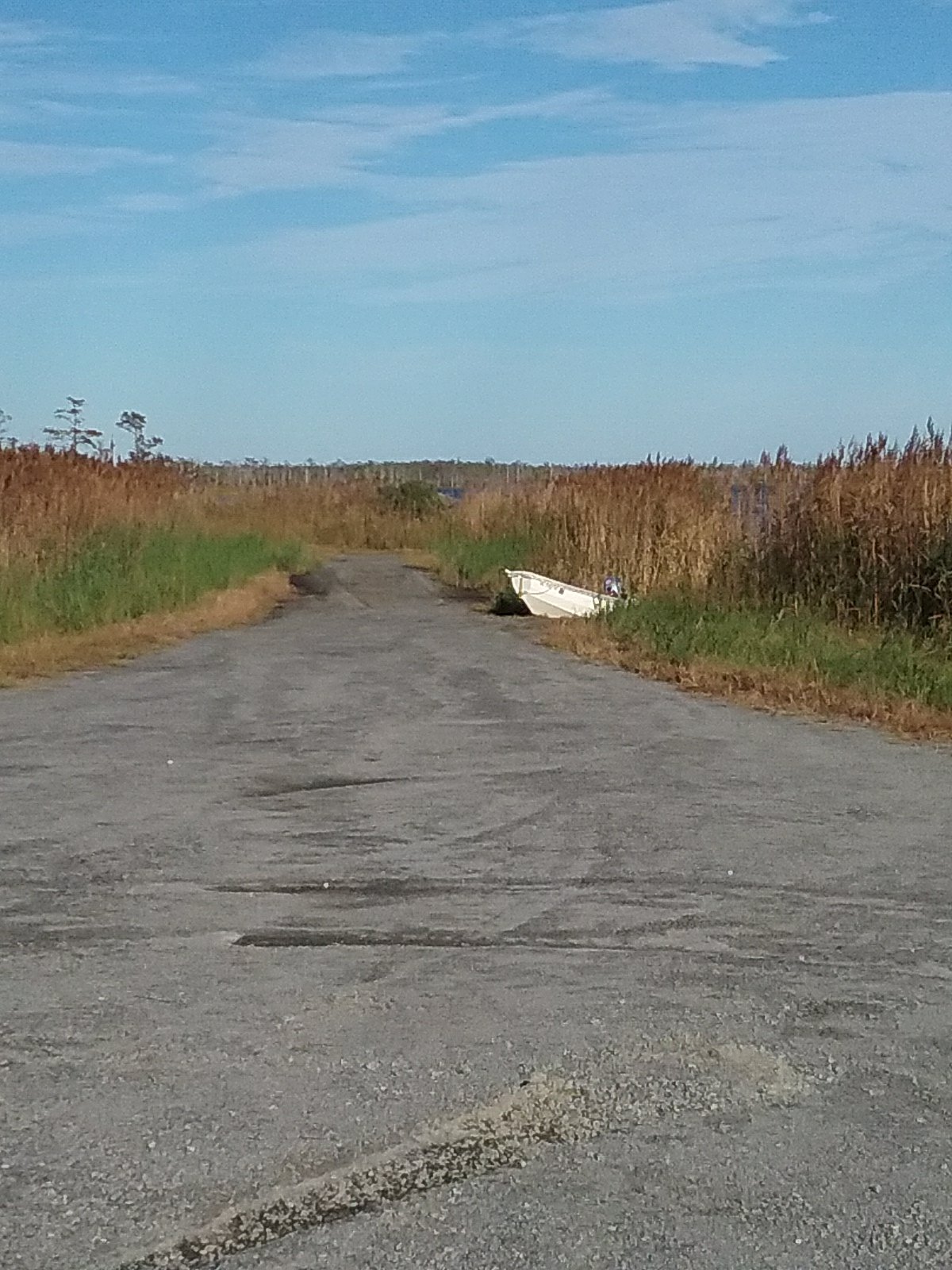
The dinghy (recently dubbed Sputnik) on the road.

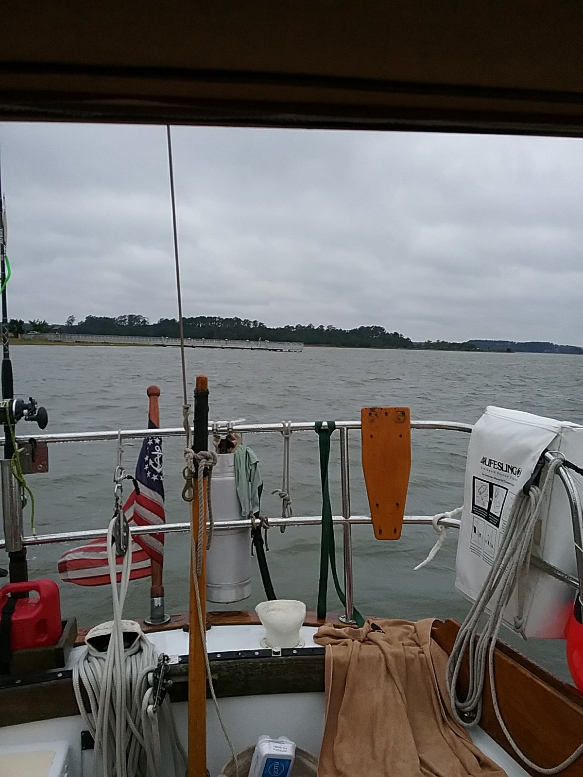
October 25th- The Alligator River to the Pungo River

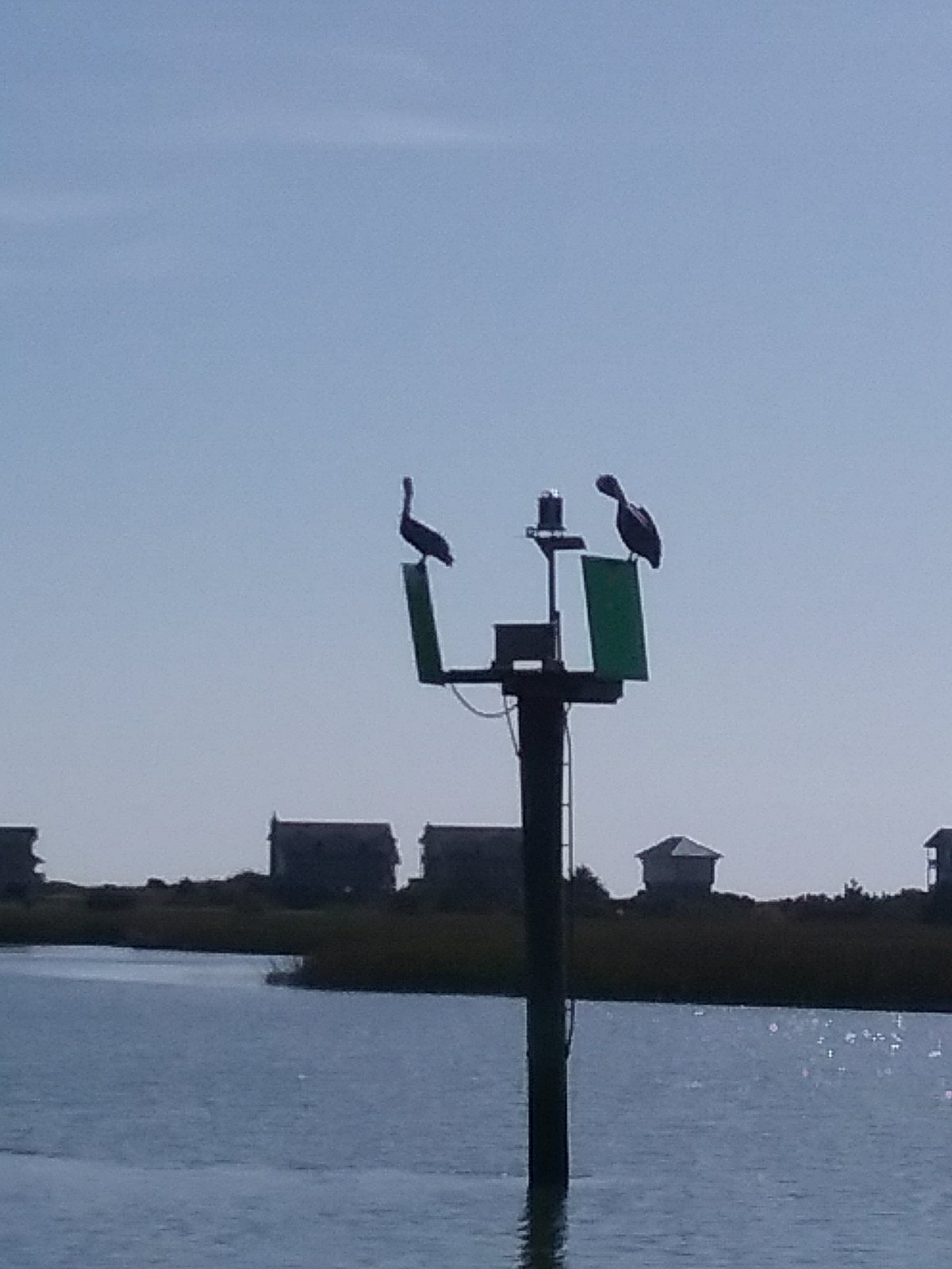
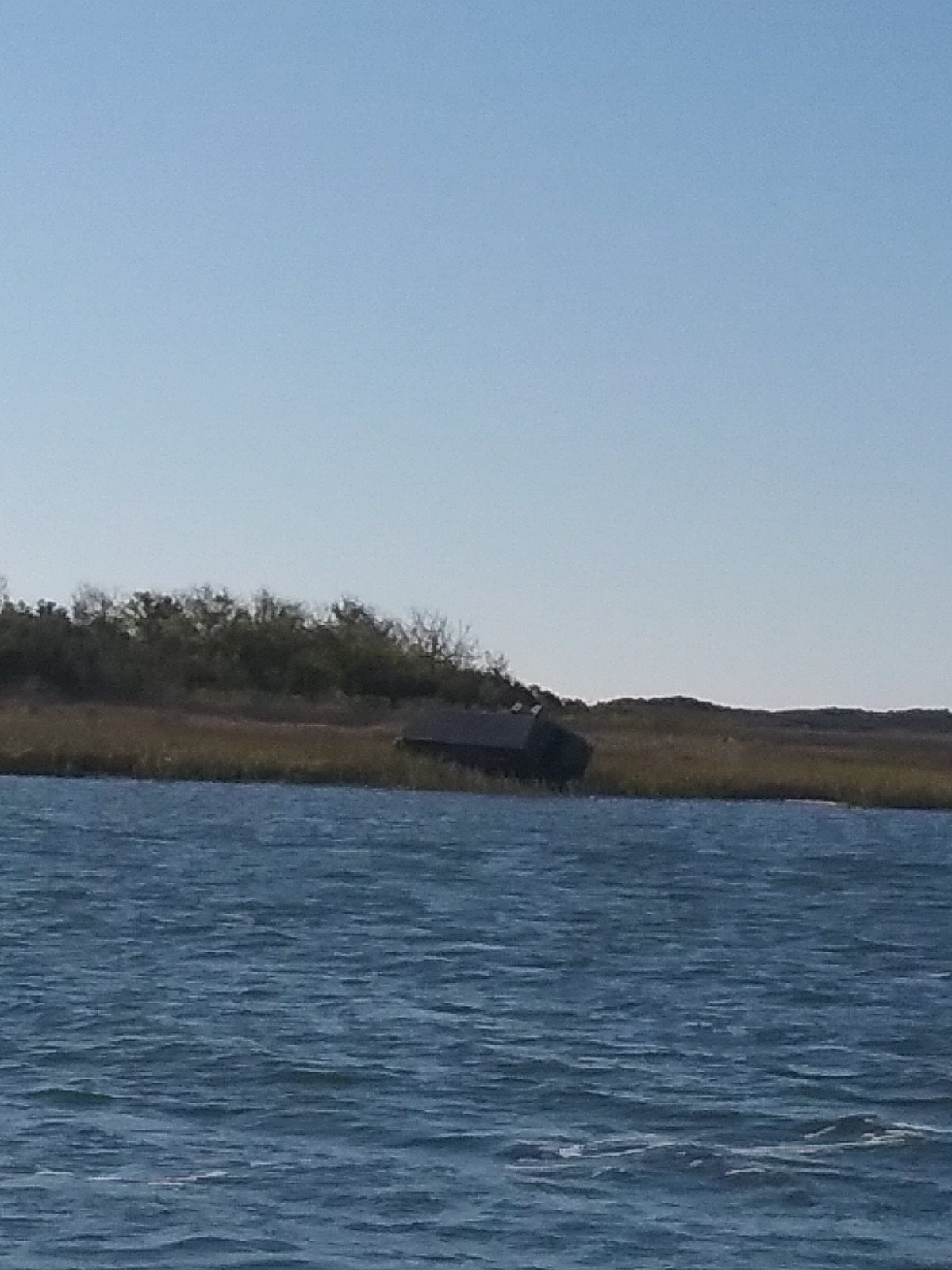
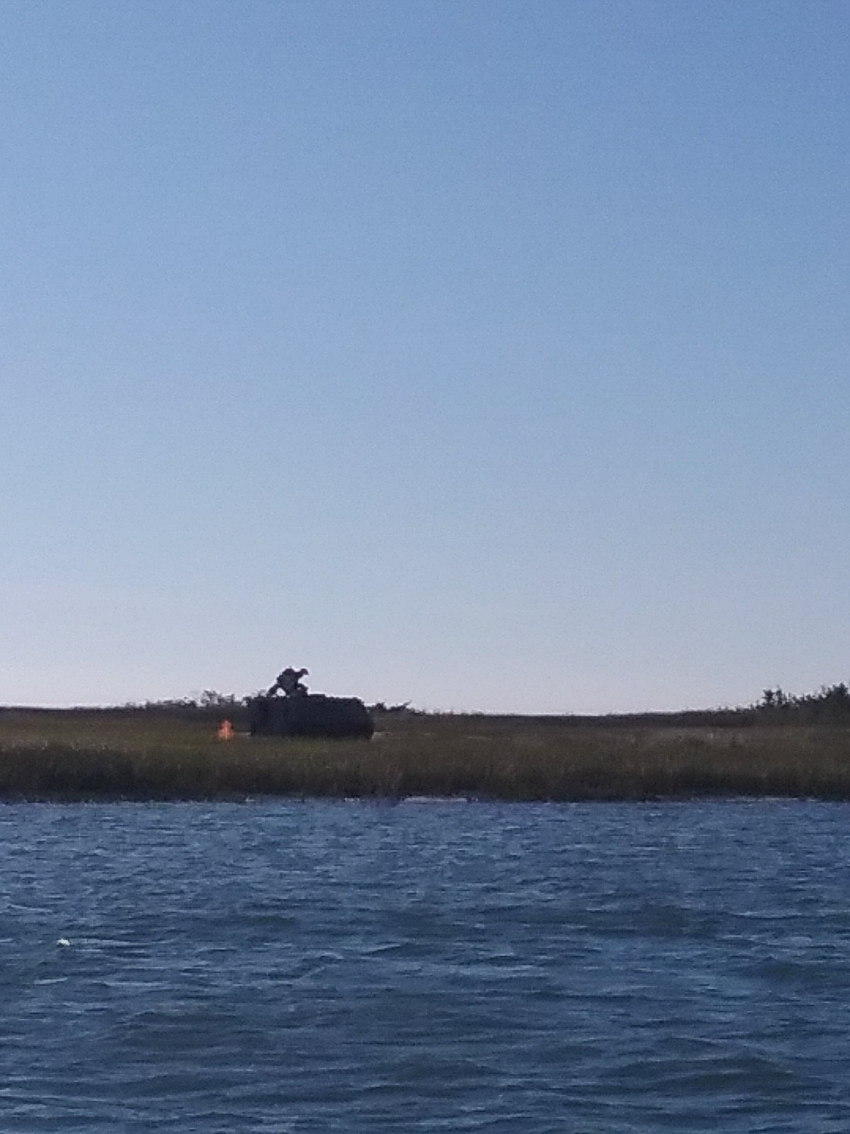
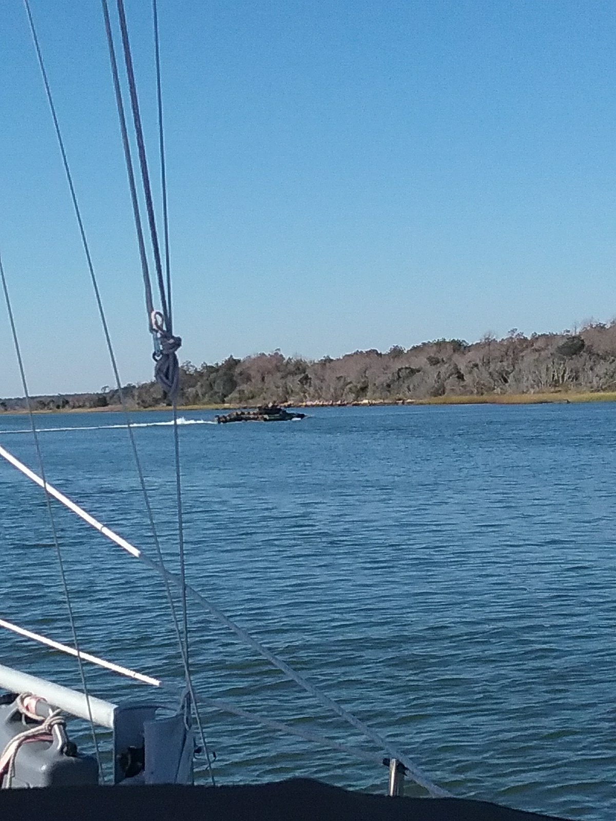
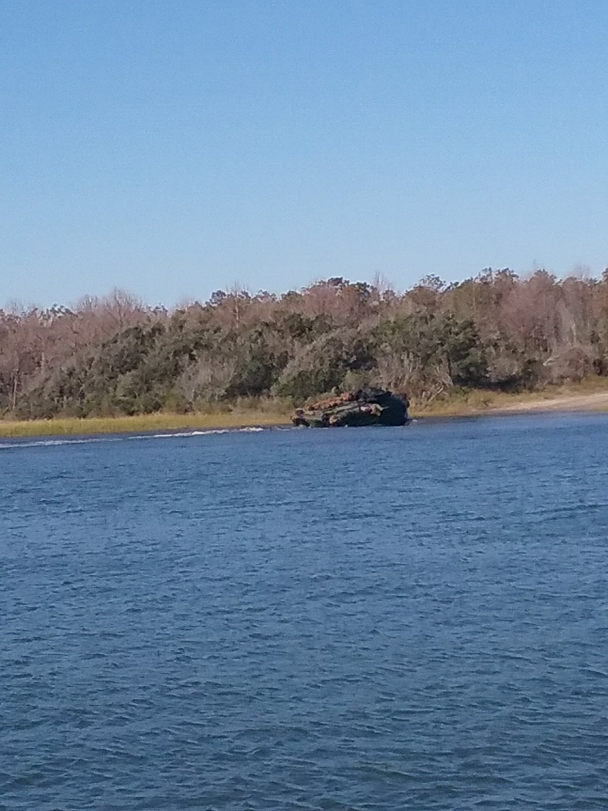
The sun rose. The mosquitoes flew away. We fired up the diesel and went down the Alligator River. During the day we were often passed by other boats so we weren’t completely alone. Having said that, the shore line was mostly swamp jungle and there were no signs of civilization for most of the day. We went under the Alligator River bridge, early in the day, but it was hard to imagine just where that road might go. We saw no Alligators.

About mid day on the Alligator I felt like I was slammed in the head by a wall of sound. I just managed to look up before it happened again. Ollie, at the time sleeping on deck, dove for cover inside Catalpa. Fighter Jets. The first few seemed to be chasing each other. They would shoot down the river and then soar straight up into the clouds. I don’t know if we saw 20 jets, or if it was the same few zooming around in circles. They are extremely fast (especially when you’re traveling at 5 knots). Lynne tried to photograph them but they were just too fast for auto-focus. My guess is, due to the lack of population, the Alligator River is a good place to practice low flying maneuvers. It was exciting. We could have used some hearing protection though.

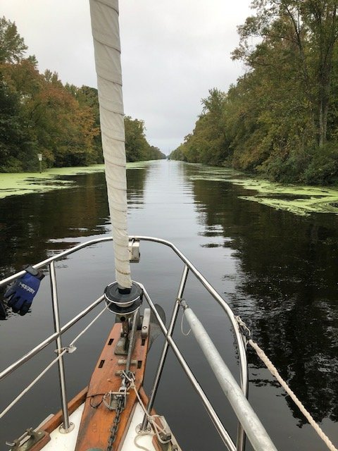
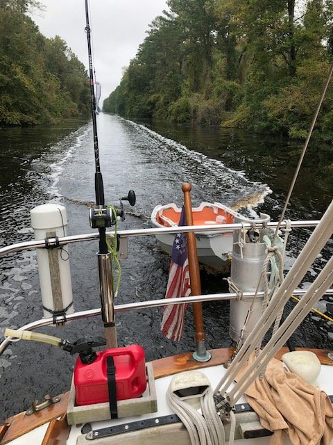
We were going to stop but since we were making good time we decided to push on down the Alligator – Pungo canal. Much of the canal is forested. As we got Closer to the Pungo River there were a few highway bridges and homes. Back to civilization.

Alligator – Pungo canal

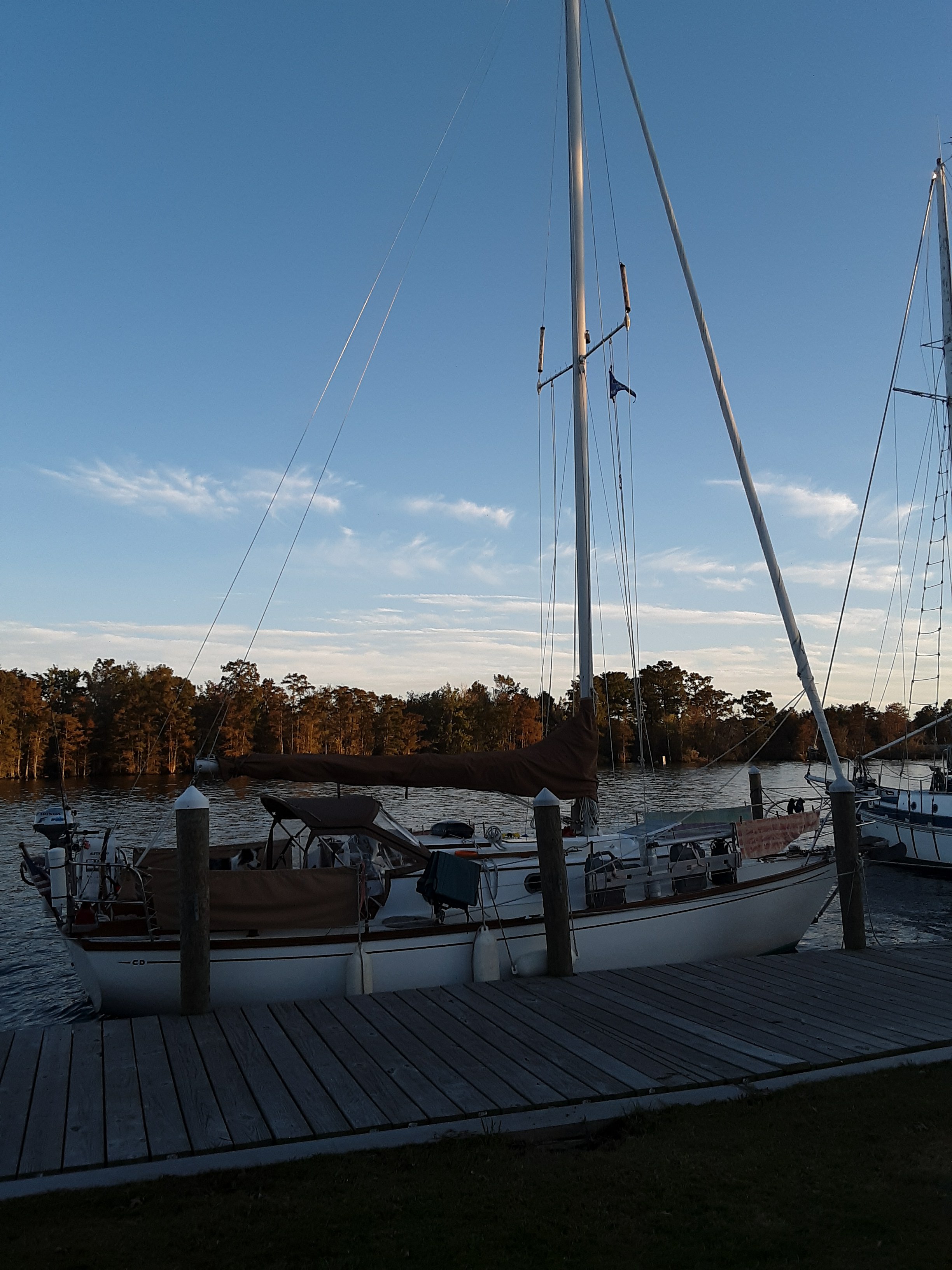
We got to the end of the canal and anchored in the Pungo River for the night.

October 26th- Pungo River anchorage to Belhaven, NC

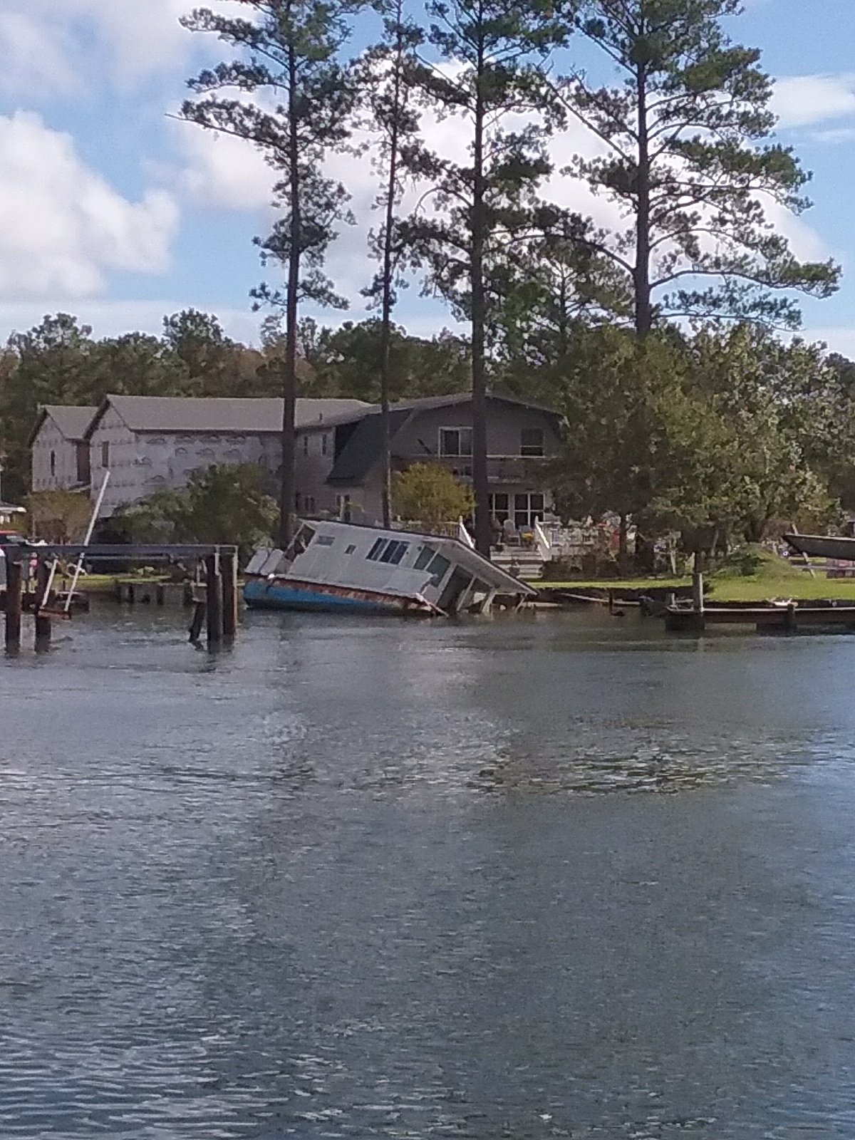
When anchoring last night I noticed an odd tapping sound coming from the engine/ prop shaft area. This was only when the engine was spinning at low RPMs. Odd tapping sounds are never a good thing. In the morning I had maintenance on my mind. To get at the back of the engine, you have to empty out our large cockpit lockers. This is analogous to emptying the garage to see the car. Fenders, dock lines, spare anchor, and parts all have to be loaded up on deck. I then have to shimmy down into the locker and maneuver myself upside down. I used to wonder if I’d ever make it out again. I’m used to it now (and I’ve lost weight). What could have been a big problem was only a small one. Just something loose. I tightened the offending part down. I also tightened everything else I could reach. We were off anchor by 10:00 and ready to move on.

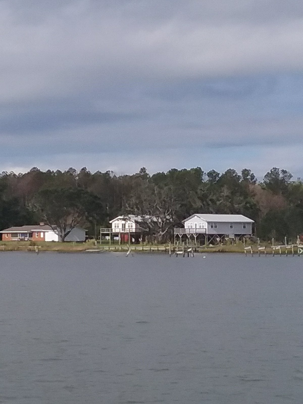
Belhaven wasn’t originally on our itinerary but I was told it was a nice town and they like cruisers. We’re expecting weather tomorrow. We’re also low on diesel and ice. It’s warm. We figure we’ll stay a day or so.

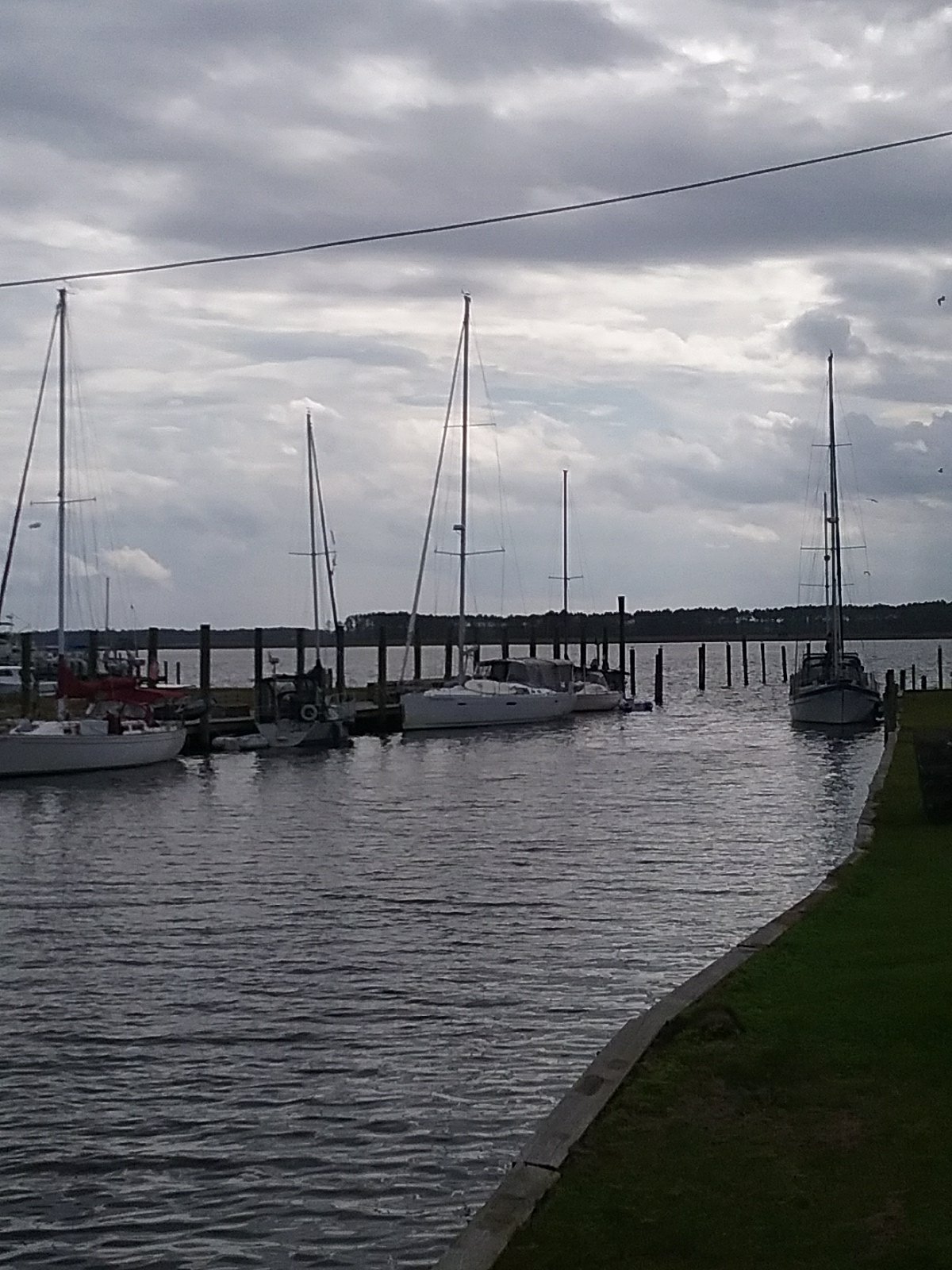
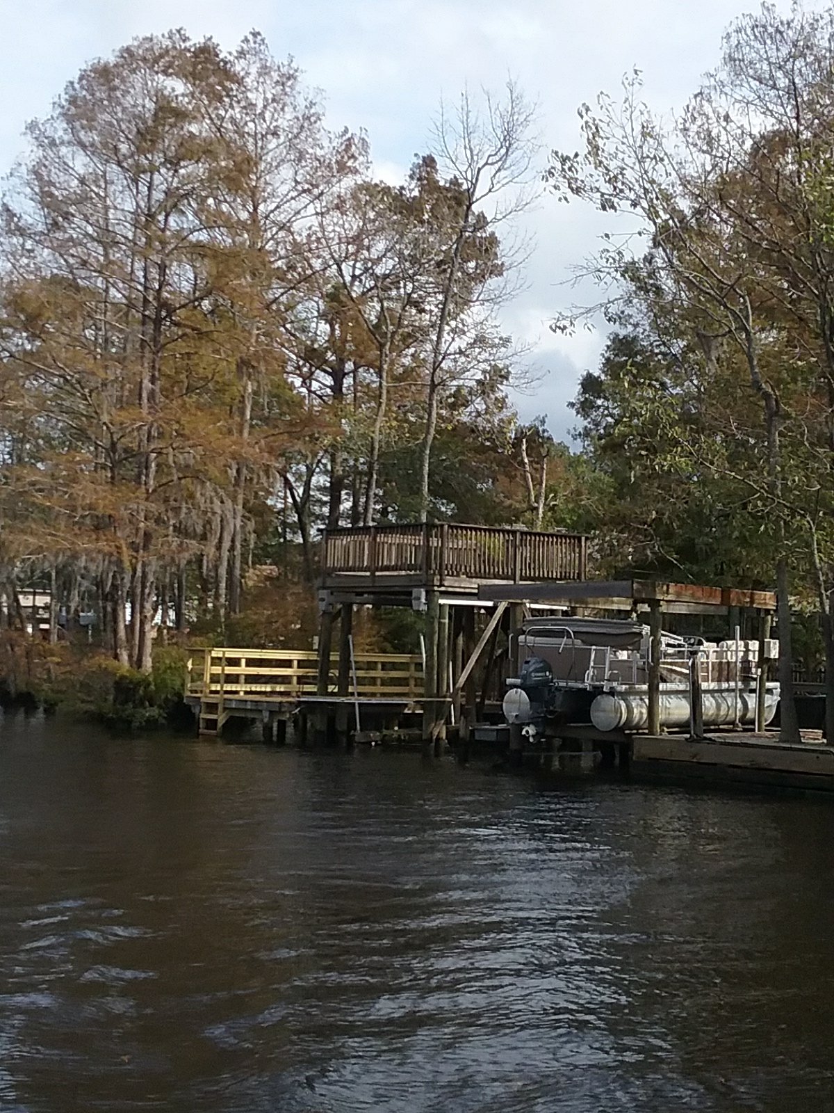
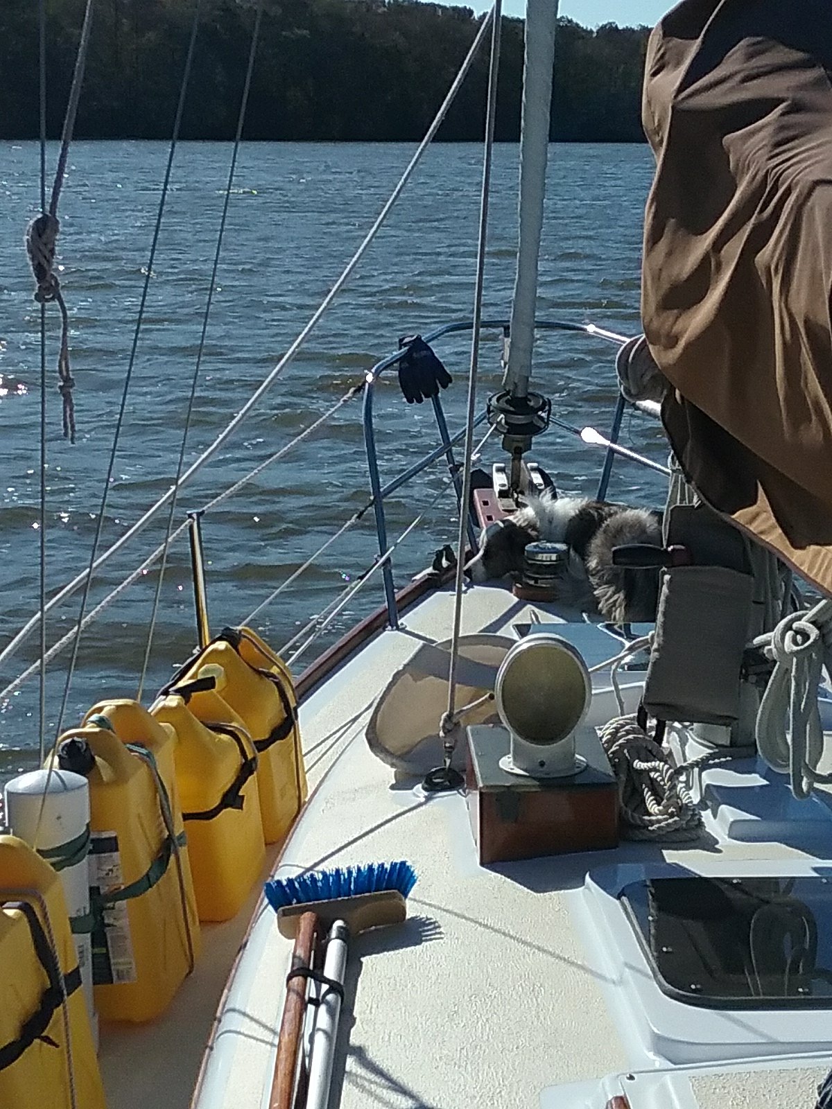
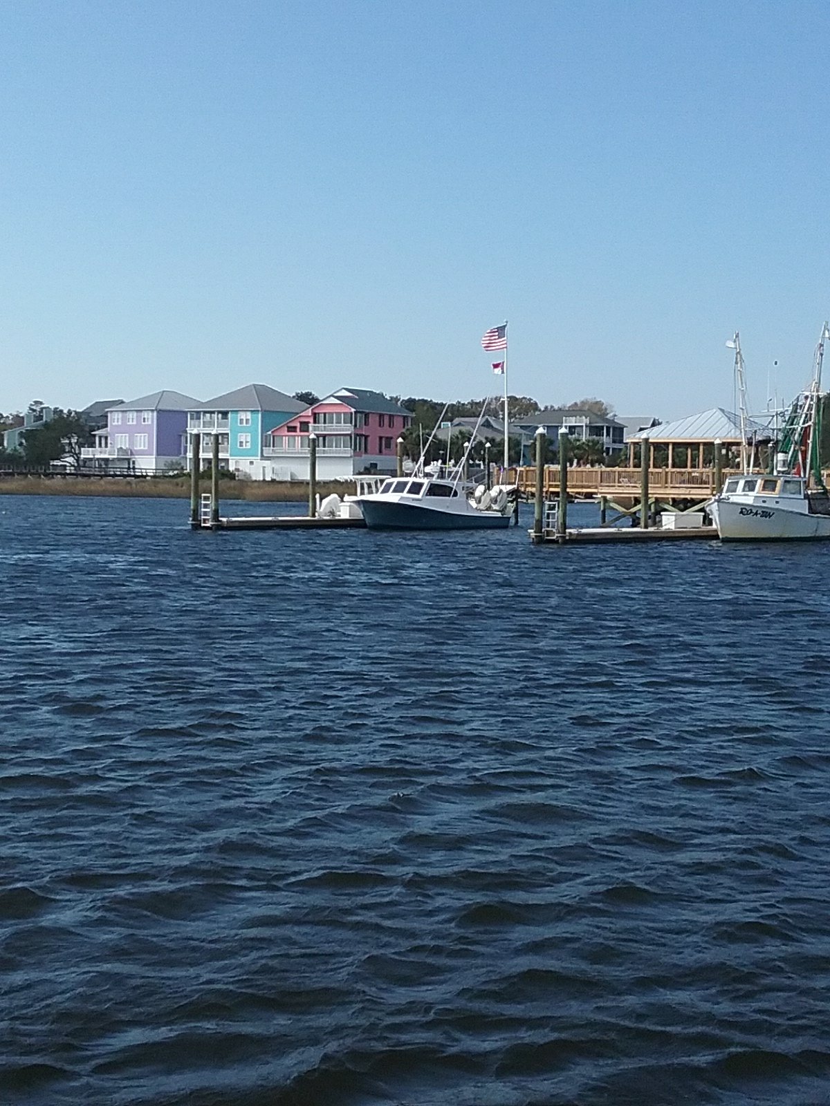
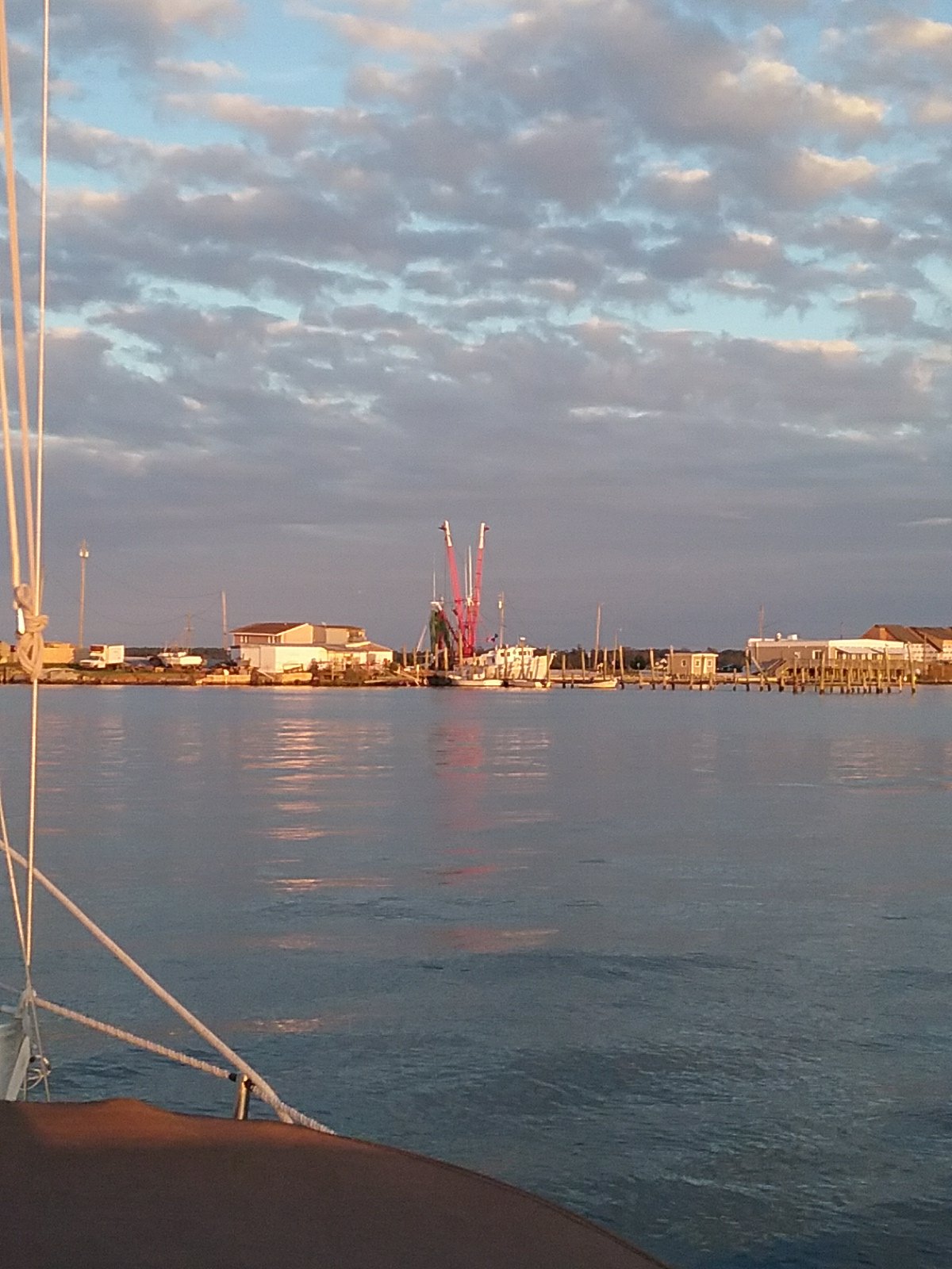
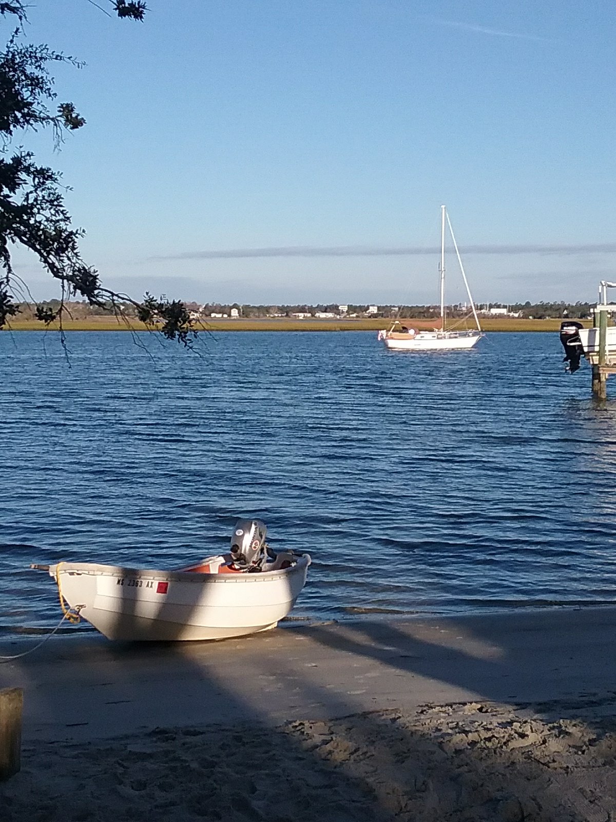
Upon entering Pantego Creek we found the appropriately named River Forest Marina. They helped us tie up to their big pier and we filled up everything. 4 dollars for 40lbs of ice. Great price. We then anchored further up the creek near the center of town.

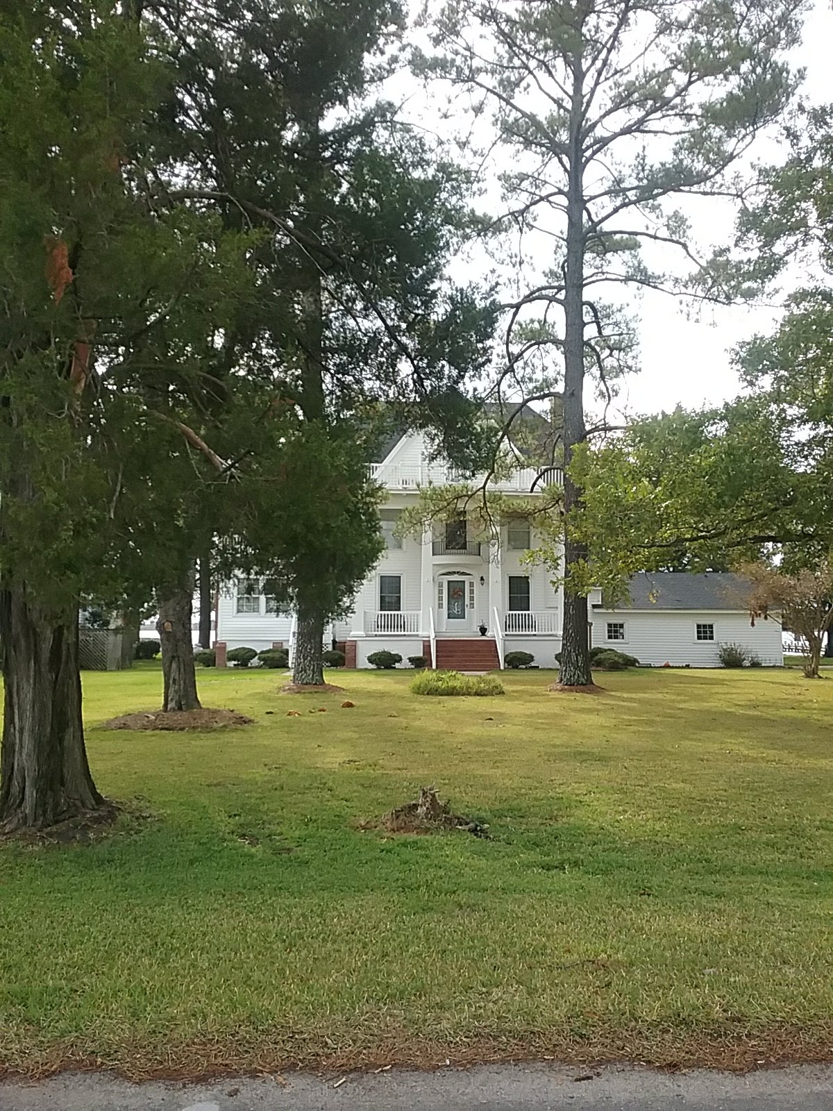
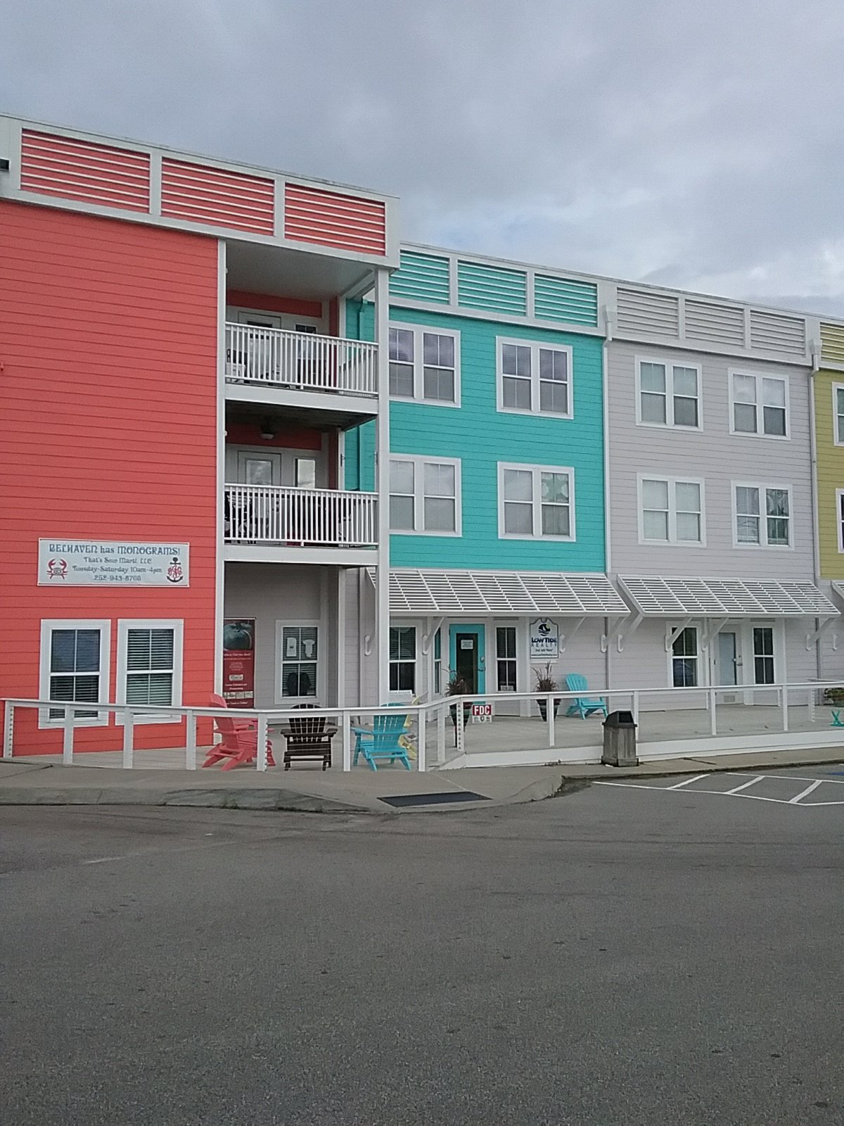
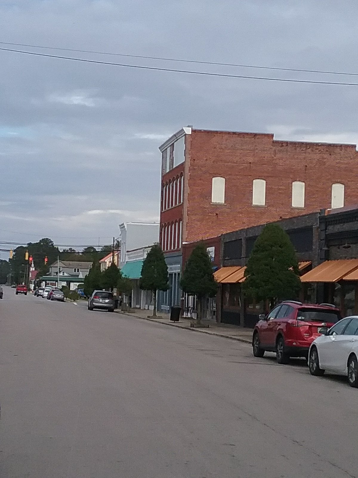
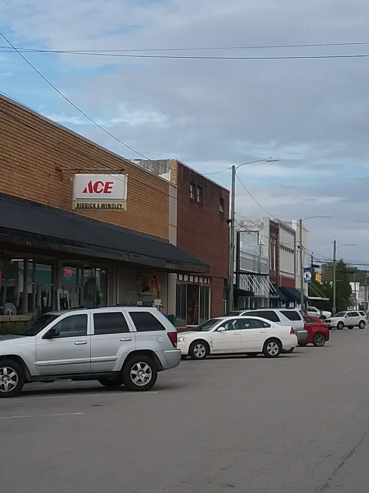
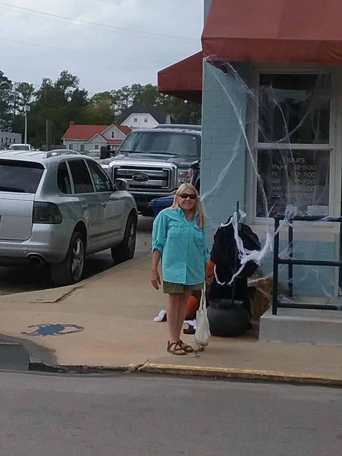
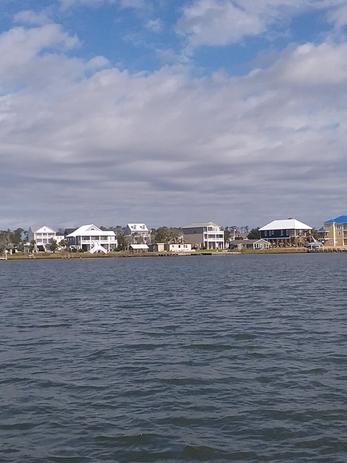
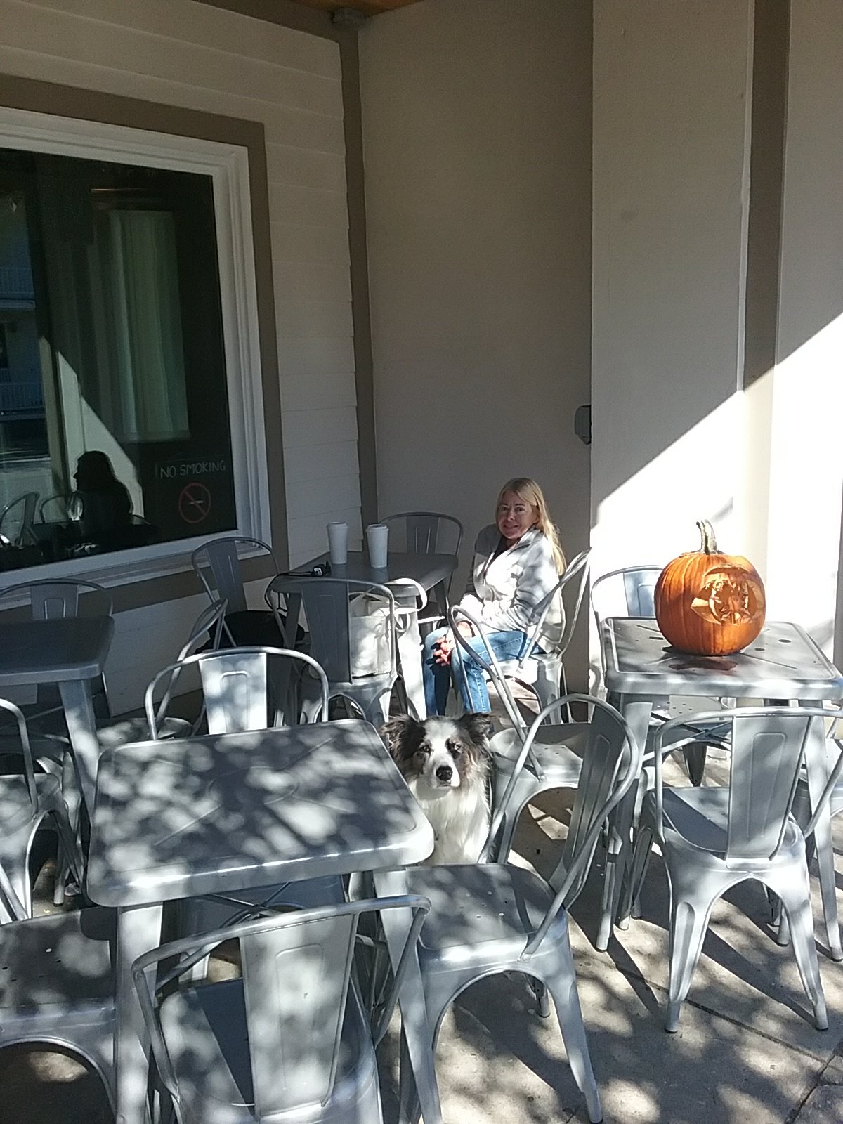
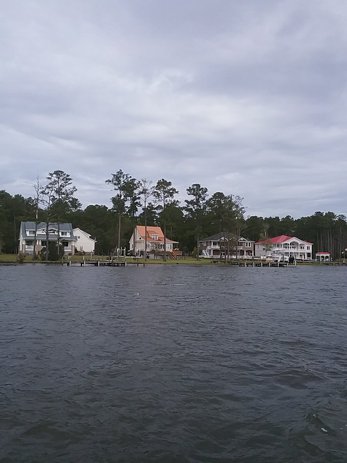
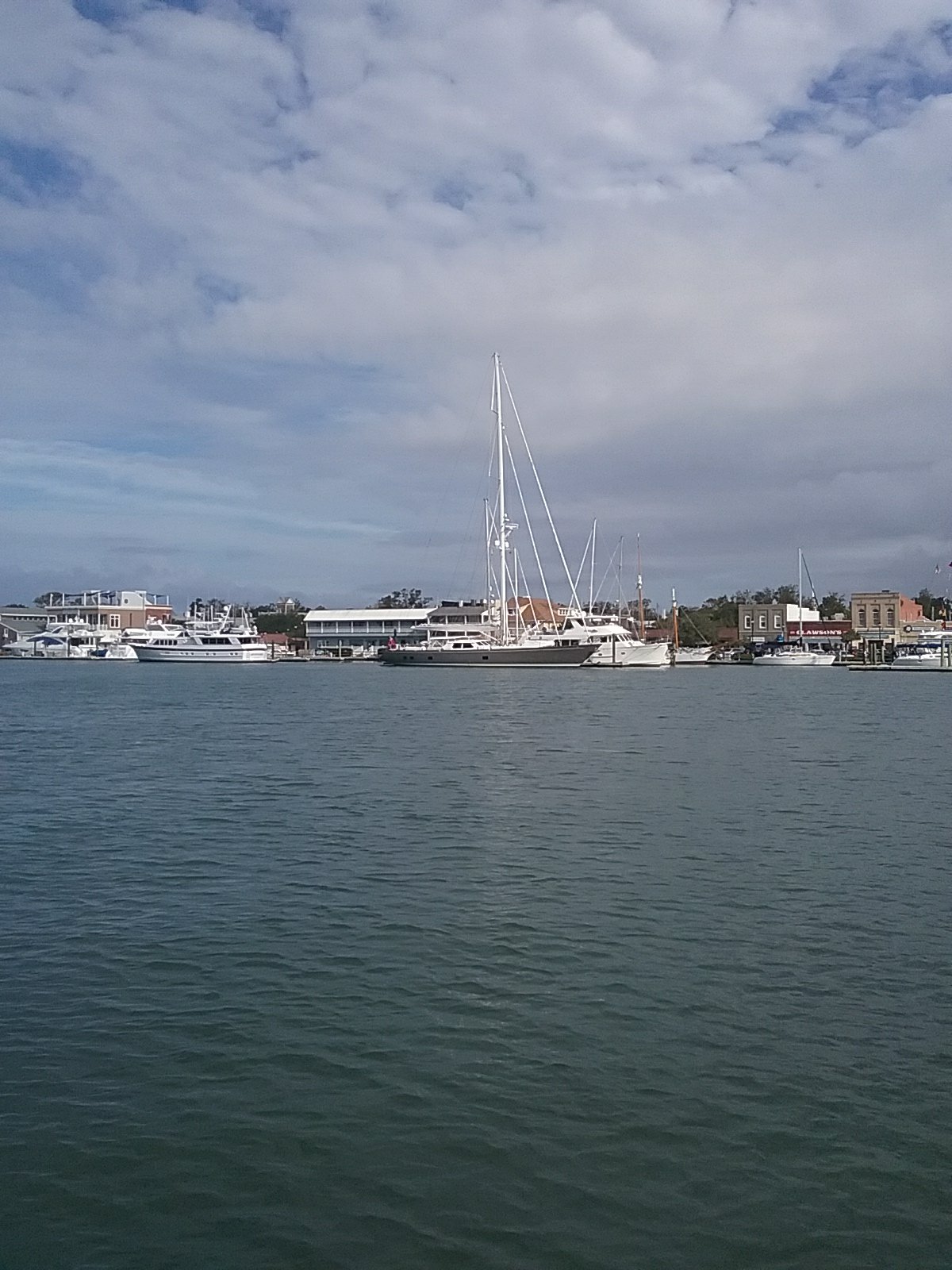
Belhaven is a nice, sleepy, little town. Much of it is closed on the weekend. People are hospitable. While standing outside of the Spoon River restaurant, the owner came outside to meet Oliver. She went back inside and came out with a free bottle of wine for us. I decided to buy an additional bottle for another night. She made us a poundcake dessert (absolutely delicious) and cooked up some bacon for Ollie (we all had bacon with breakfast). We were also offered the use of a golf cart if we needed additional provisions. As I mentioned earlier: people like cruising gypsies here. We also got some supplies at a large, well stocked, hardware store. We then toured a antique/ art market – Coastal Cottage Life & Boutique . They have a book room and cafe upstairs. Free WiFi and self-serve coffee. We’ll be back for books, coffee, and to upload this post.

October 27th- Belhaven, NC

We were going to head over to the River Spoon for brunch but wind and rain kept us on Catalpa. We had a good breakfast anyway (with bacon). Later the rain let up and we walked into town for dinghy gas and some groceries. We then headed over to Coastal Cottage Life for coffee and WiFi.

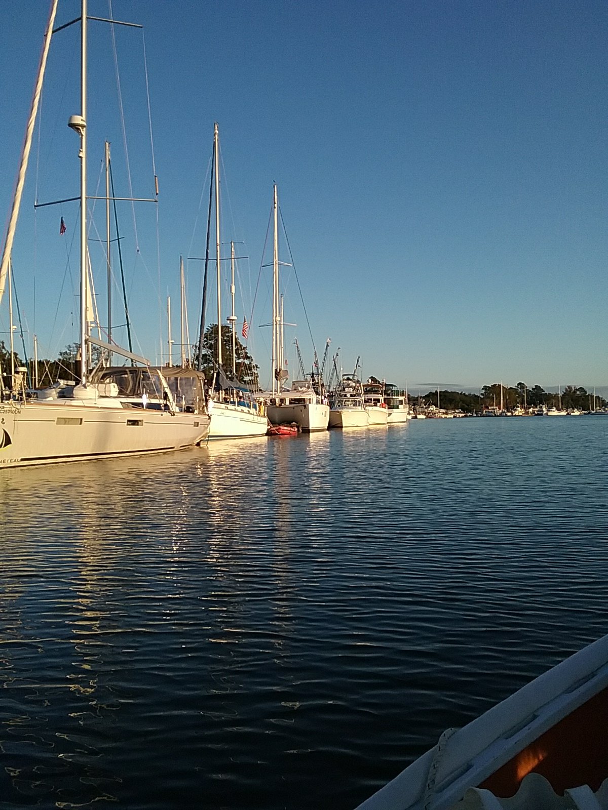
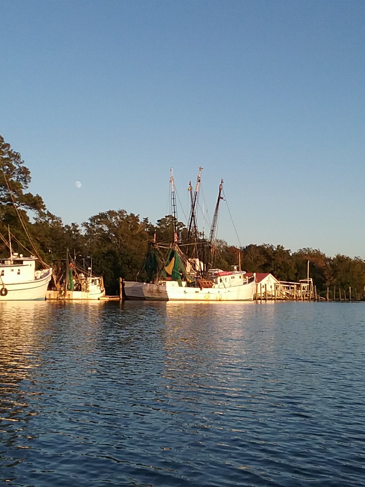
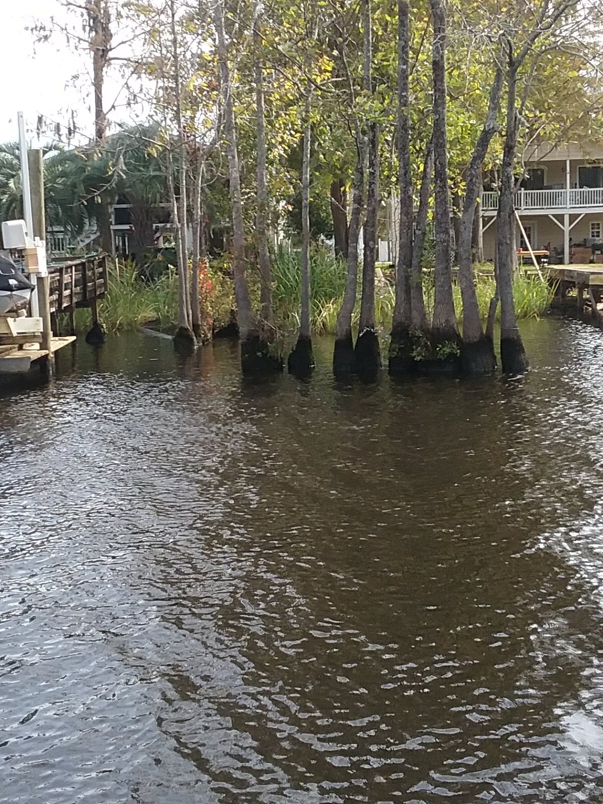
Scenes from Belhaven

Hampton Roads to The Great Dismal Swamp

October 20th- Hampton, VA

Not much to report on here. We had torrential downpours most of the day. The remnants of the tropical storm. It would let up a little just to get us out of the boat, then we’d get soaked. Virginia needs the rain. Catalpa got a good wash down.

Lynne and Ollie going for a row.

October 21st- Hampton, VA to Deep Creek Lock/ Dismal Swamp Canal, VA

This day was like two sides of a coin. We crossed Hampton Roads to Norfolk.

Naval ship of some sort.

I think this ship wanted to be called Smile.

More ships shipping stuff. (We’re no where near done with ship pictures yet).

The Navy base at Norfolk is massive. I believe it has the most industrial shoreline I’ve ever seen. Parts of it look to be all Navy ships. Other sections for unloading goods, making cement, and unloading coal. I really wanted to get up close to the Navy ships but this would have resulted in our imprisonment. They are patrolled by Naval police boats.

There was a line of aircraft carriers, each with a destroyer escort.

This one was going somewhere.

A SUBMARINE. Man the torpedoes! You can barely see it. I was excited anyway. I was tempted to get a little closer but that nagging fear of imprisonment brought me to reason. I recently read that the standard naval imprisonment sentence used to be 75 years.

A little further up the Elizabeth River is the Norfolk International Terminal.

Artistic crane deployment?

We were dodging ships for a while. We mostly just stayed out of the channel.

The battleship Wisconsin. I was able to get close to this one as the Navy no longer uses battleships. It’s an Iowa class ship and 4 were built during WW2.

Some other Norfolk sites.

I’m not sure how big the Norfolk Naval Shipyard is but there were a lot of ships, in various states, up the river.

I was so mesmerized by the industrial shoreline that I forgot to make the starboard turn off the Elizabeth River into Deep Creek. We made a U turn and got back on track.And here is the flip side of the coin.

Deep Creek.

We made it up to Deep Creek lock. The lock is the entrance into The Dismal Swamp.

The Lock

It only opens at certain times so we anchored in the Creek for a while. Eventually, we got the radio call to enter the lock. We motored in with fenders tied to the side along with another southbound cruiser . The lock tender took our lines and closed the big doors. He then pumped water into the lock and in a few minutes our elevation increased by 8 feet. The lock tender is a credit to The Army Corps of Engineers (who are in charge). He gave us some important news on what is going on in the Dismal Canal (the other lock is having issues) and gave us some of the history of the canal. He also let us know that our original destination (the Dismal Swamp welcome center), is full of boats. Right after the lock is Elizabeth’s Dock. It was built and maintained by a man in honor of his wife. It’s nestled between the lock and a drawbridge. The lock tender also raises the bridge. The dock is quiet and it’s in a park. It’s free. Paradise. We’ve been looking forward to the Dismal Swamp since I read about it back in Massachusetts.

We’re tied up to the pier with one other boat from Connecticut (also snowbirds). The draw bridge opens at 8:30 sharp, so we have to be up and ready if we want to move on.

The lock tender’s shack. They have 3 banana trees. One tree produces bananas each year. They dig up the trees and bring them inside for the winter. I assume the conch shells are donated.

The view off the back porch and Catalpa at her spot on Elizabeth’s dock. Ollie loves it. The park is about 25′ away.

October 22nd- The Great Dismal Swamp

After locking through a few more boats the tender opened the bridge and we proceeded into the canal. We were last in a line of 6 boats. I was told that following other boats closely is a bad idea as the lead boats can kick up logs off of the bottom. The Dismal Swamp was heavily logged and many of the cedar logs are still sitting on the bottom. We slowed way down and enjoyed the scenery. The water is a dark tea color from tannic acid. I believe this is due to oak trees.

Off the stern.

Mrs Quequeg getting ready to harpoon a log.

It was calm enough that Oliver spent the day on deck.

Eventually we crossed into North Carolina.

This farmer has his own bridge that he puts across the river to move live stock and equipment. He waited until we passed.

Later what I thought was algae, I found out is knotweed. The person in the visitors center explained to me that they have been having a real problem with it for the past three years. The northern portion of the canal is brackish so it doesn’t grow as thick. The southern portion is fresh water so it gets thicker. The canal is fed from Lake Drummond (a fresh water lake).

Our engine takes in water to keep it cool. I have emptied knotweed from the sea water strainer twice and will keep checking it. I’m glad I installed a strainer.

We tied up on a pier at the North Carolina welcome center. The canal is on one side and a highway on the other. People stop in cars and visit the boats. The people at the center gave us a bunch of literature on the area. The parks department also has a Dismal museum and a boardwalk swamp trail that we enjoyed.

Lynne and Ollie on the Dismal boardwalk

Catalpa at the pier.

We have another lock and bridge to go through tomorrow morning. We are big fans of The Great Dismal Swamp!