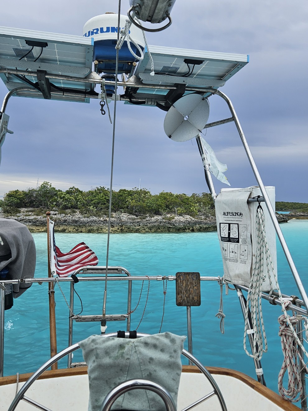
May 22- Port Washington, NY
Evergreen made it out of Atlantic Highlands on Tuesday and motored up the East River to Port Washington. We took the launch in yesterday for groceries. The weather has been cold and raining so we haven’t been doing much. I commissioned the woodstove again. We still have wood left over from our fall migration. Our winter clothes have been unpacked and are back in use. Temps are in the upper 40s to 50s Fahrenheit. Not really very cold but cold for our thin blood. The nor’easter is today. We’re getting a few gusts but it’s mostly a cold rain event. We had some exceptional Wonton soup for lunch yesterday. Today is hot Shin Ramyun soup (hot and spicy Korean). This is a great area for various international foods!
… back to the narrative. We ended just south of Norfolk Virginia.
May 2nd- Camden Bay, NC to Old Point Comfort, VA
By the log we covered 65 nautical miles over 12 1/2 hours which really isn’t bad. What the numbers don’t say are that we had multiple hurdles to jump. Early on, we had to park Evergreen to let a barge and tug get through a very tight spot. We then had three bridges that needed to open for Evergreen to pass through. Bridge one, I made on time. Bridge two, I forgot about and had to wait a long time for it to open. Bridge two threw our schedule out the window. I had to wait another hour for Bridge three. After that was the Great Bridge lock to contend with. By this time I was ready to end our day. Nope. Onward! The next bridge was a broken railroad bridge undergoing repairs (of course it was down). Right after that is the Gilmerton Highway Bridge which won’t be opening for the next 2 hours due to rush hour traffic. OK- broken train bridge and highway bridge that won’t open. Now what? My frustration level was redlining at this point. I figured if I could just get past this hurdle, maybe, we’d just anchor a little further down the Elizabeth river. Then luck dealt another hand.
“EVERGREEN we have a commercial tug with a reservation for an opening of the Gilmerton Bridge in 15 minutes. You can come through with the opening. ”
“GILMERTON, What about the railroad bridge?”
“Cap, I’m on the phone with them and it looks like they are going to open.”
YES!!!
The scheduled tug came through along with 2 more on his heels. Evergreen got through also.
So was this the end of the day? No. Luck was still helping us out. We had a favorable current down the Elizabeth River to Norfolk harbor so we just kept going. Around sundown we anchored at Old Fort Comfort in Hampton, VA.
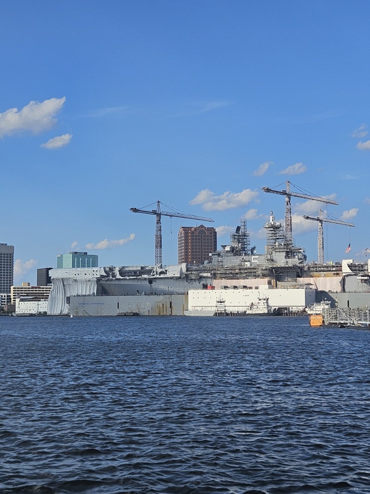
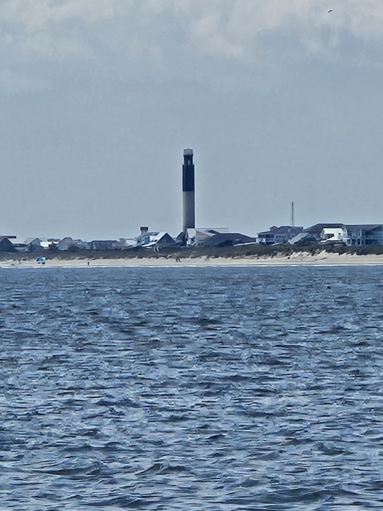
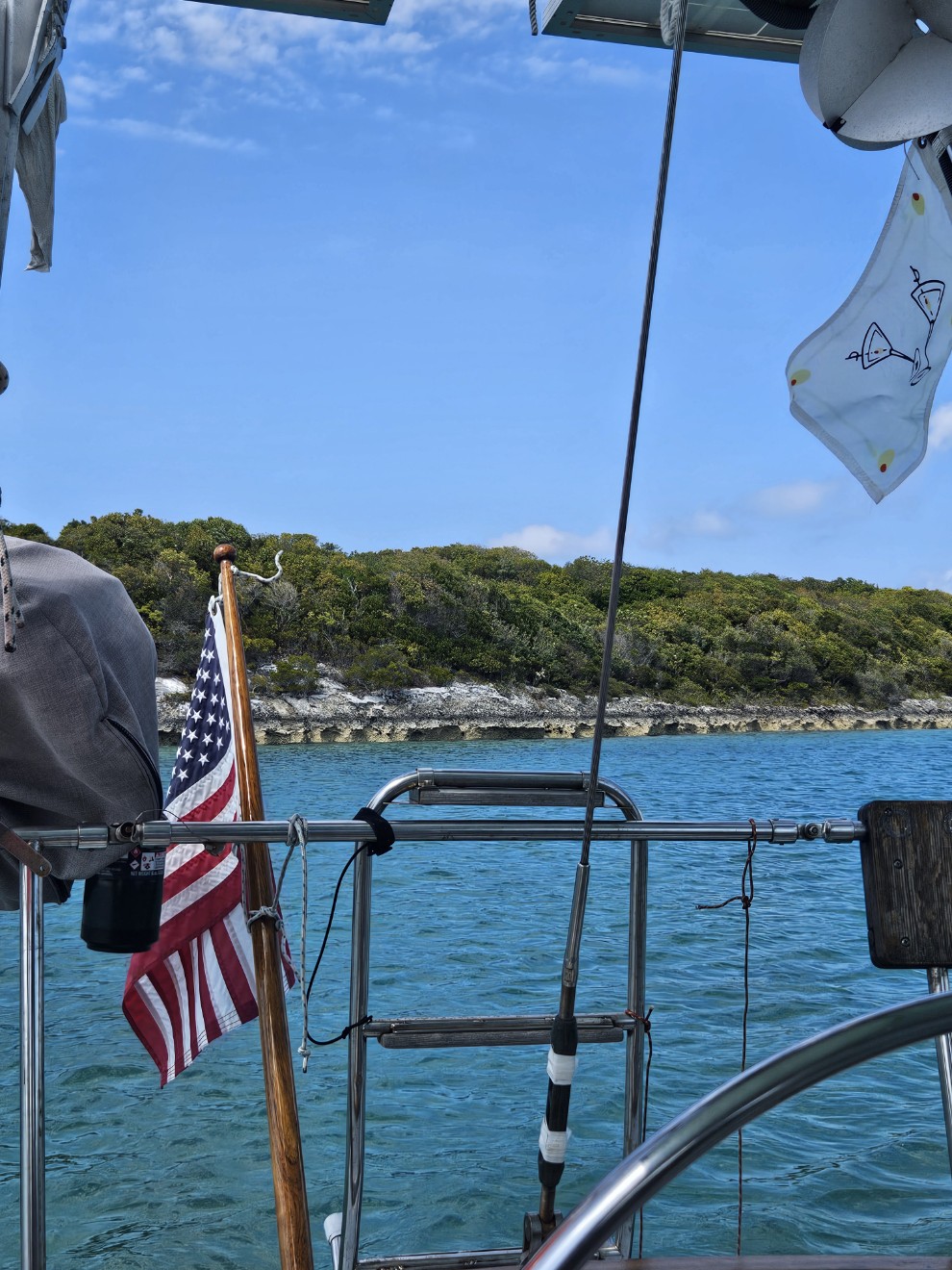
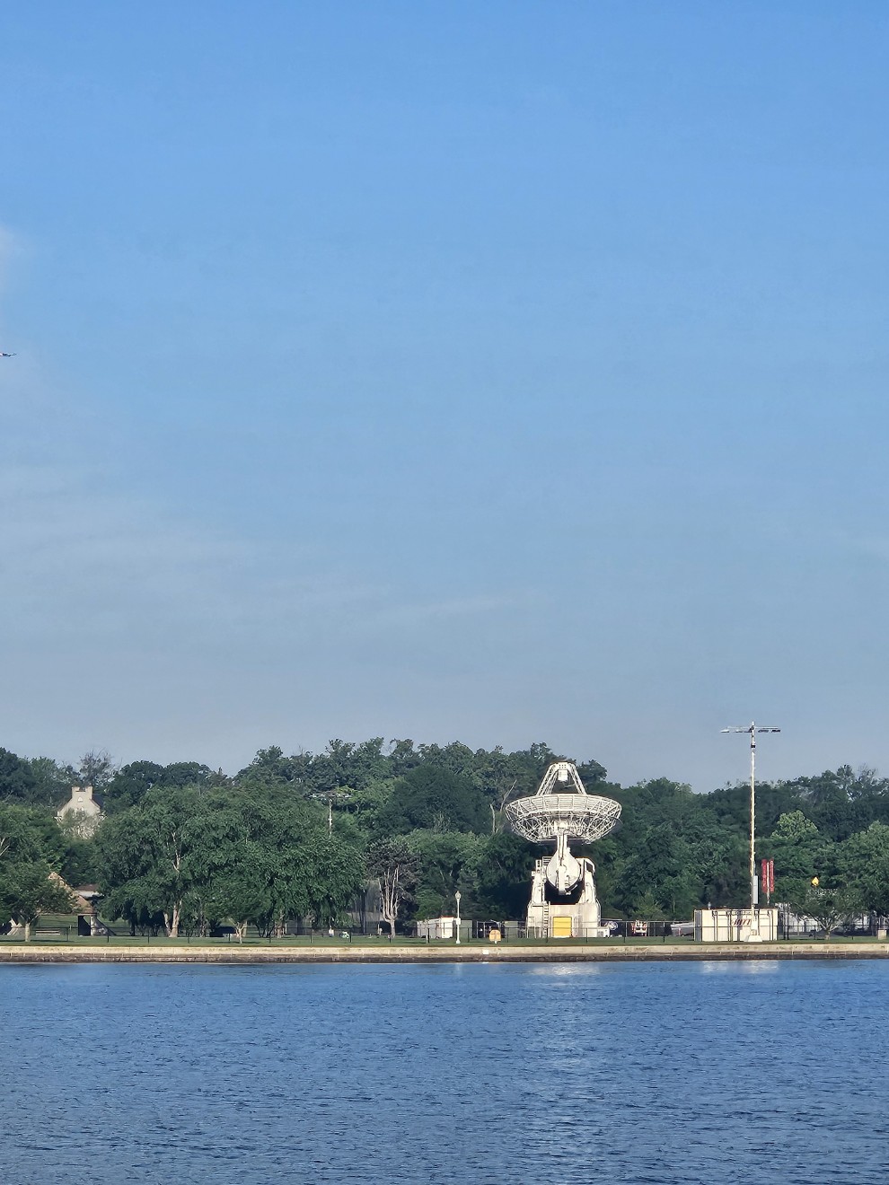
Lots of Naval stuff going on in Norfolk.
One reason we anchored at Old Point Comfort was for protection from an upcoming weather event. Unfortunately, the wind direction wasn’t ideal for the anchorage. We decided to move Evergreen a short distance to Back River where I could tuck the boat in the lee of a bunch of trees on land. What Google maps didn’t show was 100s of crab pots everywhere. Somehow we managed to triangulate a spot in the field. We waited out the rainy weather in our protected spot. We were the only boat anchored. This was the beginning of a trend for the month of May. We’d have a couple nice days then rain and wind. Before this, we were followed by warm, dry, weather all winter and spring.
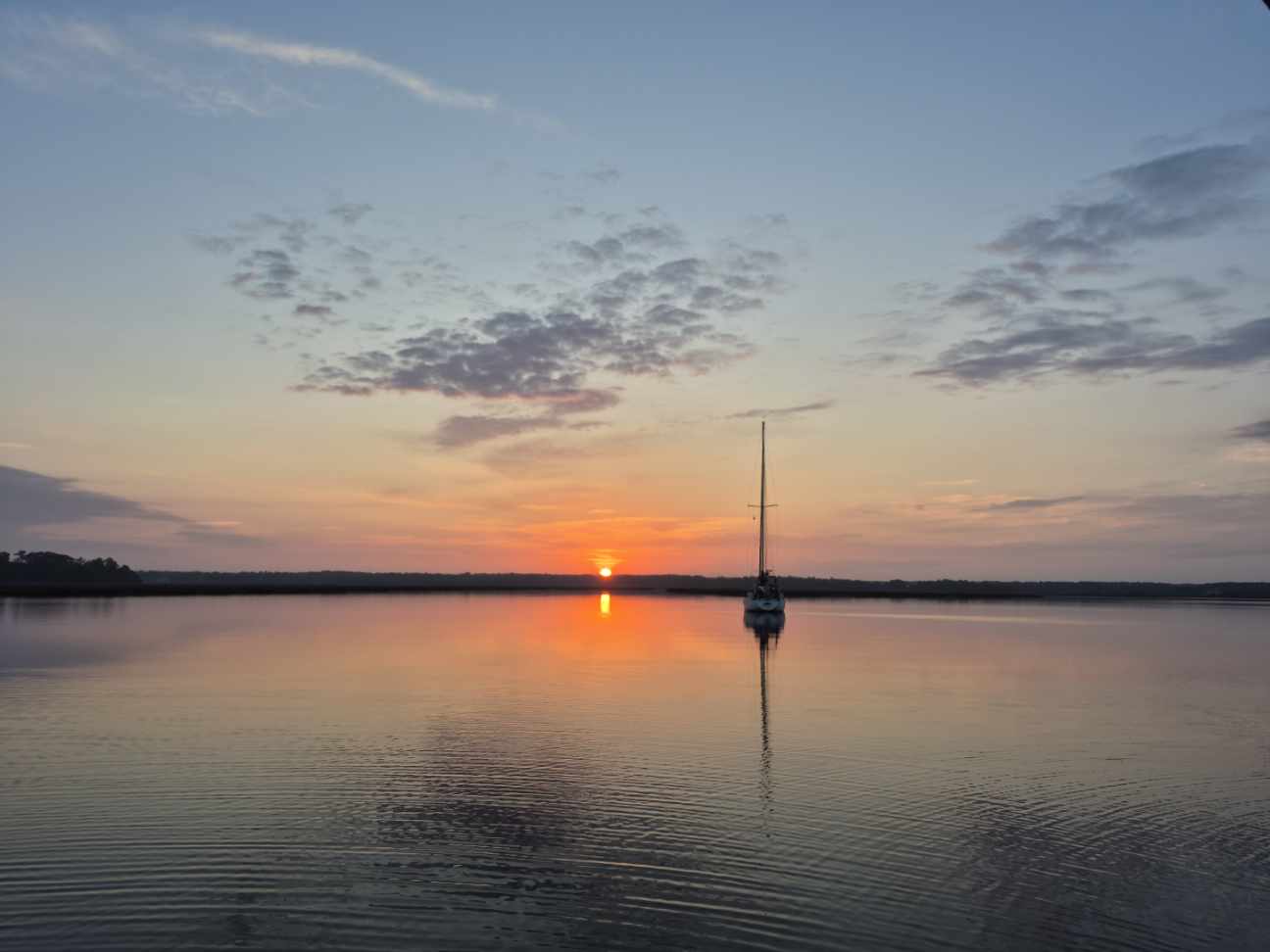
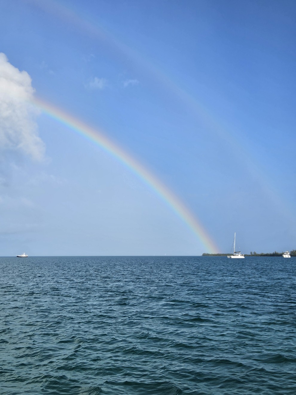
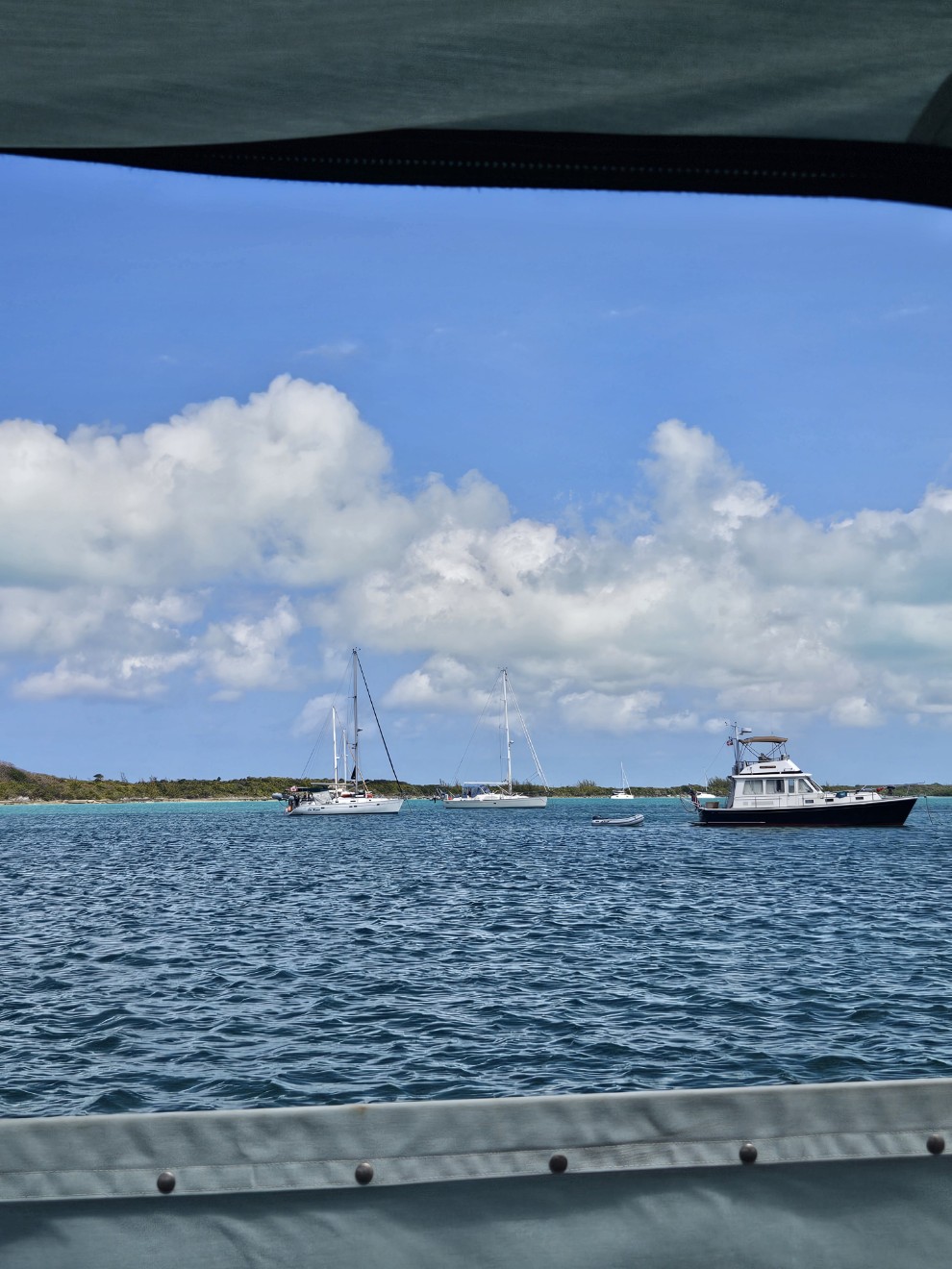
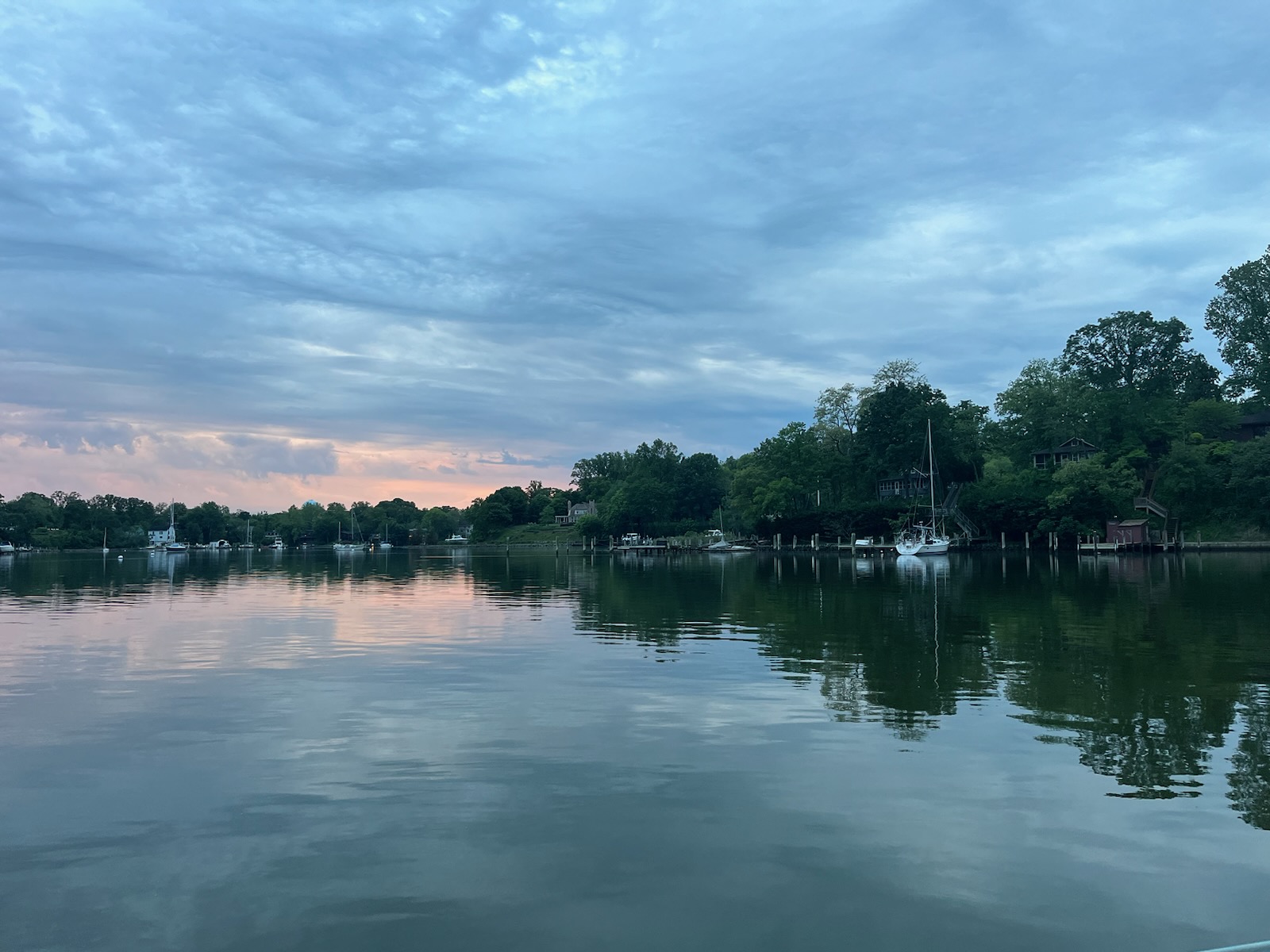
After this we sailed further north on Chesapeake Bay. Our next stop was Deltaville. We needed diesel but unfortunately the Fishing Bay marina had none. After Deltaville we made for Solomons Island. We cut our day short and ran into a very protected anchorage at Mill Creek due to thunderstorms.
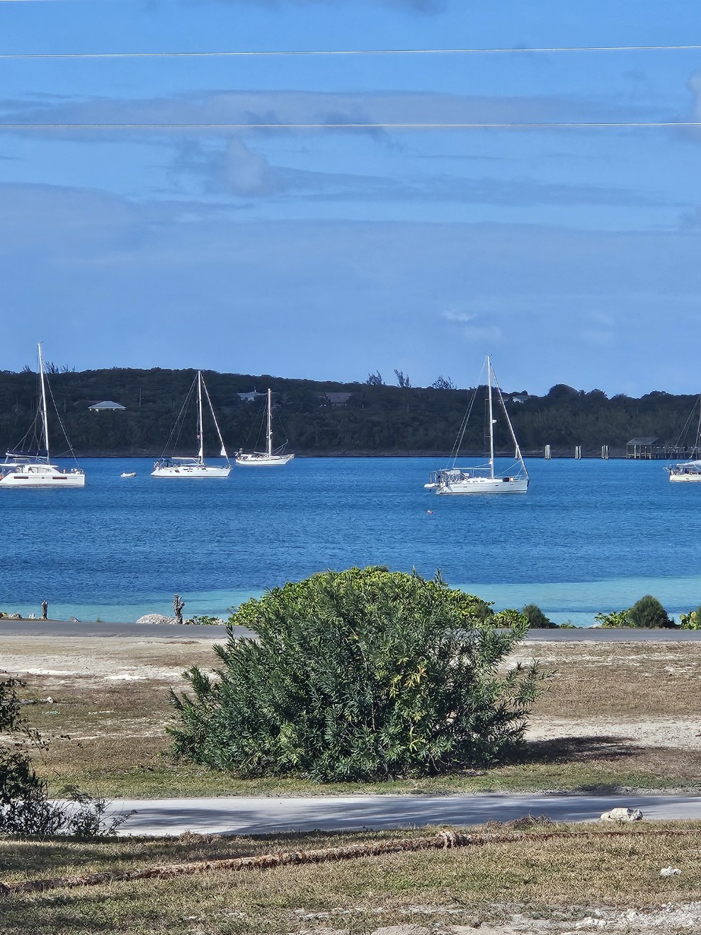
Next stop: Solomons Island. We splurged on a mooring at Safe Harbor Zahnisers. You pay for the mooring (or even more for a dock) BUT they really do have some of the nicest private showers on the ICW. They also have laundry (included) with big machines and a shuttle service to the various stores in the area. Besides diesel, we needed a full compliment of supplies for Evergreen.
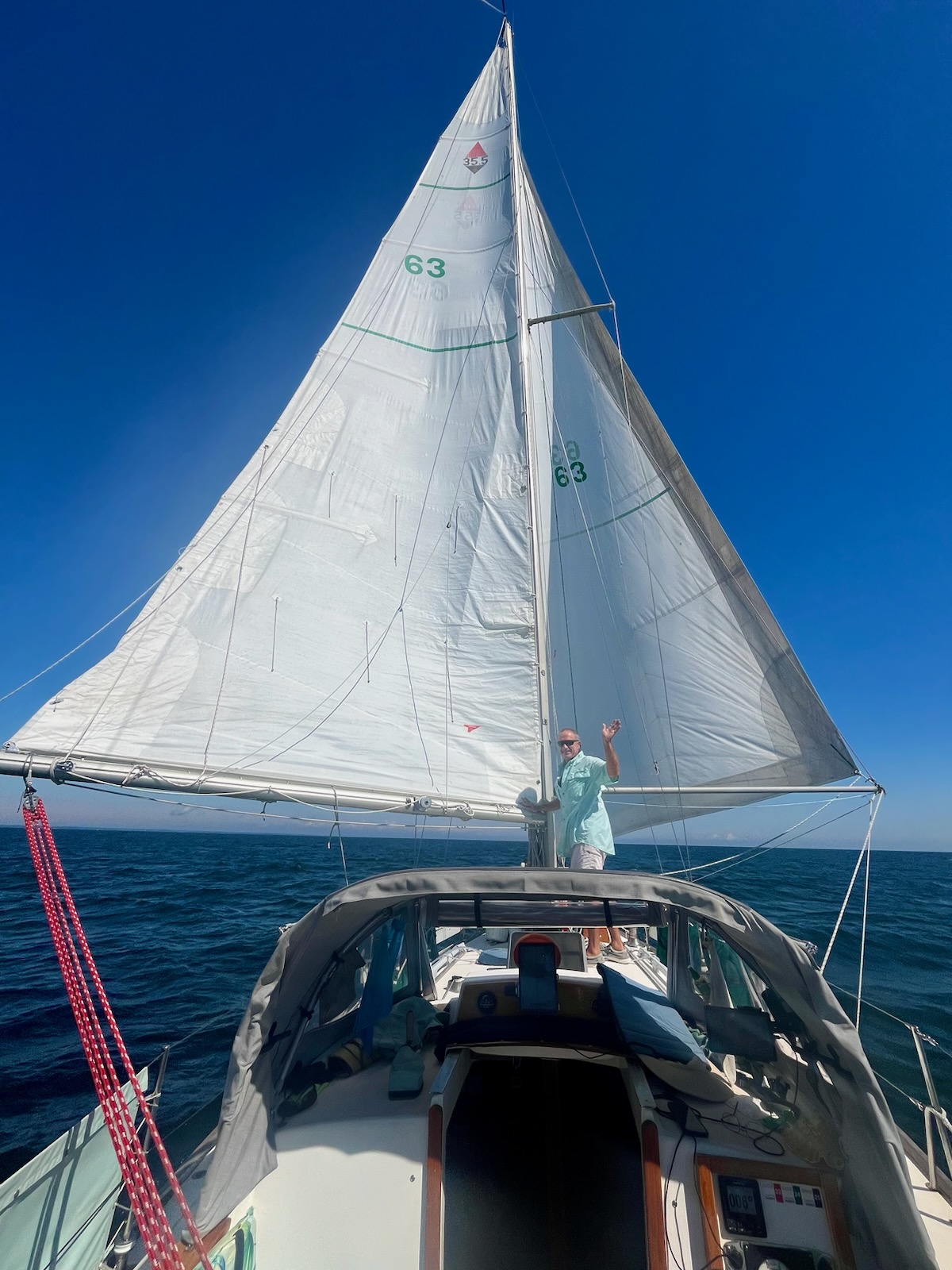
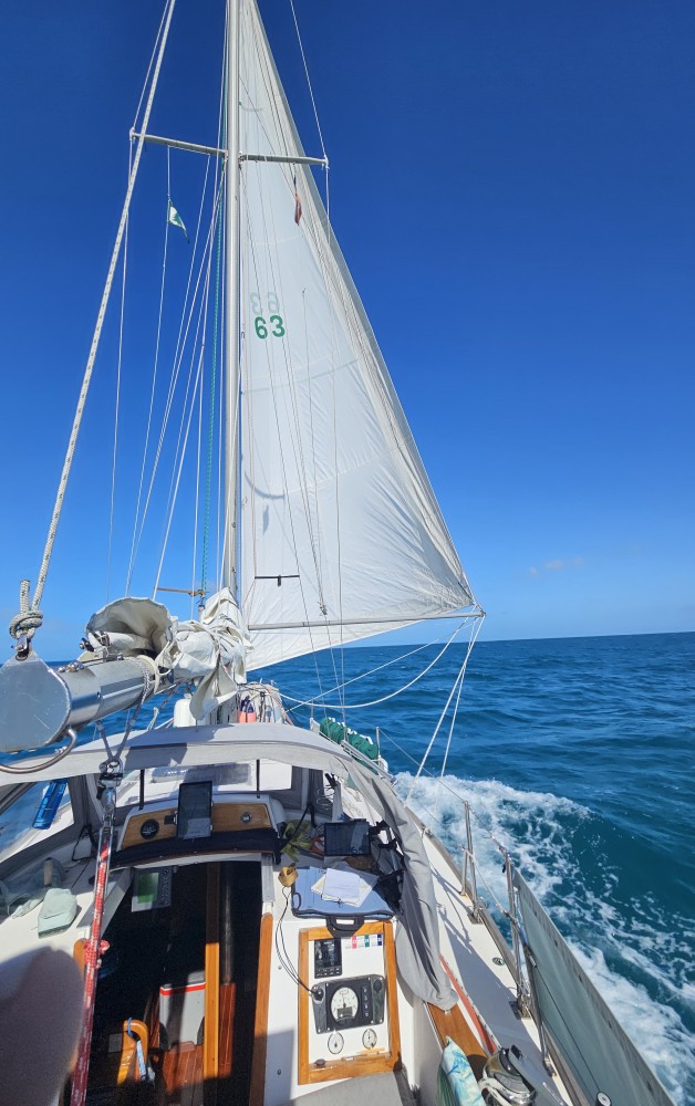
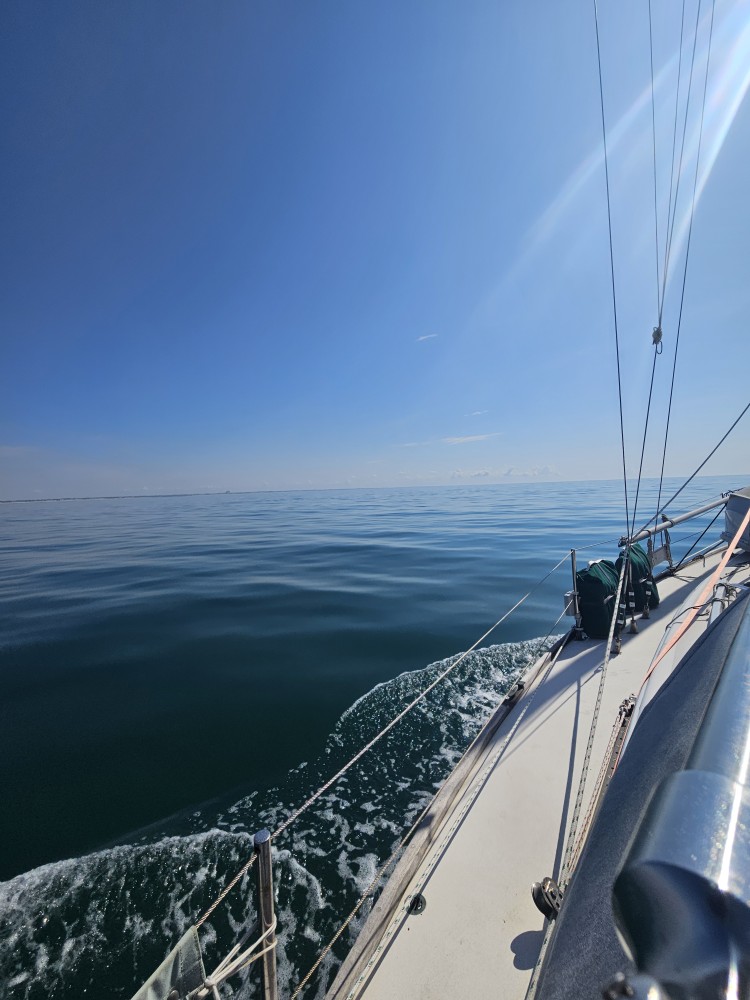
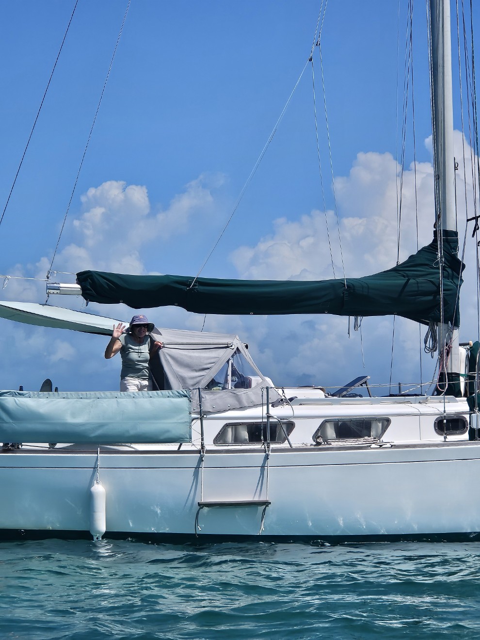
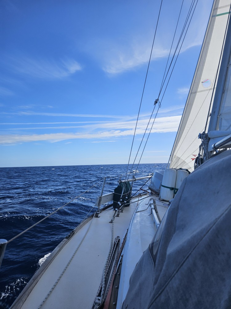
The Captain is very happy to be having a nice downwind sail on the way to Solomons Island.
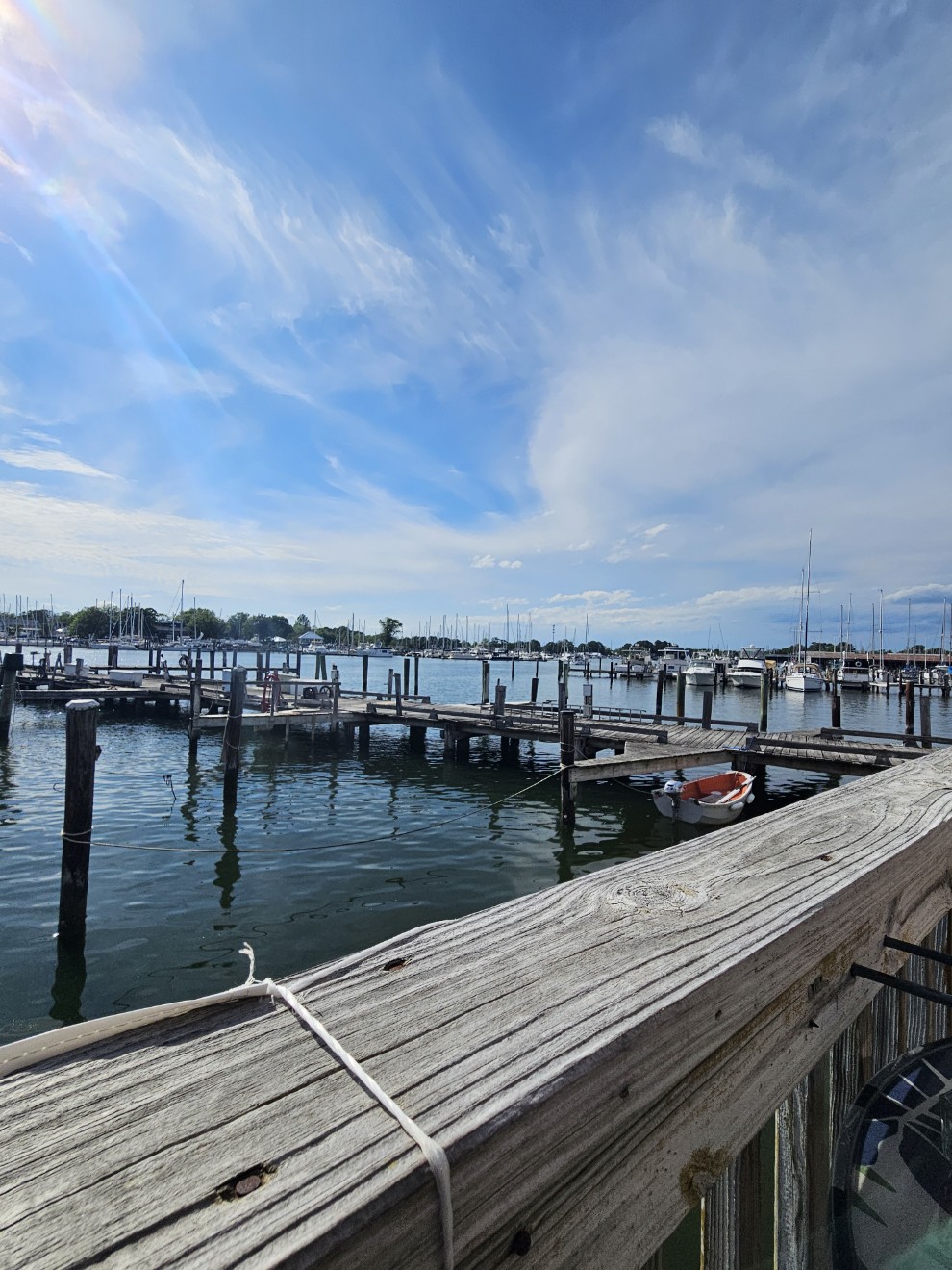
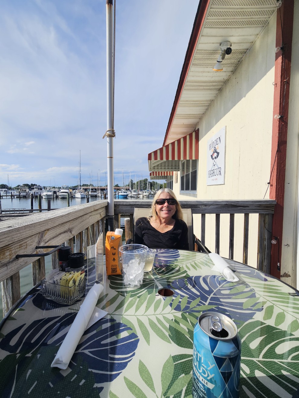
The Admiral is very happy to be having dinner at Hidden Harbor Restaurant which is one of our favorites.
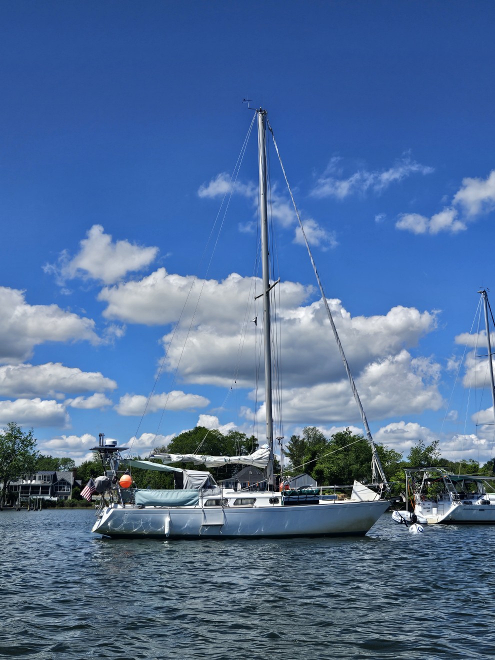
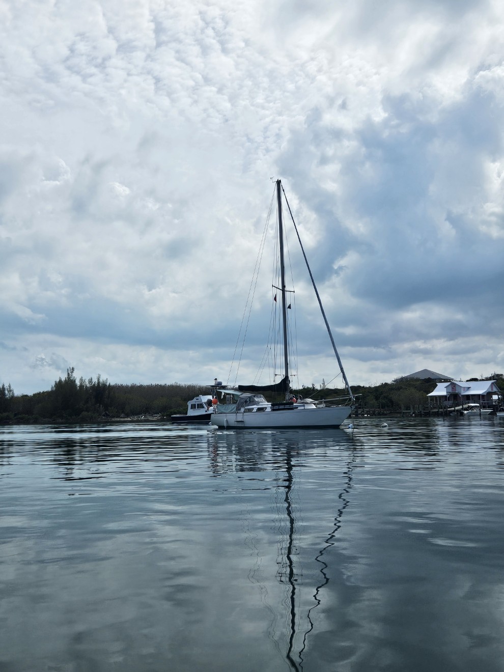
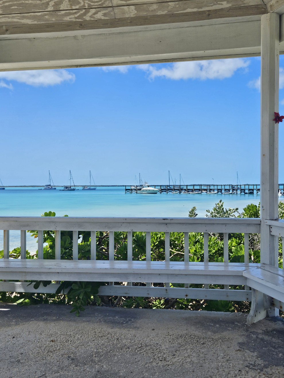
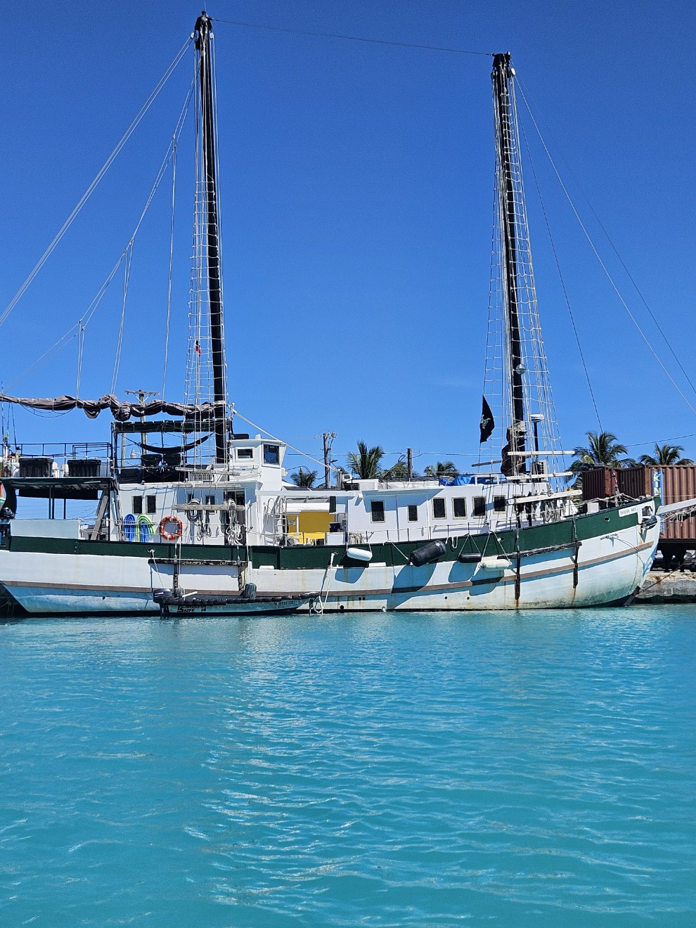
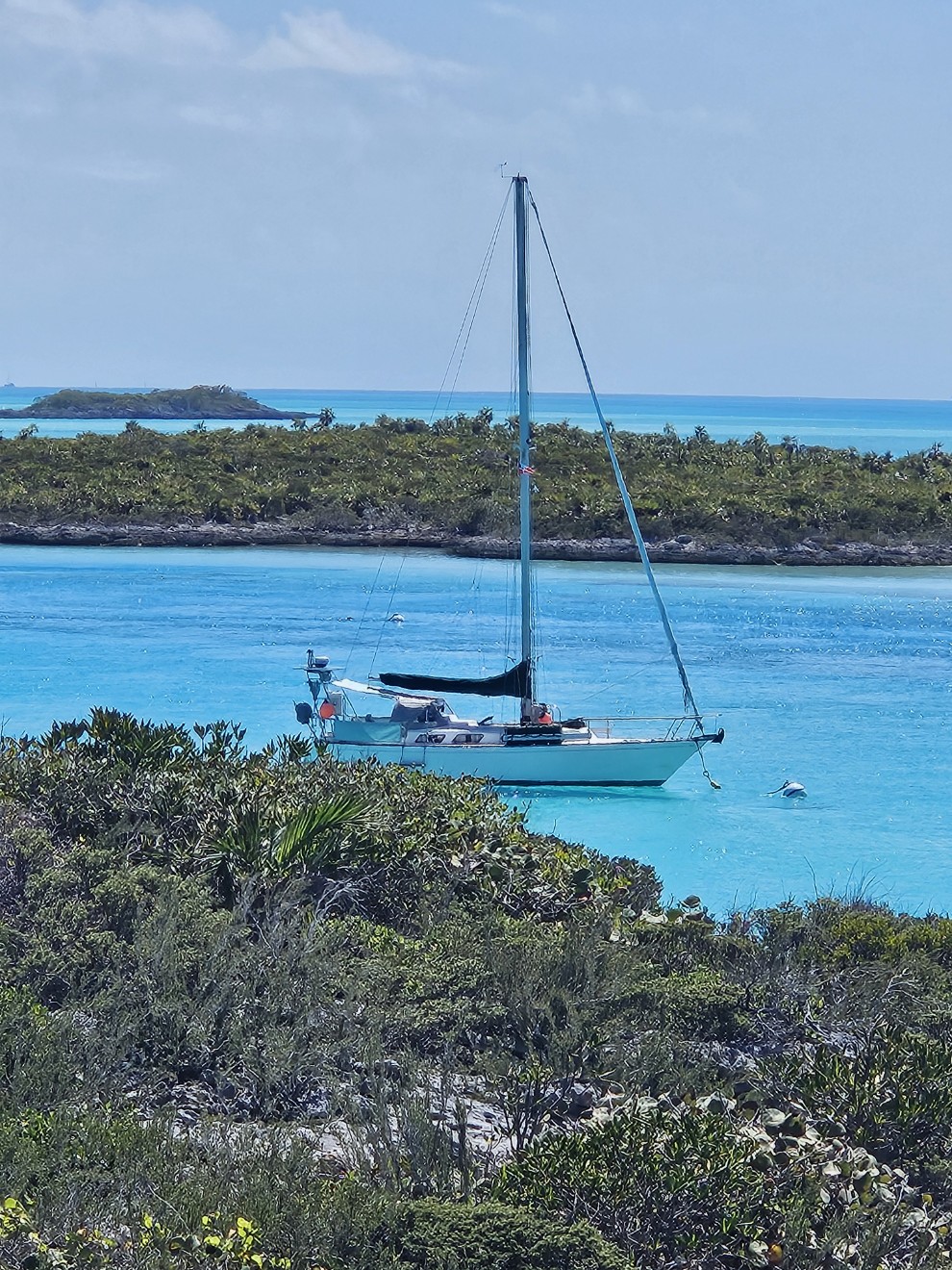
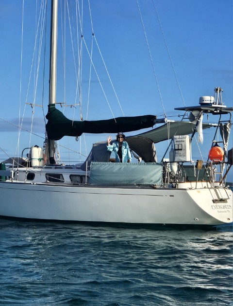
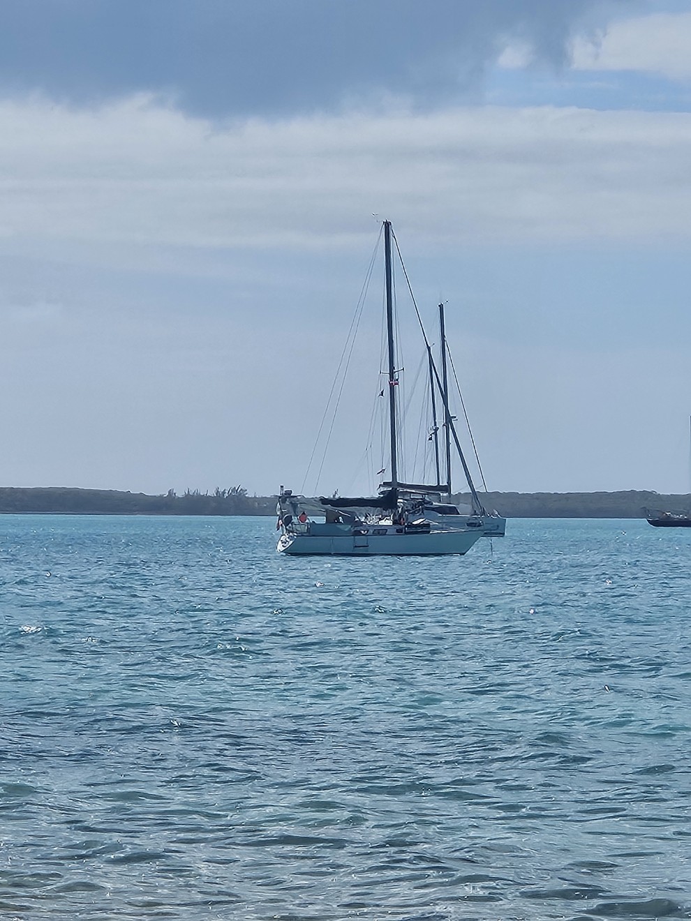
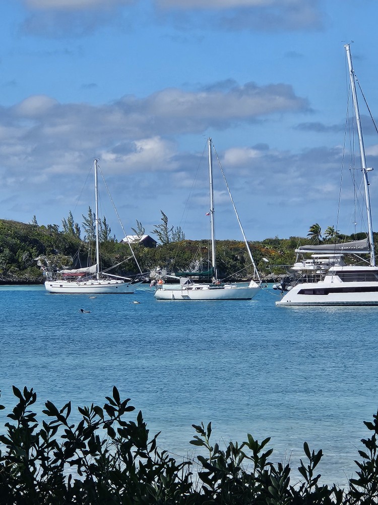
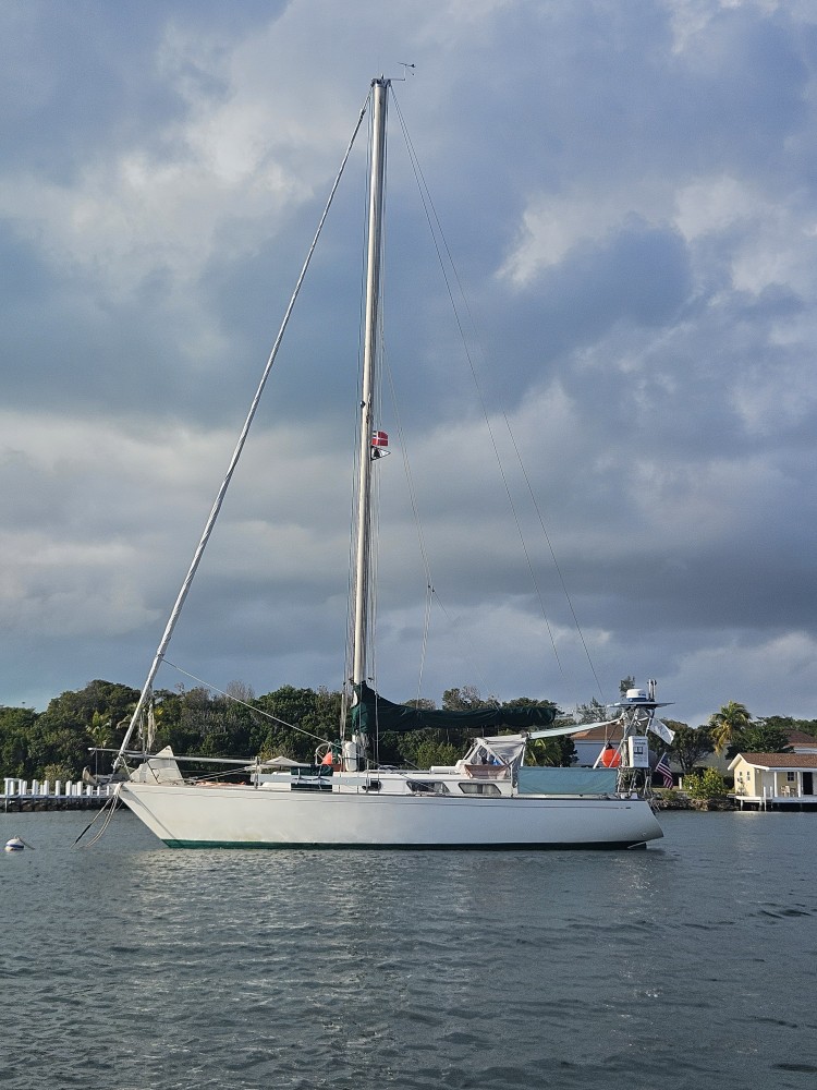
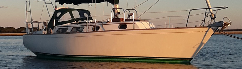
Evergreen moored at Solomons Island.
From Solomons we moved further up the bay to Weems Creek in Annapolis. This was to be a big stop for us. Our main’sl has been looking very frayed. It’s old and is nearing retirement. I’ve known this for a few years and while I like new sails, they are an expensive proposition. Bacon Sails is in Annapolis and I’ve heard a lot about it from other cruisers. They are a sail loft, so make and repair sails. Annapolis has a big sailing community. In addition to being a loft they also have a large consignment shop with a huge inventory of used sails. While sailing north along the bay I had been perusing their inventory and found a main that would work on Evergreen. One day we walked over to Bacon to see the sail. It looked good. With a few small modifications it would work on Evergreen’s mast. An hour later we were walking back to Evergreen with a new (used) sail. Making the whole thing better was my father decided to give us the sail as a gift. Thanks!
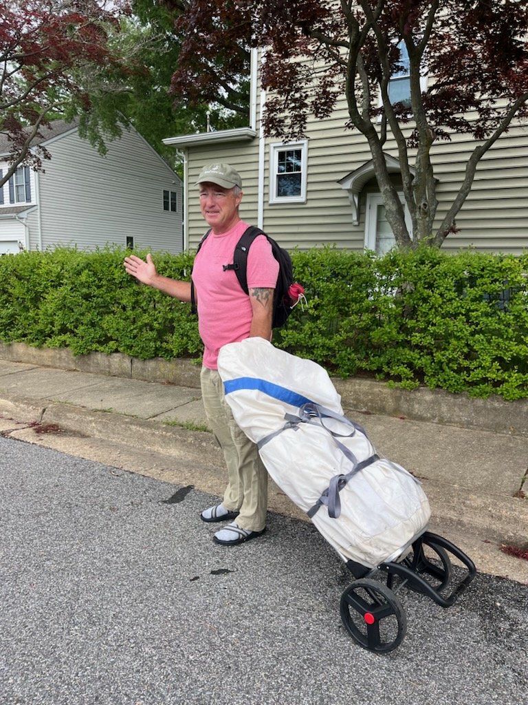
A new main’sl for Evergreen.
The next day we went back to Bacon to check out more of the consignment shop. They really have an extensive inventory. I found a few more odds and ends and decided I’d better just stay away from that place before I get more ideas! It’s definitely worth a visit if you are a sailor and happen to be anchored in Annapolis.
Weems Creek.
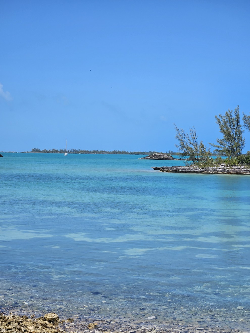
We waited out some north winds in Weems Creek and moved on when the wind subsided. Our next anchorage was Worton Creek. I always call this spot our hurricane hole. It’s completely protected. We were expecting another day of bad weather (not even close to a hurricane) so this would be where we would wait until some improvement. The plan was to stop at the marina and get diesel fuel and water but the dock had a huge boat on it and was undergoing repairs. Once again I lugged my fuel and water cans in by dinghy. We’ve only pulled into a dock at Vero Beach and Solomons Island.
From Worton we moved a short distance to the Sassafras River. This was more for a change of scenery and hopefully better internet coverage to download weather forecasts. We got the scenery but not the internet.
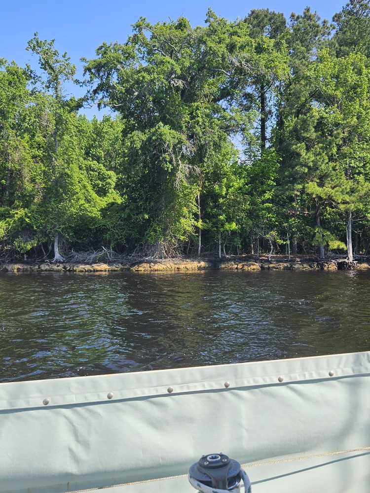
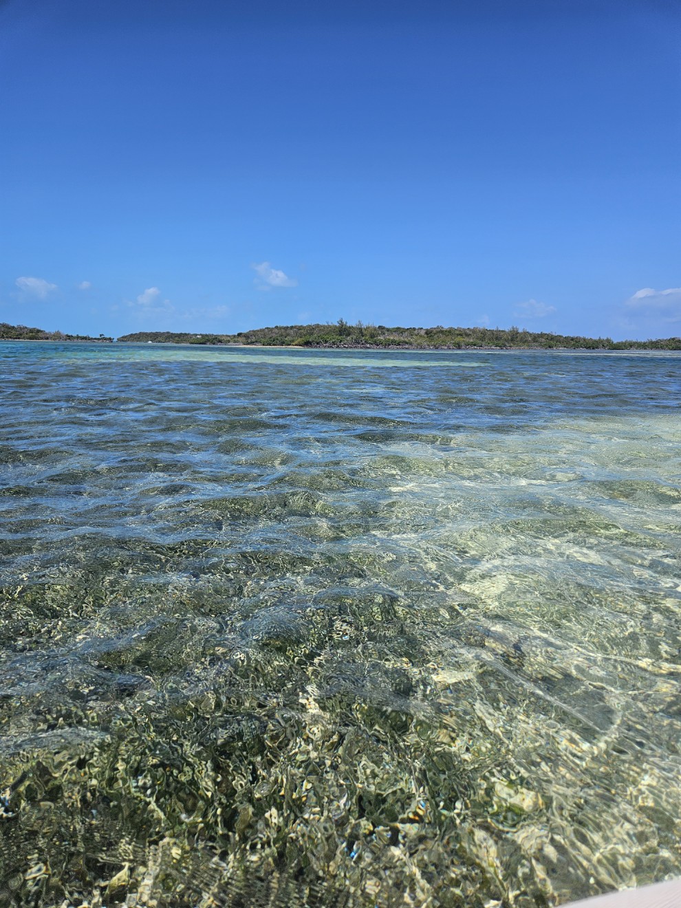
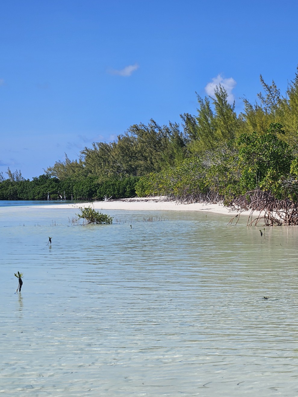
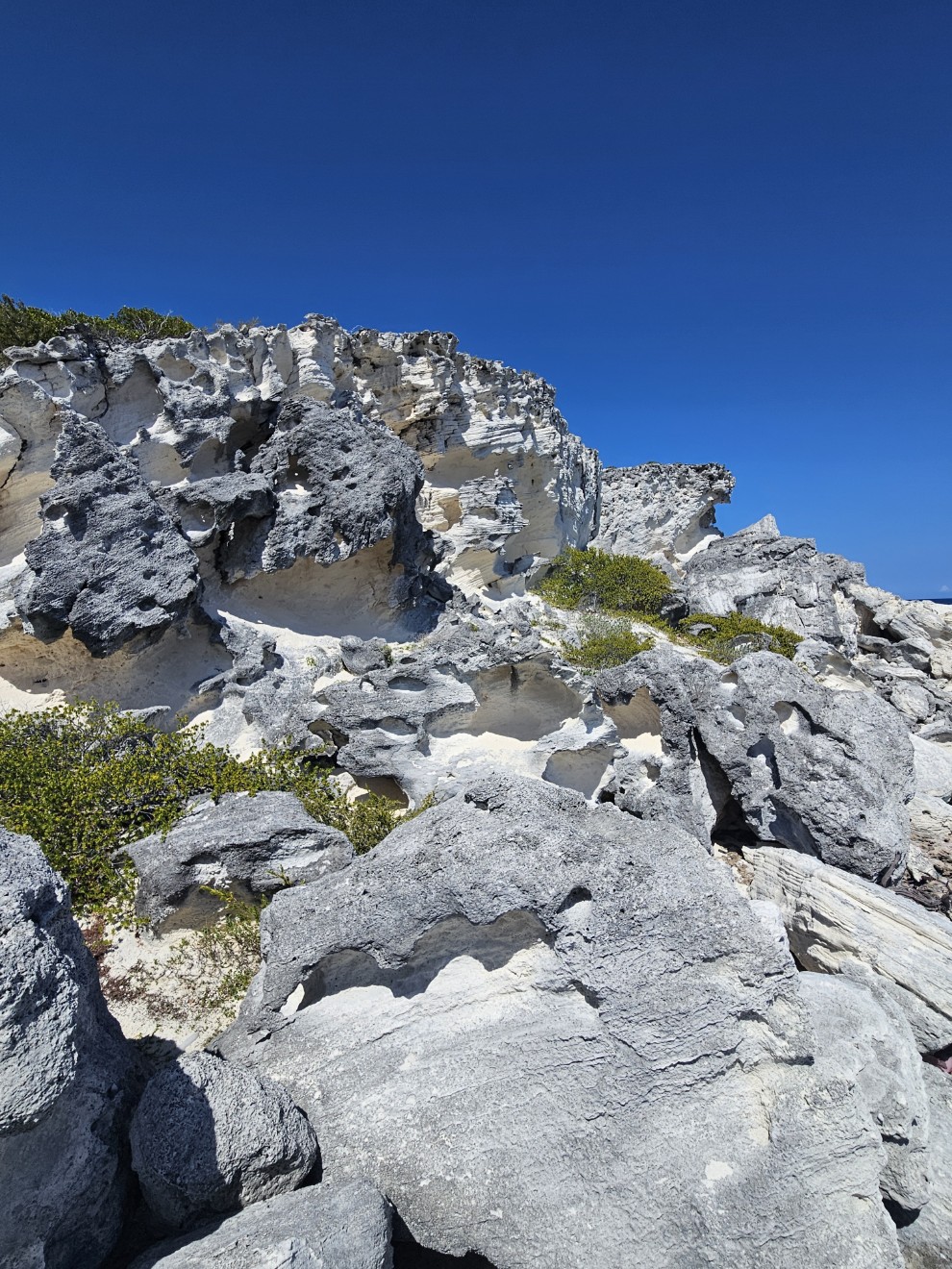
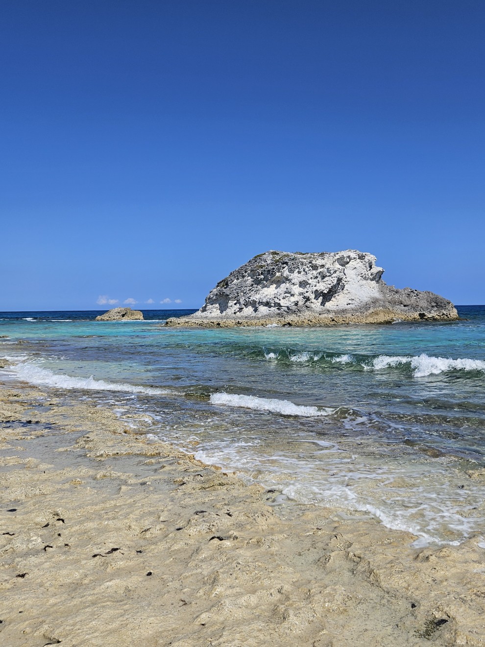
Near the entrance to the Sassafras Rivers.
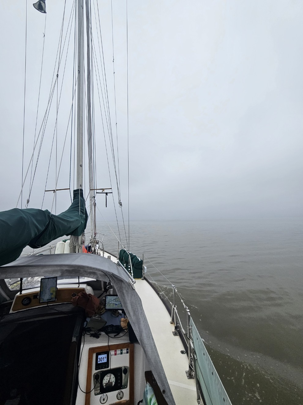
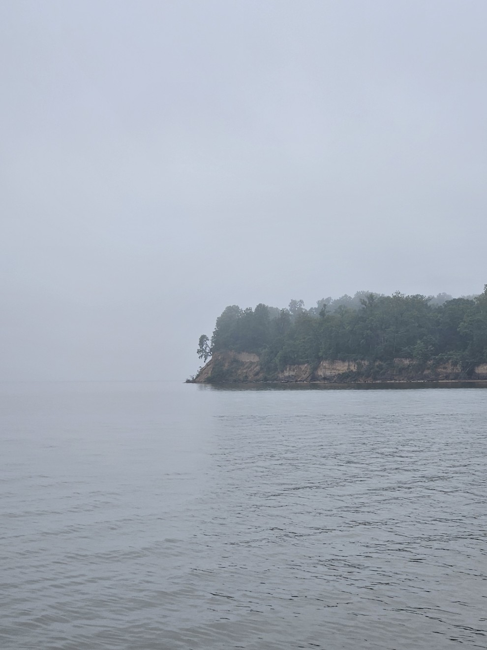
Fog. At least it’s not raining.
From the Sassafras we pointed into the C&D canal and anchored at Chesapeake City. Plan A was to hang around Chesapeake City for a few days but when I got internet access the weather became a concern.
It seemed we’d have to stay in the area for possibly a week or more if we didn’t get moving.

May 16th to 17th- Chesapeake City, MD to Atlantic Highlands, NJ
At 6am we pulled Evergreen’s anchor and headed down a foggy C&D canal. With both radar and AIS we could see there were no ships currently traversing the canal. When we left Chesapeake City we didn’t have a definitive plan. We were likely to have lightning squalls moving through the area but if we split up our passage over a few days we’d be likely to encounter heavier, possibly adverse, winds. All this would culminate with the nor’easter which you read about in the beginning of this epic.
I had several bailout options planned but we just kept on moving. We tracked one large squall on the Delaware Bay but it seemed if we just kept our pace we’d have some wind and rain but leave the worst of it behind us. We heard it was a problem in New Jersey but we avoided most of that one.
At the end of the Delaware Bay we went down the Cape May canal. This put us in Cape May harbor which was one of our bailout points. According to the weather prognosticators the night would have light winds with “scattered thunder showers”. Ok, doesn’t sound too bad. We’re expecting heavier winds in a day or so with a likely small craft advisory. Let’s just keep going. While in Cape May we siphoned more fuel into Evergreen from our deck tanks.
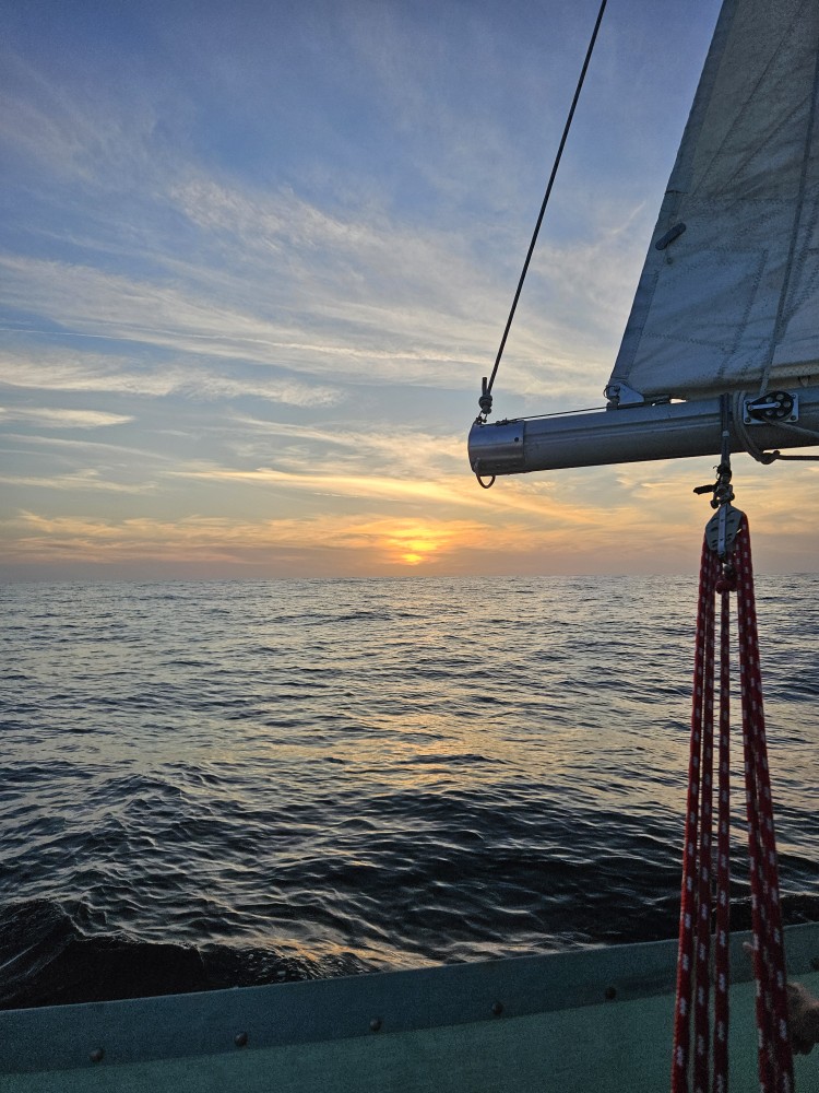
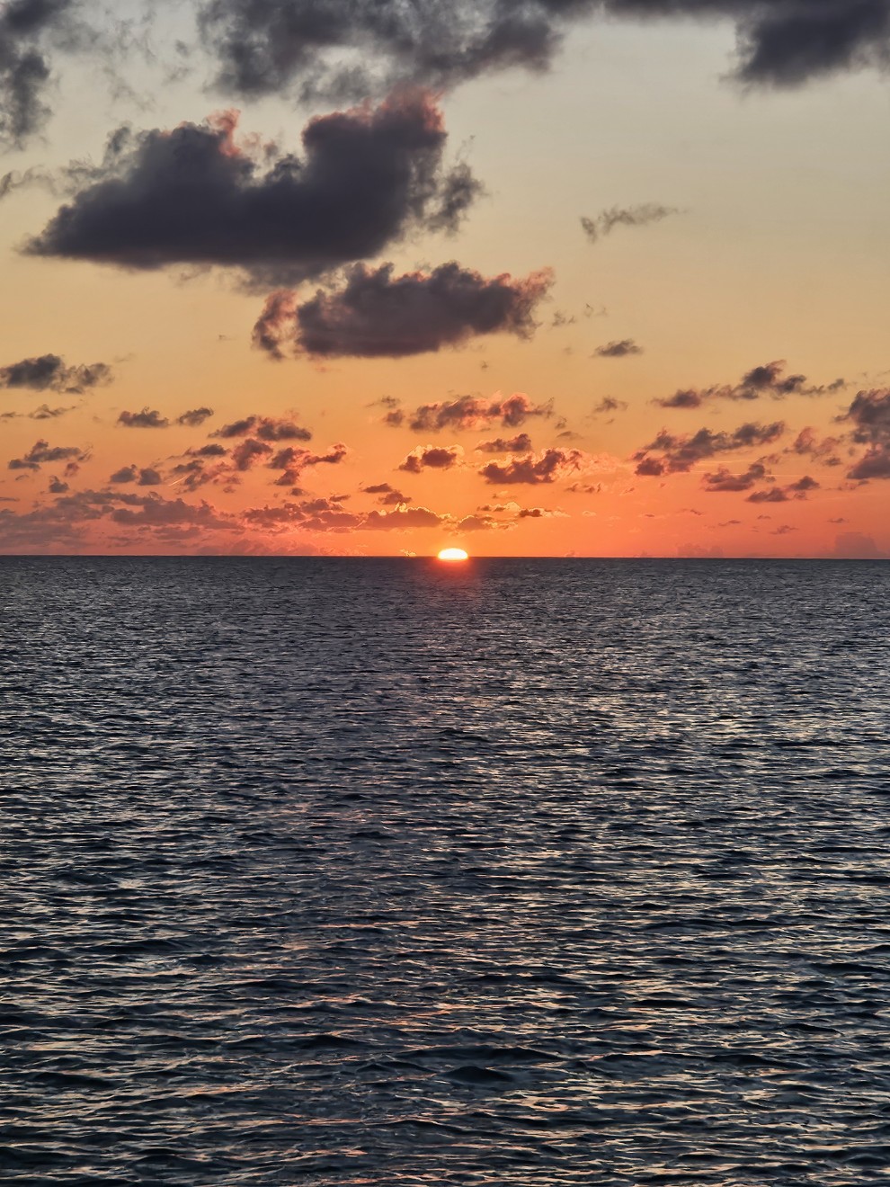
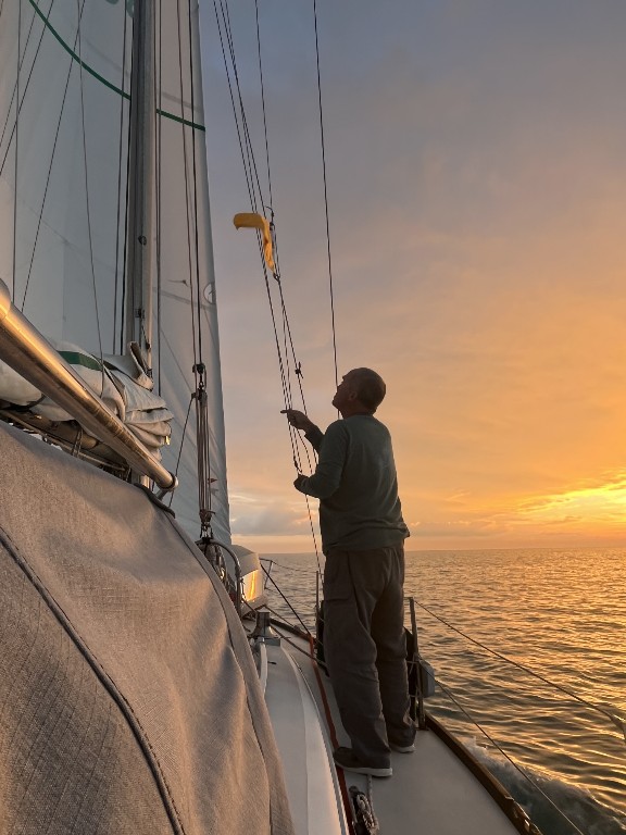
Around 5:45 pm we headed out Cape May Inlet into the Atlantic Ocean. The wind was behind us and all seemed good. At some point I looked again at the weather radar. Big problem. Then an alert from the National Weather Service. Severe thunder storms, wind gusts over 50mph, dime size hail, lightning, all mariners should seek shelter immediately. The storm looked to be about 1/2 hour away. Cape May was hours away and upwind (which was increasing). We wouldn’t make it. The nearest inlet was Townsend Inlet which I’ve never heard of and know nothing about. I’ve heard stories of cruisers getting injured and wrecking their boats trying to escape storms by entering dangerous inlets in bad weather. This was no time to panic. I proceeded to tie everything down. We furled Evergreen’s genoa. Donned foul weather gear, life preservers, harnesses and teathered ourselves to the boat. To say we weren’t scared would be a lie. I noticed a commercial tug with barge on AIS. It was a few miles up ahead of us and had slowed down a bit. I wondered why. When I checked the weather radar I noticed an area between intense cells that seemed better. That’s where the tug was. I pushed Evergreen’s engine to flank speed and tried for that less intense area to the north of us. We smashed our way ahead and waited for the storm to hit. Eventually I had Lynne record our Latitude, Longitude, heading, and time. We put much of our electronics (and a vhf radio) in our oven. The oven would act as a Faraday Cage and protect some of our equipment should we get struck by lightning.
Luck? Maybe.
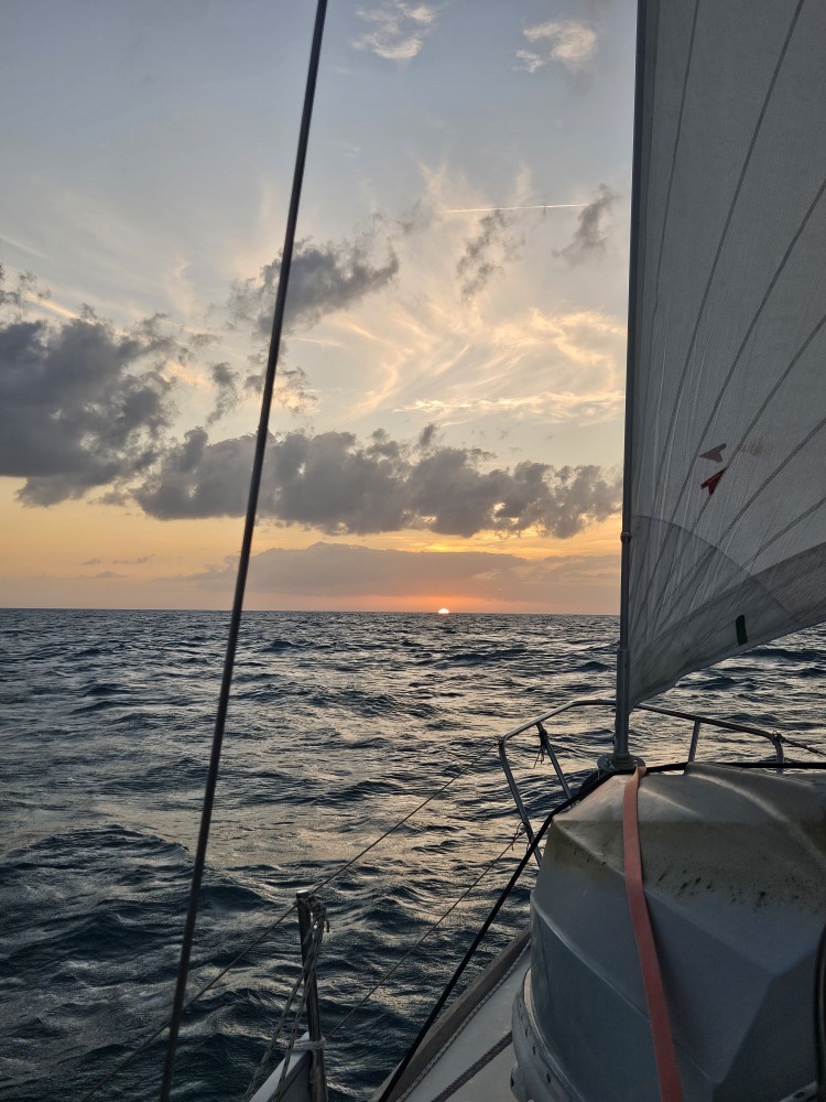
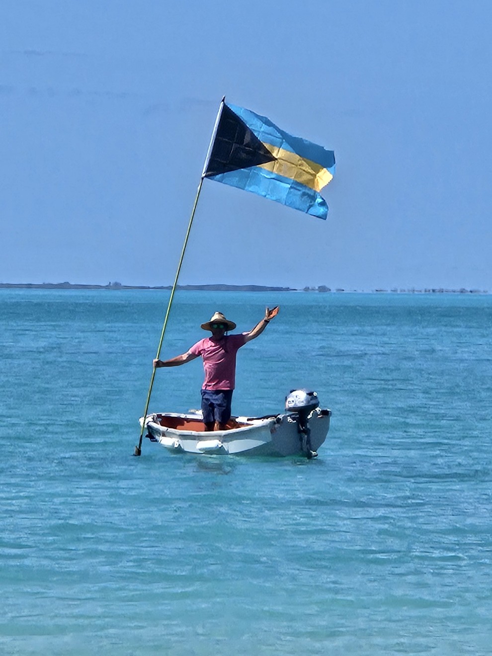
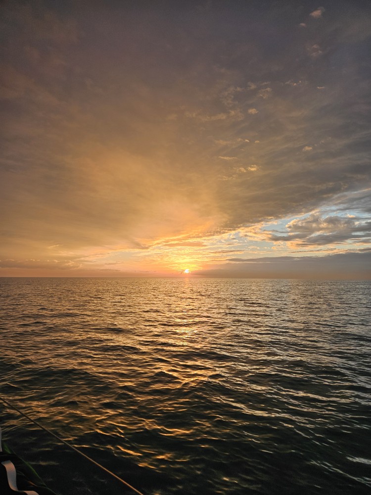
We made it to the “calmer spot” and had some wind and heavy rain. The lightning all hit at a distance. Sometimes I couldn’t even hear the thunder. I watched bolts streak across the sky but nothing seemed very close. No hail. The wind was probably 25 to 30 mph at worst. It was very dark but eventually I could see an orange spot below the black clouds to the west.The remains of the sunset and the end of the squall. Red sky at night, sailors delight. It was all over in an hour or two. The rest of the night was great. We motor sailed the whole way. Sometimes the wind would die completely and we rolled in our flopping genoa. Lynne and I both took watches and got some sleep. She watched a beautiful sunrise with unbelievably calm seas while the Captain slept soundly. We had breakfast and lunch together again while underway. At 1:00 pm on the 17th we anchored in Atlantic Highlands and slept for a few more hours before getting cleaned up for a celebratory dinner. 179 nautical miles over 31 hours. A new record for us.

NYC skyline from Atlantic Highlands. The AH breakwater is in the foreground.
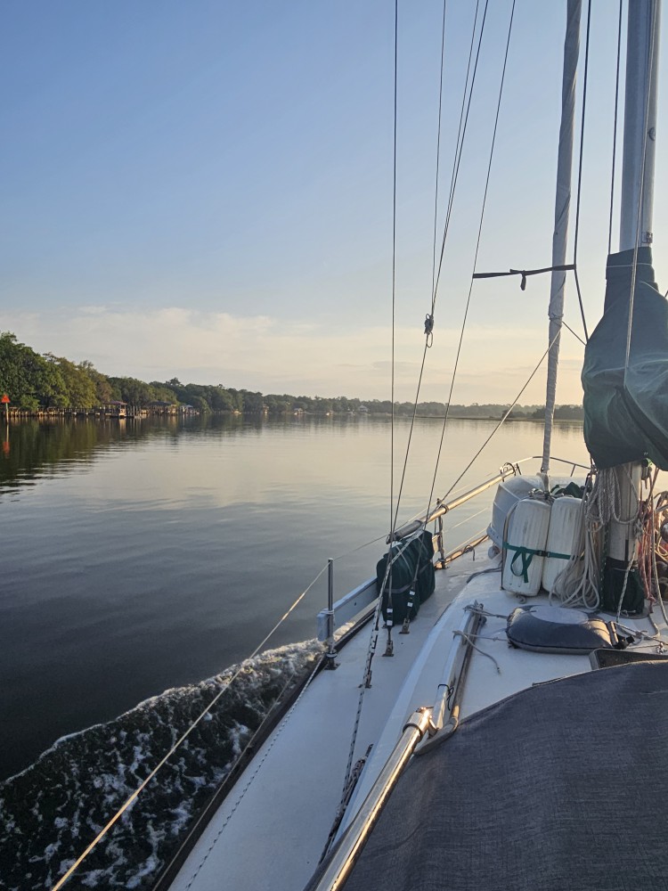
May 20th- Atlantic Highlands, NJ to Port Washington, NY
It’s been a little rough in Atlantic Highlands. More sailboats have come in from the south but I’m sure things are worse out in the North Atlantic. We have a nor’easter predicted so are moving on to a more protected harbor. One of our favorites. Port Washington.
We pulled our anchor (which seemed to be dug in half way to China) and timed the current up the East River along Manhattan.
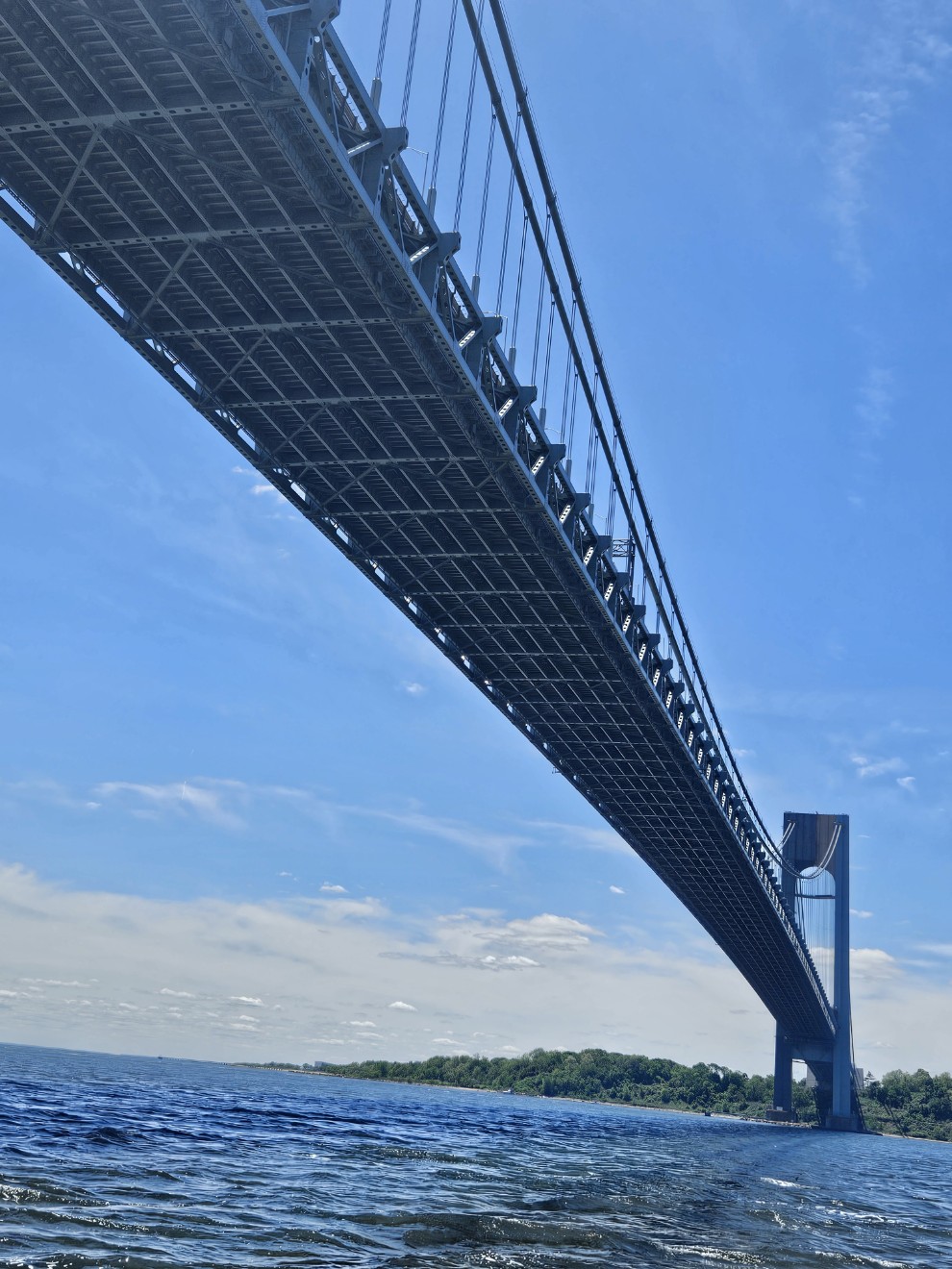
The Verrazano Narrows Bridge.
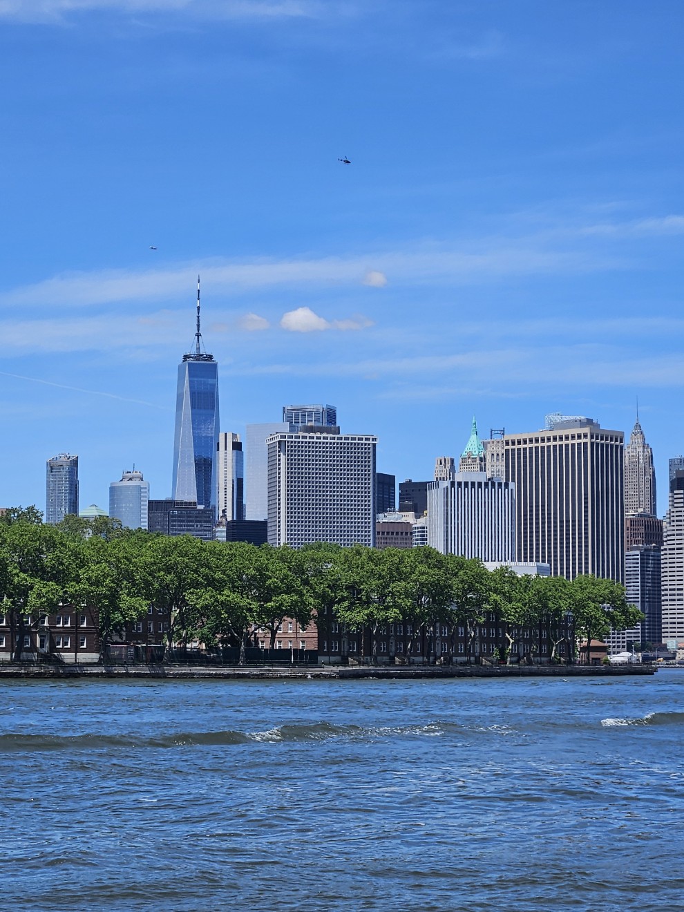
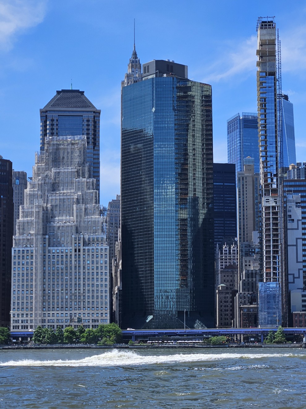
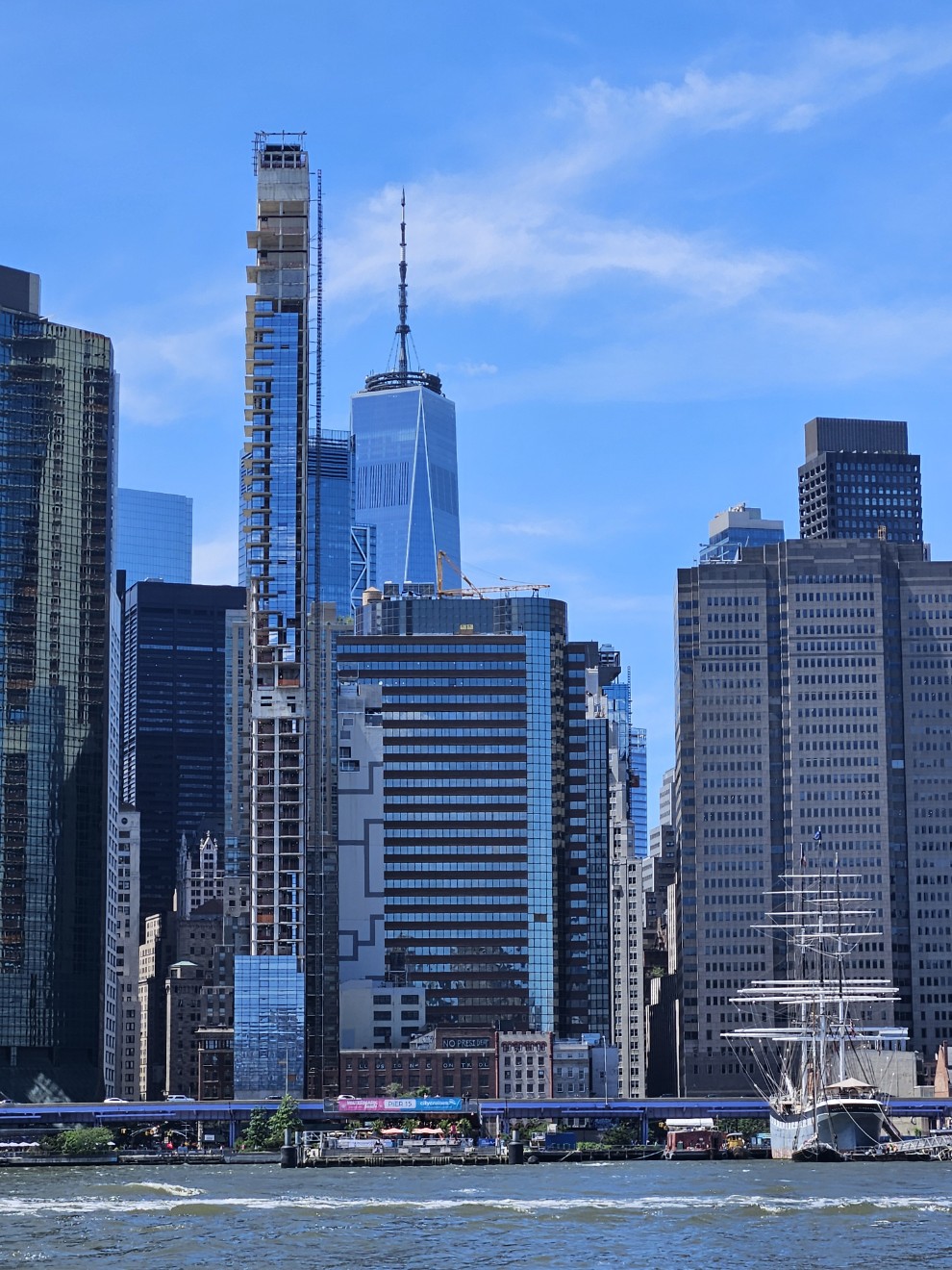
The World Trade Center. Governors Island in the foreground.
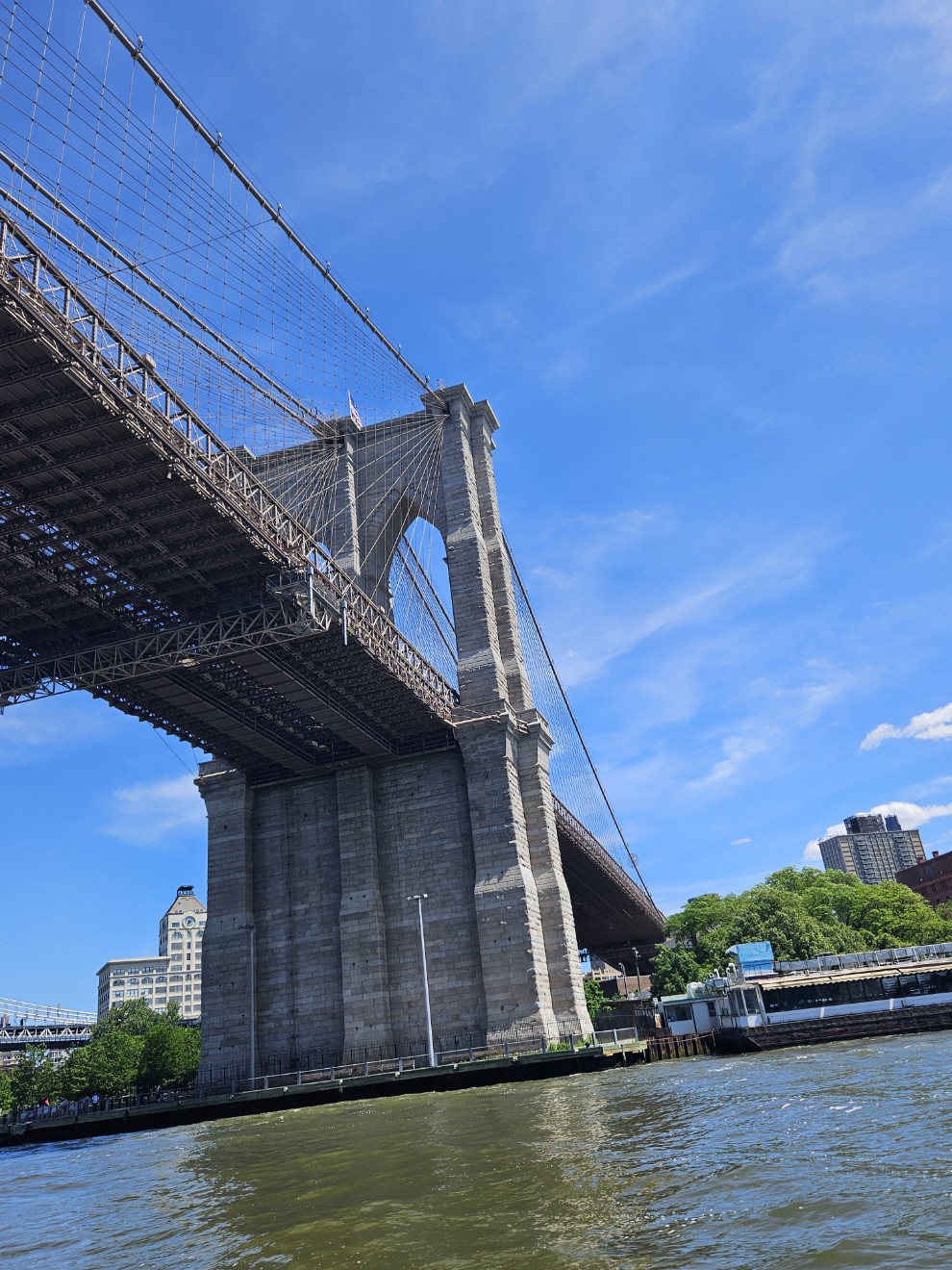
Brooklyn Bridge.
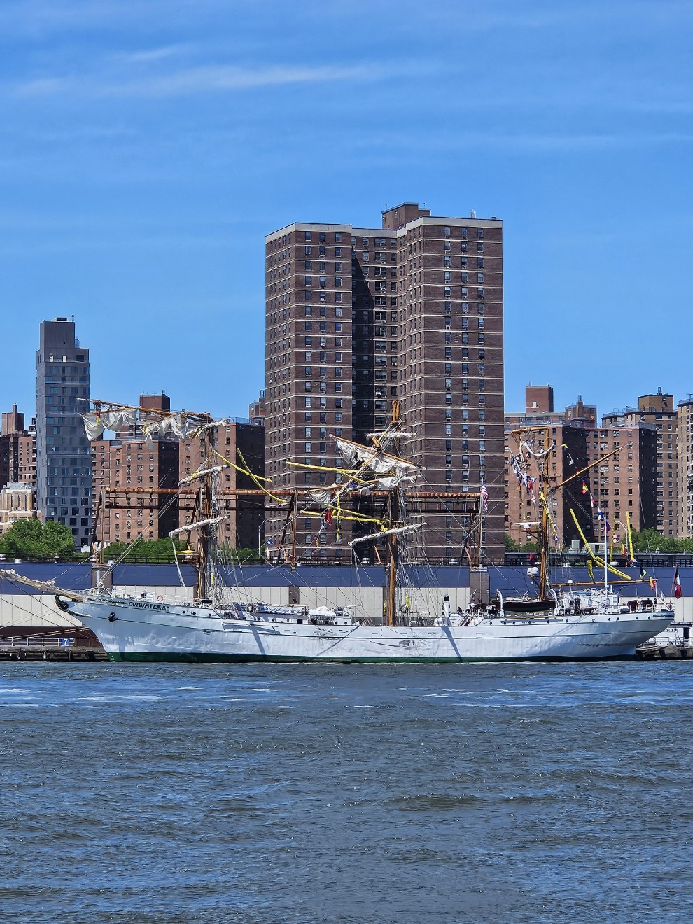
The Mexican Navy ship Cuauhtémoc. Tragically, this vessel recently lost power and hit the Brooklyn Bridge with loss of life and many crew injuries.
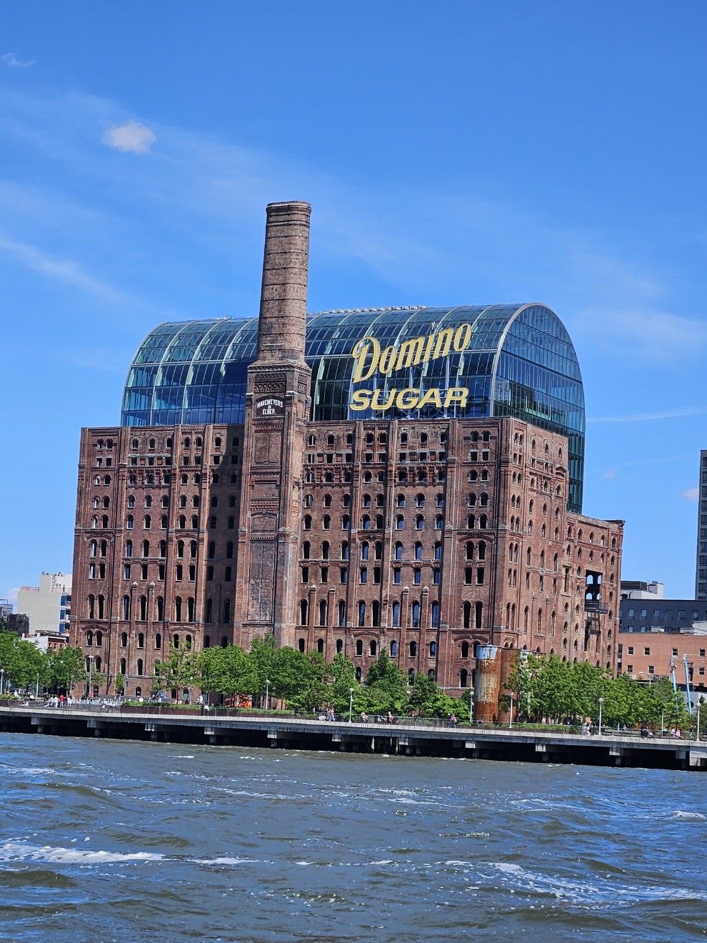
I always photograph this building. I feel like I’ve watched the whole project come together. I like it.
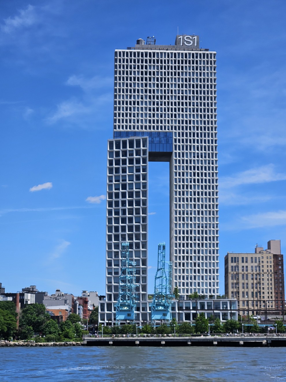
Kinda weird but certainly stands out.
We called up Matt who runs the Port Washington Water Taxi and requested a mooring for a few day.
….and that brings us back to:
Port Washington, NY
So after 2000+ words we’re back to where this started. Today is cold and rainy. We’ve eaten. I’ve typed. Lynne has painted. The woodstove warms the boat. Most of the nor’easter has passed us. Bay scallops have been prepared and are ready to be seared along with rice pilaf.
We’ll stay here for a couple days, hopefully fill up with water and diesel fuel, and head further up Long Island Sound. Evergreen should be back on her mooring in Dartmouth soon.
View off the back porch. A gloomy day in Port Washington.