Chesapeake City to Swan Creek – Rock Hall, MD

We could have stayed in Chesapeake City another day. I could live off of the pizza and beer at the tiki bar. The brick oven pizza was one of the best I’ve had in a while. Dinner and several beers for $35. You can’t beat that! We’ll be back.

Army Corps of Engineers survey vessel

The view leaving the harbor

We headed down the C & D (with the current) into the Elk River. We actually had favorable currents all day. The scenery along the Elk was nice. A few houses. Mostly a very rural area.

We then headed out into the Chesapeake Bay. The bay greeted us with a perfect wind. I shut down the engine, hoisted all sail, and we flew down the bay. It looked like rain all day, but other than a shower in the morning, we stayed dry.

We ended the day at Swan Creek.

It’s a well protected anchorage. The bottom around here is a kind of gluey mud. Catalpa is looking pretty rough right now. I dump buckets of sea water on her deck every morning but the anchor gear keeps bringing up more goop.

The plan was to go into town (Rock Hall) but I think we’re going to push on tomorrow morning. Dinghy access to town is not good. We’ve been running low on provisions since Atlantic City but in a couple days we’re going to be in a spot where we can do a big resupply.

We were going to stop in Anapolis (a sailing mecca) but the Annapolis boat show is this weekend. We were informed by another cruiser that if we didn’t get there a few days early, we’d never get a mooring. Oh well, we don’t need a second boat. Maybe we’ll get over there on the return trip.

Going with the flow (and against it)

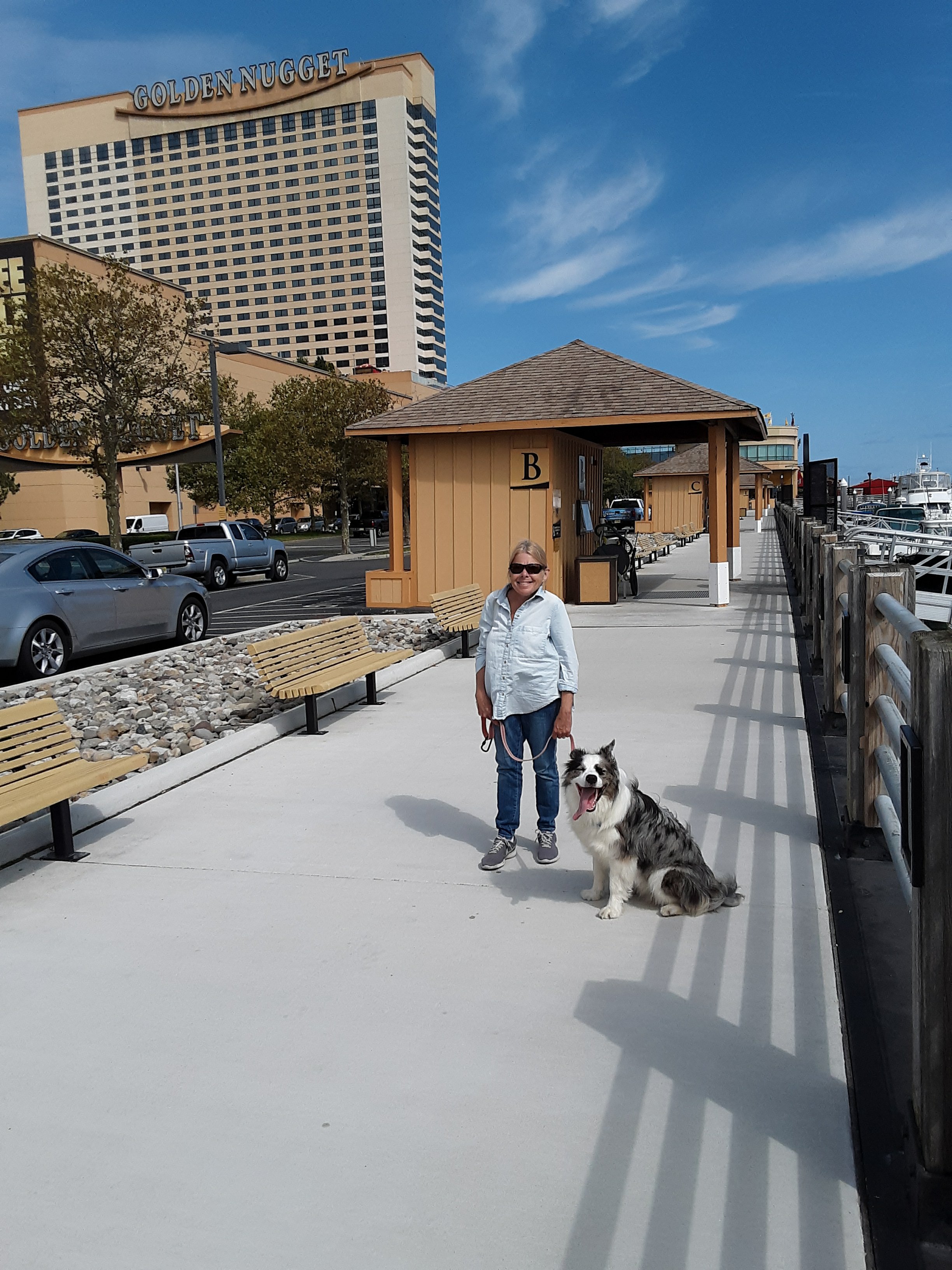
October 4th Atlantic City and Brigantine, NJ

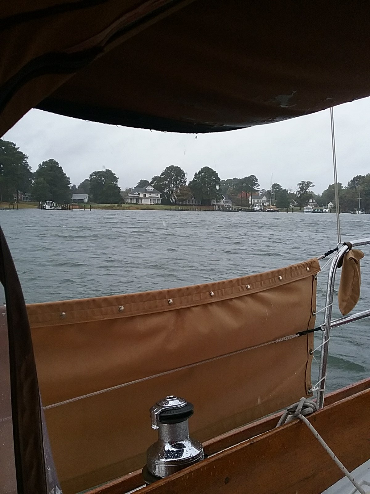
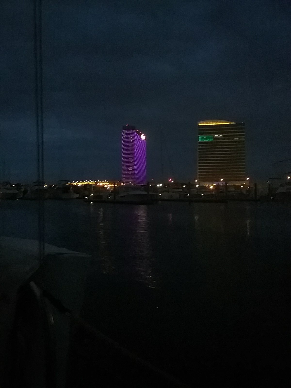
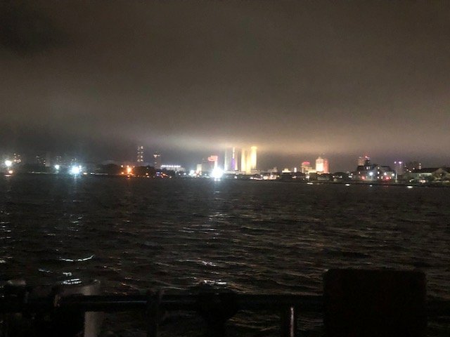
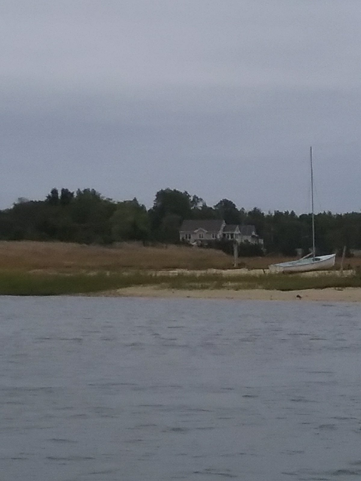
We headed out of Atlantic City to anchor in the Absecon Inlet where we had anchored previously. The winds were blowing at 30 knots so we felt it was a bad idea to venture out into the ocean. Absecon was also bad. I launched the anchor but due to current and wind there was a lot of chop. Catalpa wouldn’t point right. The town opposite to AC is Brigantine. According to my charts, there was a completely protected pond with a narrow/ shallow entrance right near us. We pulled the hook up and cautiously entered the Rum Point Basin. It was a little like threading a needle but we were treated with a quiet protected spot to spend the night. We could once again see the stars as we were away from the lights of AC. Back to nature. I’m sure we’ll be back to Atlantic City one day but I hope our stay is short.

Goodbye AC

October 5th Rum Point Basin NJ to Cape May NJ

This was a tough decision. This was the last day of Northerly winds before they would clock around out of the south. There was a small craft advisory in affect but the wind would drive us down the coast. We went for it. The waves varied between big and very big. It was a bouncy day. No autopilot today as the large following seas would easily overpower the helm. I had to surf the waves all day.

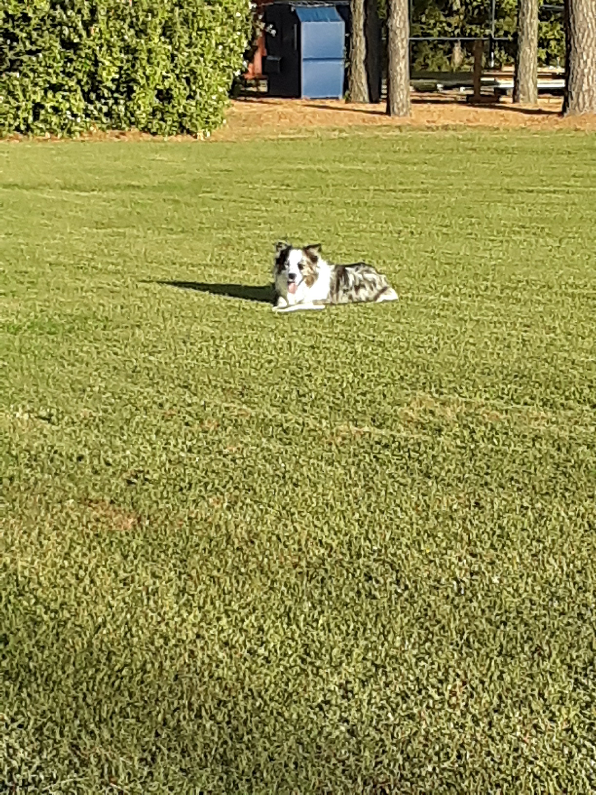
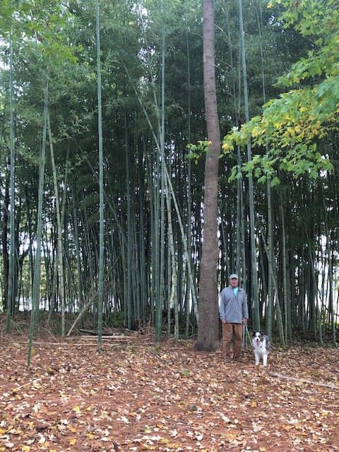
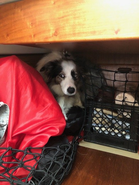
We have a cargo area up in the bow of the boat. It has bedding, clothes, fishing tackle, charts, art supplies, etc. This jumble is all held in with cargo netting. When Ollie is stressed this is where he nests.

Ollie- “are we there yet?”

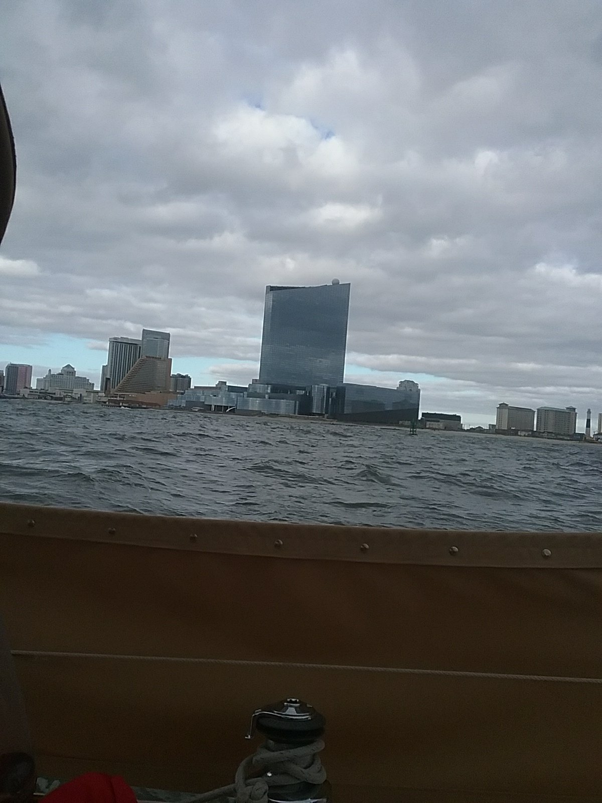
We made it into Cape May. Captain and crew were glad to be out of the heavy seas for the night.

October 6th Cape May, NJ to Cohansey River, NJ

We really wanted to spend the day in Cape May but it wasn’t to be. According to my Eldridge Tide and Pilot we needed to catch the current and wind up the bay. We would have bad timing on that soon. The current and tides change about an hour every day. This is compounded by the fact that the days are getting shorter and we are trying to avoid traveling at night.

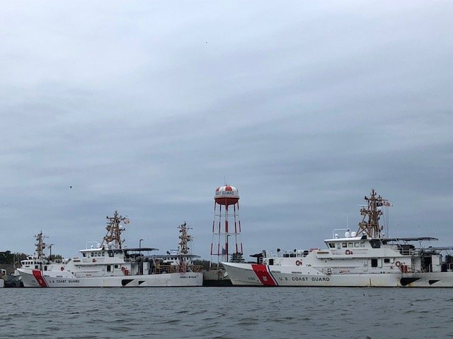
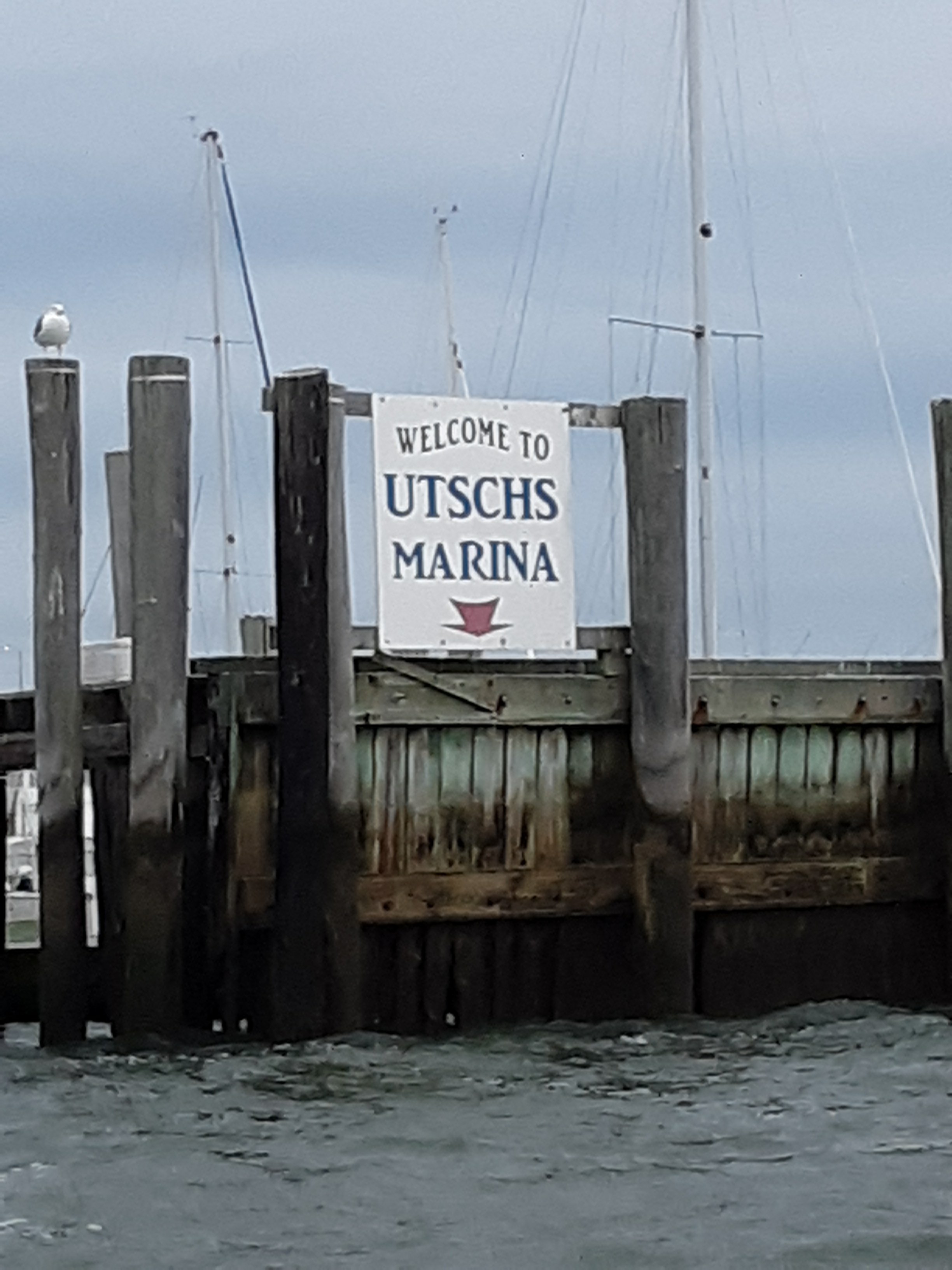
We also needed some supplies. I arose at dawn and brought Ollie in for a “commando raid” at the beach. We then headed up Cape May harbor (in our trusty dinghy) to Utsch’s Marina. We needed gasoline for the Honda (dinghy motor), ice, and bread. Ironically, I can’t seem to find a packy (New England speak for liquor store). Booze is in short supply. There is a large Coast Guard base in Cape May. They played The Star-Spangled Banner while we passed by as they were raising the flag.

Some tough looking cutters
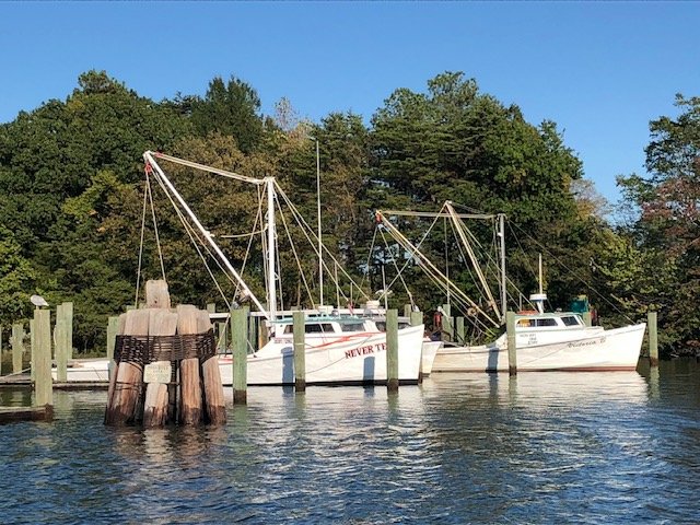
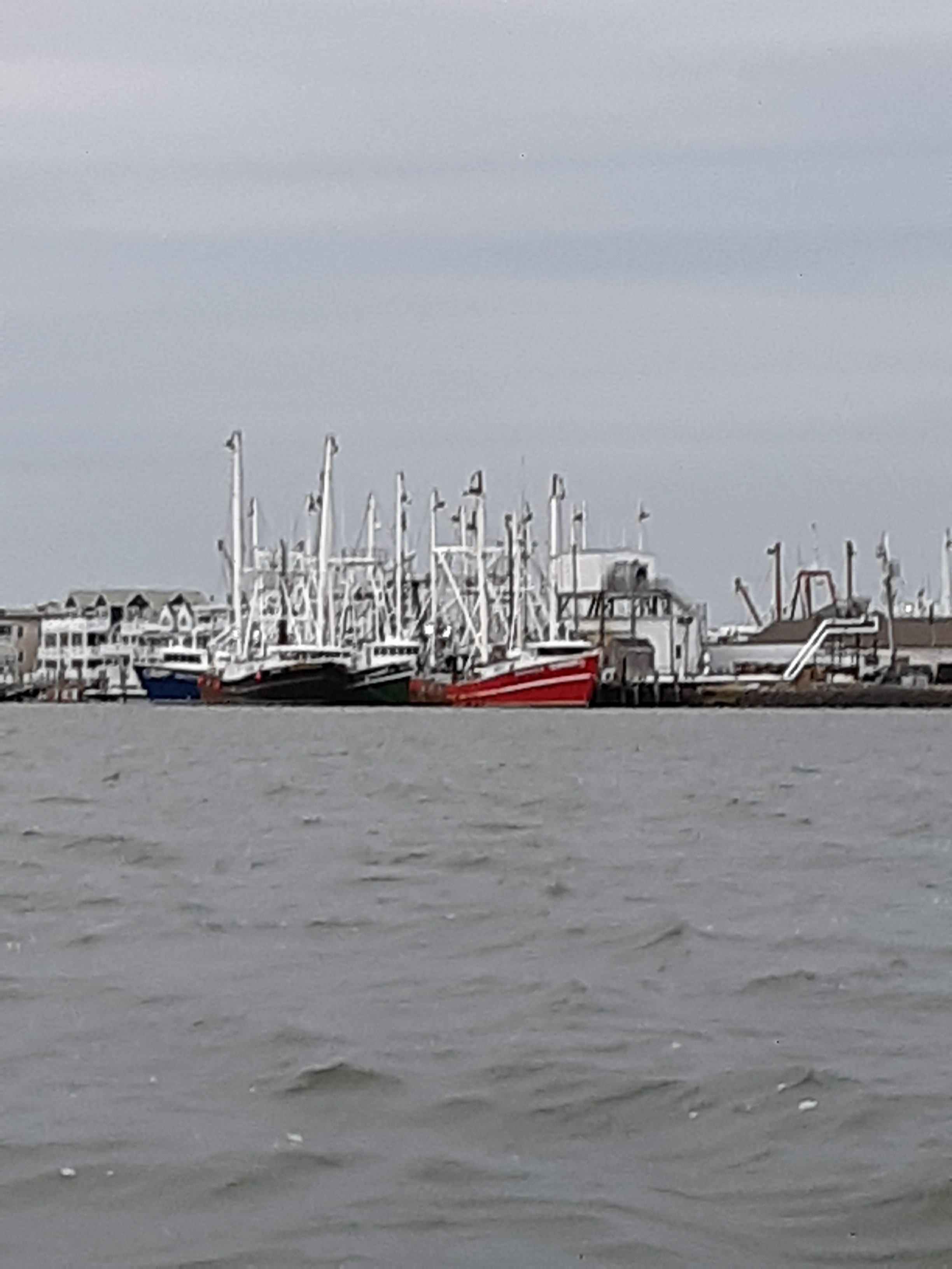
Fishing fleet

Finally at Utsch’s

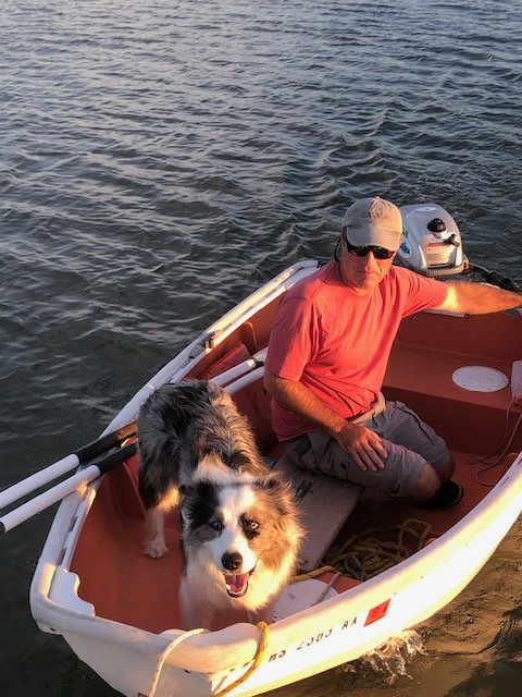
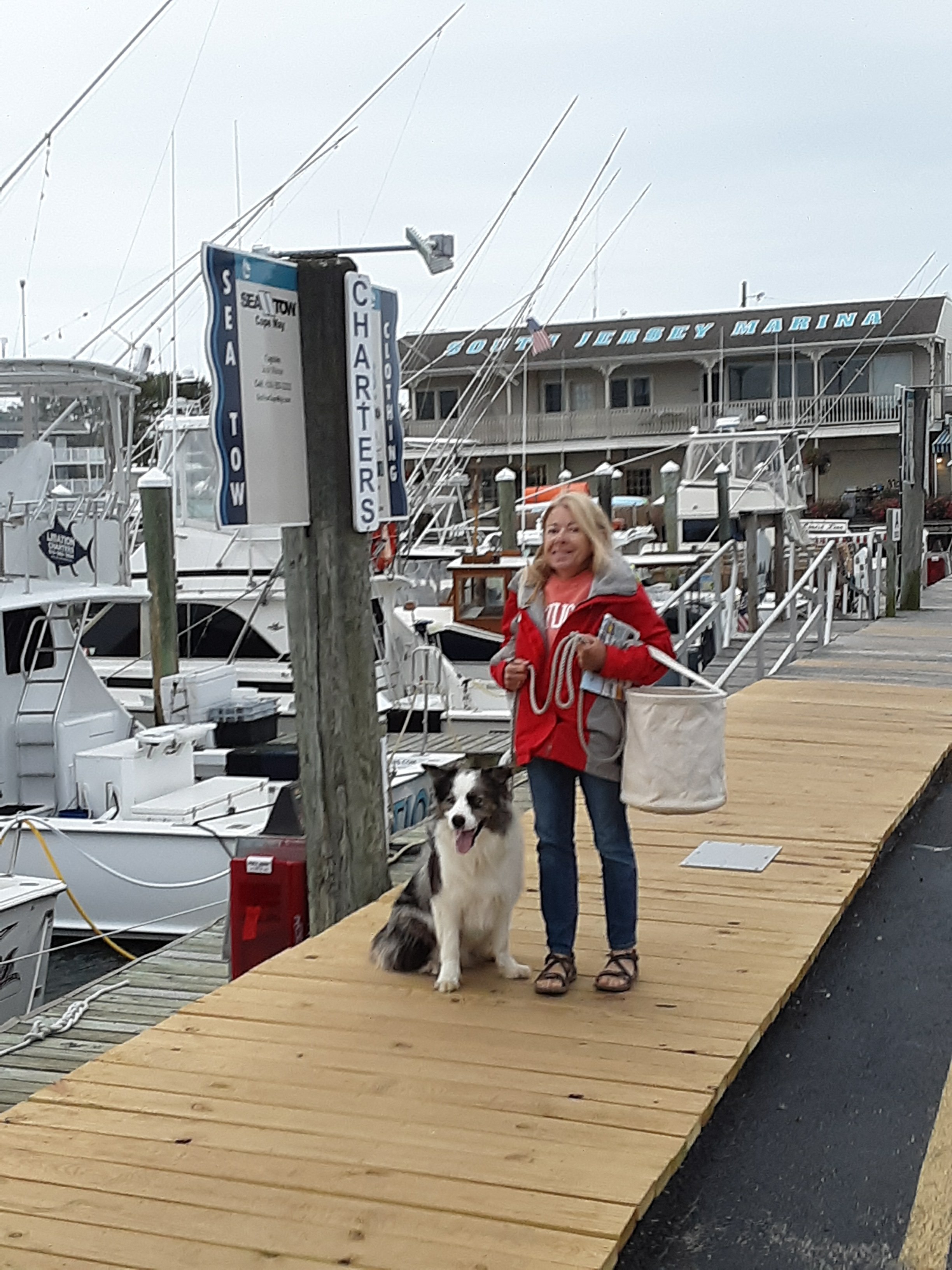
Crew happy to be back on land for provisions.

Provisioning complete, we hauled up the anchor at 10:45 to start the days journey.

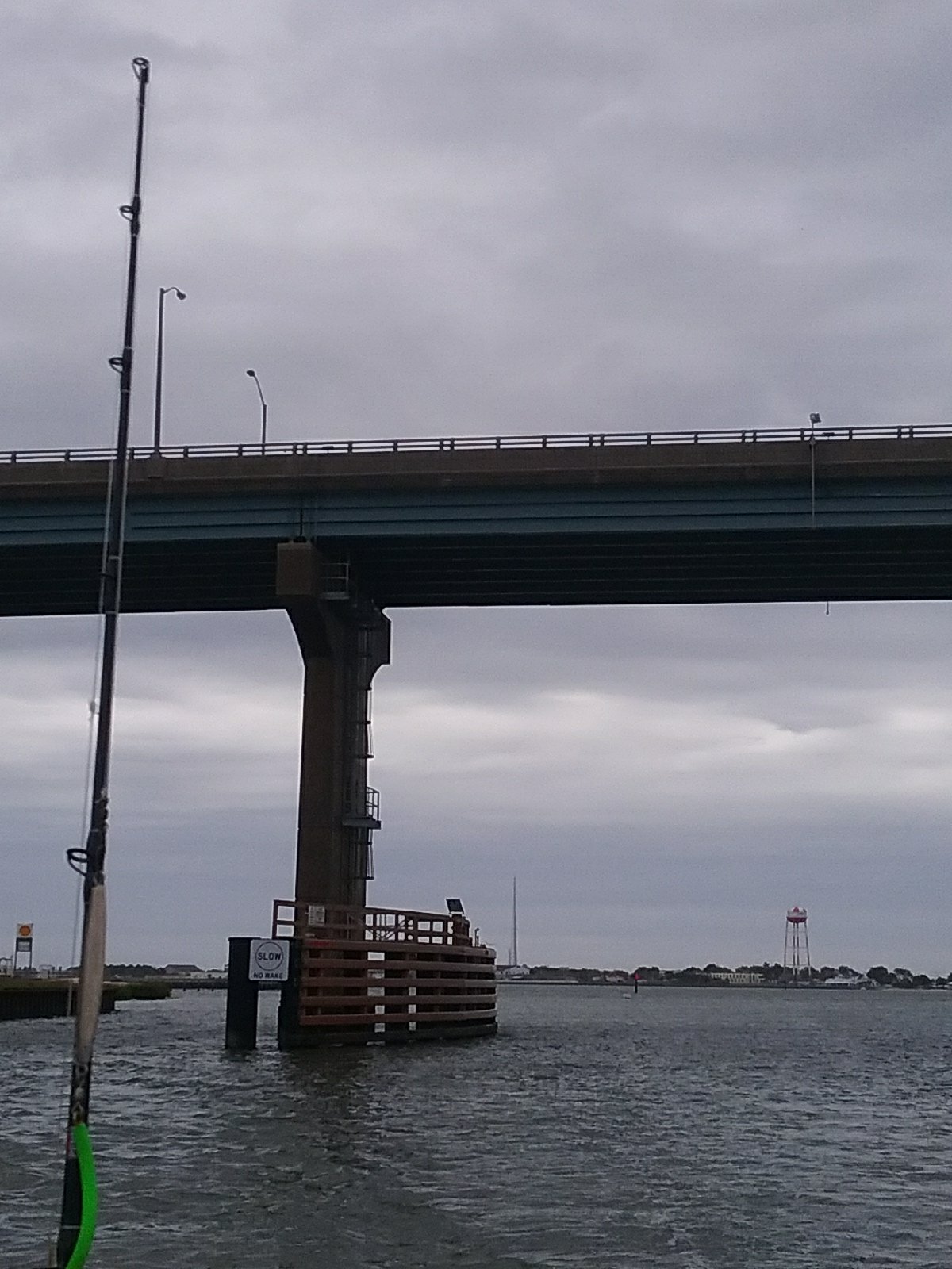
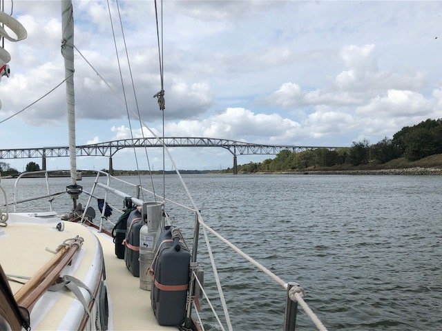
Catalpa headed down the Cape May canal to get into the Delaware Bay. It was a short scenic route with a 55′ bridge to go under. Our mast is only 41′ so no problems there.

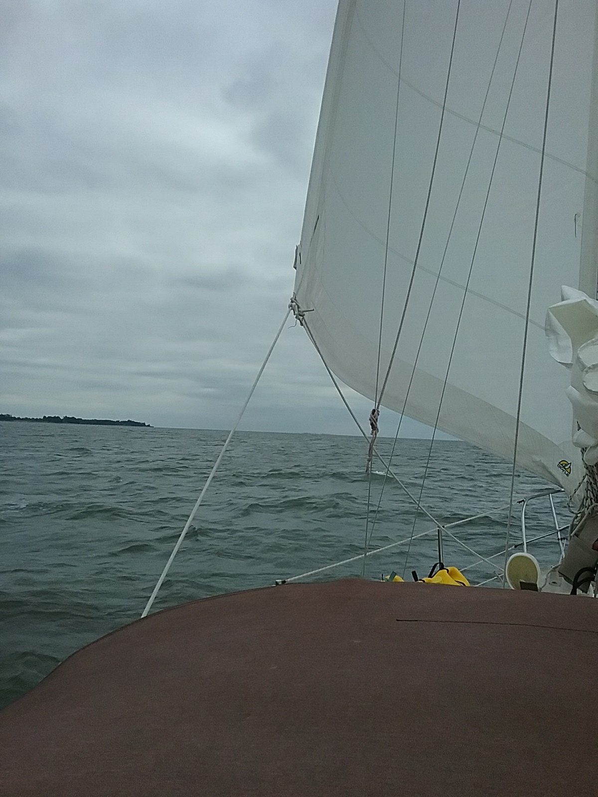
The Delaware bay was rough when we started out but calmed down as the day progressed. It’s a big bay at the mouth. For most of the day we had grey skys, grey sea, and no shoreline. With the exception of a few distant barges we saw no one. The Pink Floyd lyric – Is there anybody out THERE? – occurred to me a few times during the passage.

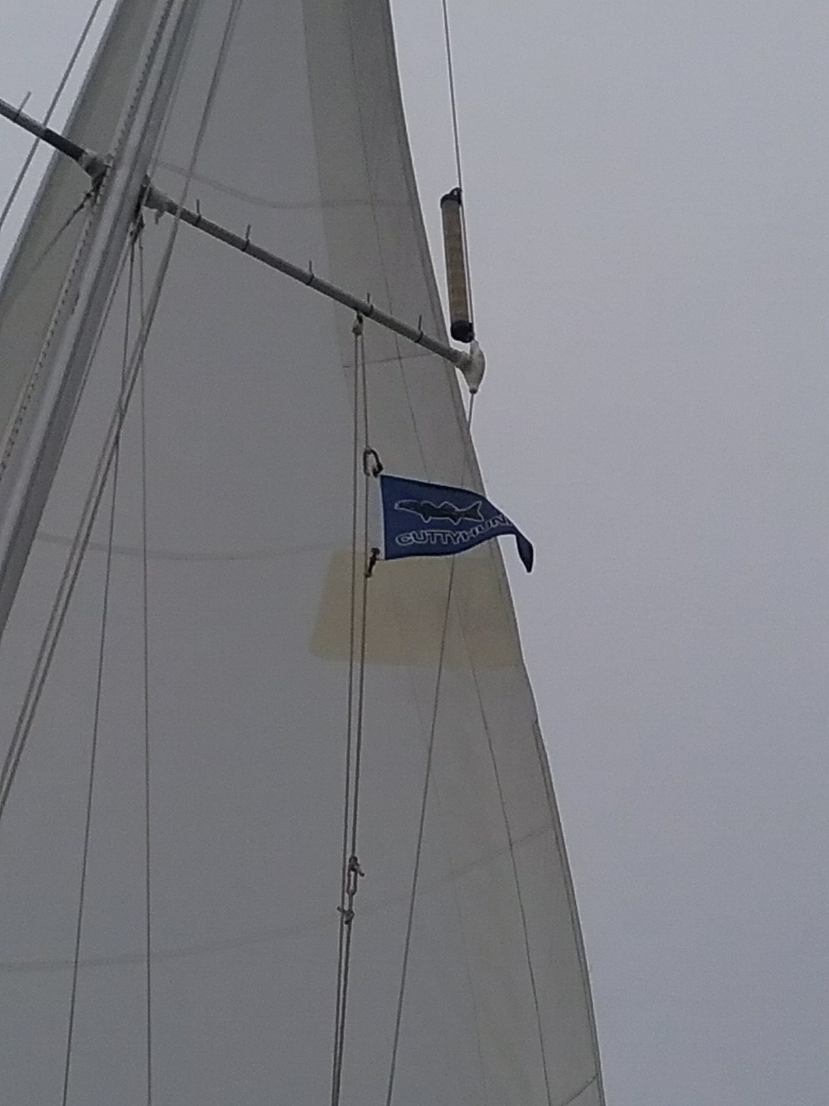
We fly a naval ensign off the stern of Catalpa. Since we don’t belong to a yacht club I had no flag (burgee) on the mast. Last year we bought a Cuttyhunk Island burgee. So that’s our yacht burgee. Maybe we’ll get a Key West flag someday.

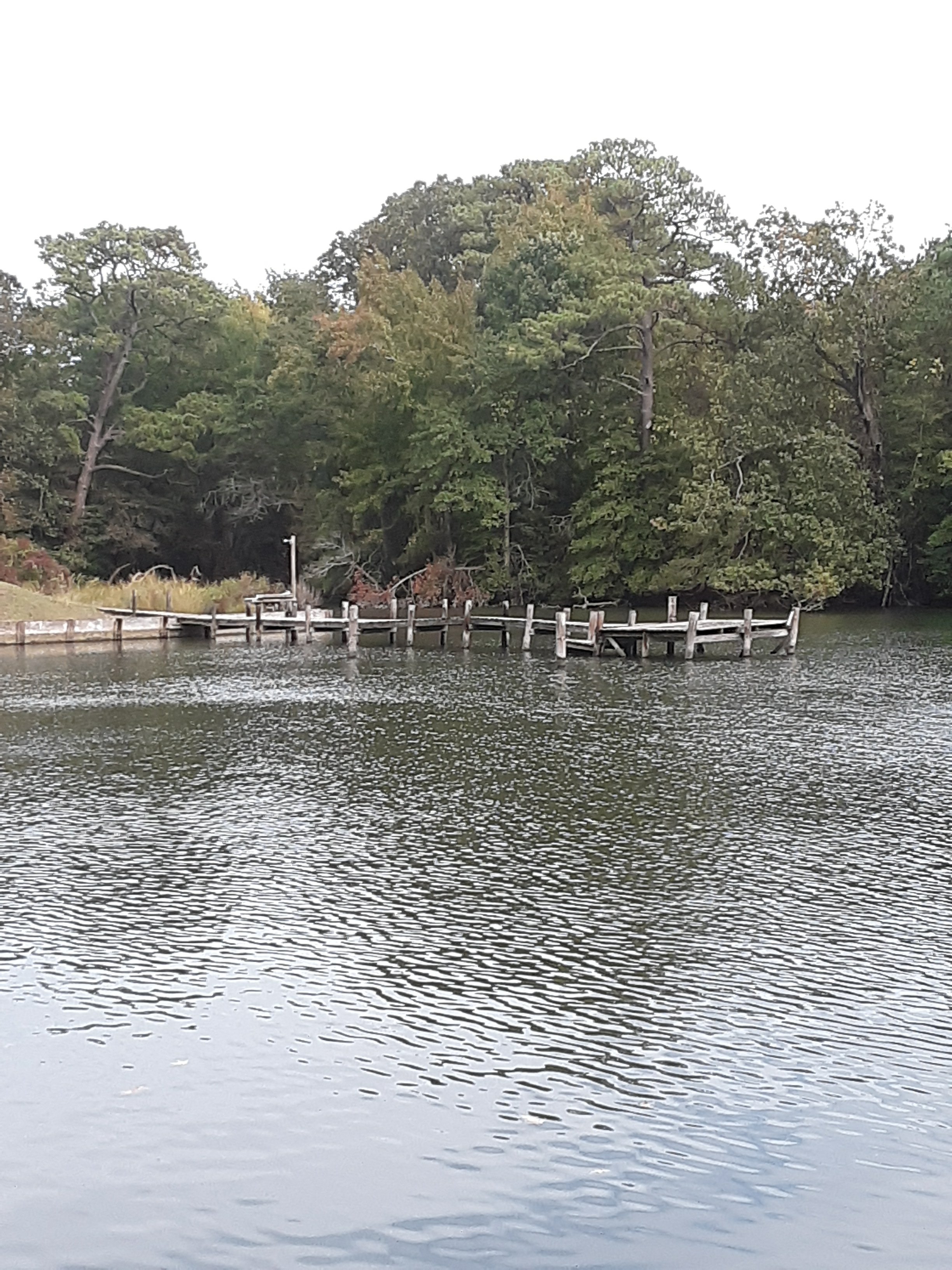
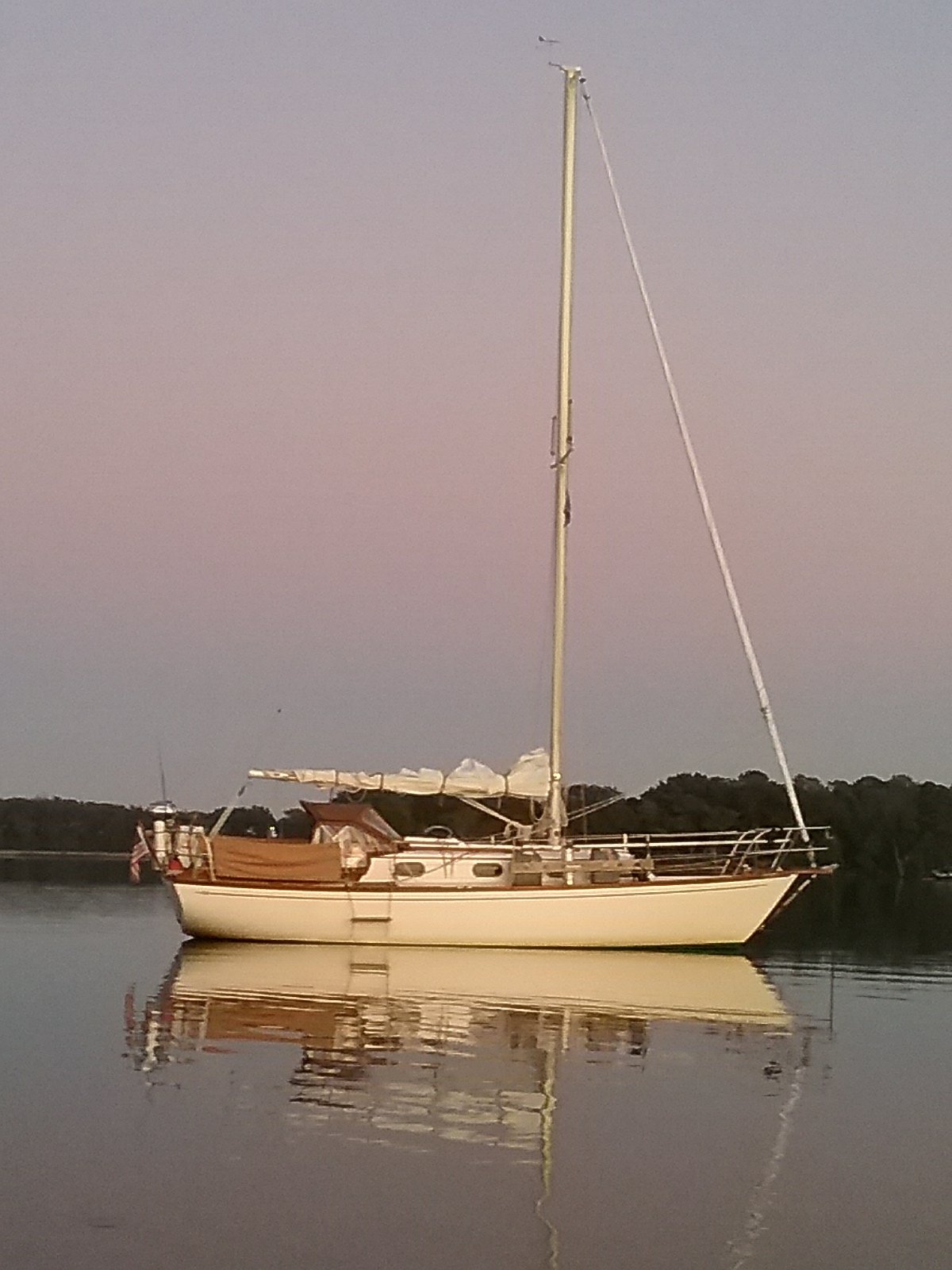
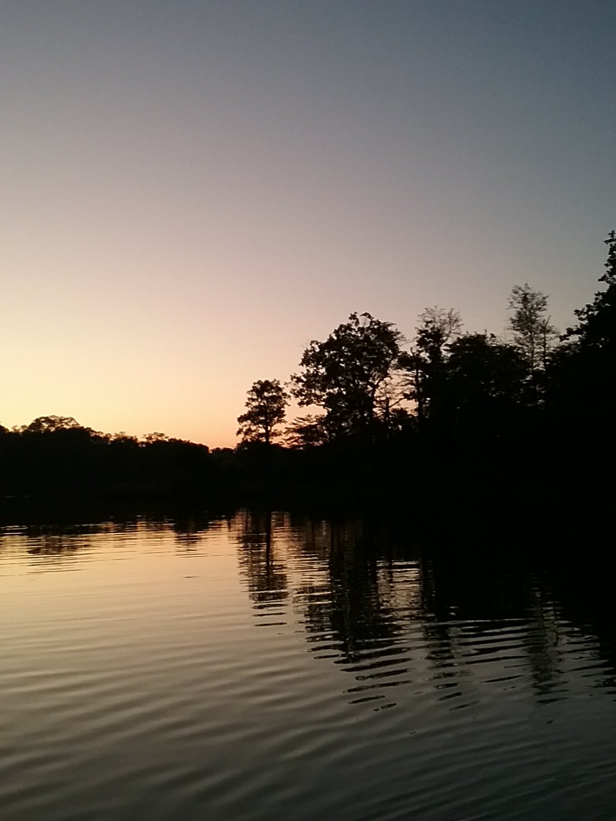
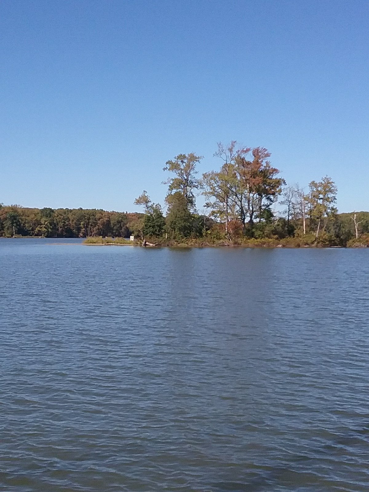
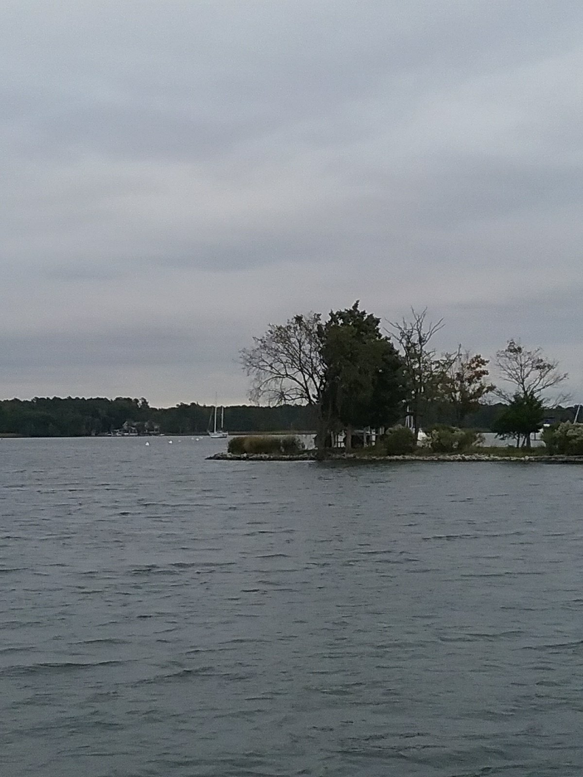
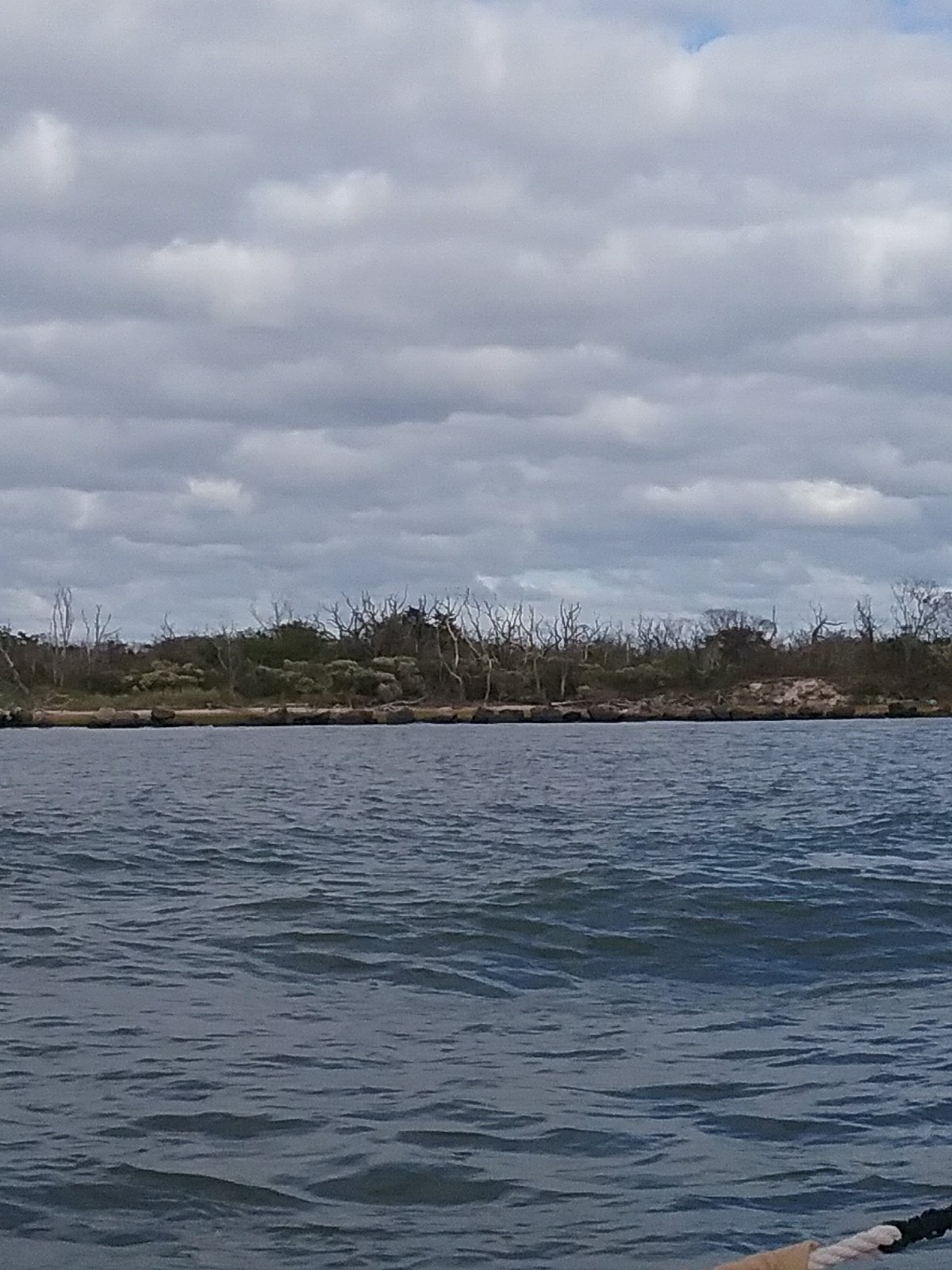
We arrived at the Cohansey river and anchored between its entrance and a small island. We were surrounded by tall marsh grass. It seemed to be a very remote location. There was a tiny beach on the island with a “party hut” built out of driftwood and scraps. Obviously it had gotten some recent use as there was a grill and a garbage can, filled with beer cans. Unfortunately, no buried treasure. I’m not sure how I would know that, assuming it was buried. It was another quiet night. There may have been another boat anchored further up the river but we didn’t see anyone.

October 7th Cohansey River, NJ to Chesapeake City, MD

We headed up the Delaware Bay again today. Interesting note, we are actually heading north to go south. We’ve discussed what our total mileage on this trip was going to be but I was actually never sure of the total. I’ve driven down to Florida and I think it’s around 1200 miles. I was thumbing through one of the cruising guides and found a page with some approximate port to port distances along the ICW. I pulled out the calculator and from Buzzards Bay to Miami is 1700 nautical miles (2000 statute miles). We travel at 5 miles per hour.

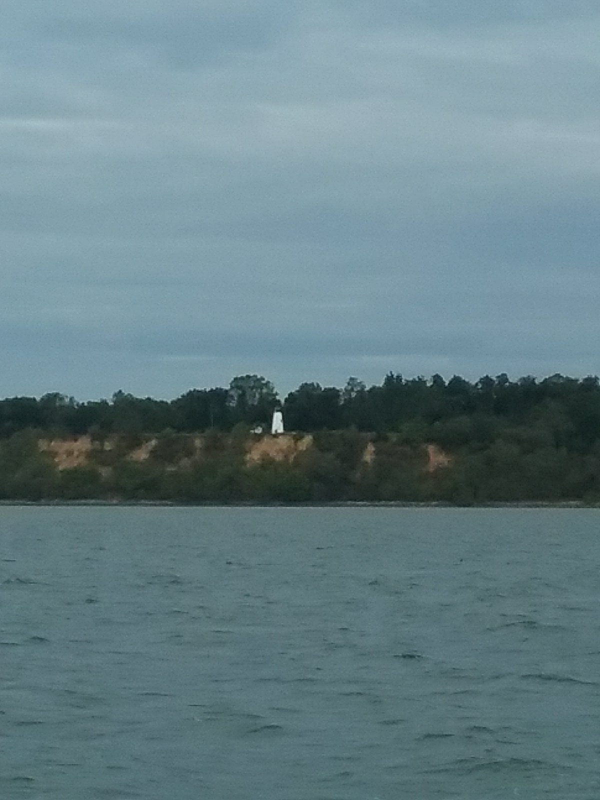
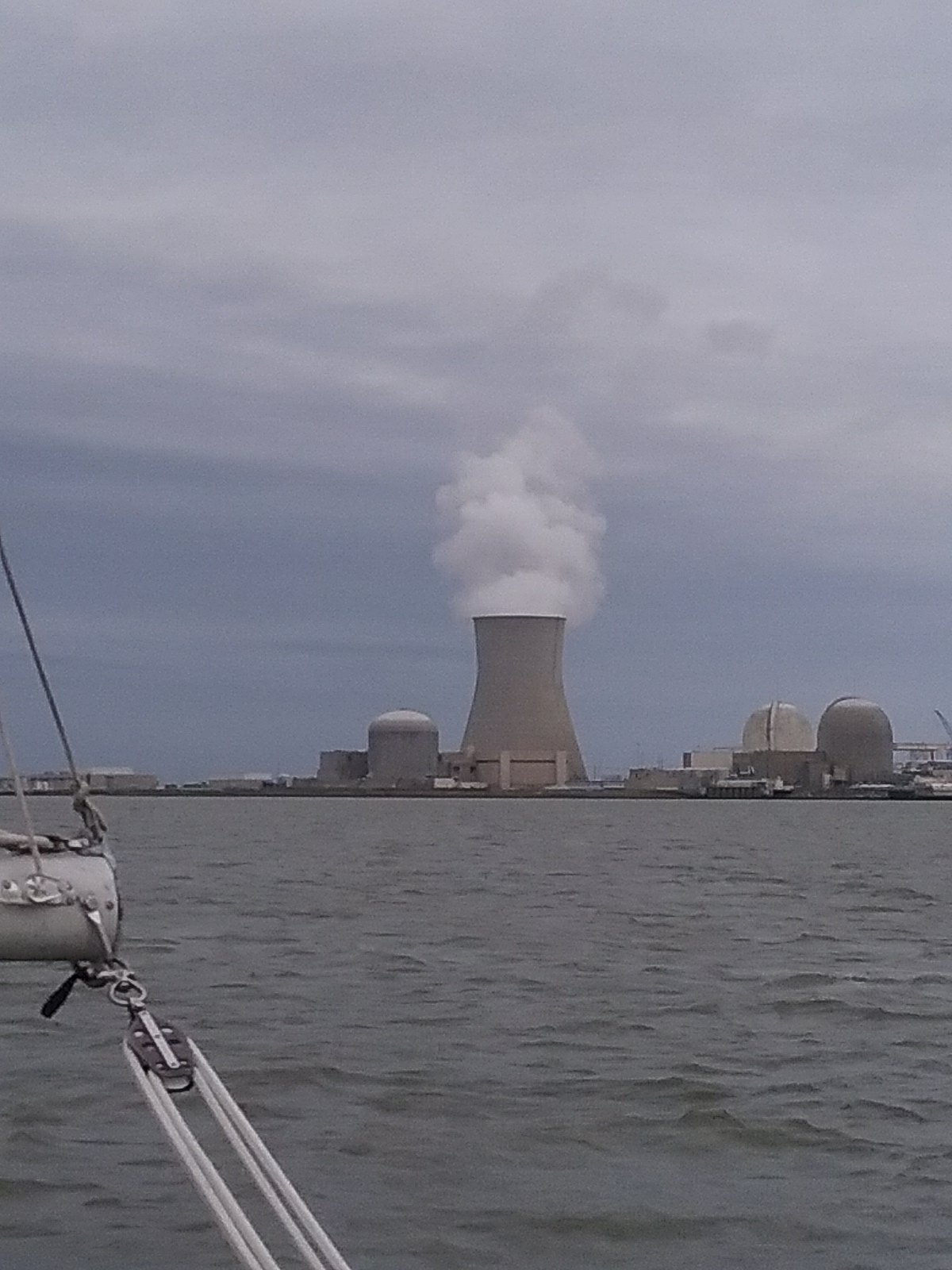
I was aiming at this for the first 3 or 4 hours. It’s the Salem nuclear power plant. This picture is for Ted if he’s watching.

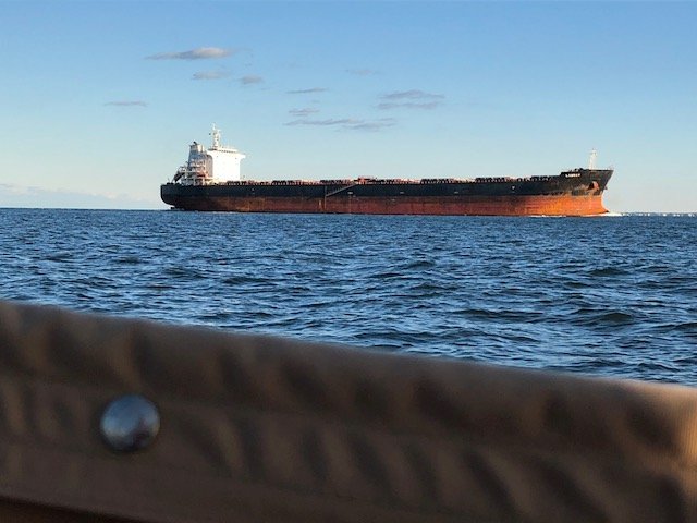
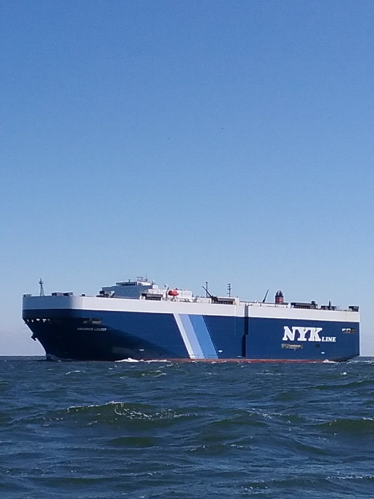
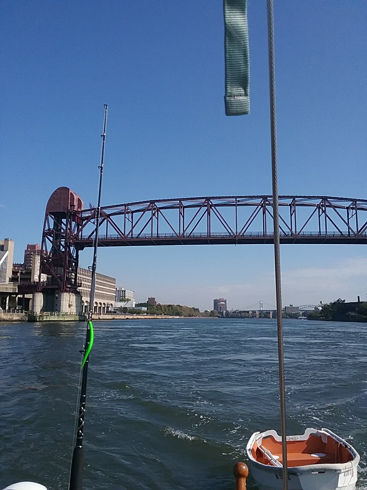
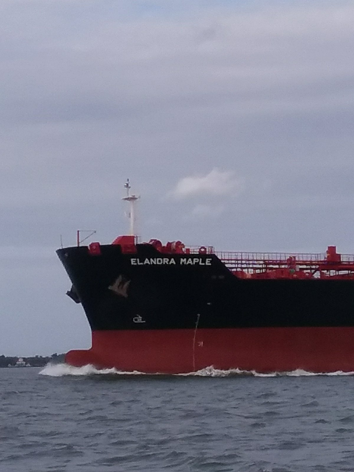
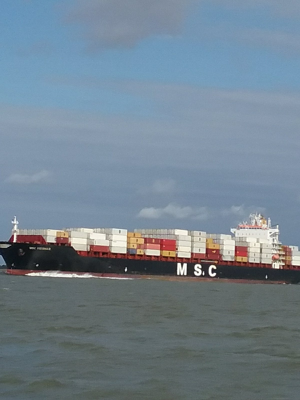
Further up the bay the Delaware narrows (it’s a river) and there is a lot of shipping coming out of Philadelphia.

“Are we there yet?”

We avoided all big boats.

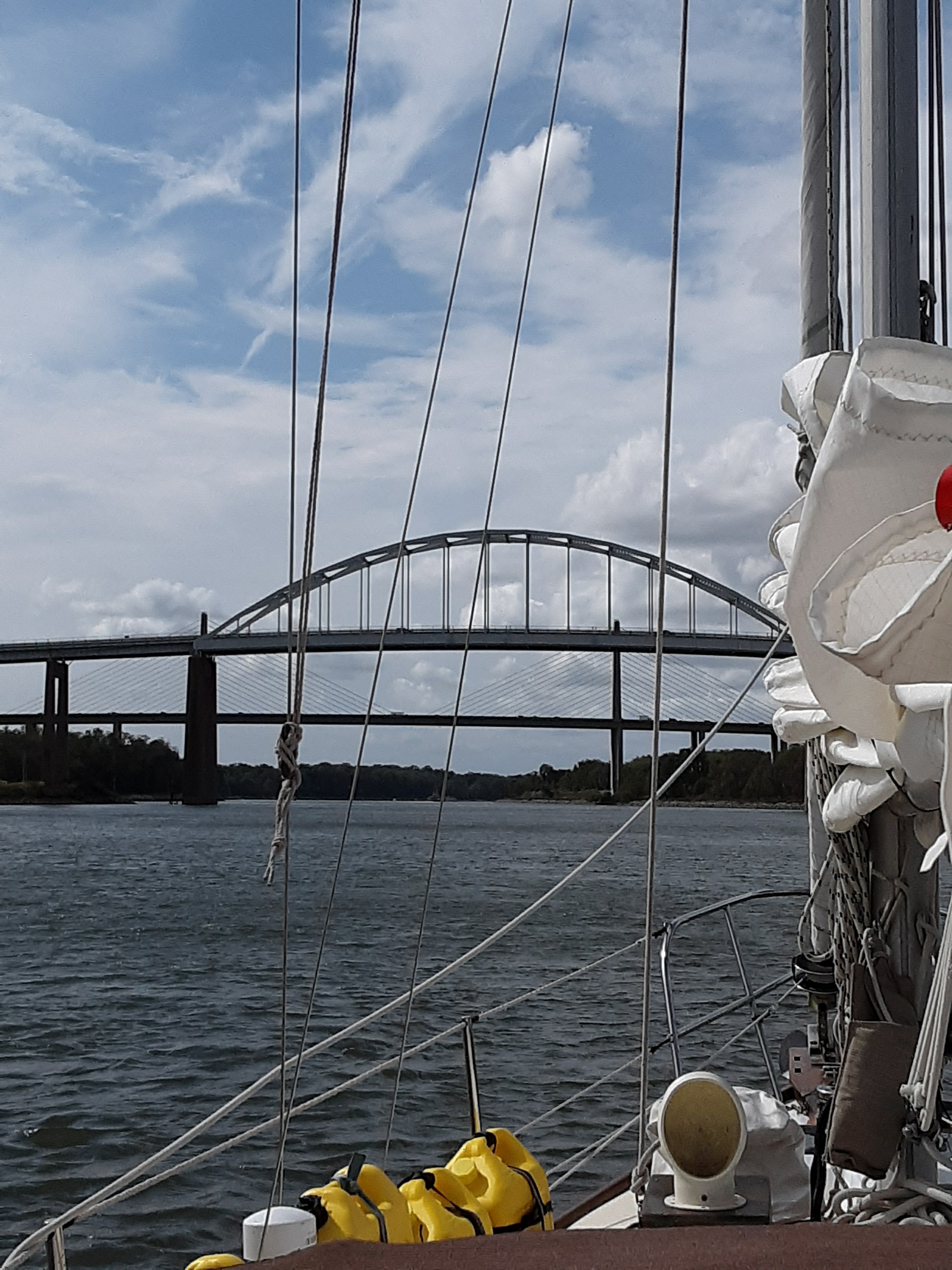
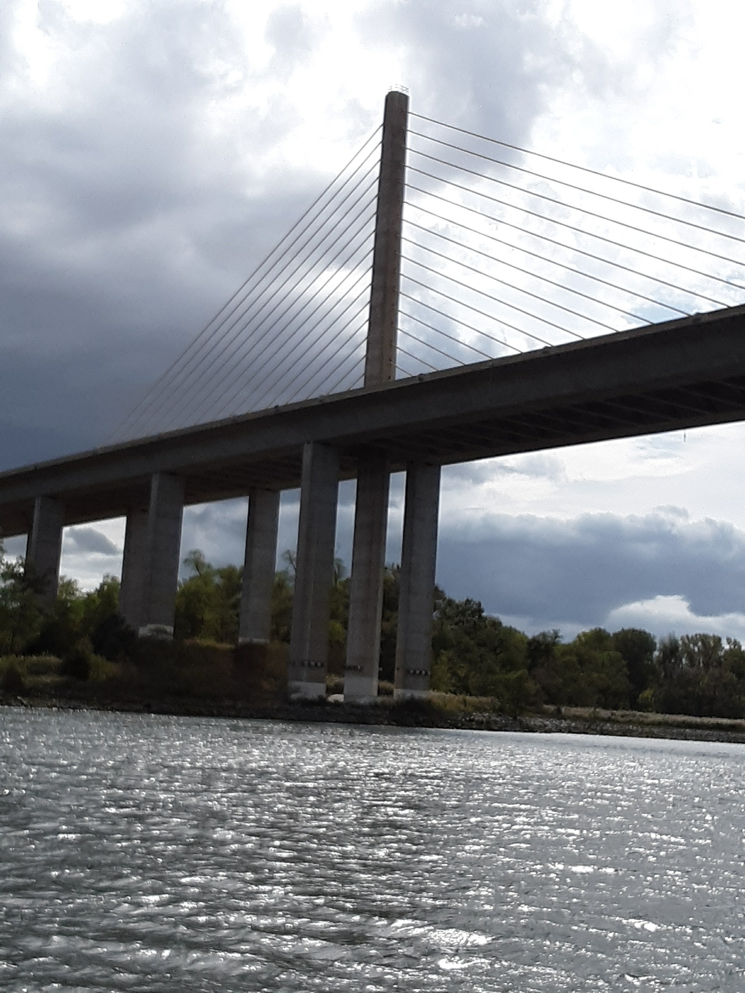
We finally arrived at the C & D Canal. This canal goes between the Delaware and Chesapeake Bay. I managed to catch a mostly favorable current up Delaware bay. This was not to be the case for the C&D. My Eldridge Time and Pilot said we’d have a favorable current in the canal for an hour. This means we’d travel at 7 knots for an hour and the remaining 5nm would be against the 2 knot current, not bad. Apparently, Eldridge was wrong. Maybe it’s because it’s based out of Boston? The current was against us the whole way. Over 4 hours to travel 12 miles. Next time I’ll be more careful about the canal.

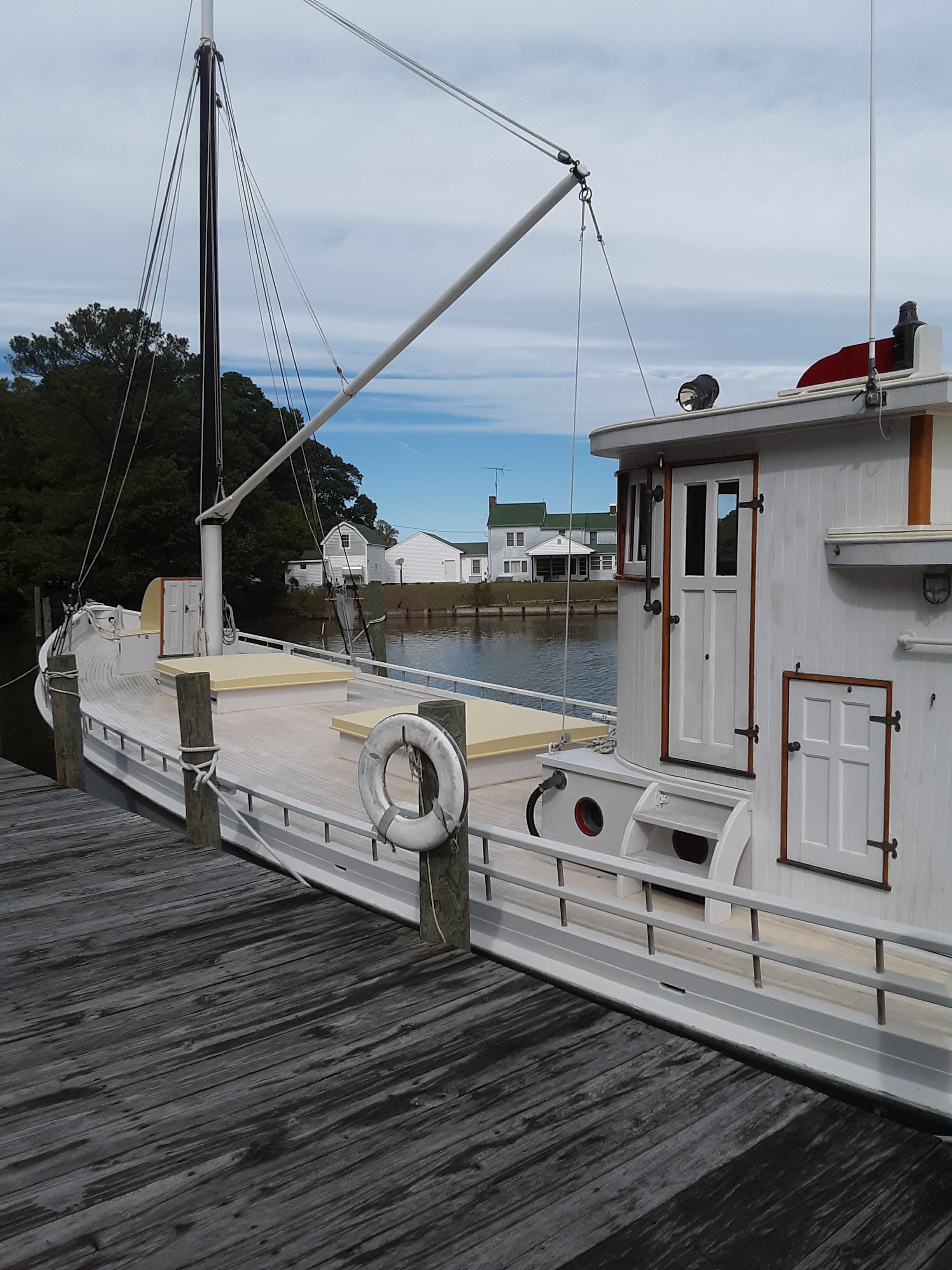
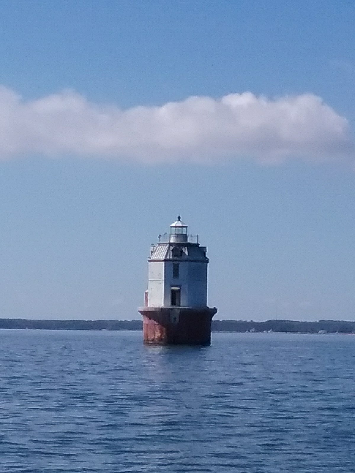
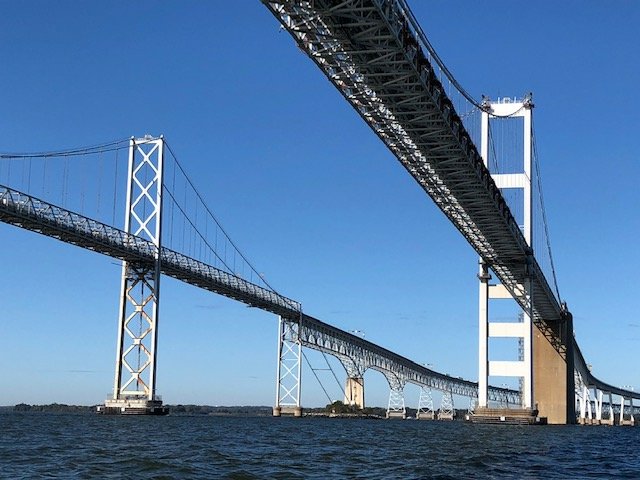
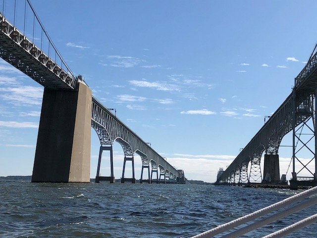
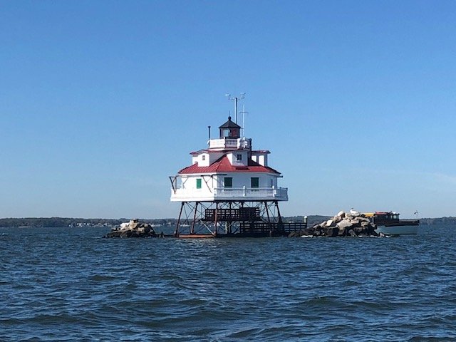
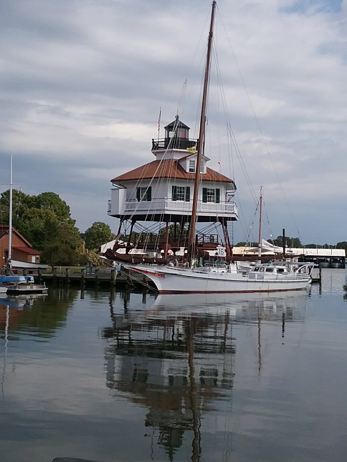
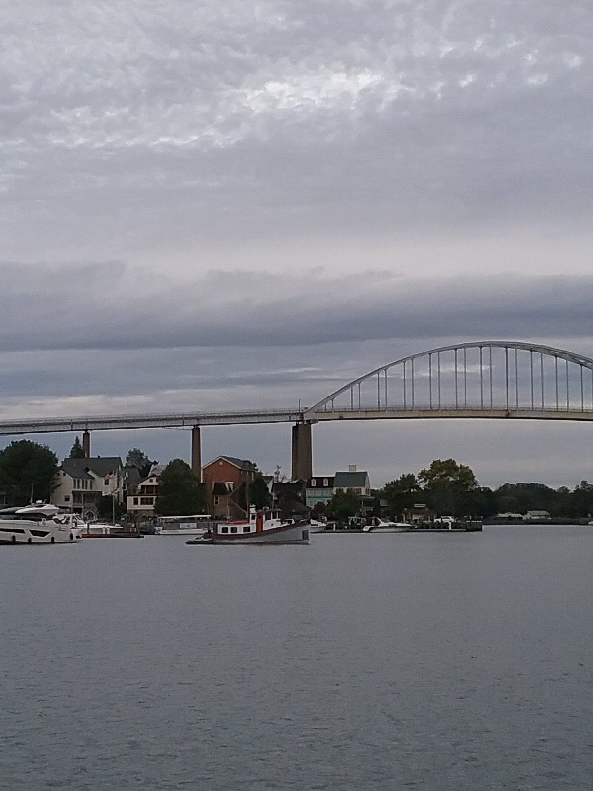
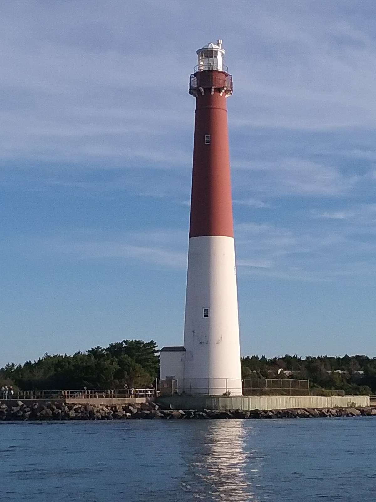
A few more bridges to add to the list. Lighthouses are more photogenic.

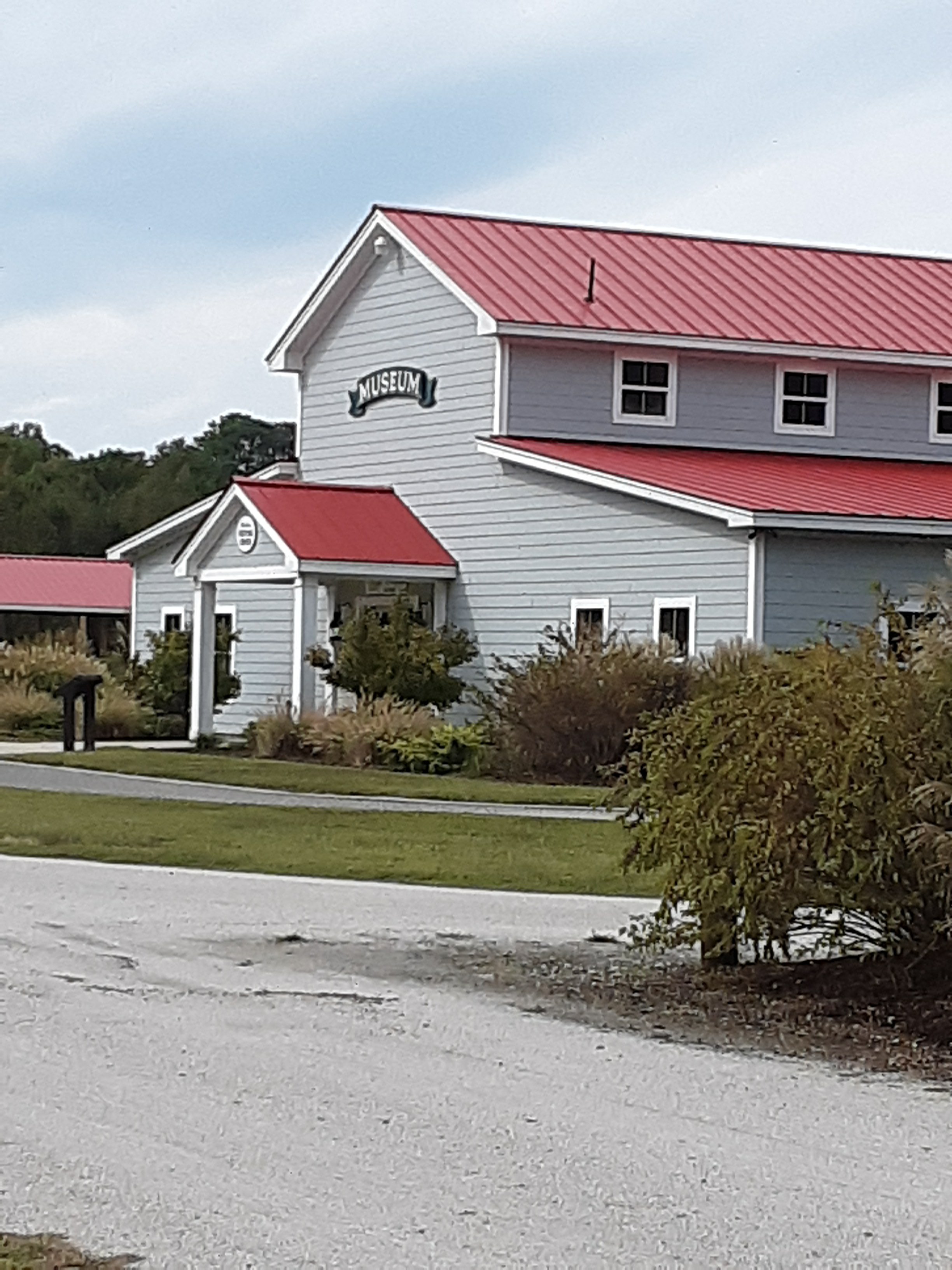
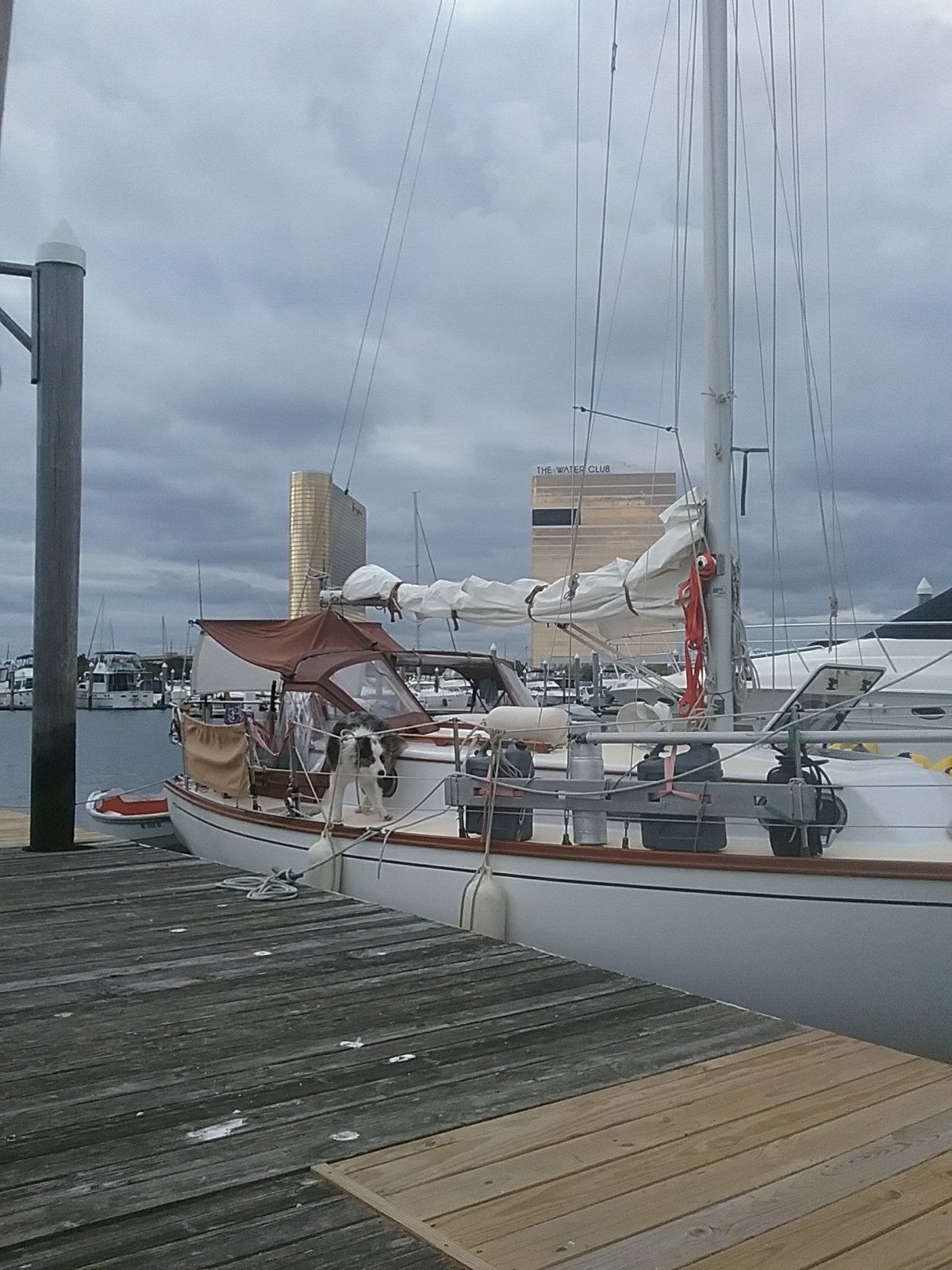
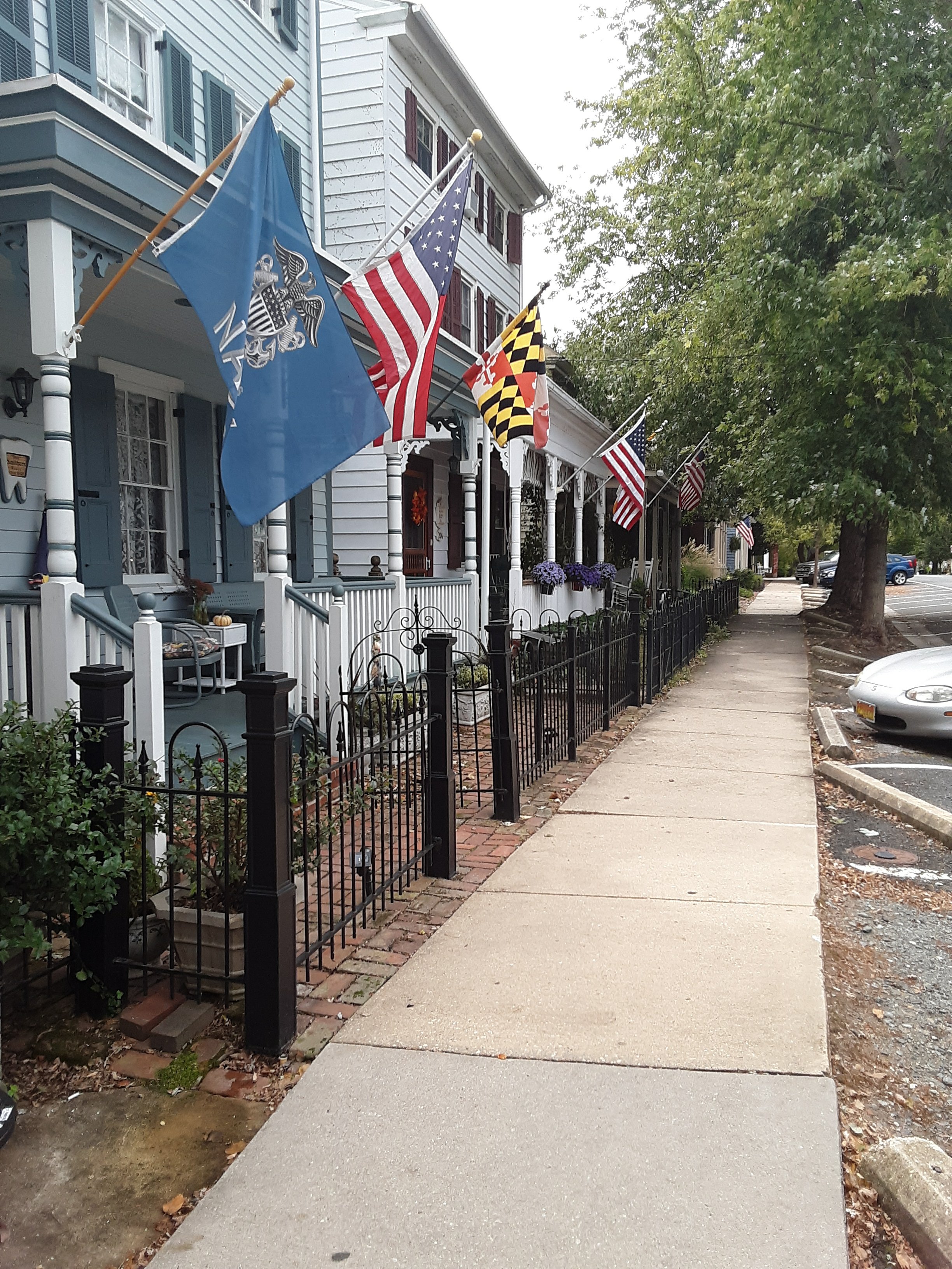
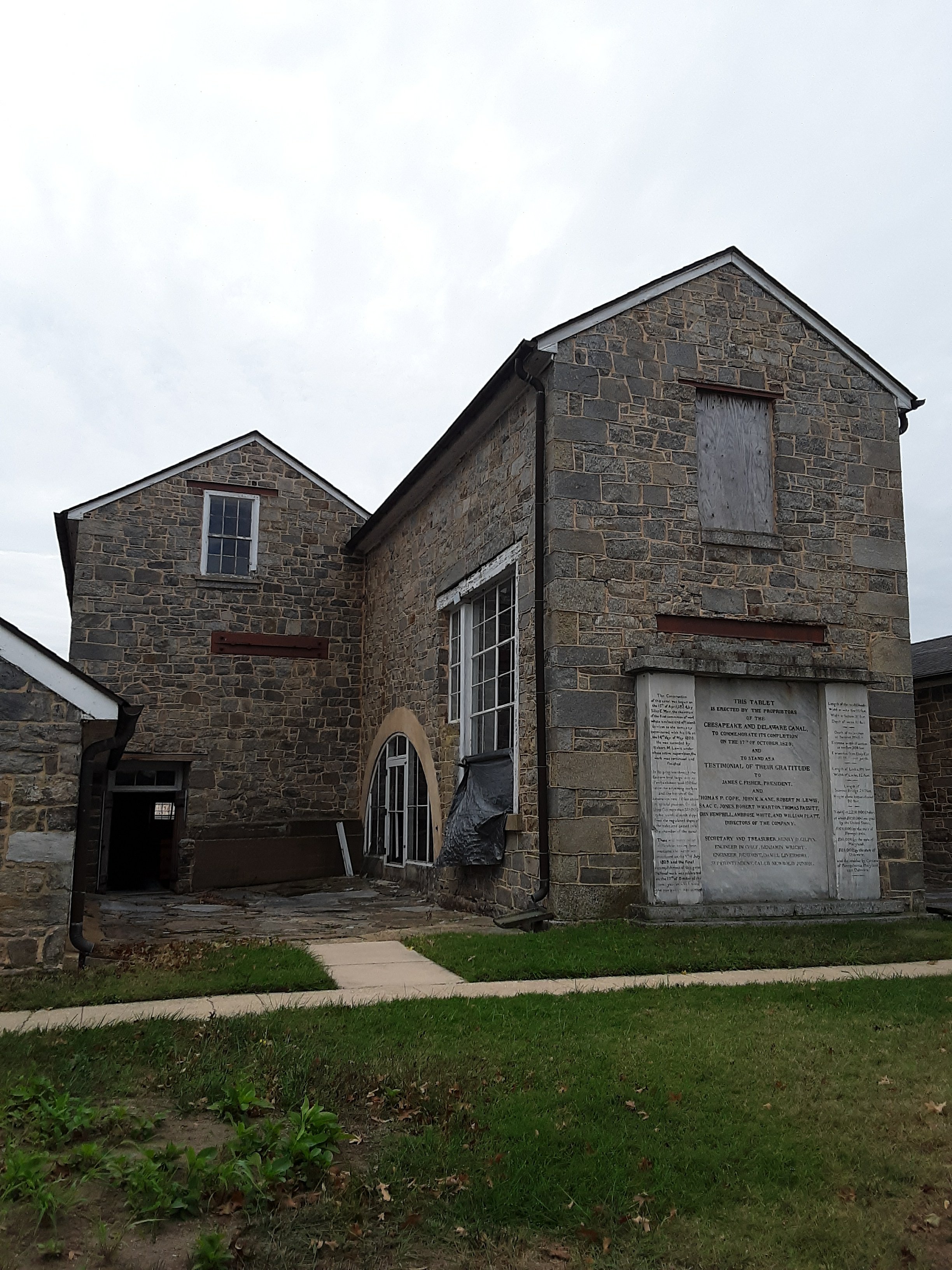
We finally made it to Chesapeake City. It’s a nice little spot right on the canal. The harbor was dug out by The Army Corps of Engineers when they built the canal. The Engineers have a base here and seem busy doing engineering stuff.

It’s like a lake in here so we’re resting up today (Tuesday the 8th). There is a tiki bar at the Chesapeake Inn/ marina. They have a “happy hour ” and brick oven pizza. Dog friendly. That’s the plan for the evening. Last night there were about 10 boats in here, amost all from Canada. Maybe Canadians get sick of the cold too? Tomorrow we move on down the Chesapeake.

Chesapeake City

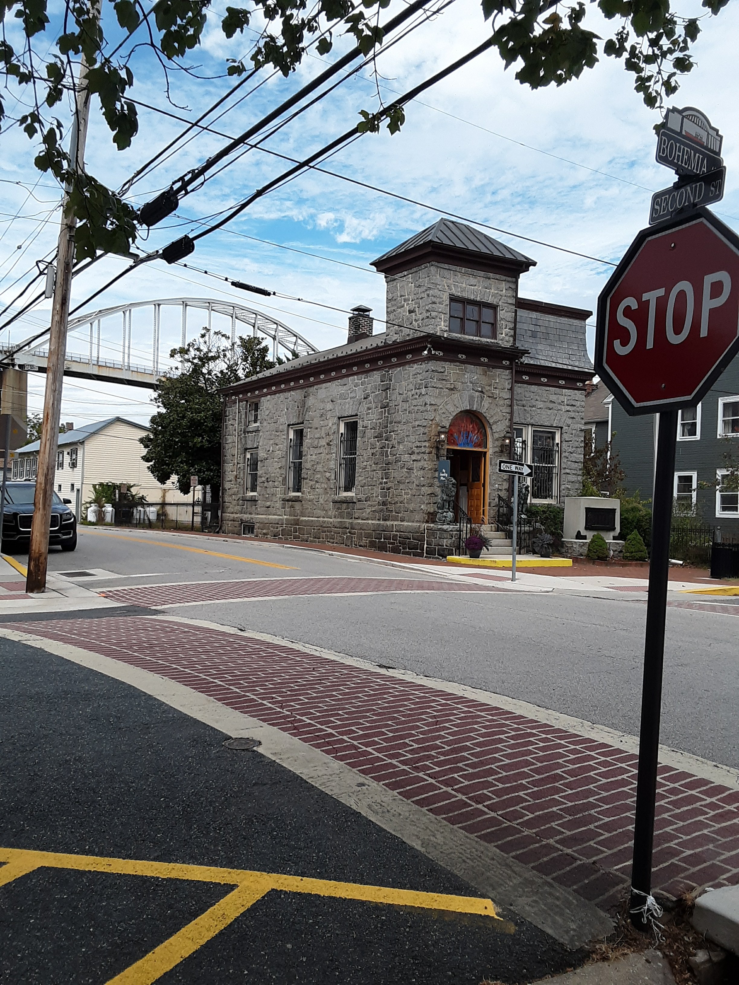
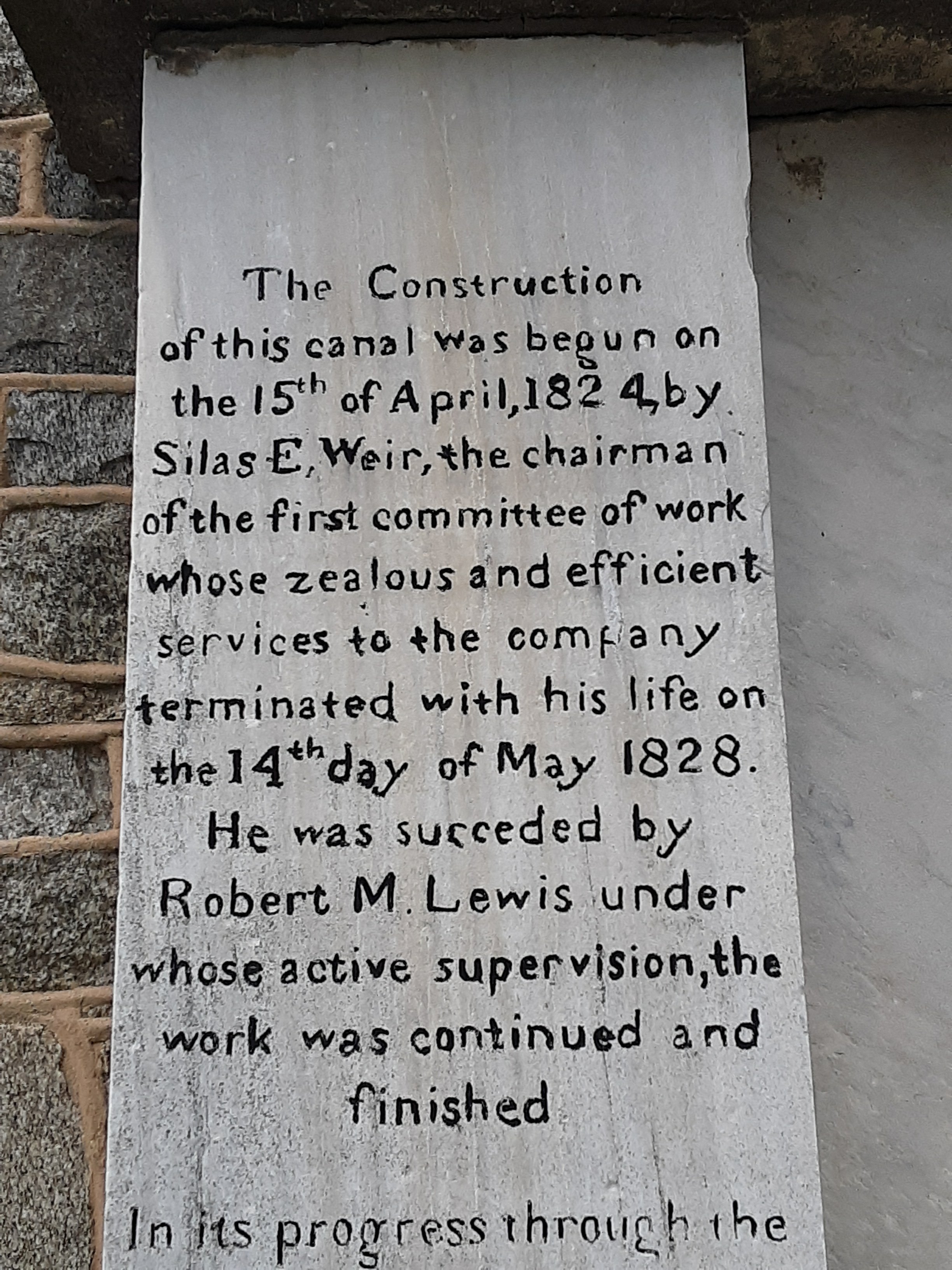
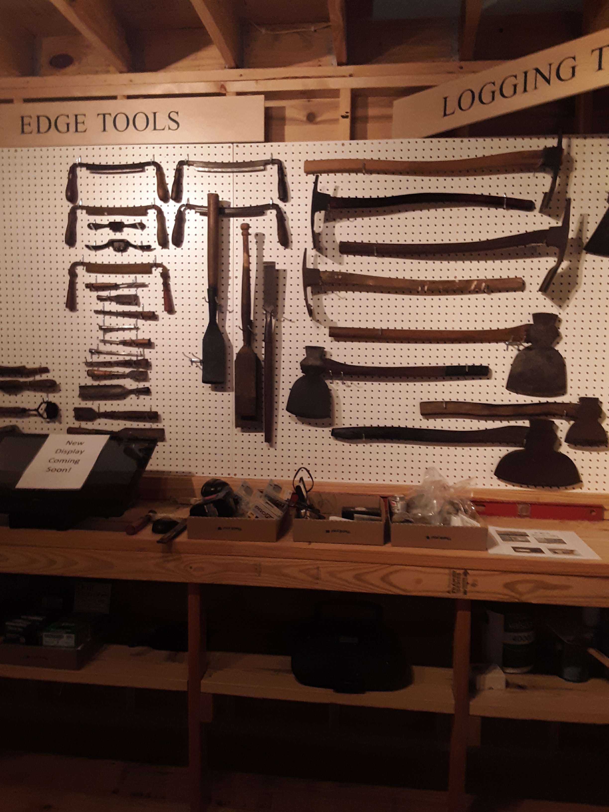
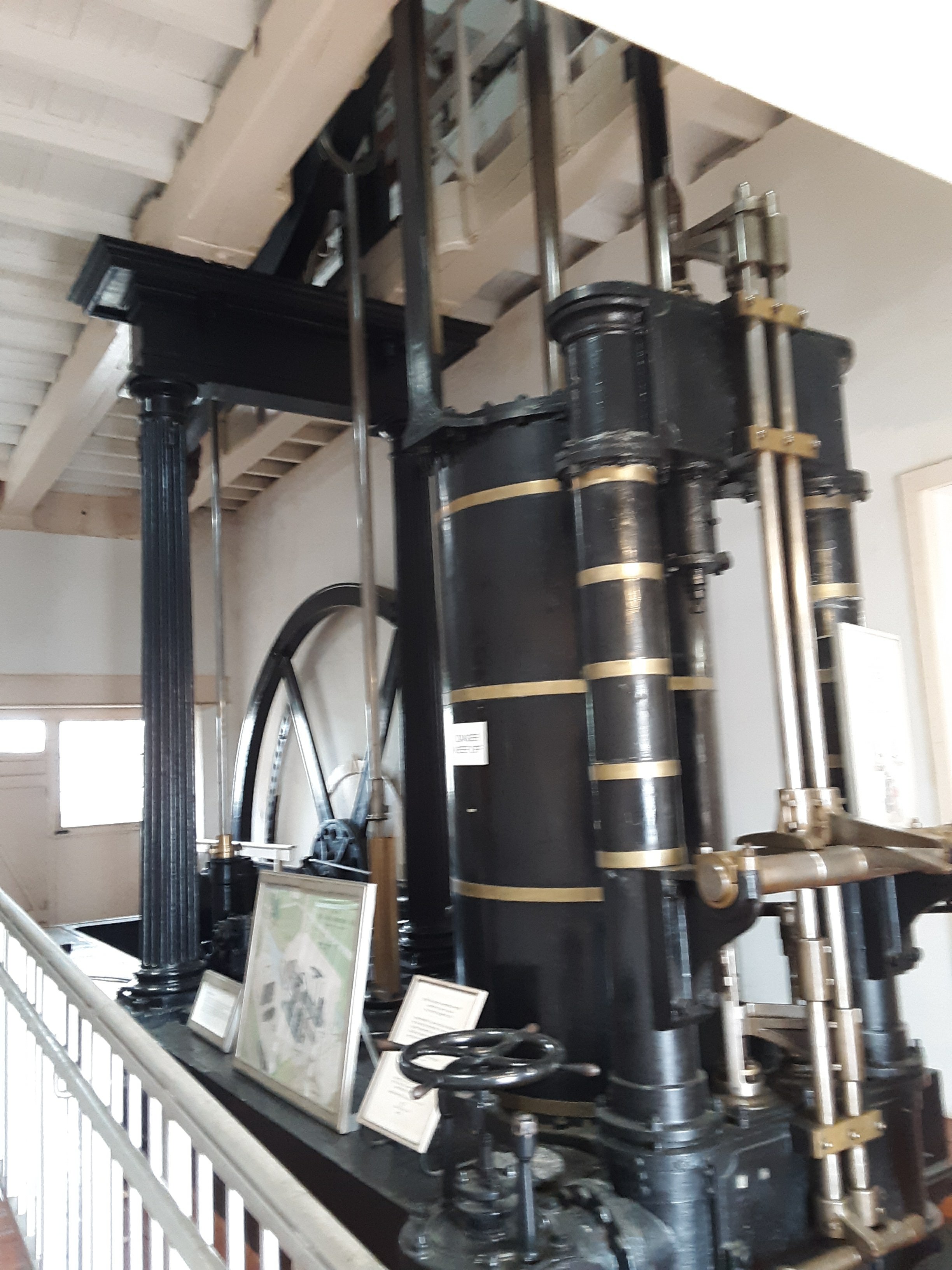
The Engineers have a museum. The canal used to have locks. They used 2 giant steam engines to turn a big water wheel . The wheel moved water to fill the lock.

Uncle Silas?

Growing barnacles in Atlantic City

Plan “A” was to leave for Cape May yesterday. Plans change. The wind was still blowing out of the southwest, which is the direction we’re trying to travel in. I learned my lesson on the way to AC.

In a car you just point in a direction and hope there is a road in front of you. The problem we have is our boat is small as is our diesel motor . It is a 14hp tractor engine manufactured in Japan. It was then converted to marine use by another company out of Gloucester, UK. It is a very reliable little engine but has difficulty pushing Catalpa against wind and waves. Off the coast of NJ there is a small craft advisory in affect due to large waves (from tropical storm Gabriel) and there is that pesky southwest wind. If we just try to power into wind and waves our pace is reduced down to a 3 knot crawl. The waves slamming into the bow can almost stop the boat. The motion of the boat is difficult. On the other hand, when the wind is working for us, Catalpa can move along at 6 knots and has an easy motion. Patience. ” A sailor with no schedule always has good weather.” An old saying that applies to our situation. Today is stormy and grey with heavy East winds and surf. No-go for us. Tomorrow or Saturday are both possibilities.

So, we languish away the the days on the Golden Nugget pier. We’ve been around AC for a week. We’re ready to go. I made another tour of the casino today. A lot of the games are digital. When I was a kid I spent a lot of time playing Space Invaders on the boardwalk in Seaside and Point Pleasant. The casino games seem the same, probably more expensive than the quarters I was burning through. I also walked through the card and roulette areas. That looked more interesting if I was inclined to gamble. I made sure I glanced at no cards. I’ve seen Casino. They have a back room. Lynne found a place where we could get takeout pastries and bagels (today’s breakfast) and another that has takeout subs (dinner).

One way or the other we’re off this pier tomorrow. We’ll either anchor out or head down to Cape May. The dock rates increase on the weekends and we’ve been told it gets very busy. We met some nice cruisers on other boats. Ollie had a great time with a little dog last night. Doggy pandemonium on the pier.

View off the back porch- about 80′ long, from London. Looks like a real fast boat.

Atlantic City

Yesterday we hauled up the anchor in Absecon Inlet and proceeded up Clam Creek. This is a basin filled with a combination of Coast Guard Vessels, fishing boats, and big yachts. We filled up with diesel and ice, both were a big priority. Then we proceeded over to the Golden Nugget and docked in the marina.

There are no dogs allowed in the casino. We considered disguising Ollie as a baby and putting him in a carriage but figured a baby in a casino might also attract attention. Lynne and I both went in at separate times. We both found it a little overwhelming. There are 1000s of people in those buildings. Almost like a whole town. I walked by several restaurants, lounges, sports bars, and stores. All of it mixed in with various betting machines. I only walked through one small portion of the Nugget. Atlantic City is an unusual place. There are these casinos and gated marinas and it all seems to be surrounded by poverty around this vicinity. Easy to buy a Rolex, diamond earrings, or a margarita but impossible to get a quart of milk. We were told we shouldn’t venture into the city without adequate transportation.

Today I’m going to fill up our fresh water supply and hose all the salt off Catalpa. Lynne is going to work on the laundry situation. They have fine showers in the marina so we’ve both enjoyed a little luxury. Tomorrow looks like it might be a good day to head a little further south. We are ready to move on. We’ve noticed the temperature around here seems to be about 10 degrees warmer than Massachusetts.

An interesting but challenging few days

It’s been about a week since I’ve been able to post so here’s the story.

September 24th and 25th Port Washington, NY

Captain and crew lounged around in Port Washington and got in some R&R. We had a good meal at a local seafood restaurant (Fish On Main), did some shopping, and walked all over the place. Lynne and I also kept an eye on the whole United Nations thing so we could figure out when we could get down the East River.

September 26th Port Washington,NY to Atlantic Highlands, NJ

We left Long Island Sound for the East River. The first of many bridges to go under is the Throgs Neck bridge.

New York City (bathed in smog)

I didn’t get a picture of the infamous Hell Gate as I was busy. It wasn’t that bad. Woods Hole is worse. We were going very fast, for us.

The guide book says to take the West passage around Roosevelt Island. The East passage has the Roosevelt Island Lift Bridge. The bridge would have to be raised so that a sailboat mast could go under it. While raising the bridge one would have to fight the strong East River current.

So we took the East Passage. We couldn’t traverse the West side as it was blocked off by NYPD and Coast Guard boats (UN security zone). Lynne called the bridge and I fought the current for a while.

Roosevelt Island Bridge- UP

Amazing City view with the UN building in the center.

Empire State Building (one of my favorites) in the background.

What happened here?

After going under the Williamsburg bridge. We were intercepted by NYPD. A very nice officer, repeat- nice, told us the next part of the river was just shut down for an hour due to security restrictions around the Wall Street Heliport. Back to fighting against the current for an hour.

Eventually we got down to the Brooklyn Bridge.

Then on past Governors Island to New York Harbor and Lady Liberty.

The Bayonne Bridge. They somehow raised the roadway higher on the arch several years ago. I was born in Bayonne. Maybe someday we’ll go down the Kill Van Kull and get a closer look.

I wrote down a list of bridges as we went under each one.

  • Throgs Neck
  • Whitestone
  • Hell Gate (rail)
  • Triborough
  • Roosevelt Island Lift Bridge
  • Queensboro
  • Williamsburg (The Willy B)
  • Manhattan
  • Brooklyn
  • Verrazzano – Narrows

Problems

After going under the Verrazzano bridge we ran into some tall waves due to the wind opposing the current exiting the Narrows. We’ve done this kind of work before so it should have been no problem. At some point the bow of Catalpa was plowing into the waves. This forced the anchor (on the bow sprit) back, untensioned the chain, the “chain stopper plate” flew up from the water pressure, and 150 feet of anchor gear and steel flew off the front of the boat in an instant. We were now anchored in a big current with large waves bouncing the boat around. Lynne took over the helm to try to get control of the situation. I clipped in with harness/ jack lines and proceeded to ride the mechanical bull until I cranked all the anchor gear in. I lashed everything down and we proceeded on to Atlantic Highlands. In the ensuing mayhem the anchor locker (forepeak?) cap was damaged (since repaired) and the offending chain stopper plate was lost to the ocean (looking for a new one).

We pulled into Atlantic Highlands later in the day. Some day we’ll come back to explore. I have relatives around these parts. We stopped briefly and were off before dawn the next day due to a favorable wind. ONWARD

September 27th Atlantic Highlands, NJ to Barnegat Bay, NJ

We traveled from the Highlands to Barnegat Bay. It’s around 50 nautical miles, a long day for us. The winds were light so we motor sailed all day. The guide book says “only enter Barnegat Inlet with local knowledge “. Lynne called the Coast Guard and got some local knowledge. We made it in without issue. The anchorage was ideal. Oliver got some good play time in on the nice Sandy beaches surrounding us.

Our view Barnegat Light

September 28th Barnegat Bay, NJ to Atlantic City, NJ

This was supposed to be a short 28nm day. There was supposed to be light southerly winds, not ideal but doable. Well the winds fired up out of the southwest (The direction we were traveling in) and the day turned into a long upwind slog. What was supposed to take 5 or 6 hours took us 12. We picked out Atlantic City harbor (Absecon inlet) in the dark (a first for us). I’m reading a book about U-Boats and the battle for the Atlantic- it felt like a military operation. We glided in the dark to an anchorage area (on diesel fumes) and finally stopped for the night. I spyed the shore line for a landing. Then Oliver and I went on a commando raid to find a poop spot.

September 29th Atlantic City

We’re going to stay here for a few days to rest, dry out the boat, and reprovision. AC is a different place. Lots of casino lights at night. We’re thinking about renting a slip at the Golden Nugget. I don’t gamble but they have real showers and a laundromat.

Port Washington

September 23rd. Port Washington, NY

We continued on down Long Island Sound yesterday, the hazy NYC skyline off in the distance. As we get closer it’s starting to feel like the Empire State. Planes everywhere (LaGuardia is only a few miles away). We probably saw more boats out yesterday than we did the whole summer.

We went for a long walk around much of the Port Washington waterfront. Had a good bagel and coffee for breakfast. Ollie got some frisbee time in and some doggy socialization. We’re living it up a little. We payed for our first mooring on the trip and have launch service in to town. It really feels like NY around here.

This is Execution Rock lighthouse (just outside of Manhasset Bay). Great name. We’re also not far from Hell Gate so we’ll be traveling from Execution through Hell. You can see New York City off to the left.

Hell Gate and the East River have a lot of current which reverses with the tide. Our stop here was to get ready for that passage as we can’t go against the current. While I planned for that, what I didn’t plan for is THE UNITED NATIONS. I’ve been avoiding the news in general. The UN is in session. The UN building is right on the river. There are all kinds of security restrictions. Many roads and bridges are shut down. The East River is completely shut down on certain days. Other days it’s partially closed. So now I have to plan for the wind, weather, tidal current, and government. We’re going to remain here for a few days and see if we can’t sneak through towards the end of the week. Maybe Mar-a-Lago will be occupied later in the week.

Port Washington

Ollie has been missing his Sunday Funday pals. He tried to drag us into this restaurant.

Port Jefferson and Oyster Bay

September 20th Port Jefferson, NY

We spent the day in Port Jefferson for some R and R. I consider myself a New Englander but am a native of New Jersey. I have a confession to make. I prefer Manhattan Clam Chowder over New England Clam Chowder (ducks head when some swamp Yankee throws a Sam Adams at his head). I plan on having several more bowls before I’m out of the tri-state area.

Had an enjoyable day in town. Oliver’s got some frisbee time in. It’s a pretty dog friendly port.

I guess PT Barnham lived here.

September 21st Oyster Bay, NY

We sailed from Port Jefferson to Oyster Bay, NY. Sailing down Long Island Sound we could see NYC off in the distance. Stamford CT was also close by. Long Island in comparison, is very rural with a seemingly unspoiled coast line. Sandy beaches and trees (and mansions). We’re anchored in a secluded cove far from town for the night. Onward to Port Washington tomorrow.

Did I mention, I caught my first fish in about 35 years today?

Old Saybrook and Port Jefferson

In my last post I mentioned Niantic. While hauling up the anchor in Block Island, I had a brief conversation with another cruiser (also heading south), they mentioned a nice harbor called North Cove in Old Saybrook, CT. We pulled out the chart and changed plans. It is on the Connecticut river and is relatively easy to navigate into.

The ride across Block Island sound and Long Island sound was a turbulent one. The wind was behind us again. Catalpa was surfing down the backs of waves at 7+ knots. We made great time. Captain and crew were a little tired but North Cove is a beautiful spot to rest.

This forbidding structure is Race rock light house, at the entrance to LI Sound

These 2 lighthouses are at the entrance to Saybrook (The purpose of this blog is Not to document every lighthouse we see!)

Here a couple shots of the happy crew at North Cove.

Today (September 19th) we sailed on to Port Jefferson, Long Island NY. It’s been a pretty long day due to a lack of wind. We anchored in a quiet spot away from town. Tomorrow we plan on staying here for an extra day to rest and explore.

Block Island

Sailed from Cuttyhunk to Block Island (RI) today. Pretty strong north east winds driving us down into Block Island sound. We’ve been to Block one other time. I’d like to stay here for a few days but I think we’re going to push on tomorrow due to a favorable wind. We were last here in July. Much more room in the harbor today. Ollie had a nice game of catch and a swim at the beach.

Tomorrow we’ll be jumping into “uncharted” territory. We’ll be passing through The Race into Long Island Sound. The rest of the adventure is all new to us as we’ve not been west of Rhode Island (by boat). We should be anchored in the Niantic River (CT) tomorrow night.

All’s well. Catalpa held up well in a little open ocean sailing today with some big following seas. The spare doggy antibiotics have been located and I have a pretty good idea where the lost snap kit might be located.

Departure

We passed through the Padanaram bridge at 10am this morning. We decided on a short trip over to Cuttyhunk (one of our favorite places in the world). Catalpa is so loaded with stuff, we just wanted to see how she’d handle. Shakedown cruise. Two hours later and all is well. Anchored in Cuttyhunk harbor. Can’t find the snap kit or Oliver’s spare antibiotics. I’m sure they’ll show up when I least expect it.

We’re both still tired from getting ready. We’ve been preparing the boat for the last 6 months. Probably loading for 2 weeks. Yesterday we spent all day shutting down the house.

Onward to Block Island, RI tomorrow (probably).