November 27th- Jekyll Island, GA to Cumberland Island, GA
I’ve never had to think about what to do for Thanksgiving. I’ve always spent it with my family. This year we are spread out over several states and countries.
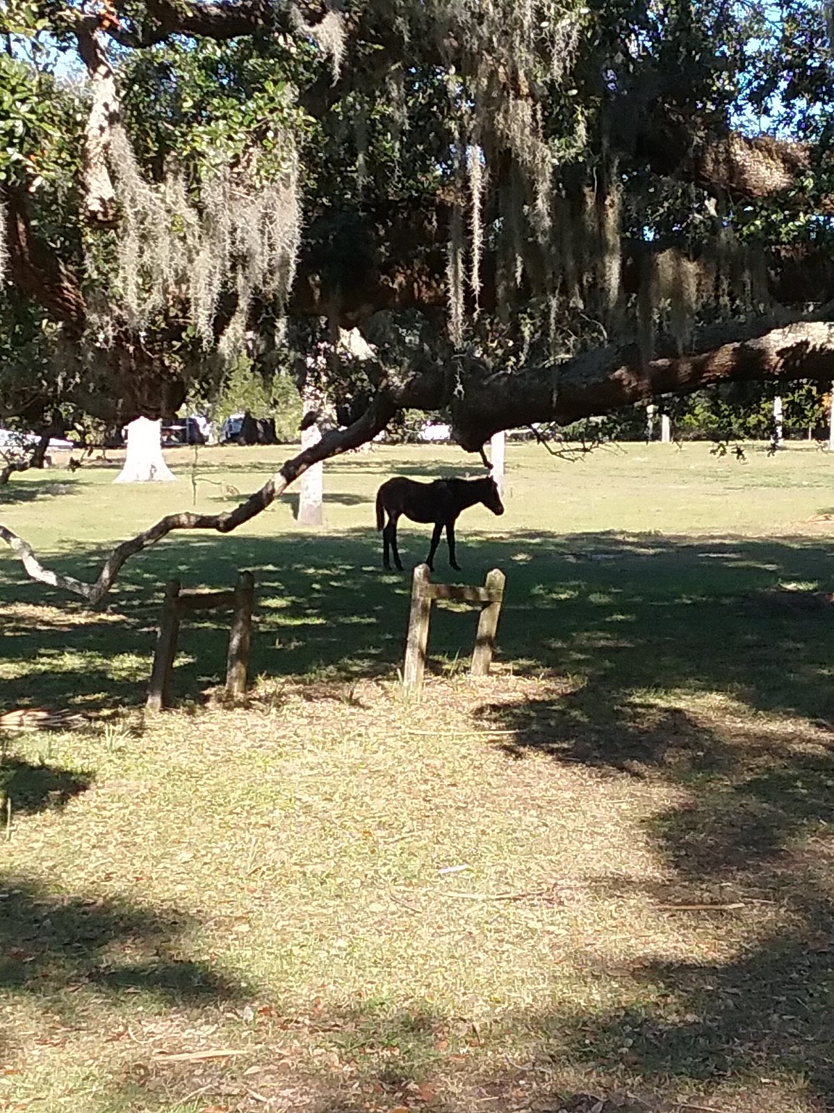
At some point I heard about the Cruisers Thanksgiving Potluck at St. Marys, Georgia. So that was a logical choice. I’d also heard about Cumberland Island. Cumberland Island is a National Seashore Park. It’s one of Georgia’s barrier islands. There are wild horses and the ruins of a Carnegie mansion. Cumberland Island captured my imagination. The weather is supposed to be good for a few days so we decided on Cumberland.
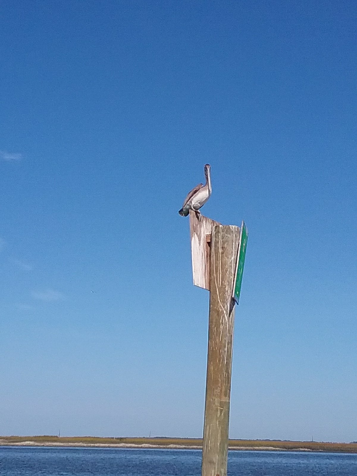
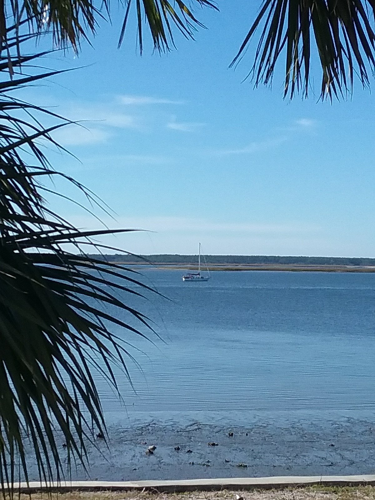
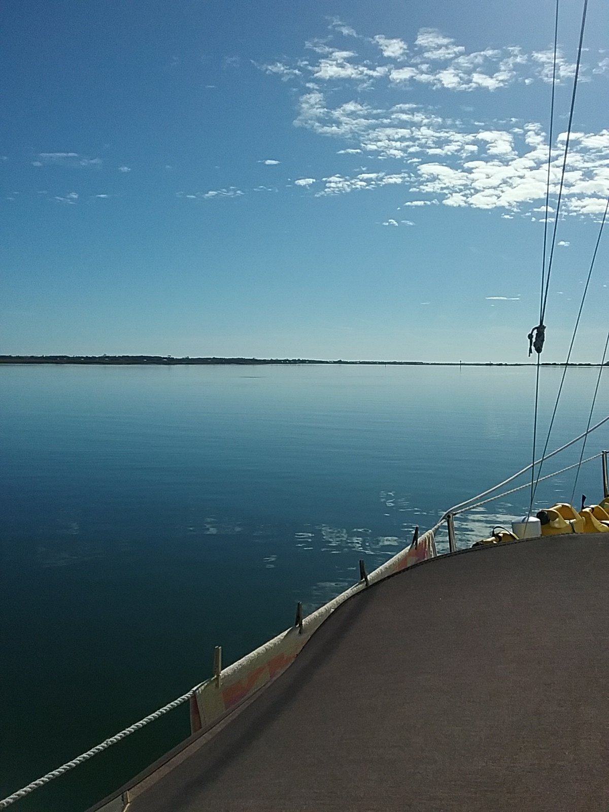
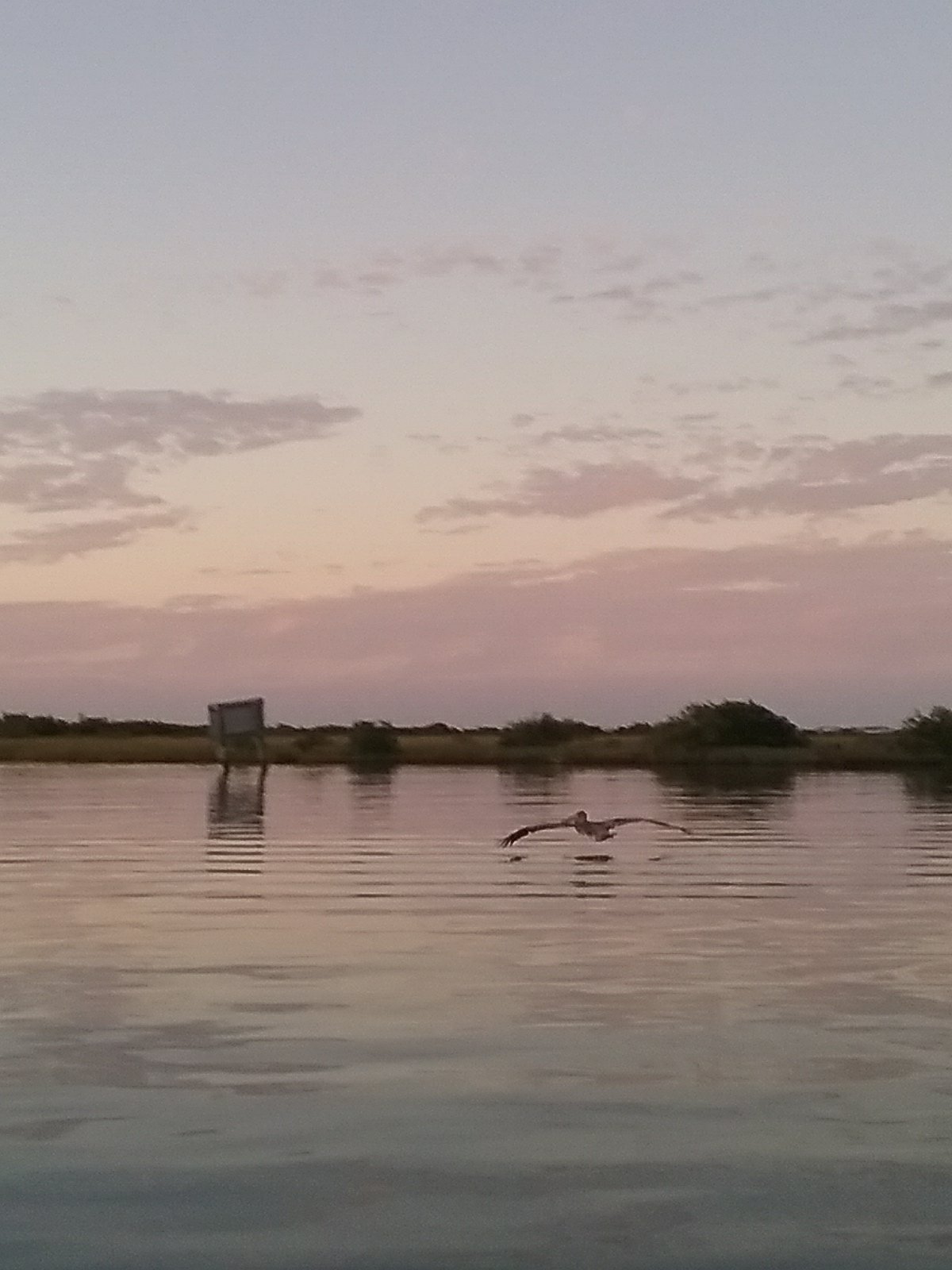
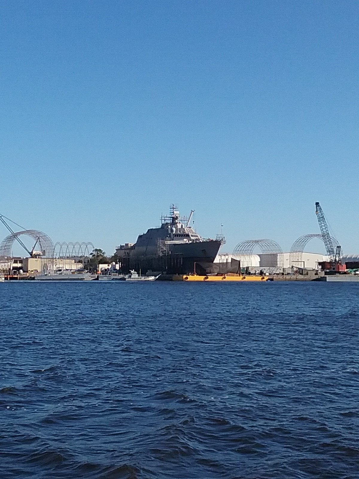
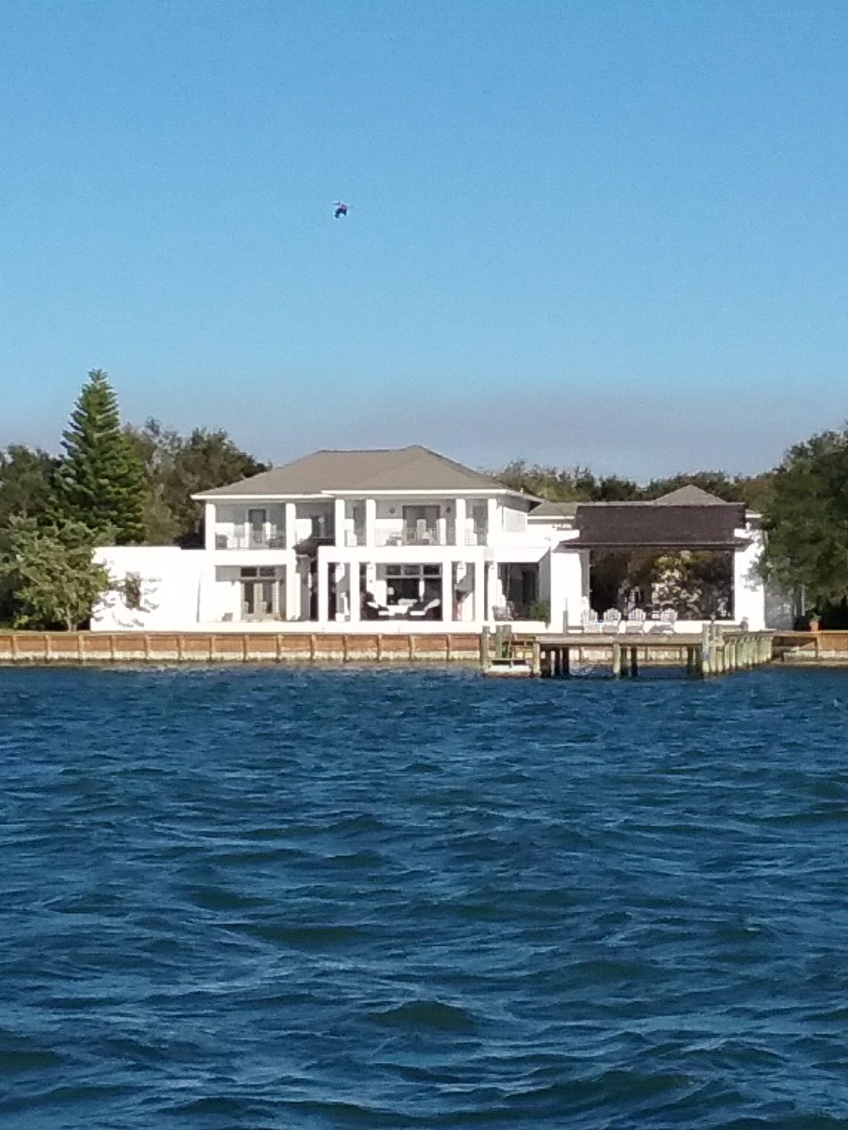
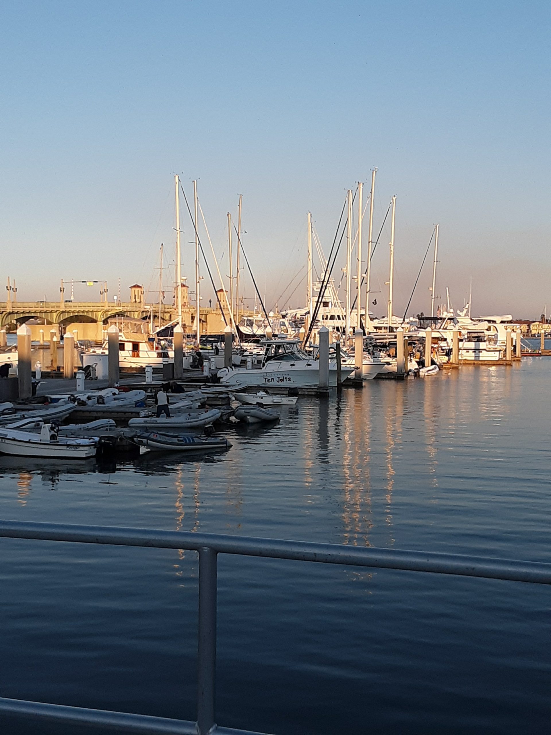
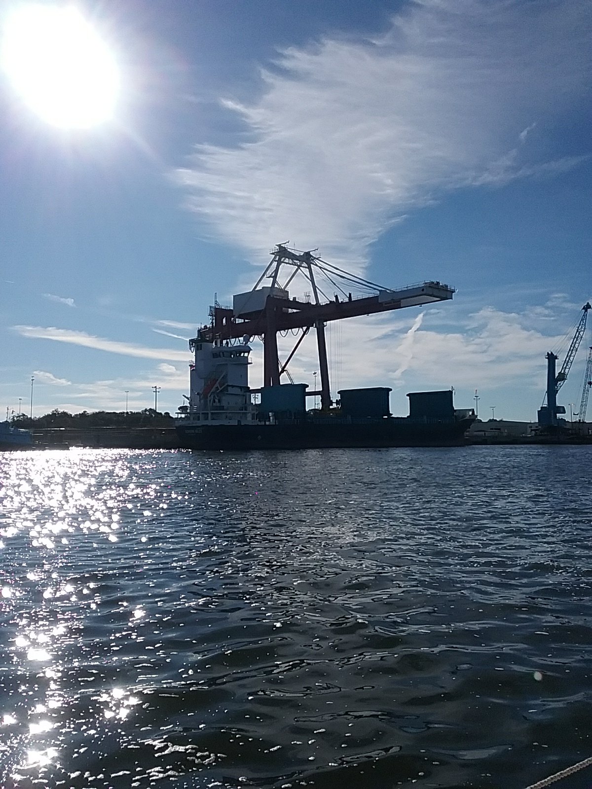
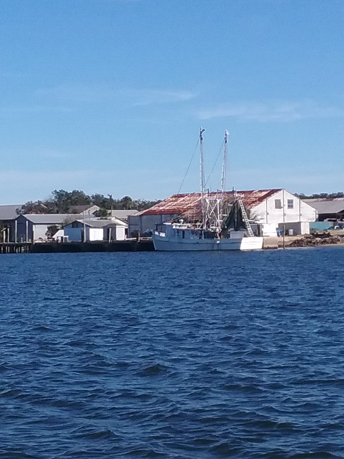
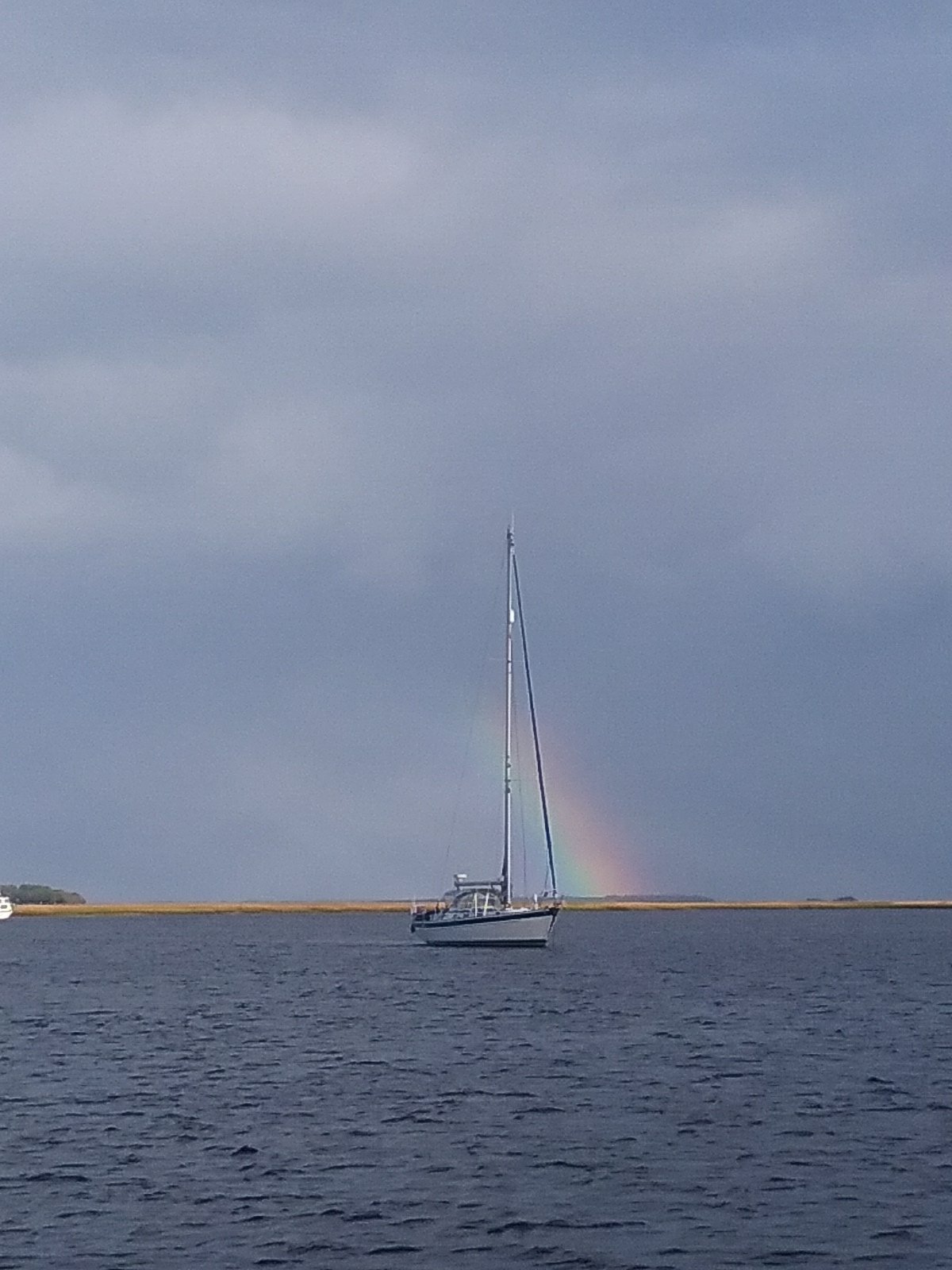
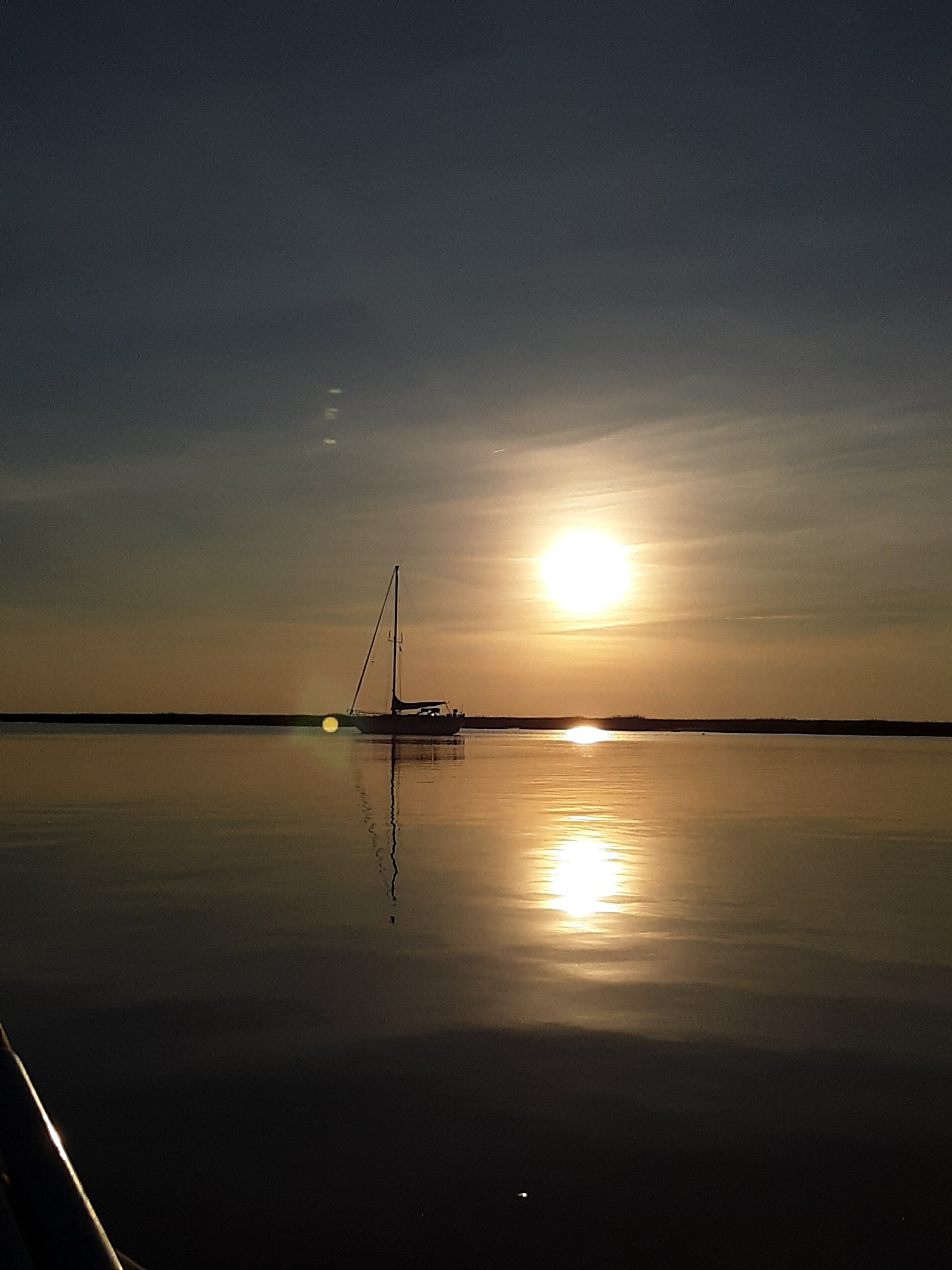
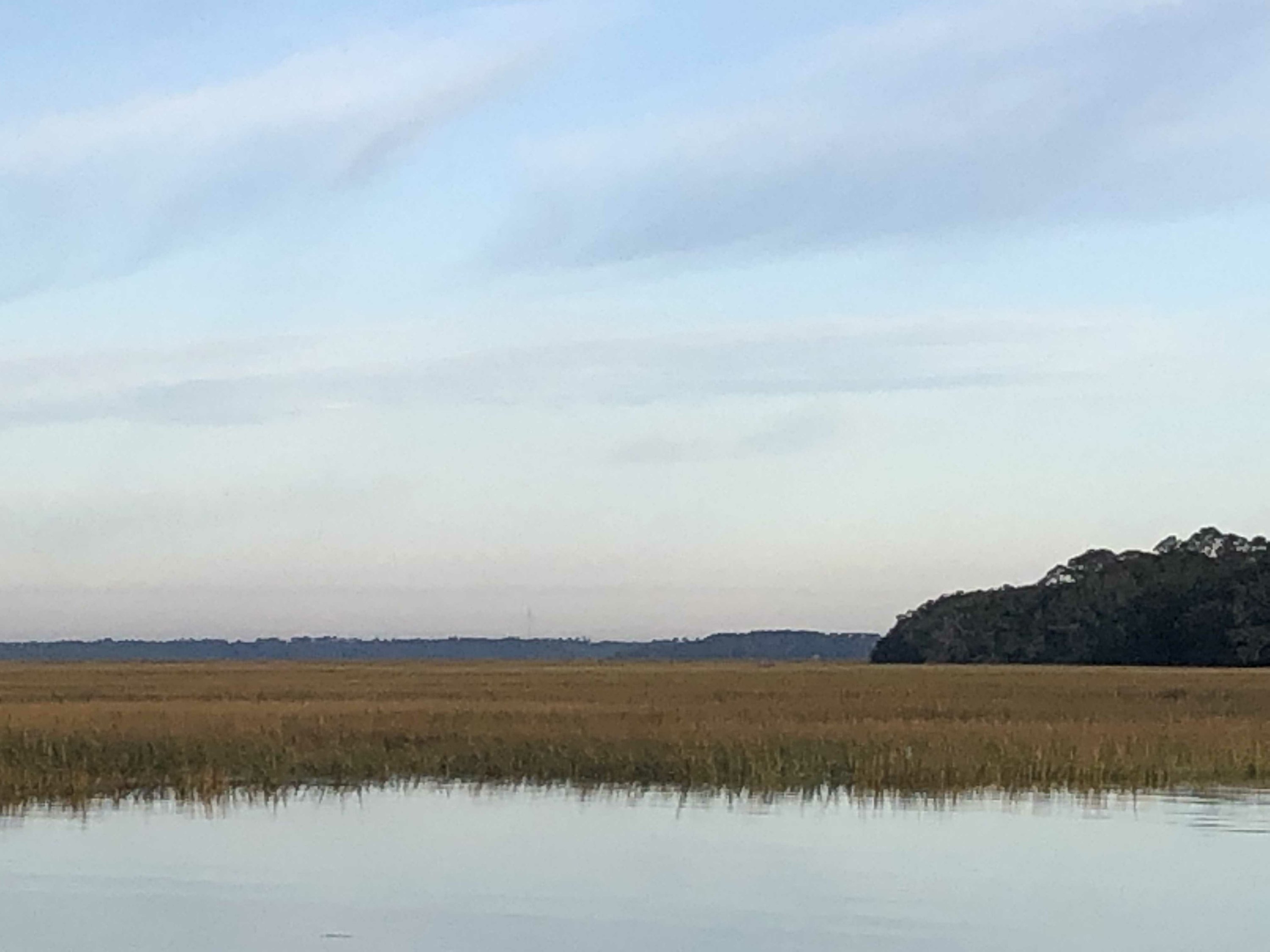
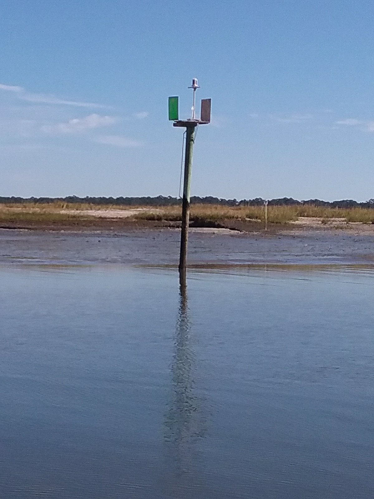
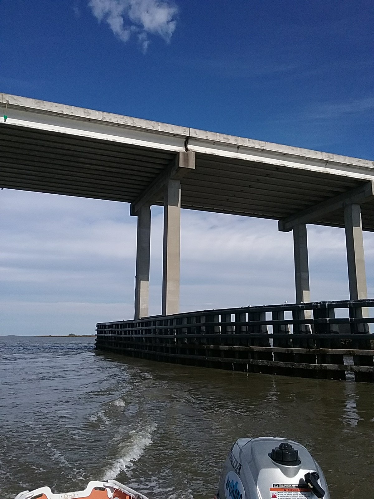
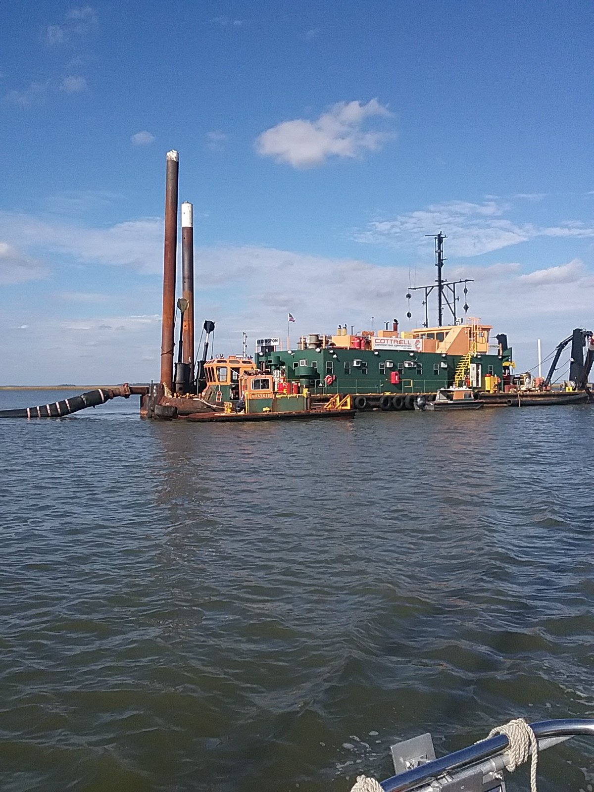
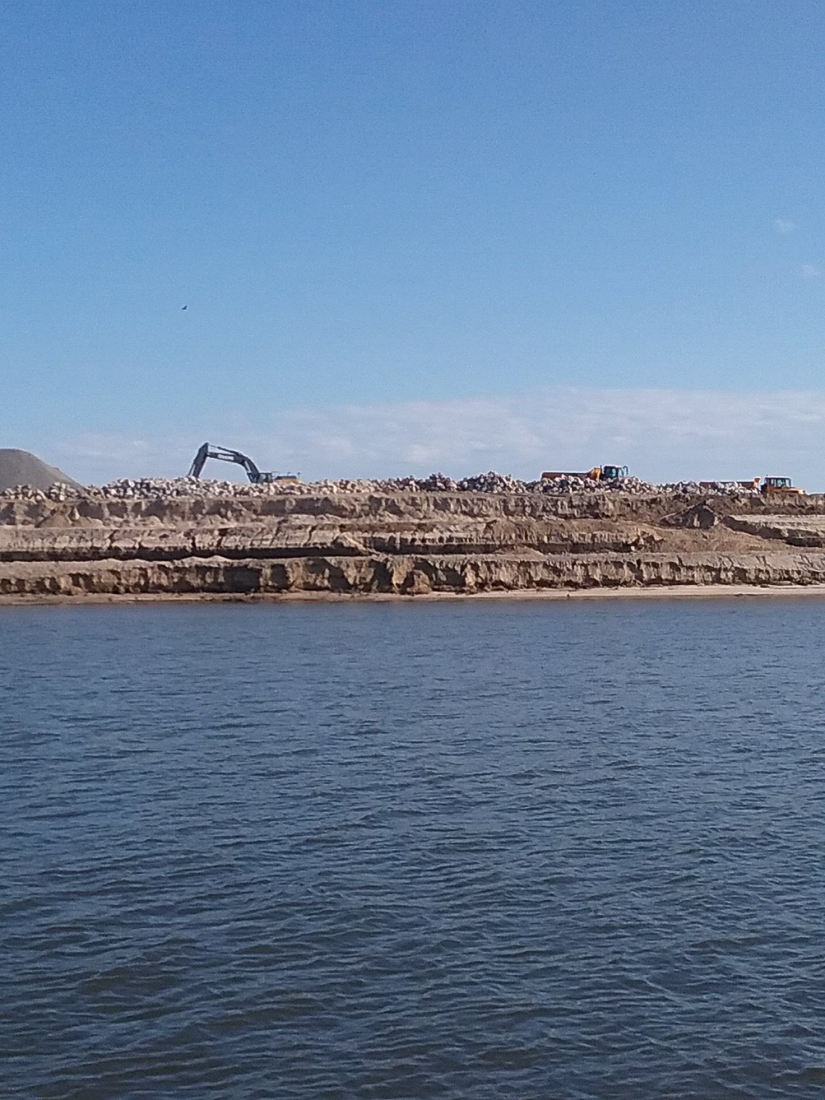
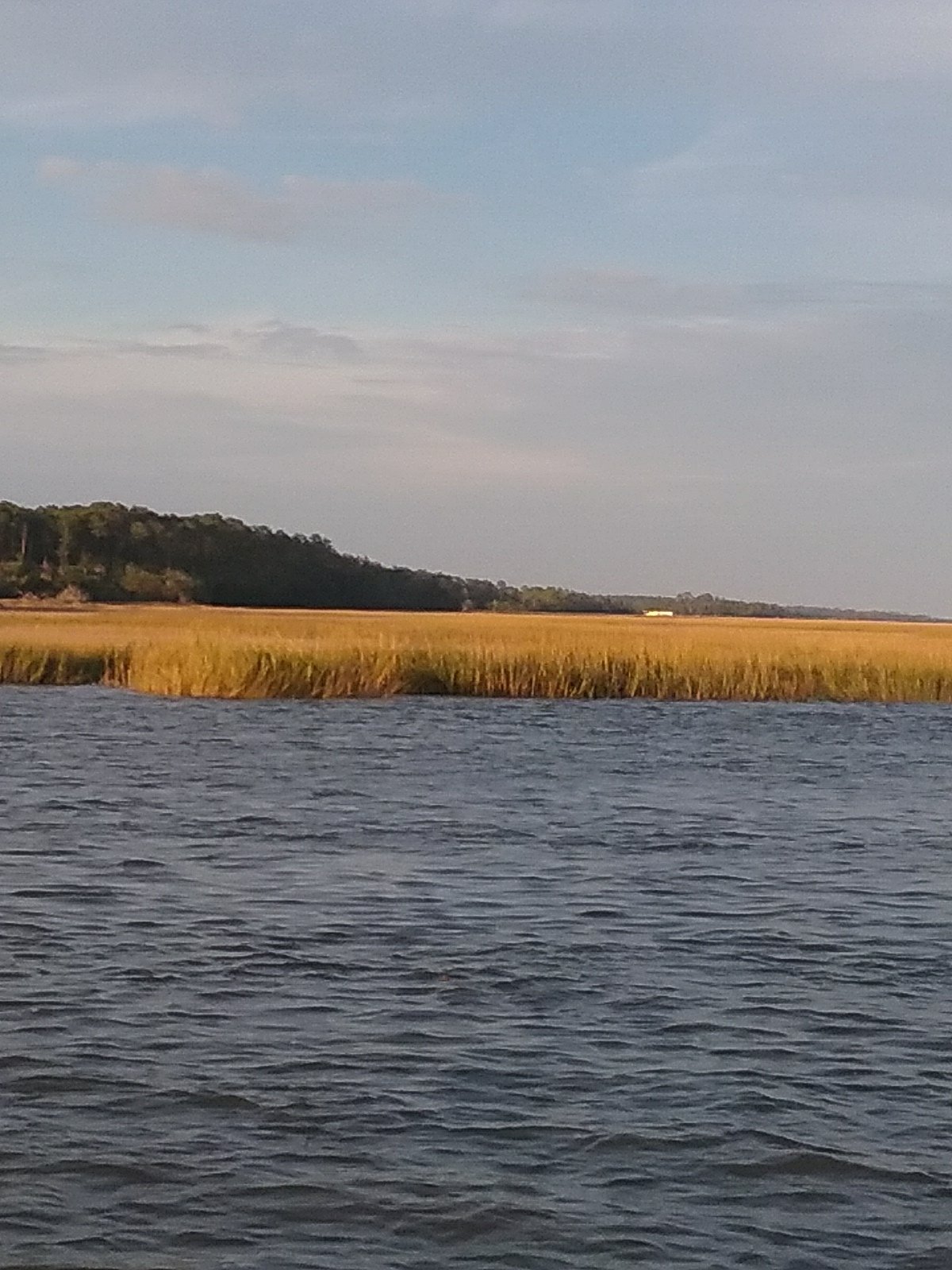
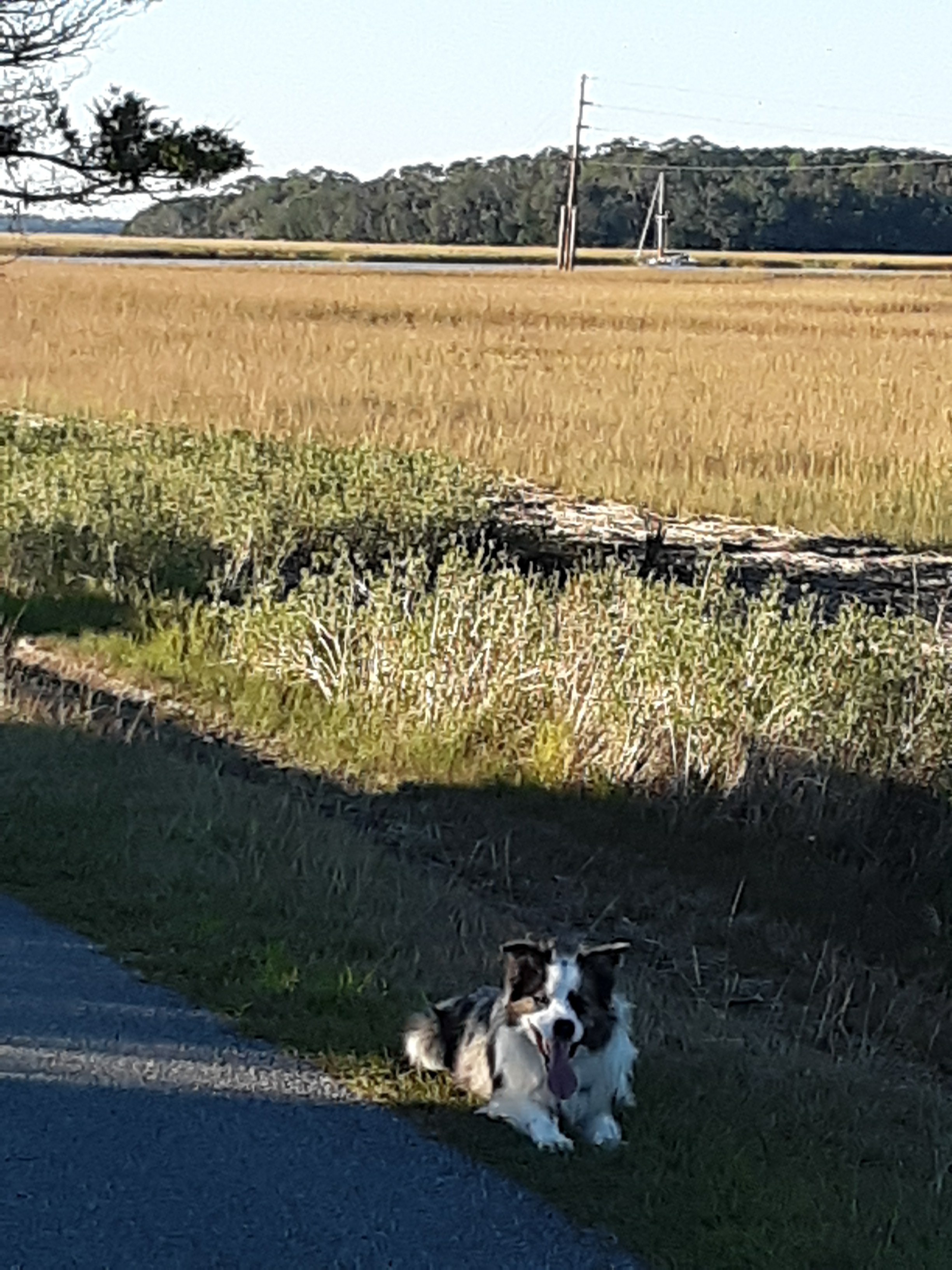
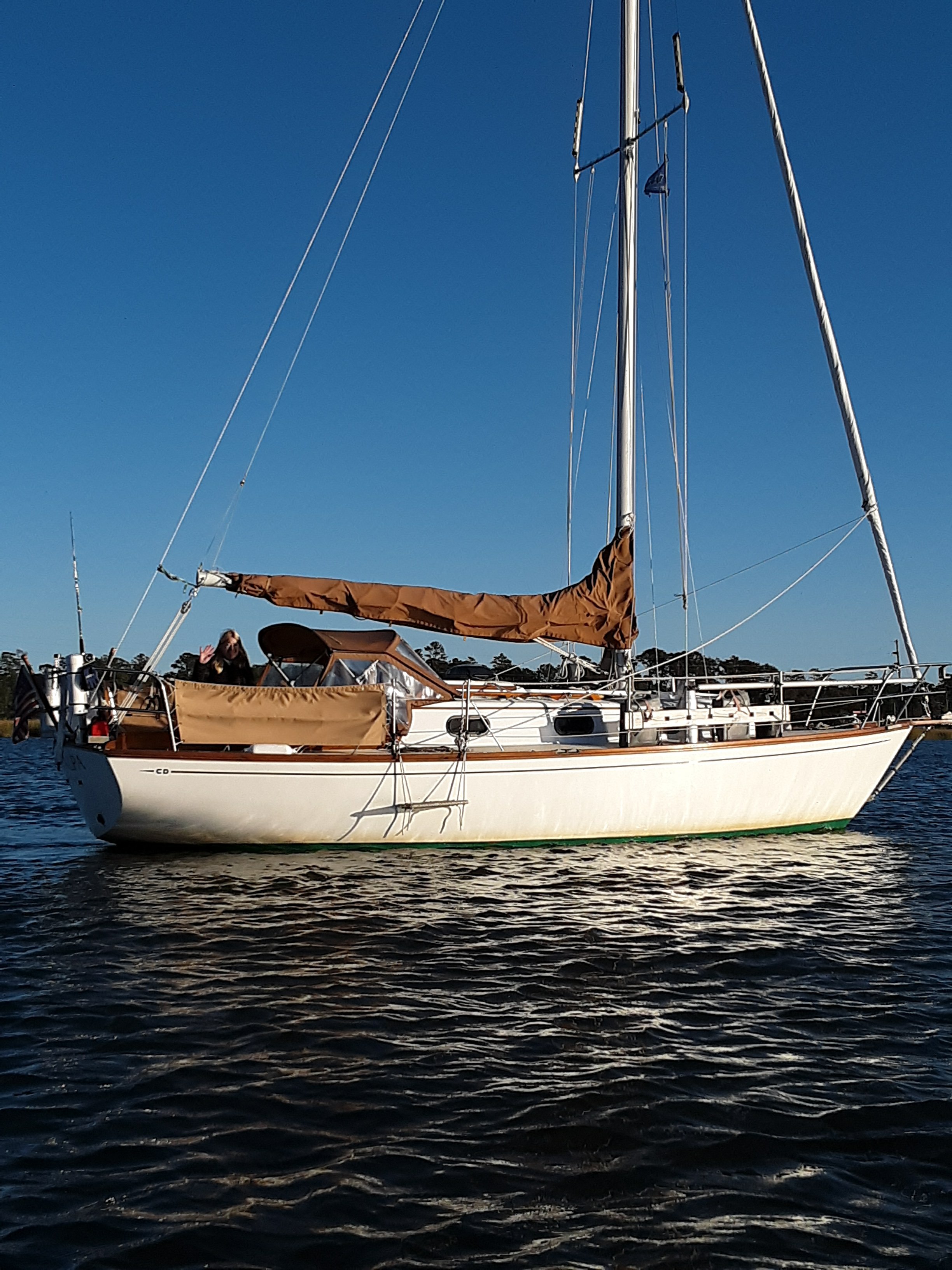
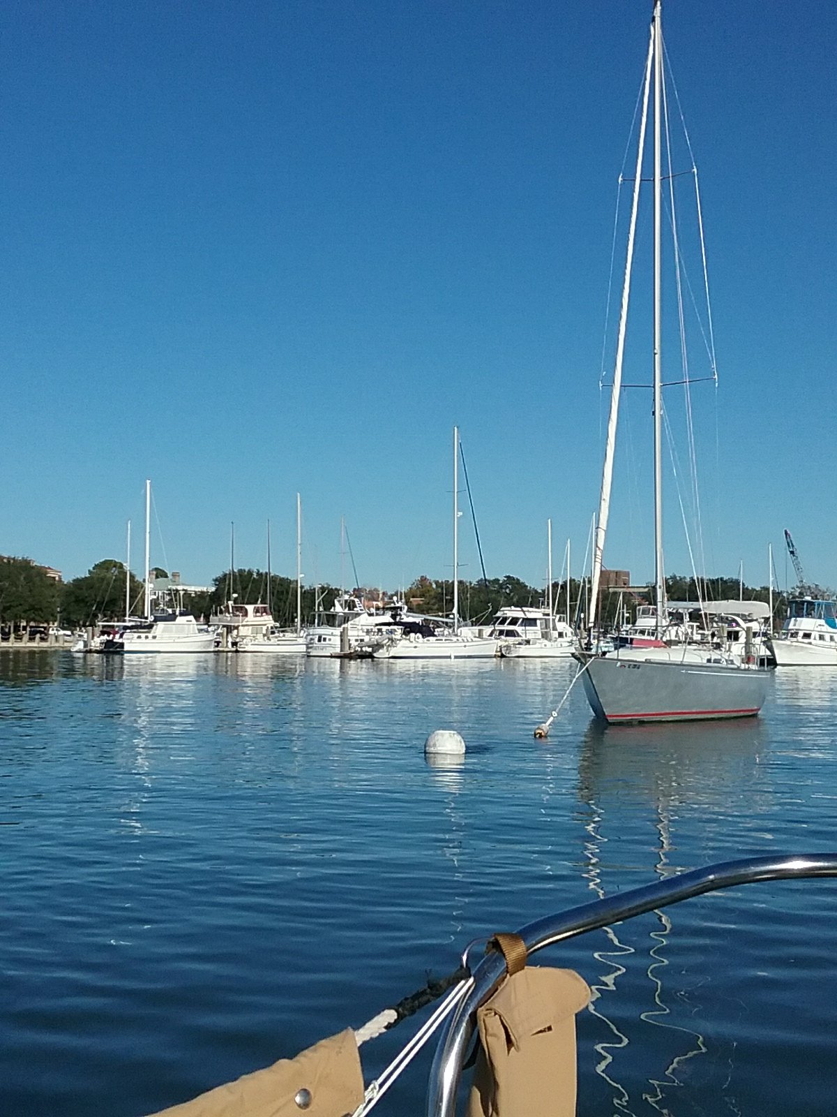
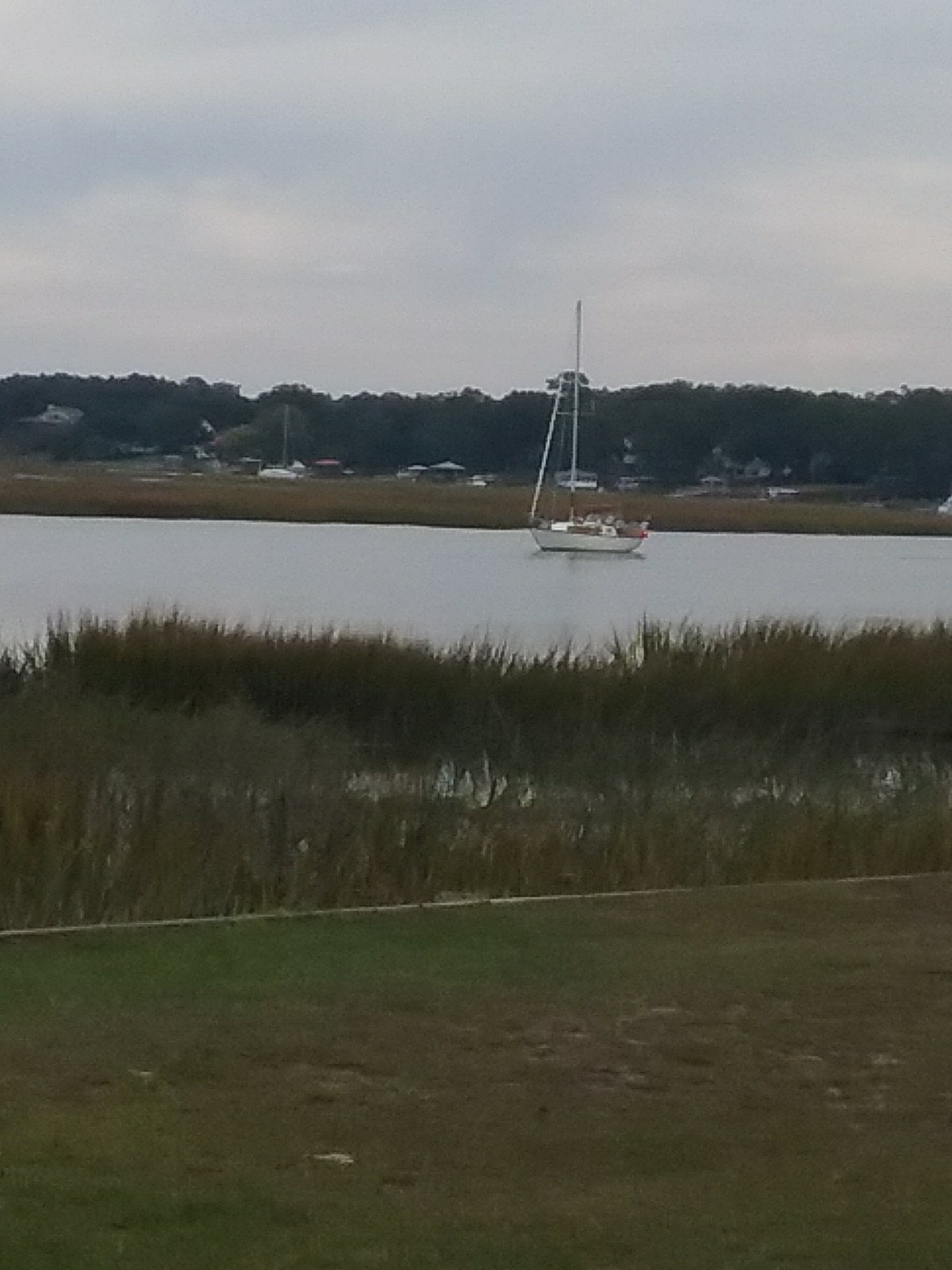
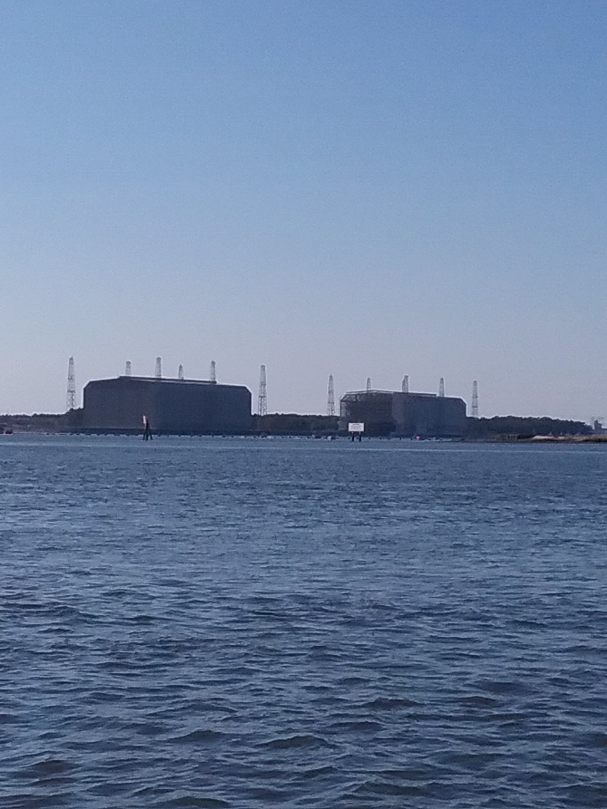
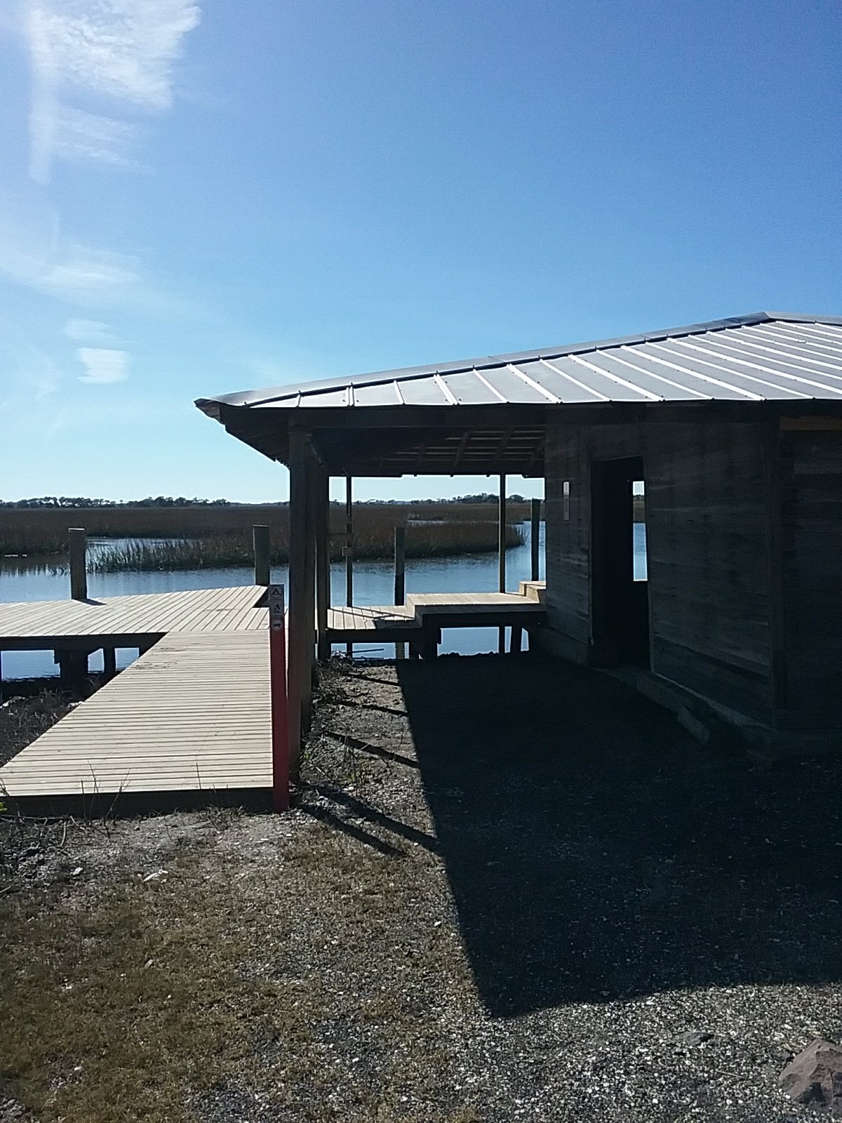
Cumberland Island is big so we spent most of the day with it on our beam as we headed toward our anchorage at the southern end. We passed by the Kingsbay Navy Submarine Base. We didn’t see any subs today.
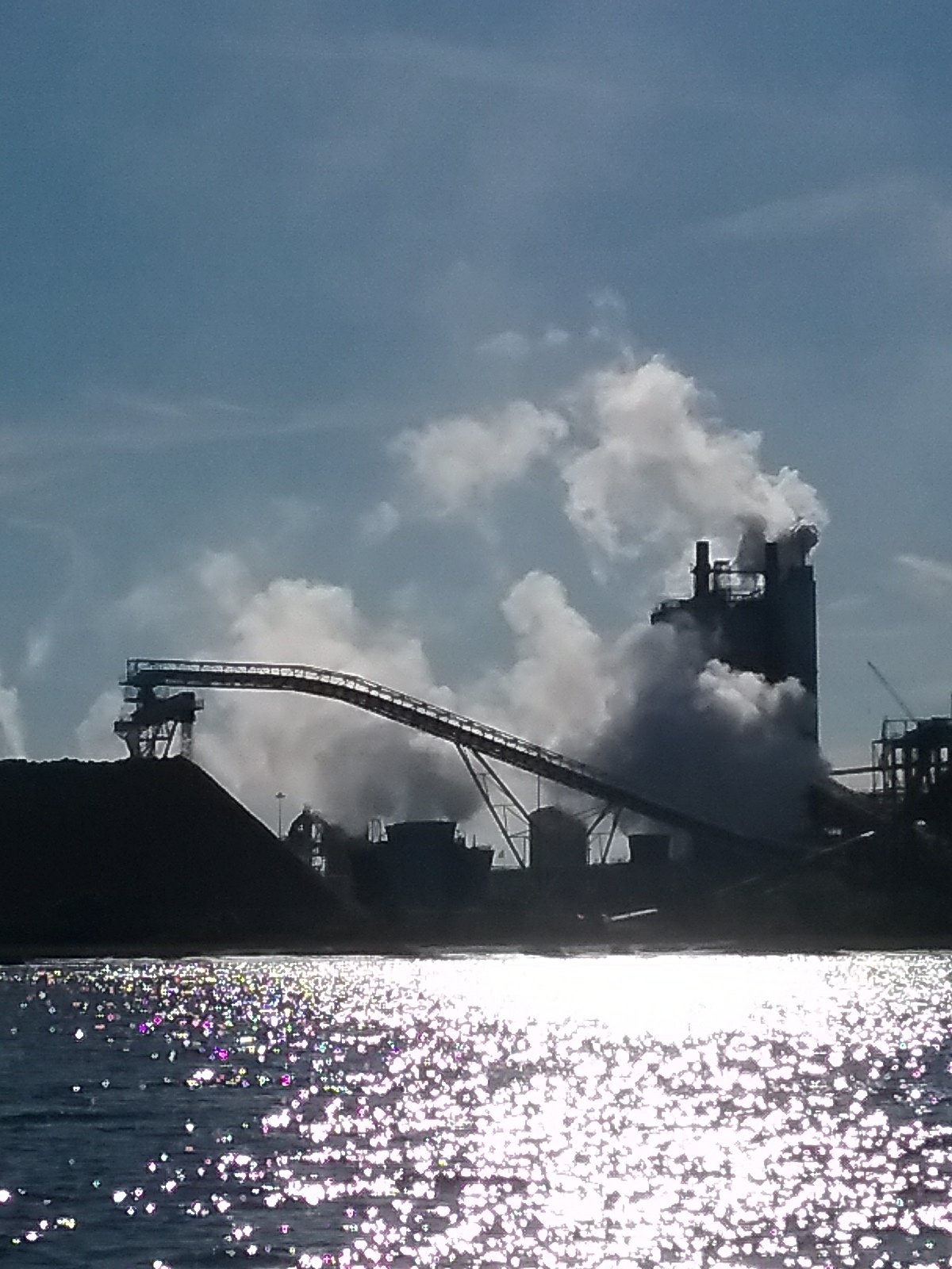
They must keep the subs in the large hangers.
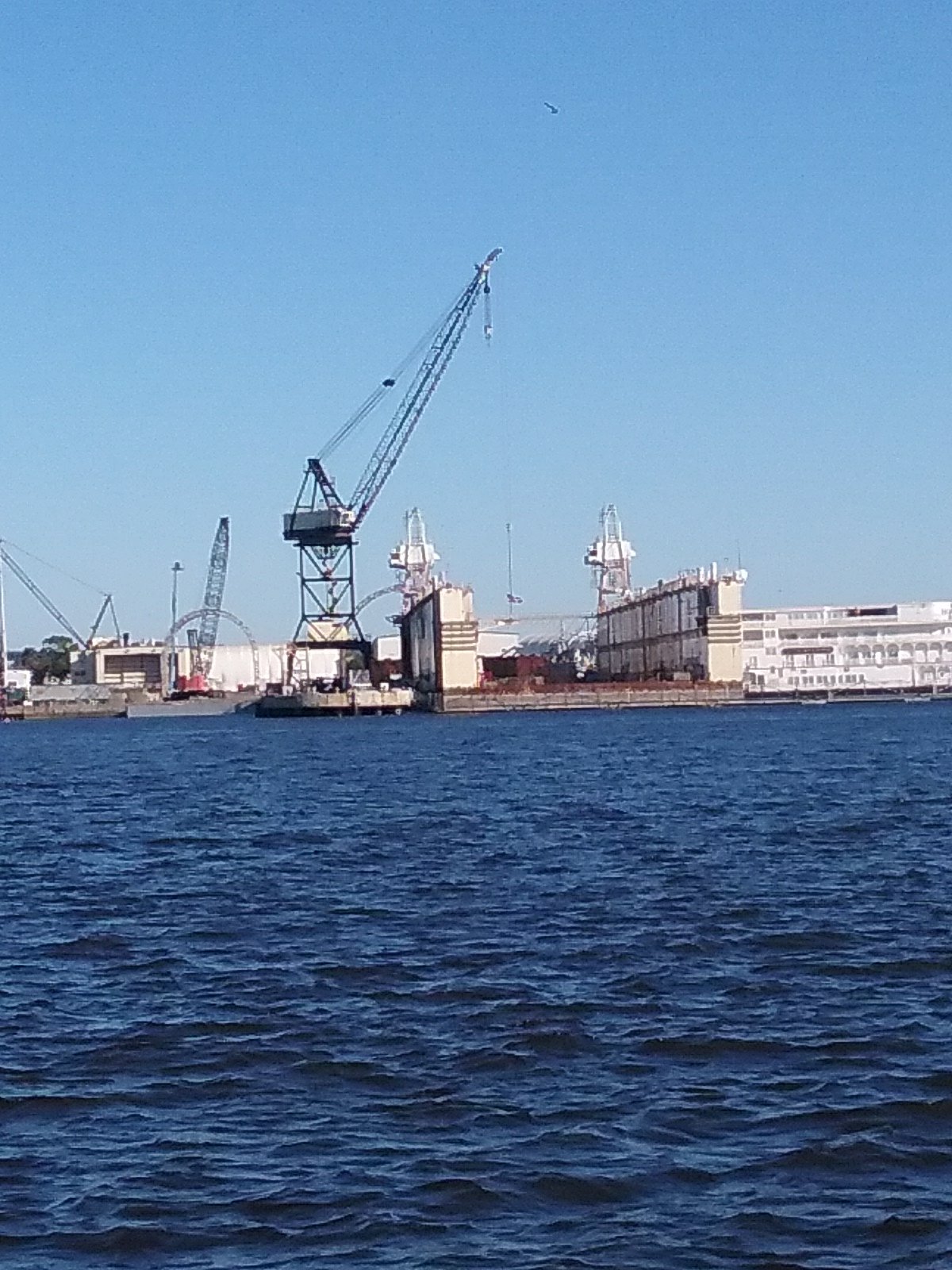
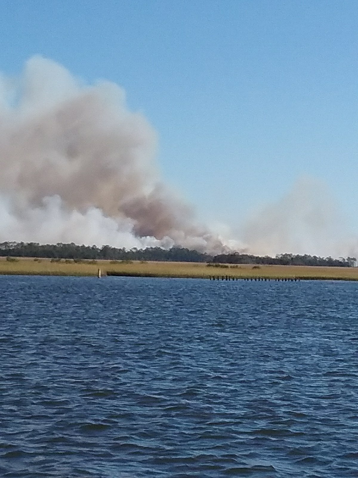
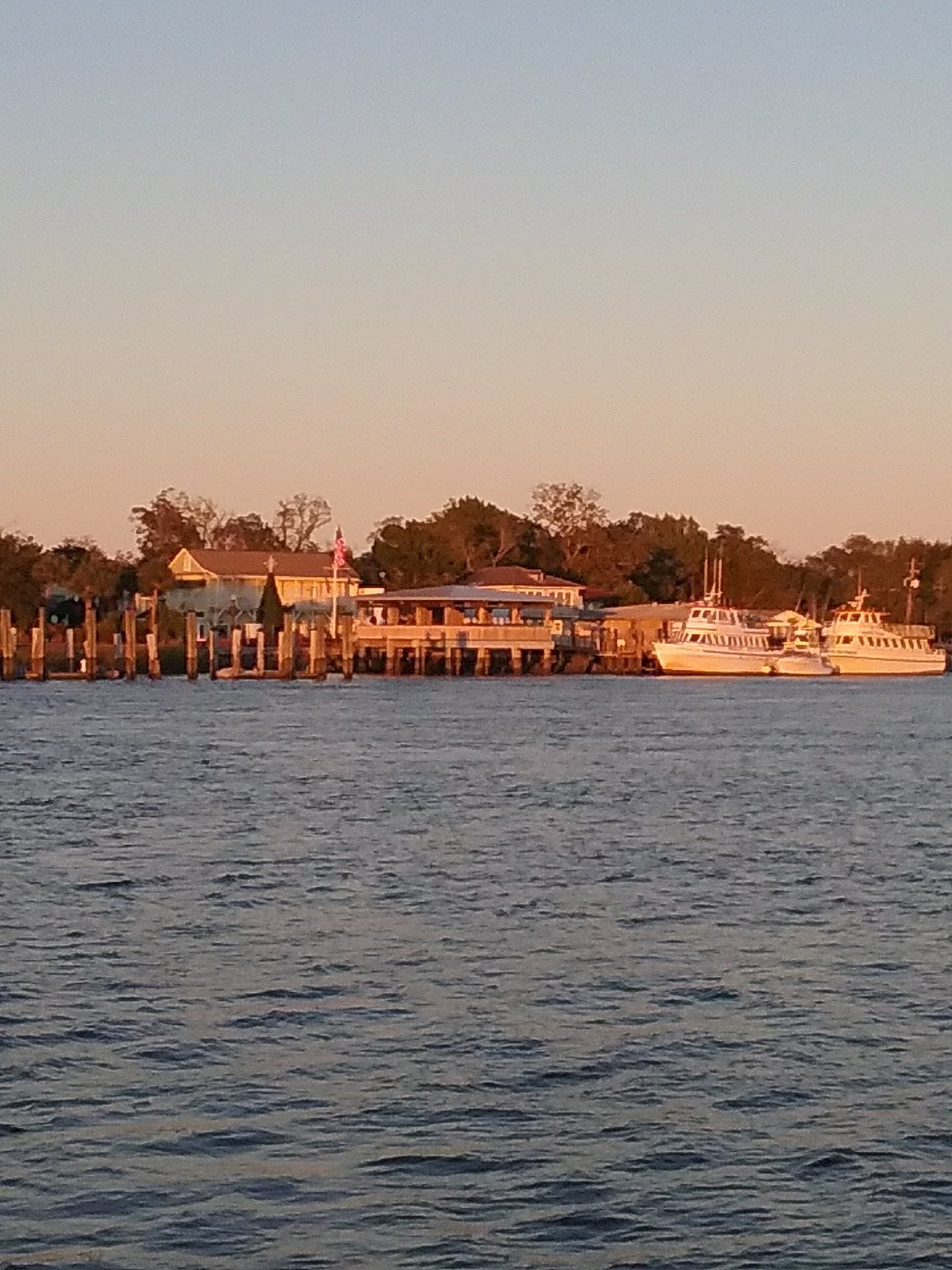
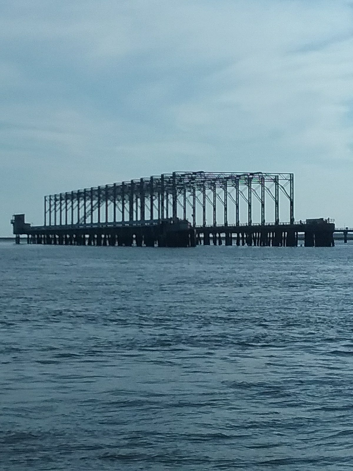
I think this is a degaussing station. Its purpose is to demagnetize submarines.
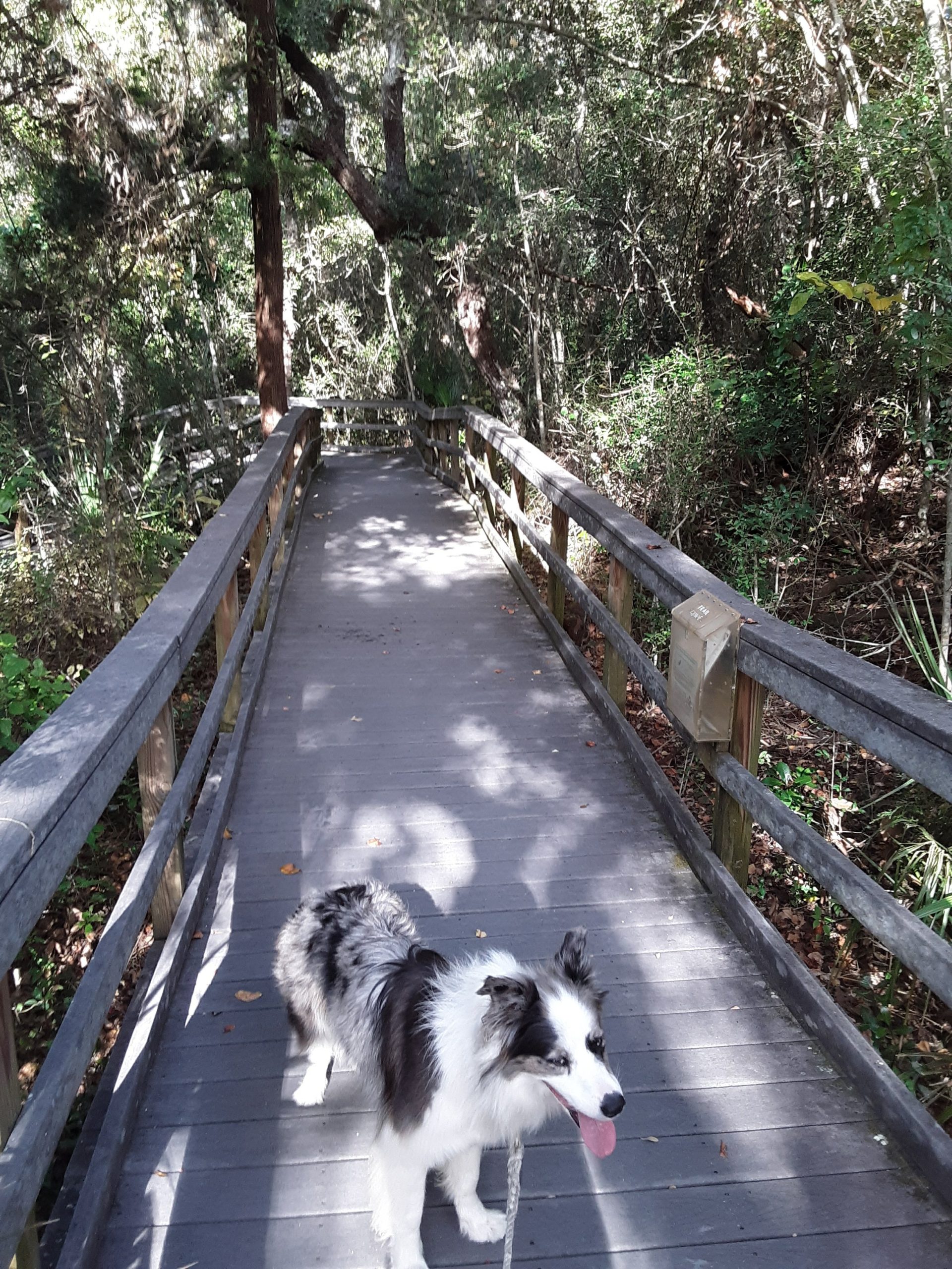
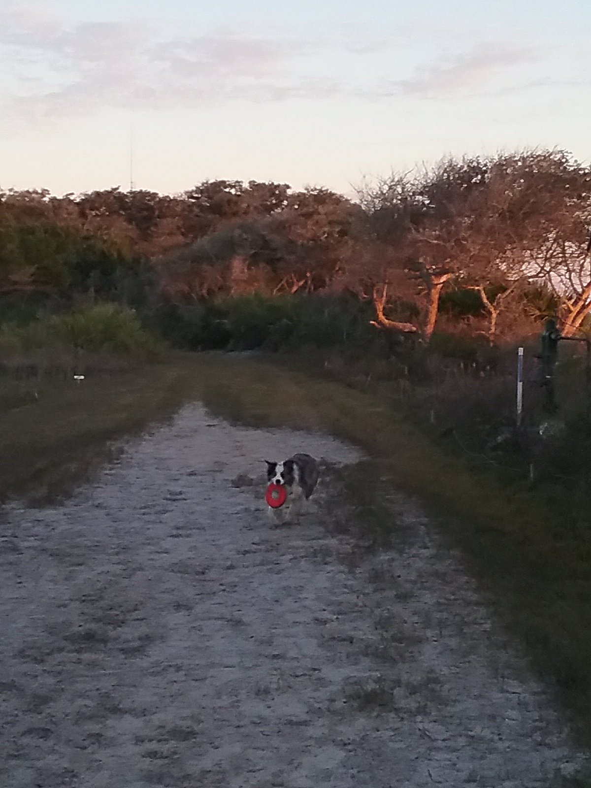
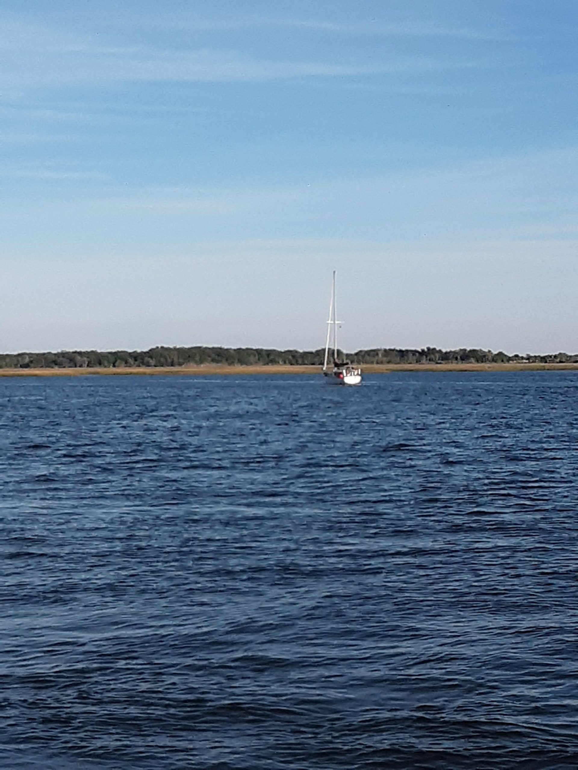
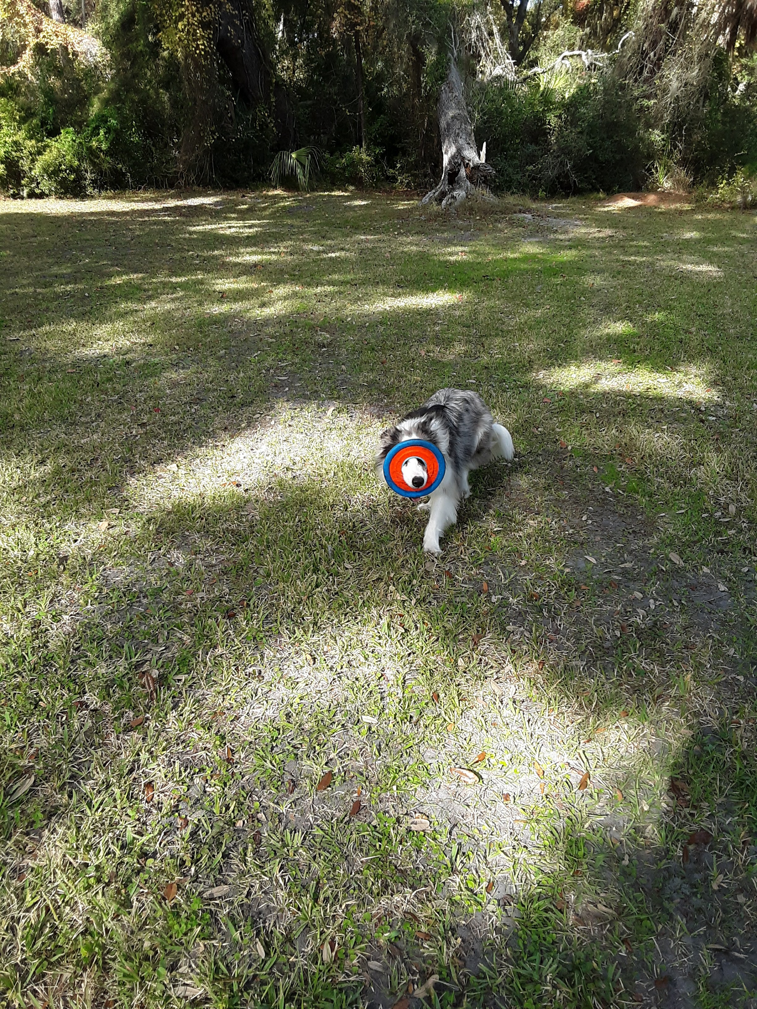
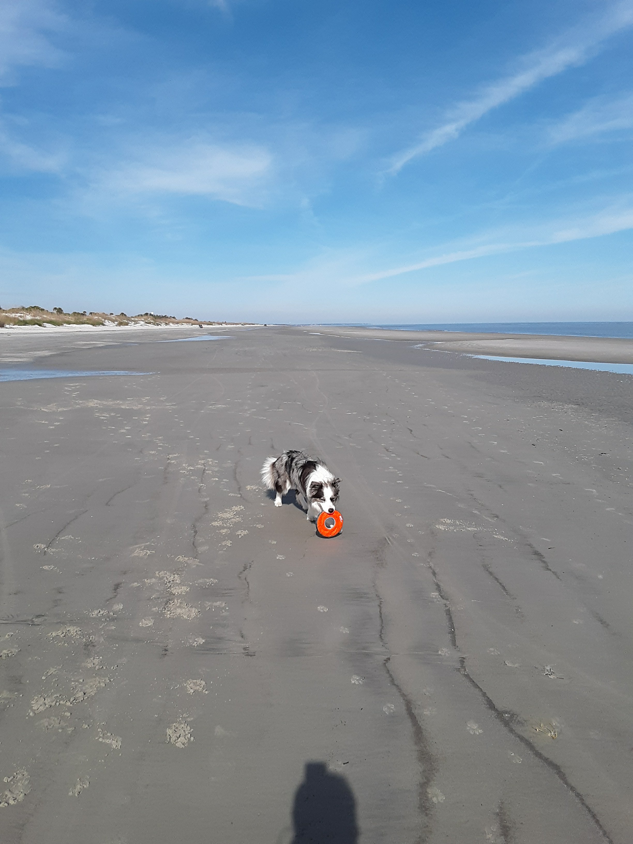
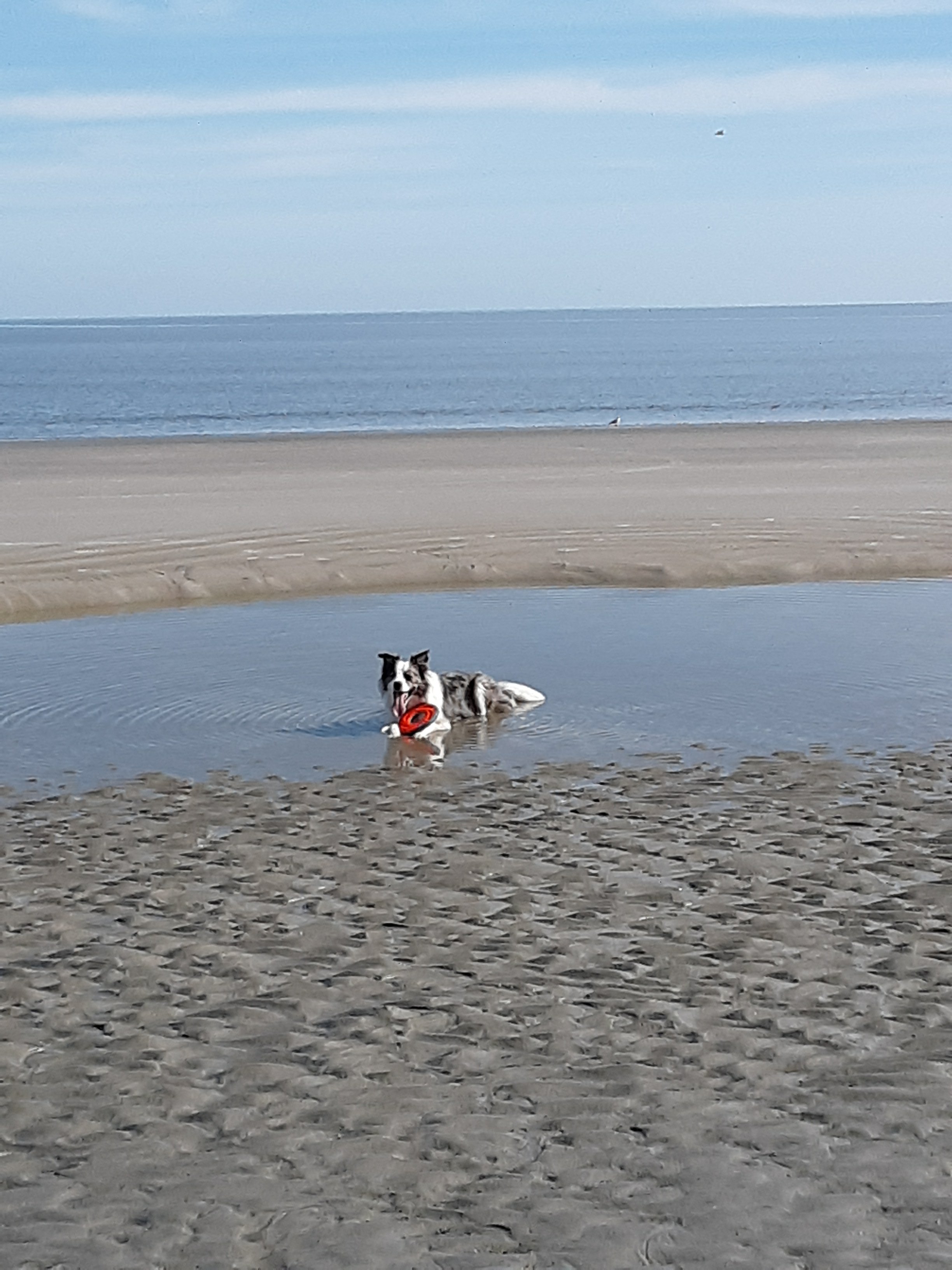
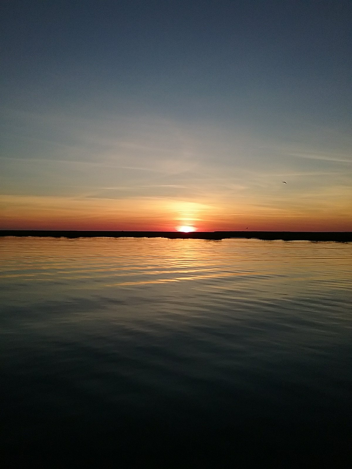
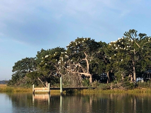
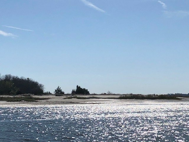
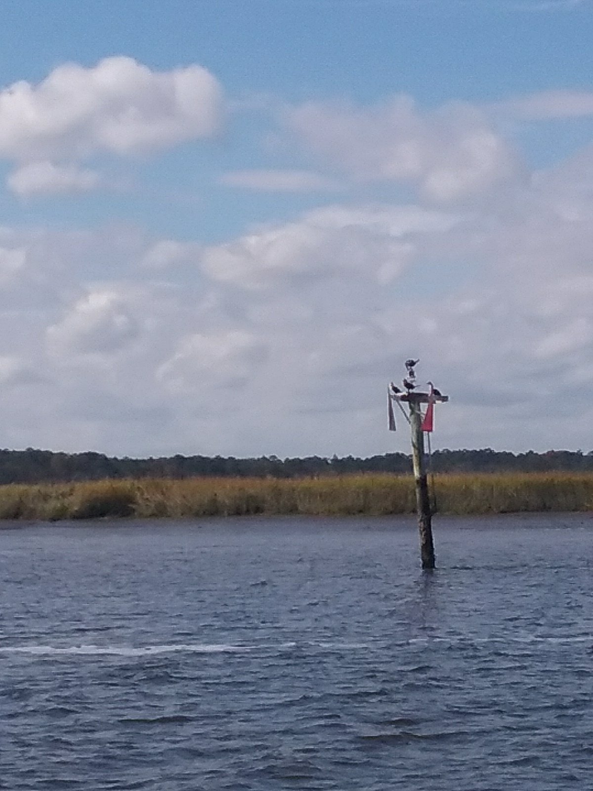
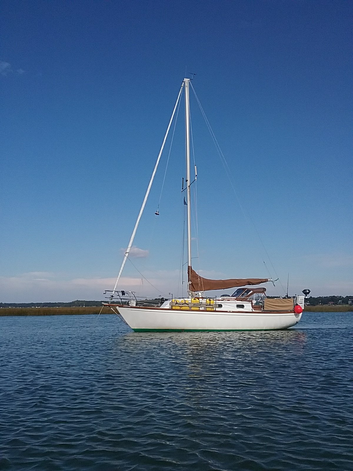
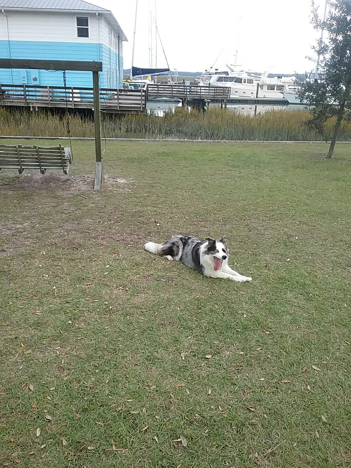
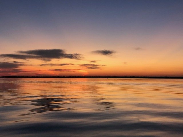
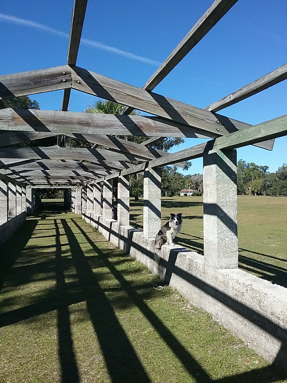
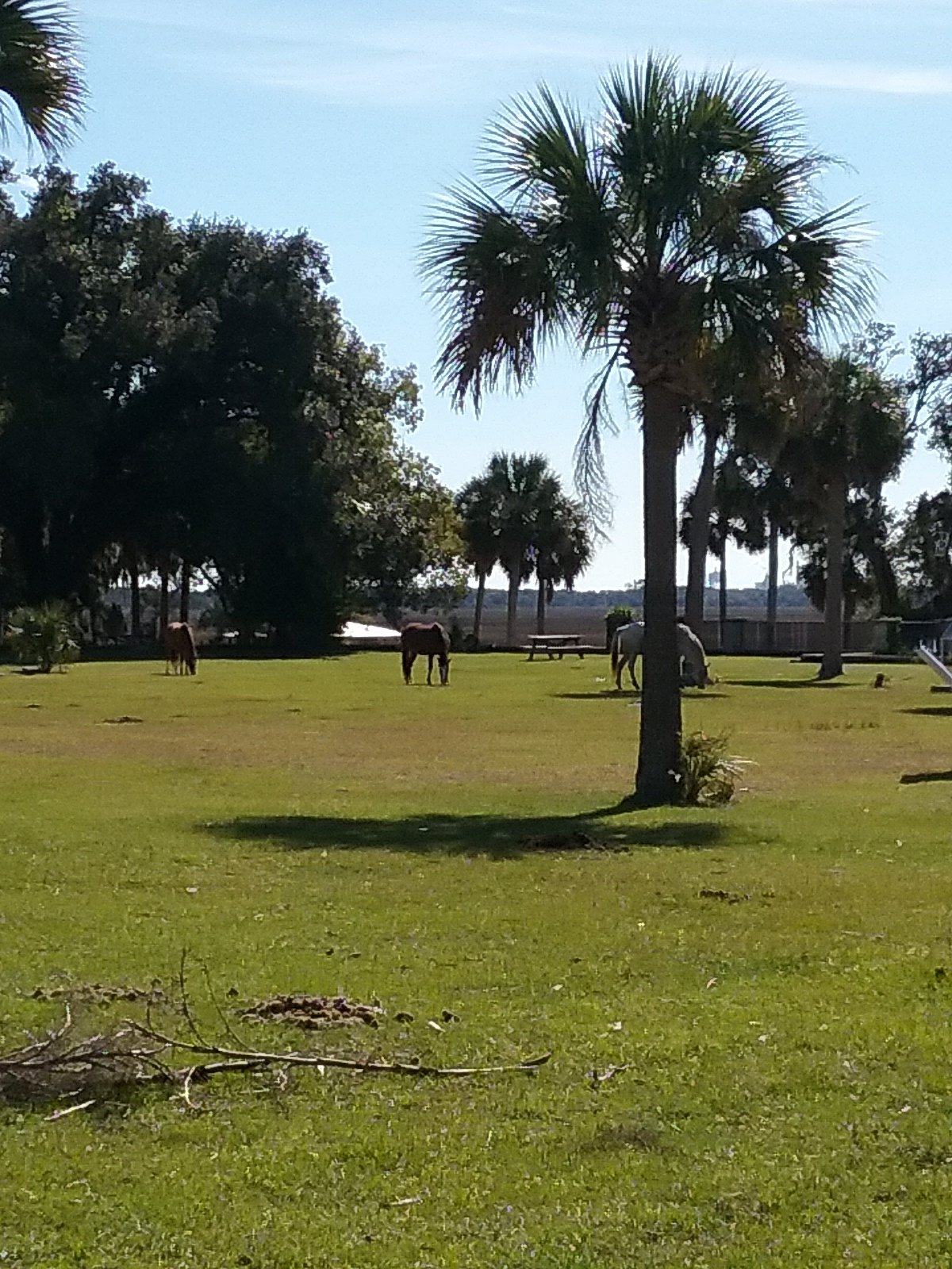
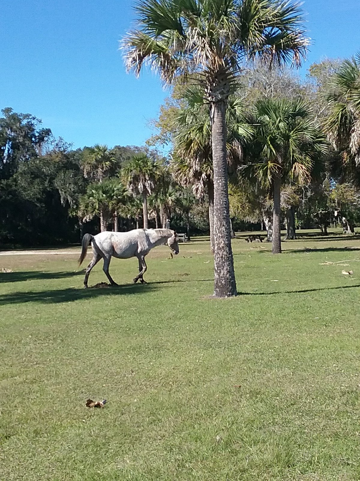
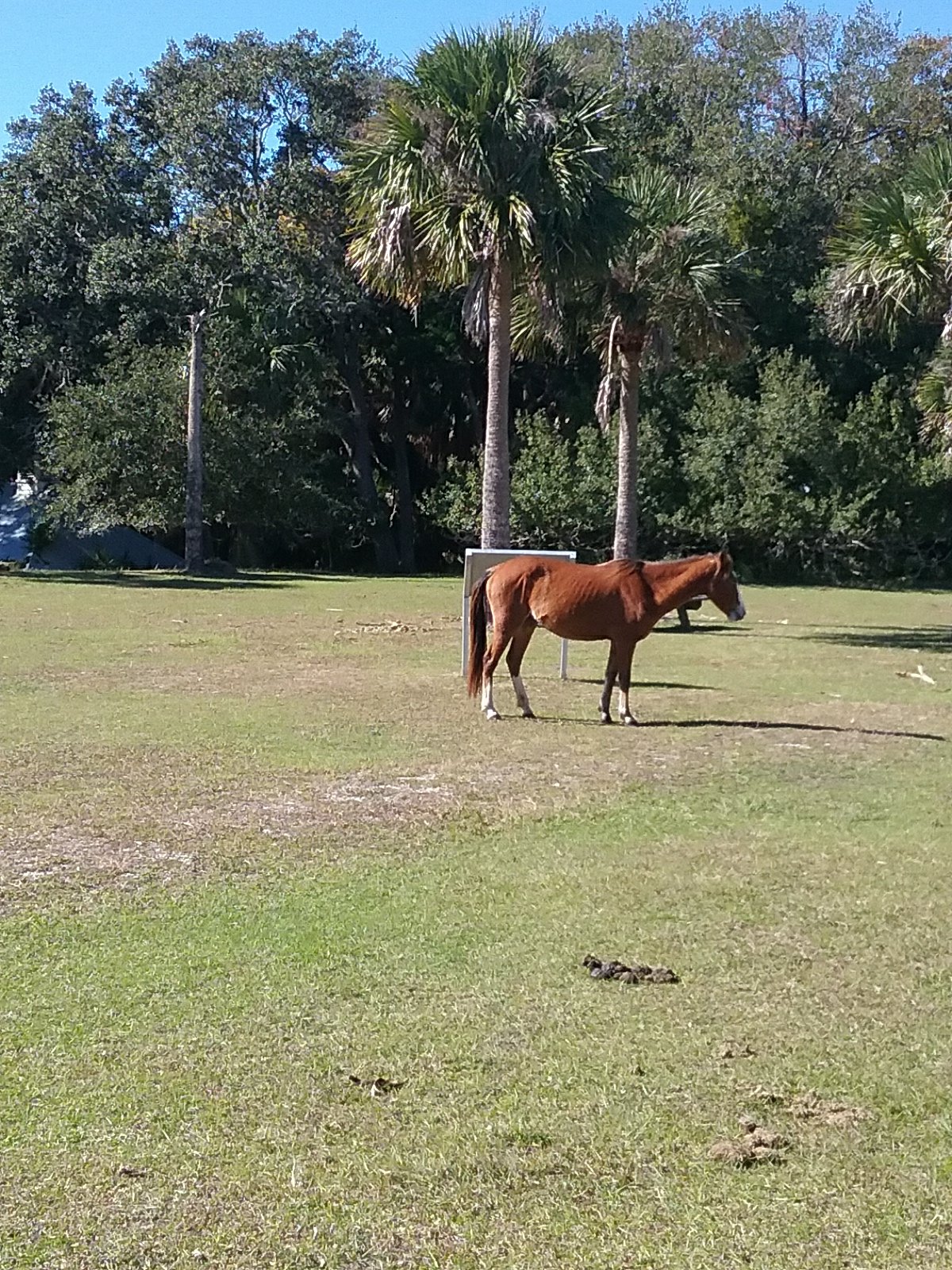
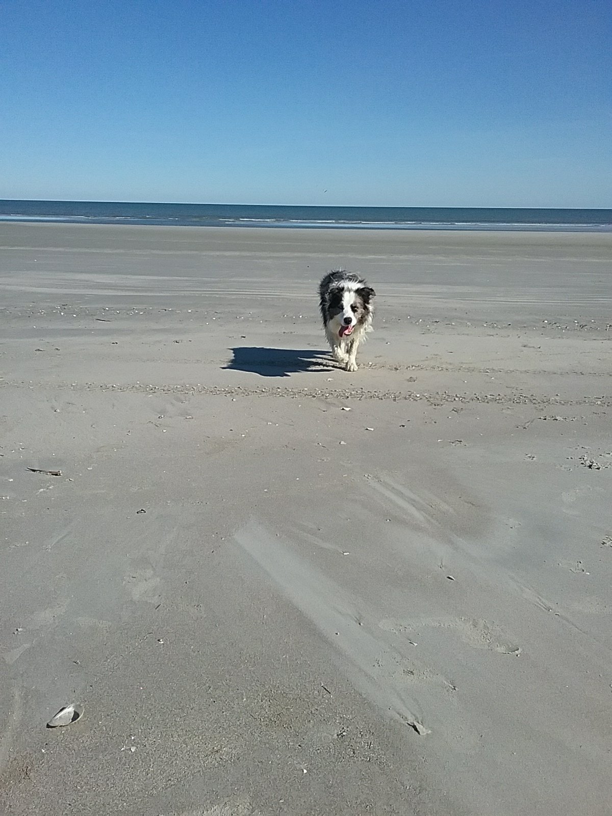
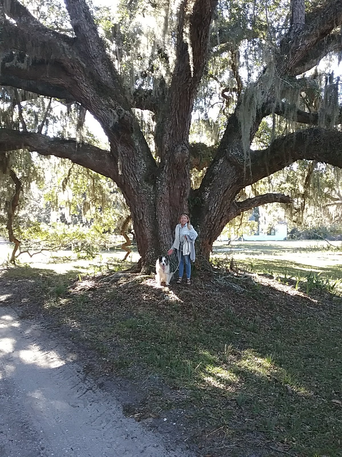
Ollie and I briefly explored the island during our evening commando raid. It really is a special place. The wild horses rule the island. During sunset we watched dolphins swimming around the anchorage. We could hear the distant playing of “Taps” from the Navy base. The word picturesque would be an understatement.
November 28th Thanksgiving- Cumberland Island, GA
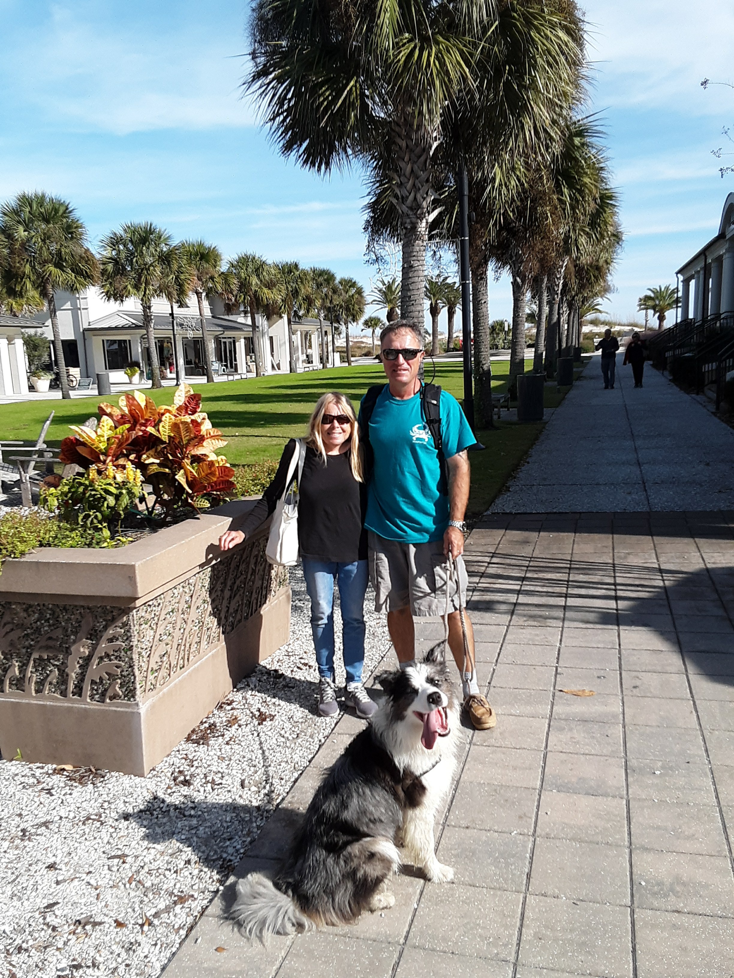
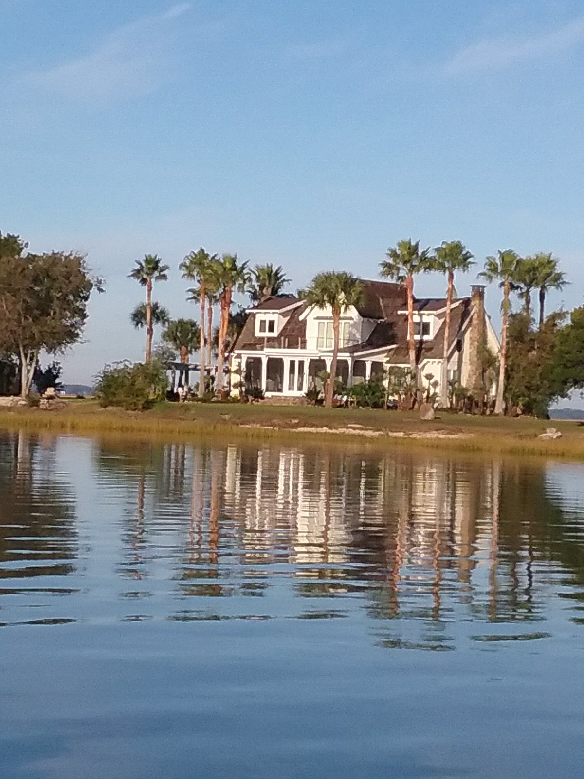
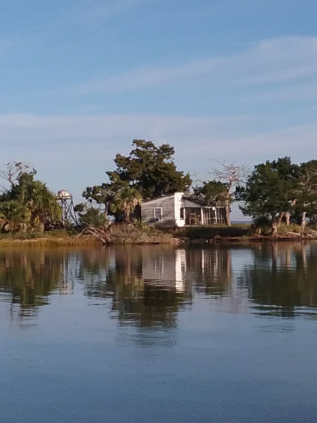
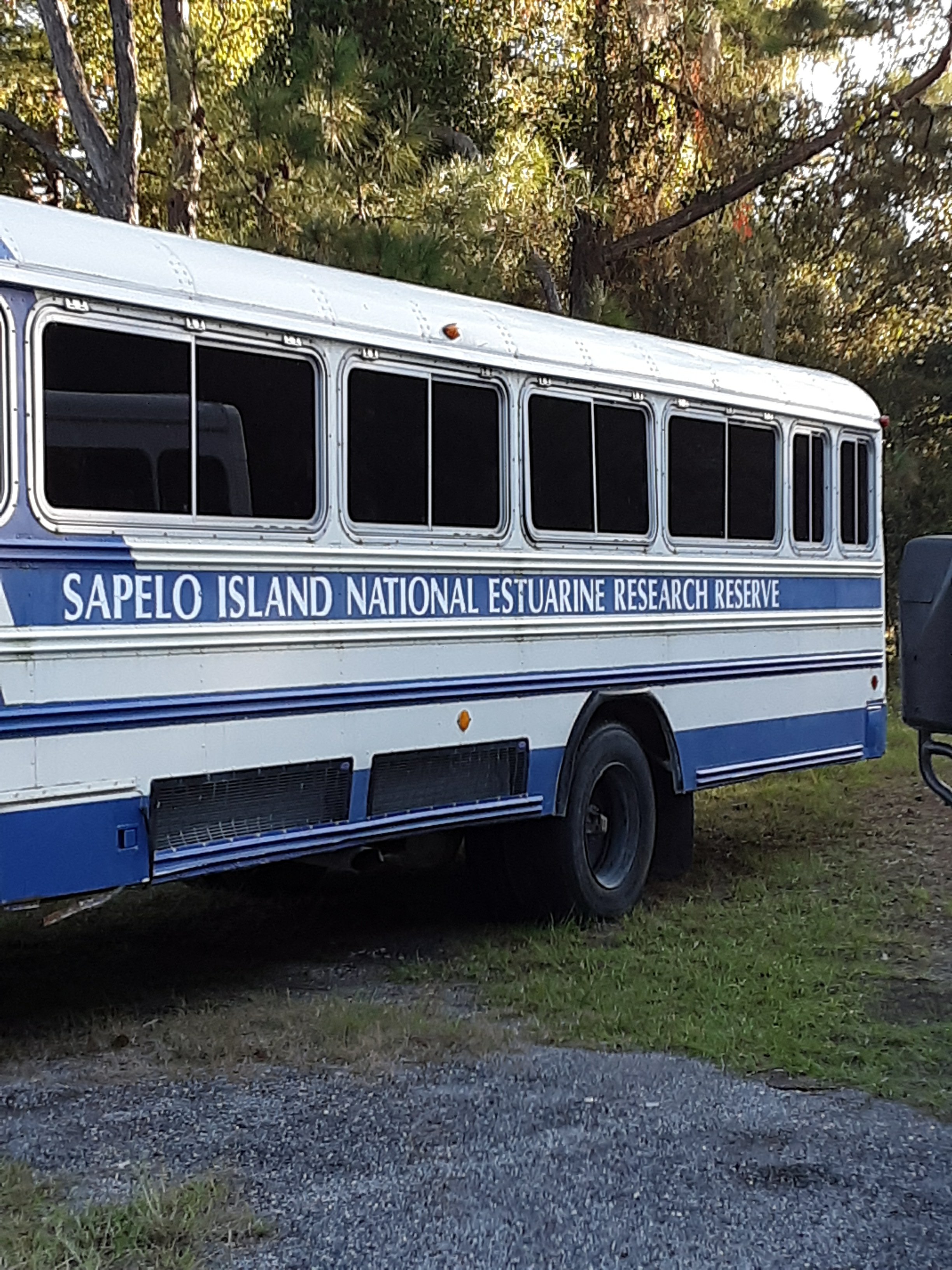
For Thanksgiving I’m thankful this island was made into a national park. At one point a developer owned a bunch of land but the Carnegie family and several other organizations got him to sell out to the Feds. If you appreciate nature, history, hiking, and happen to be in southern Georgia, this place should be on the list. We hiked around one portion of the island today. We’re going to check out another area tomorrow. My amature photos don’t do it justice.
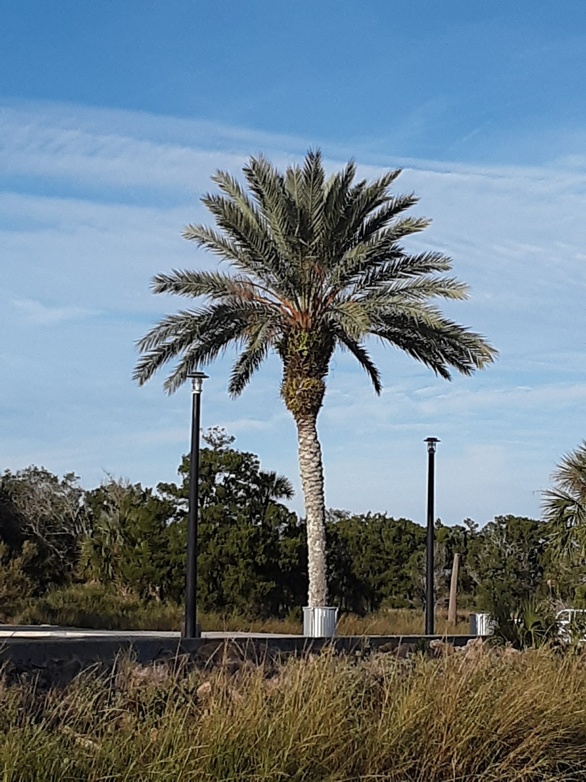
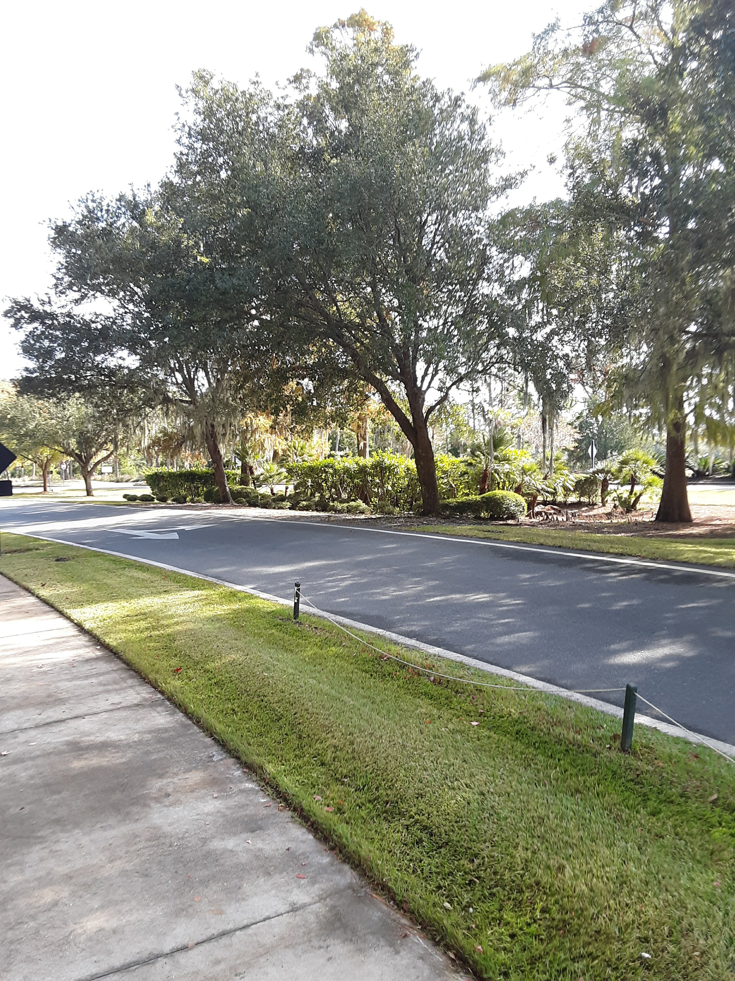
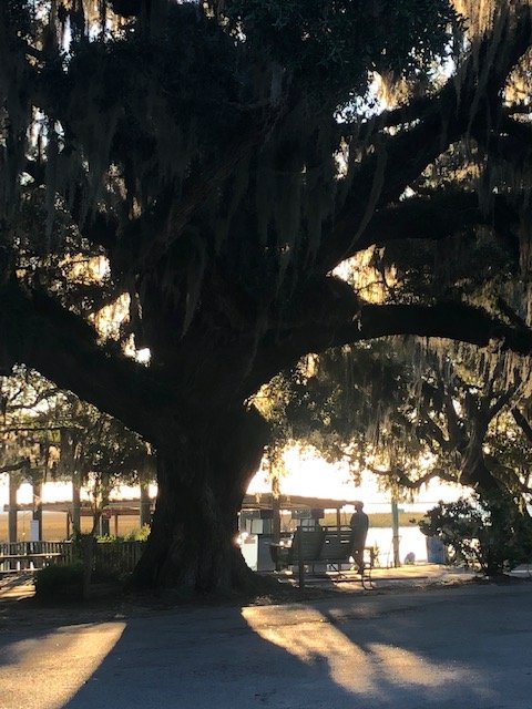
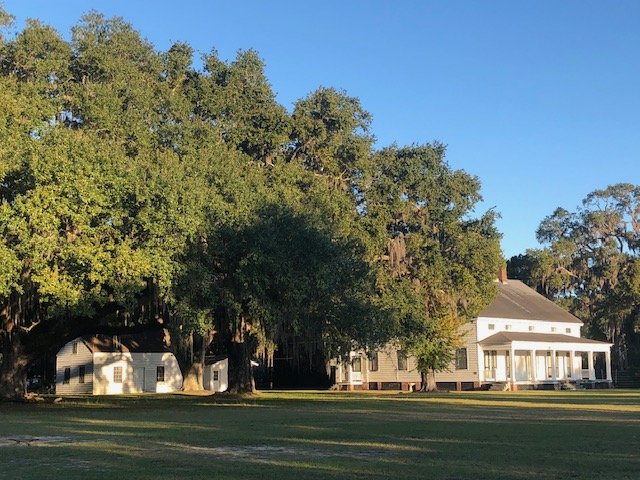
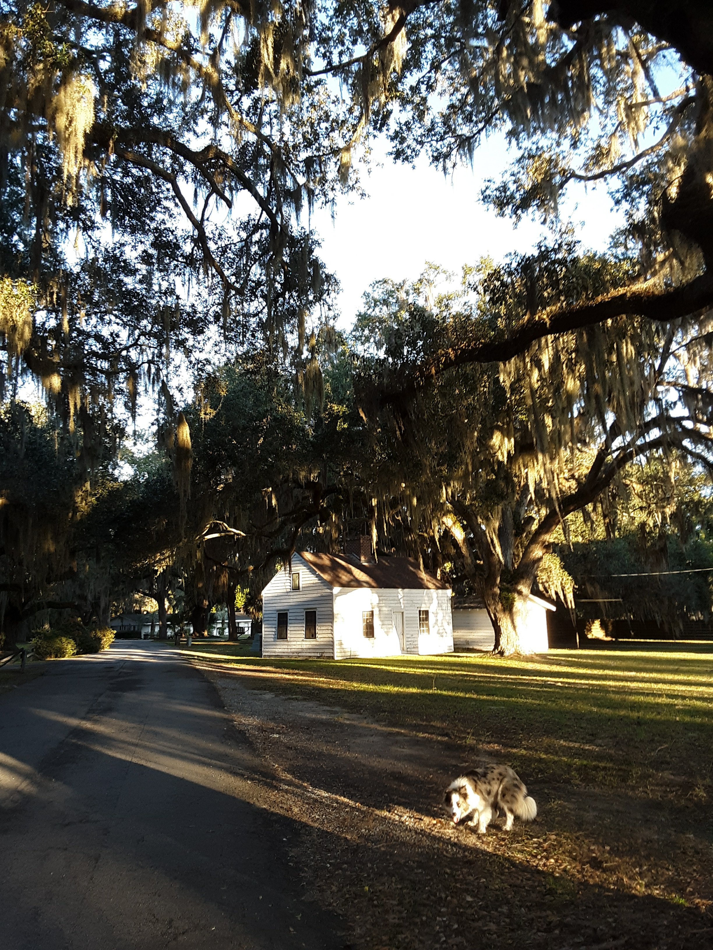
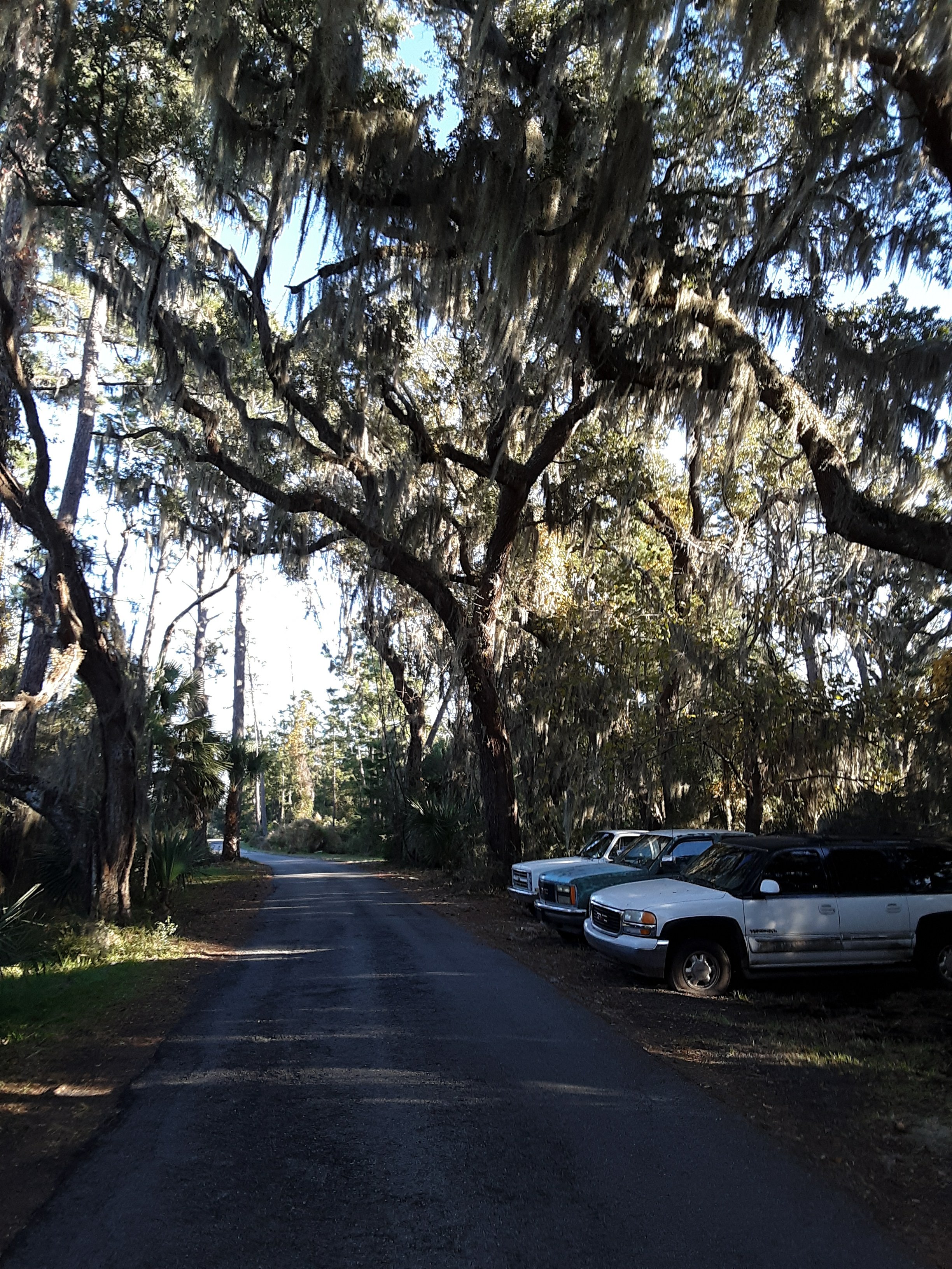
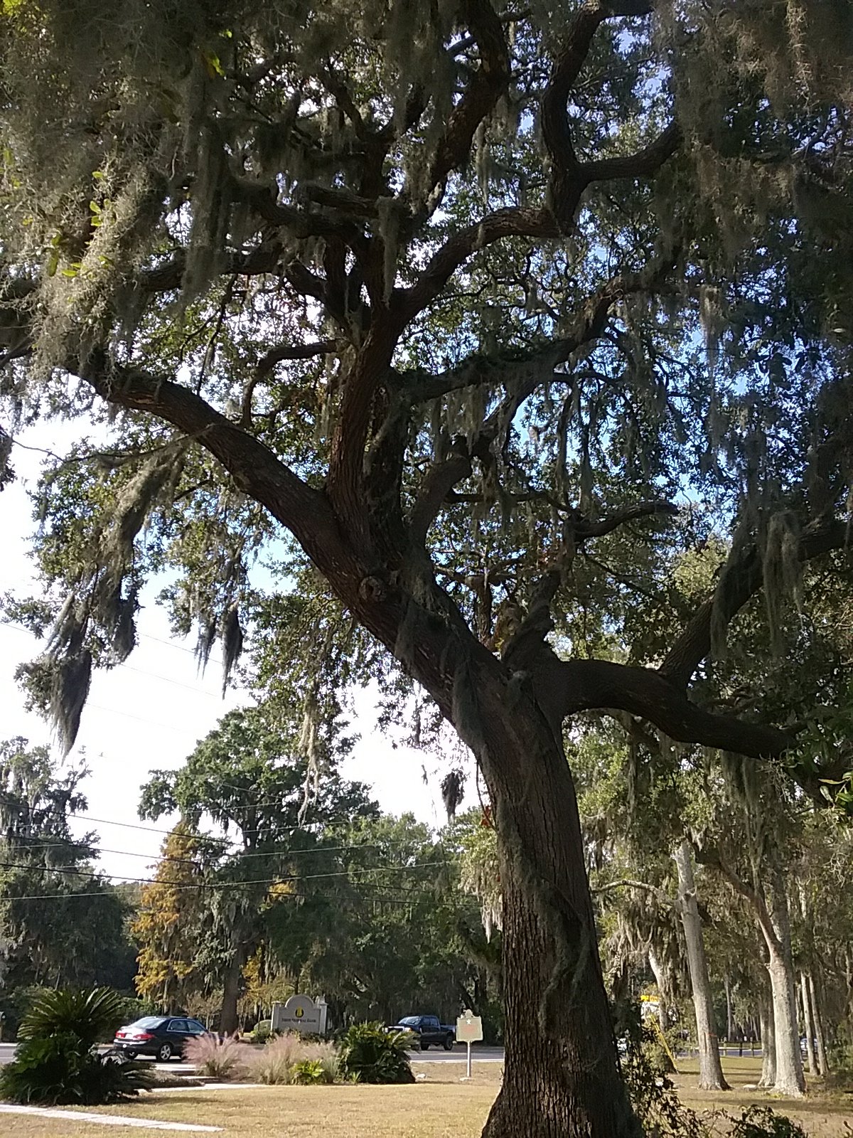
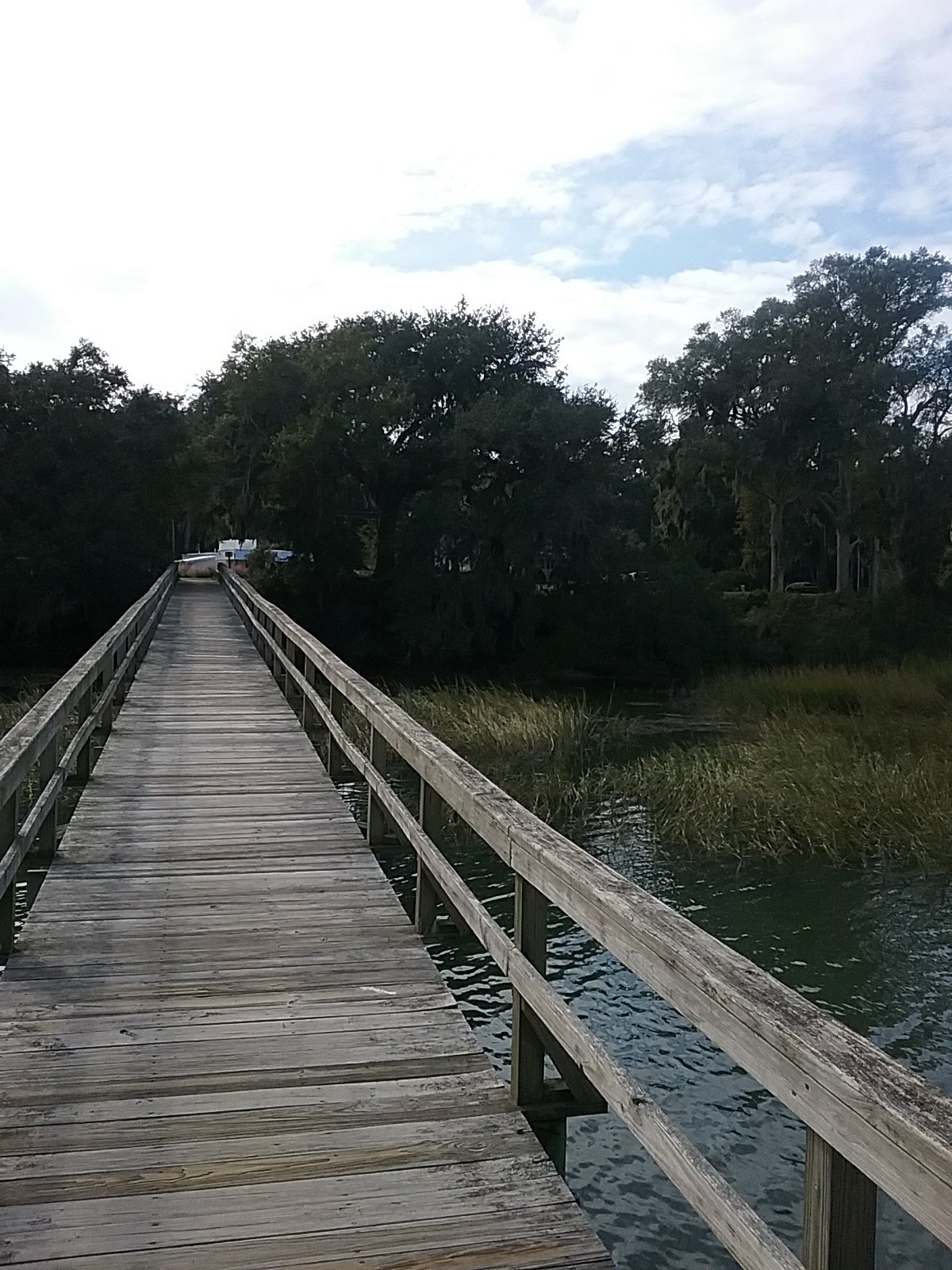
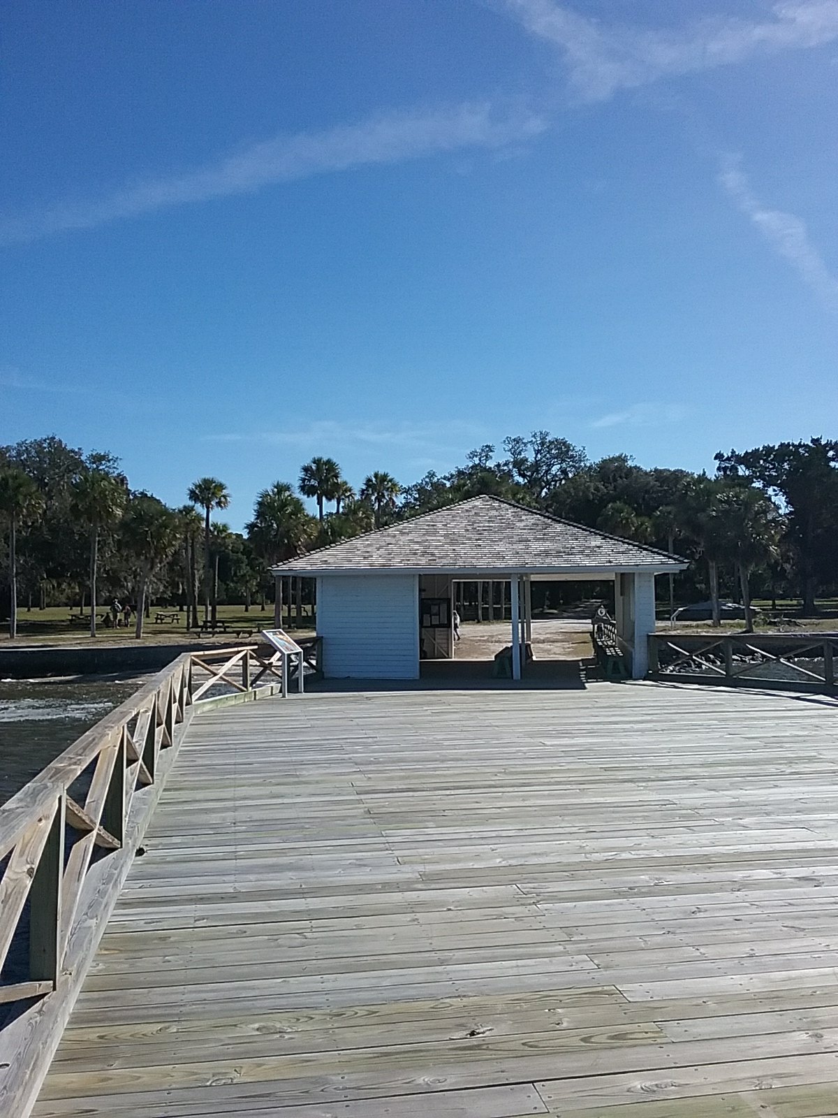
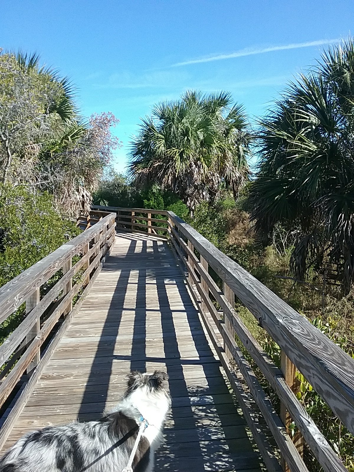
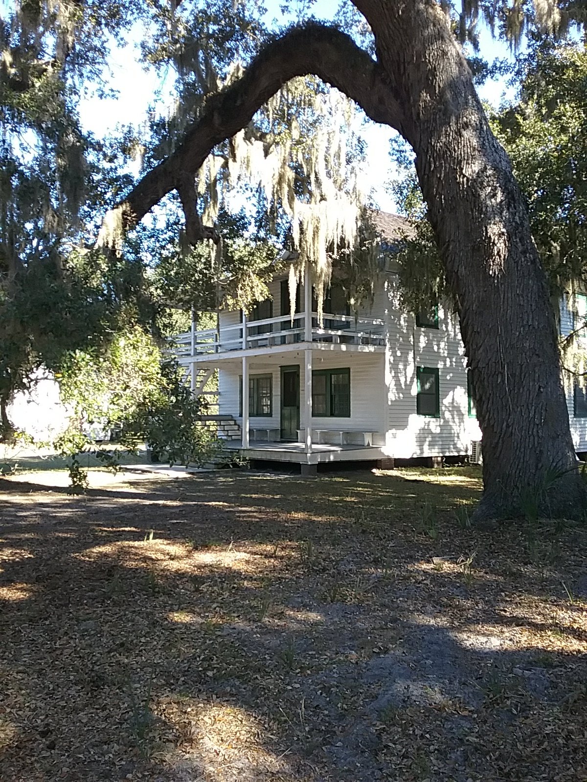
The dock and the road in. The forest on the island is filled with live oak, magnolia, and palms.
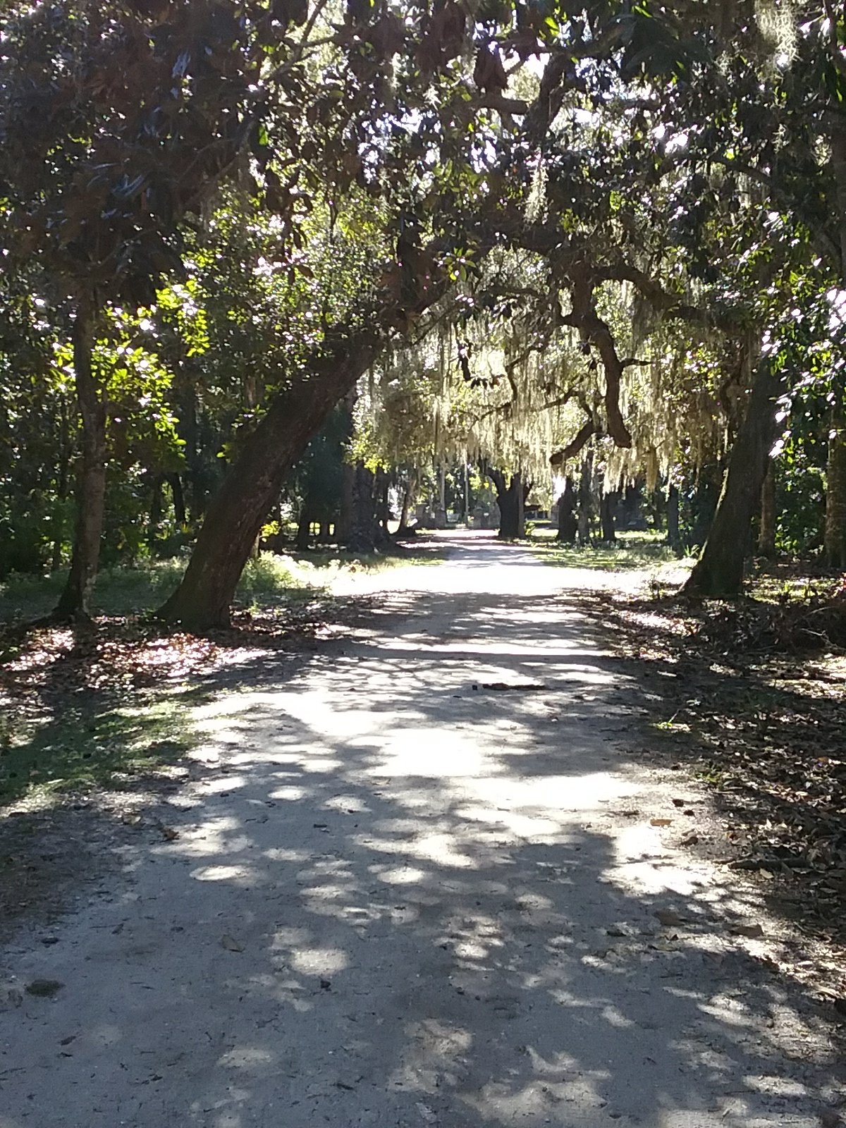
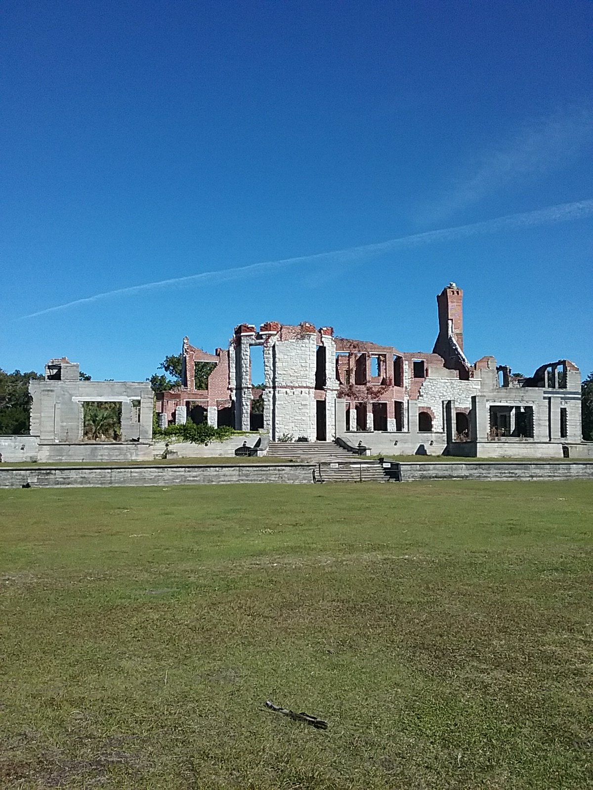
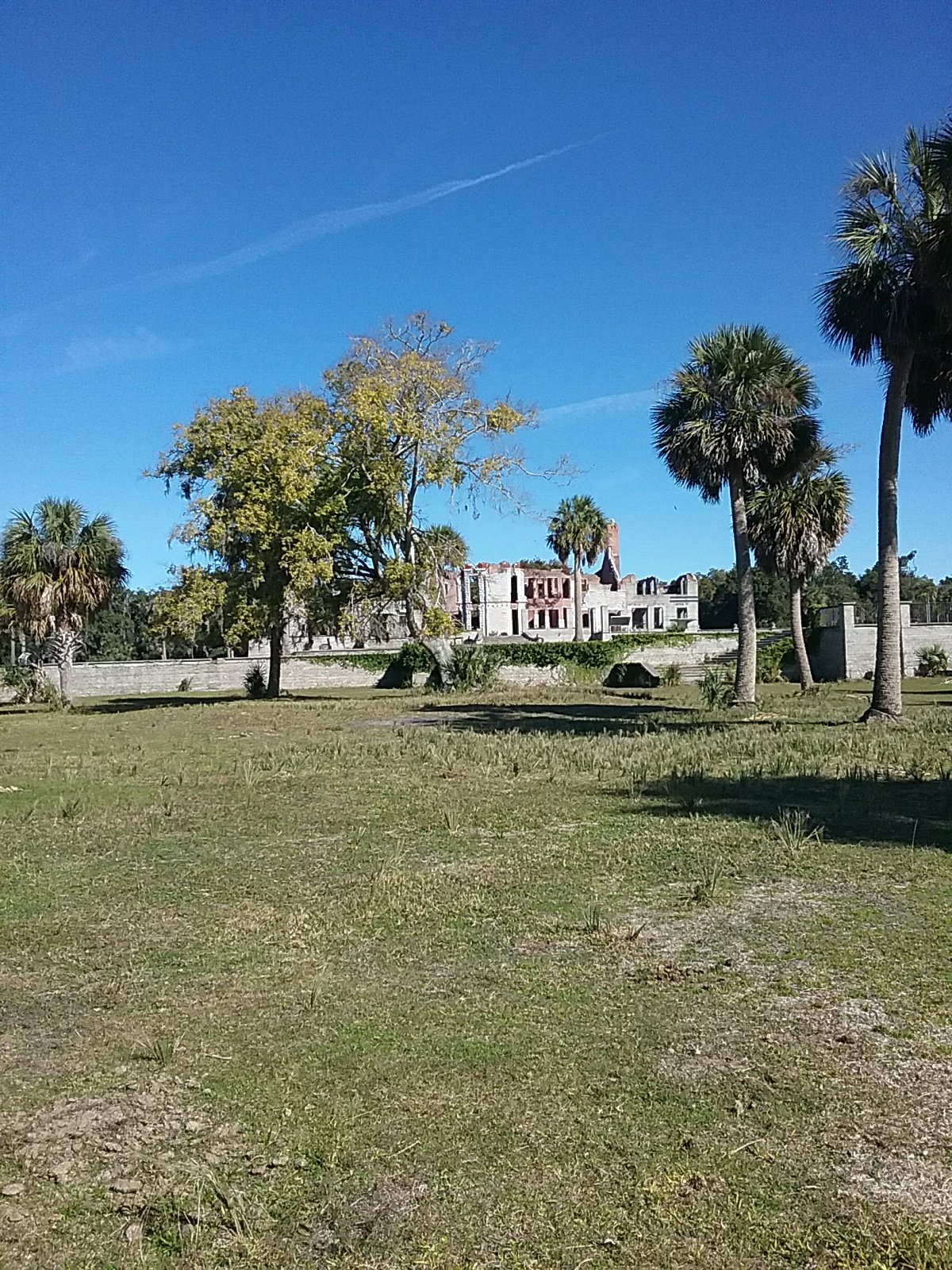
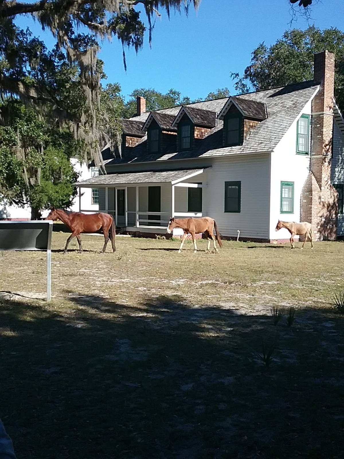
The road in was filled with horses last night but they moved on today. We turned down another lane toward the ruins of Dungeness Mansion.
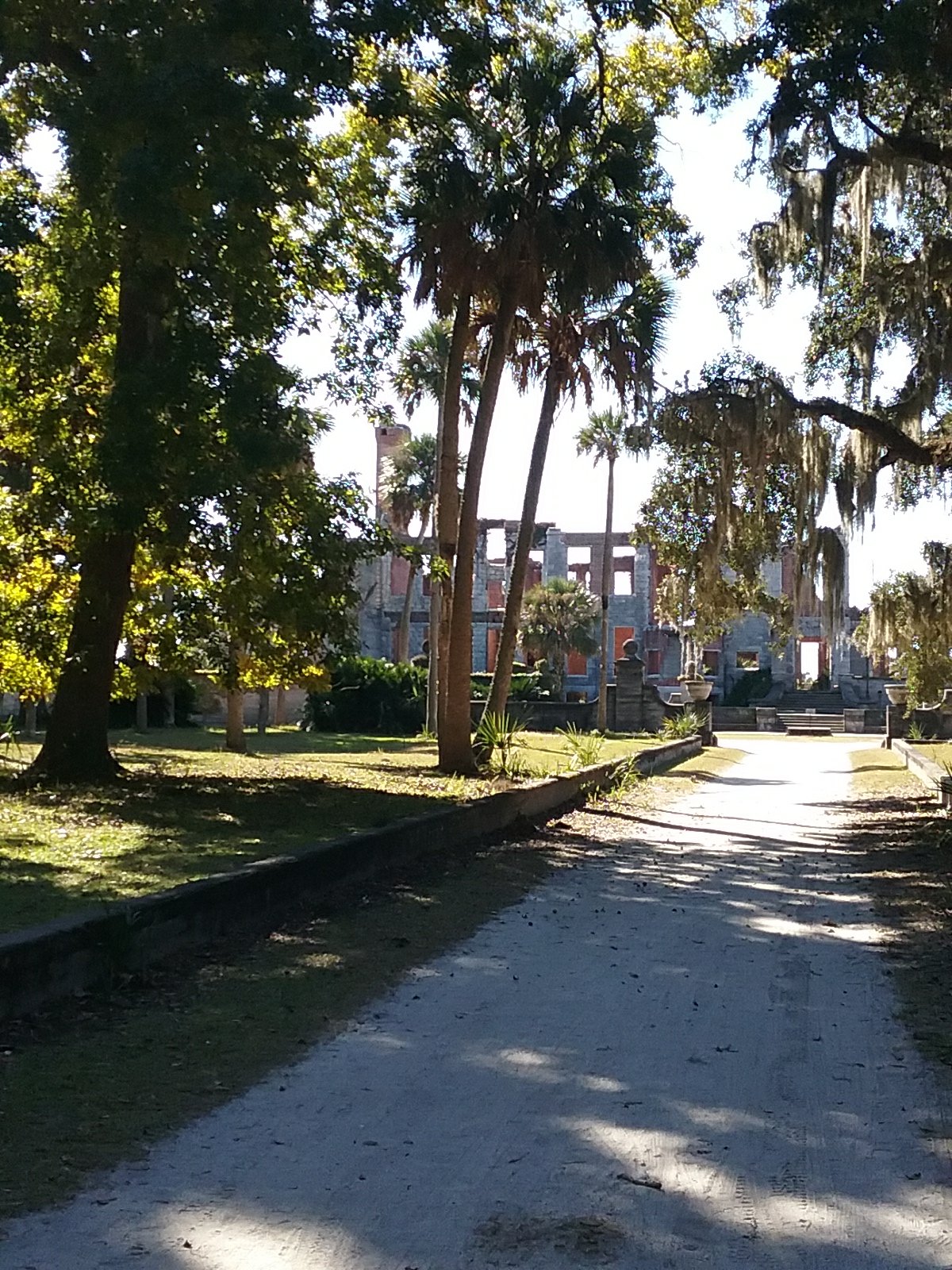
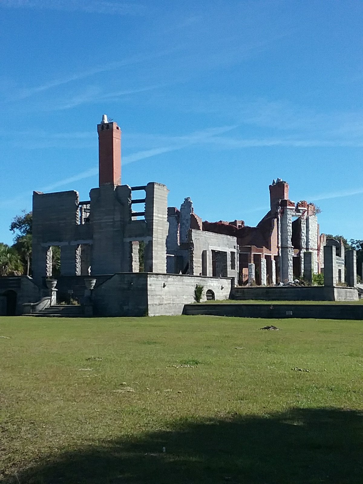
The mansion and grounds have a long history. The last family to own it were the Carnegies. It burned down in 1959. Allegedly a poacher was shot by a groundskeeper. The poacher survived and lit the place up.
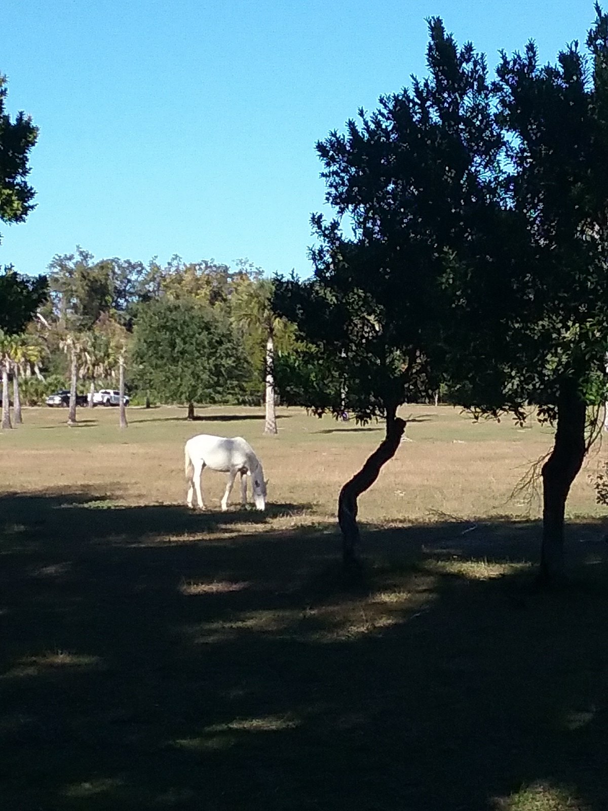
Some of the residents .
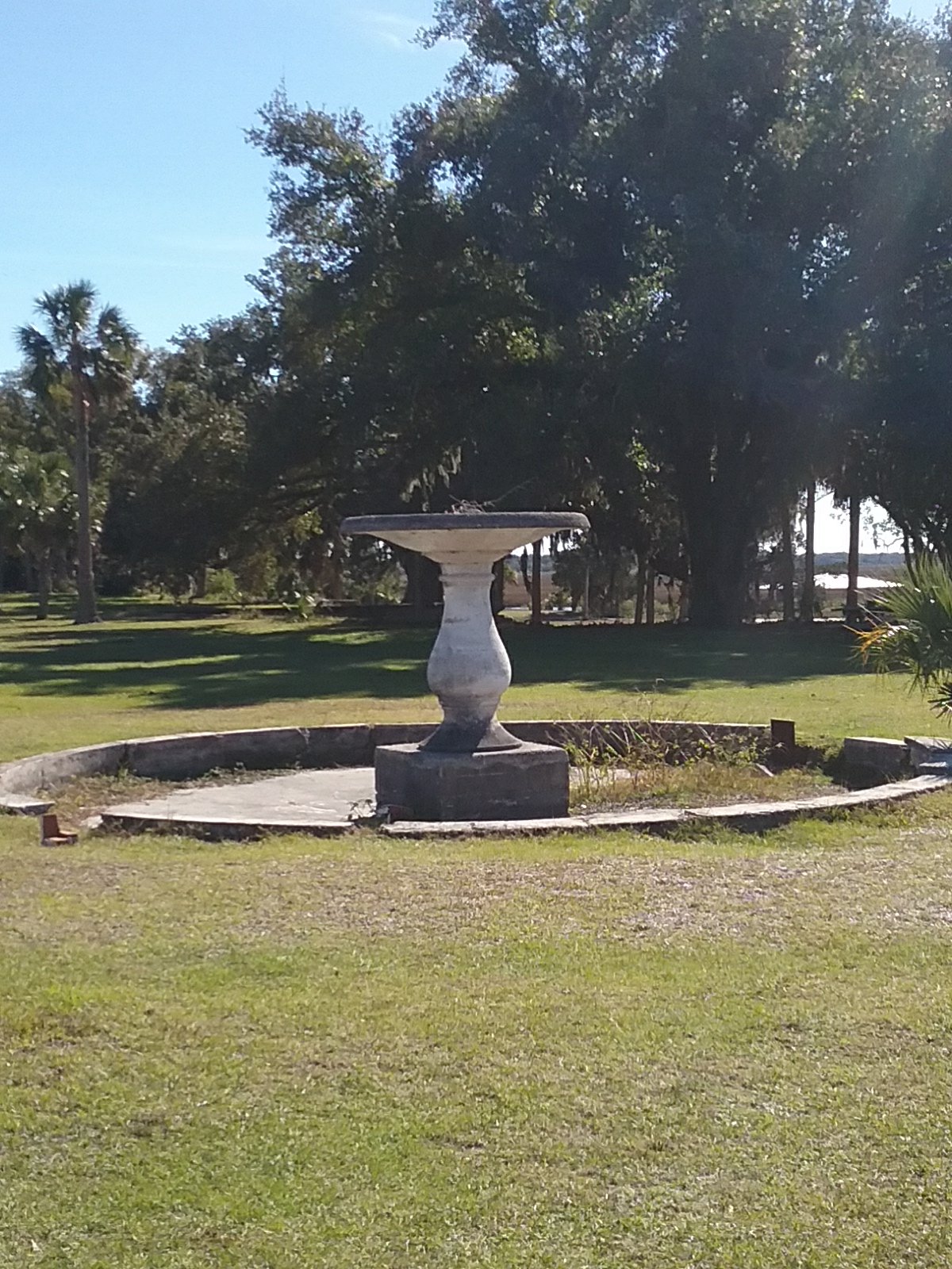
More ruins.
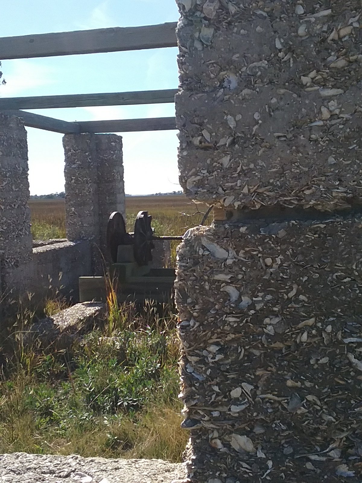
Many of the old walls are built from Tabby. A mixture of lime, shells, and mud.
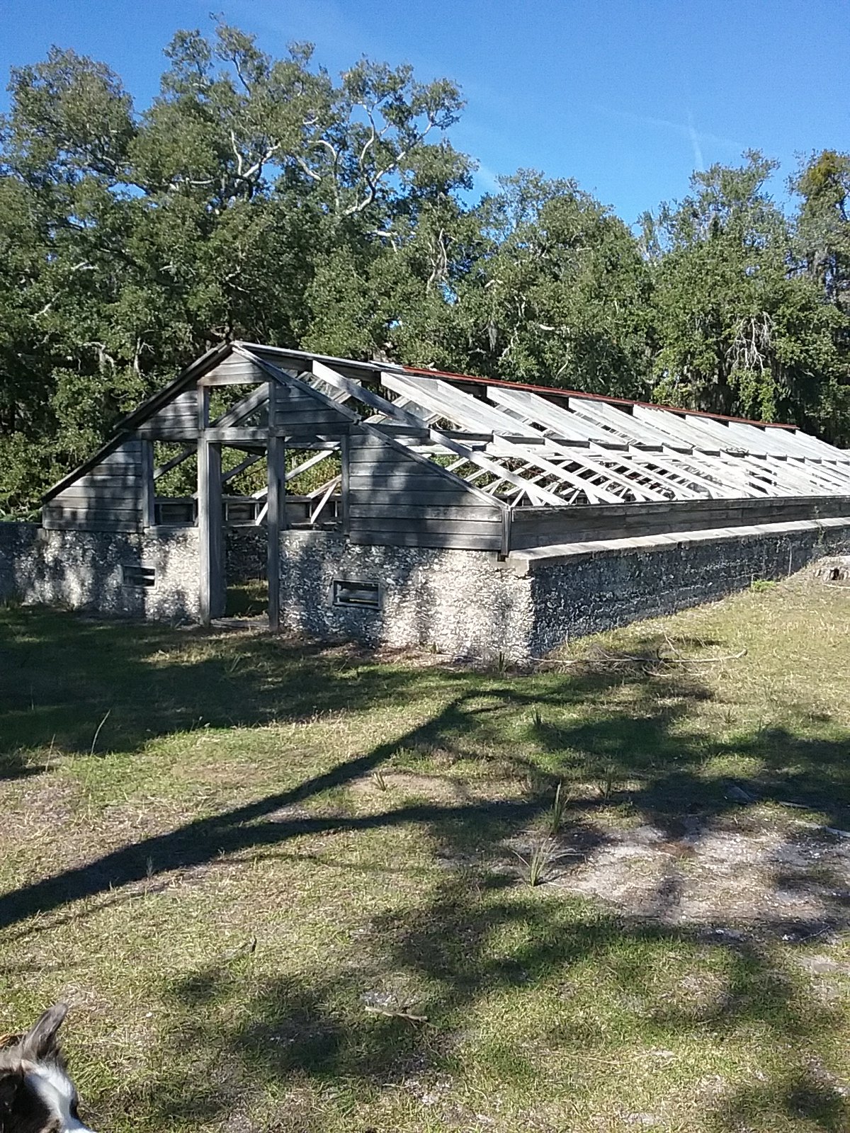
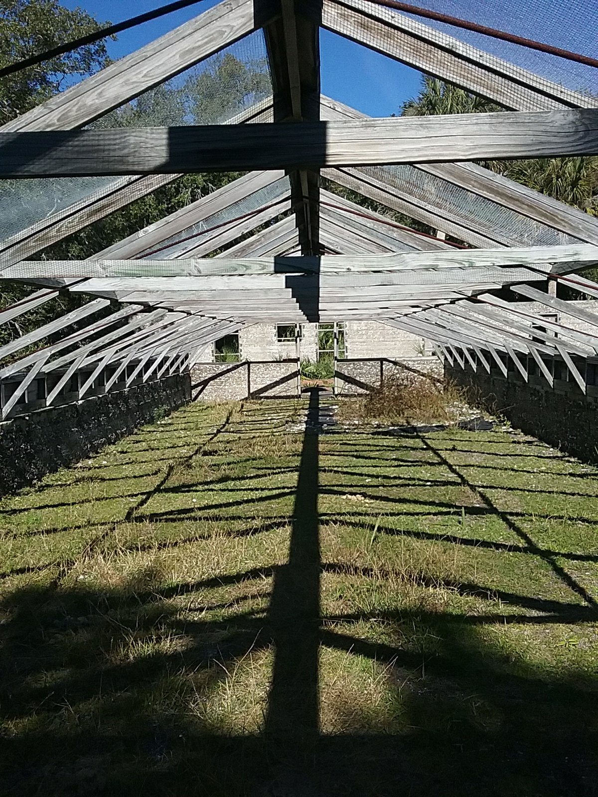
Greenhouse.
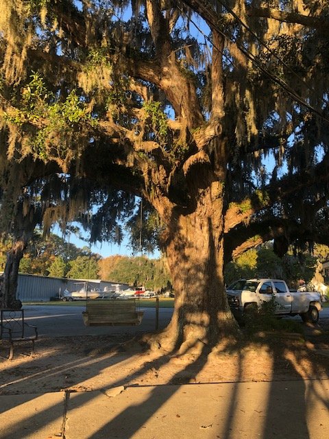
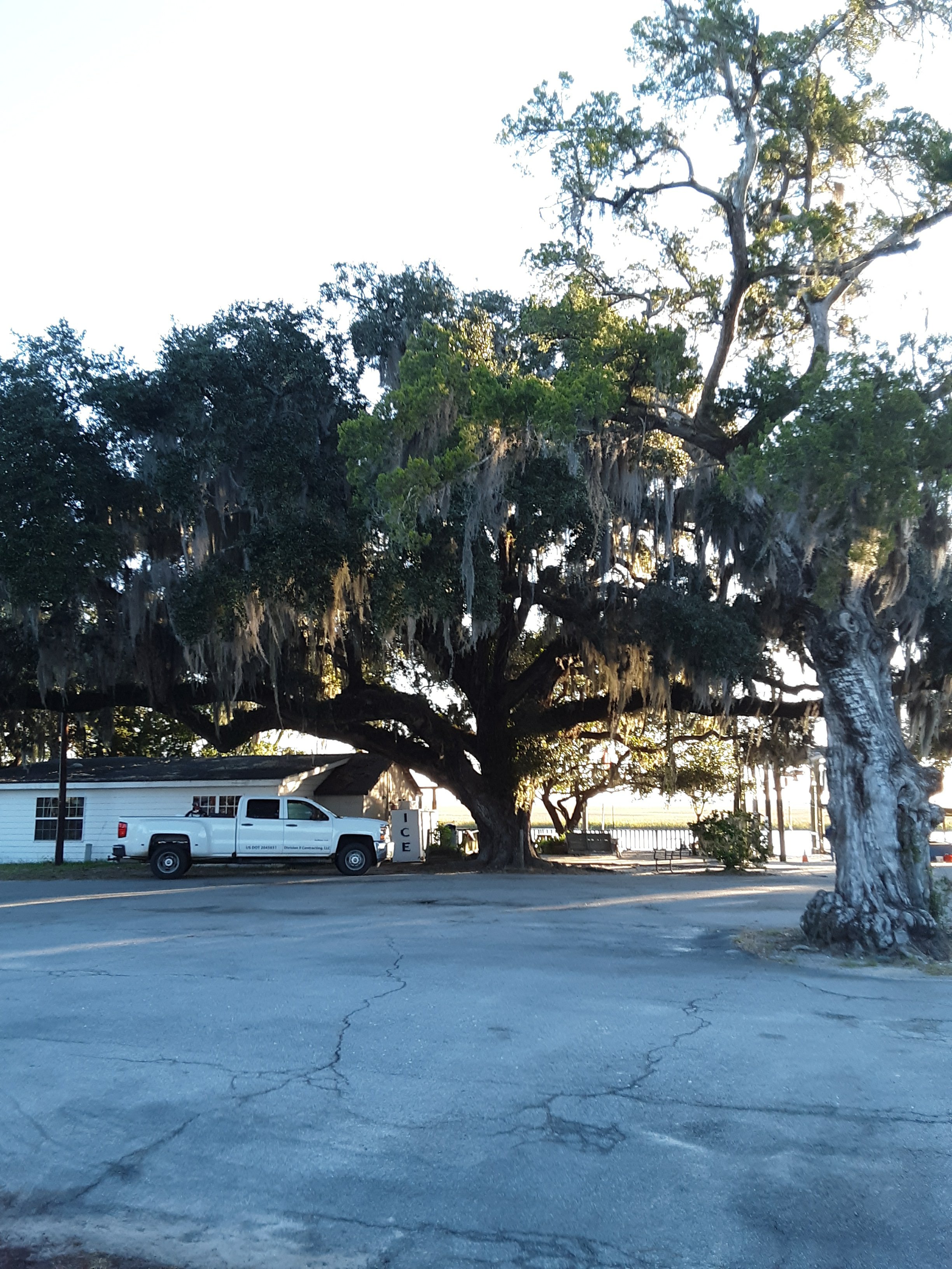
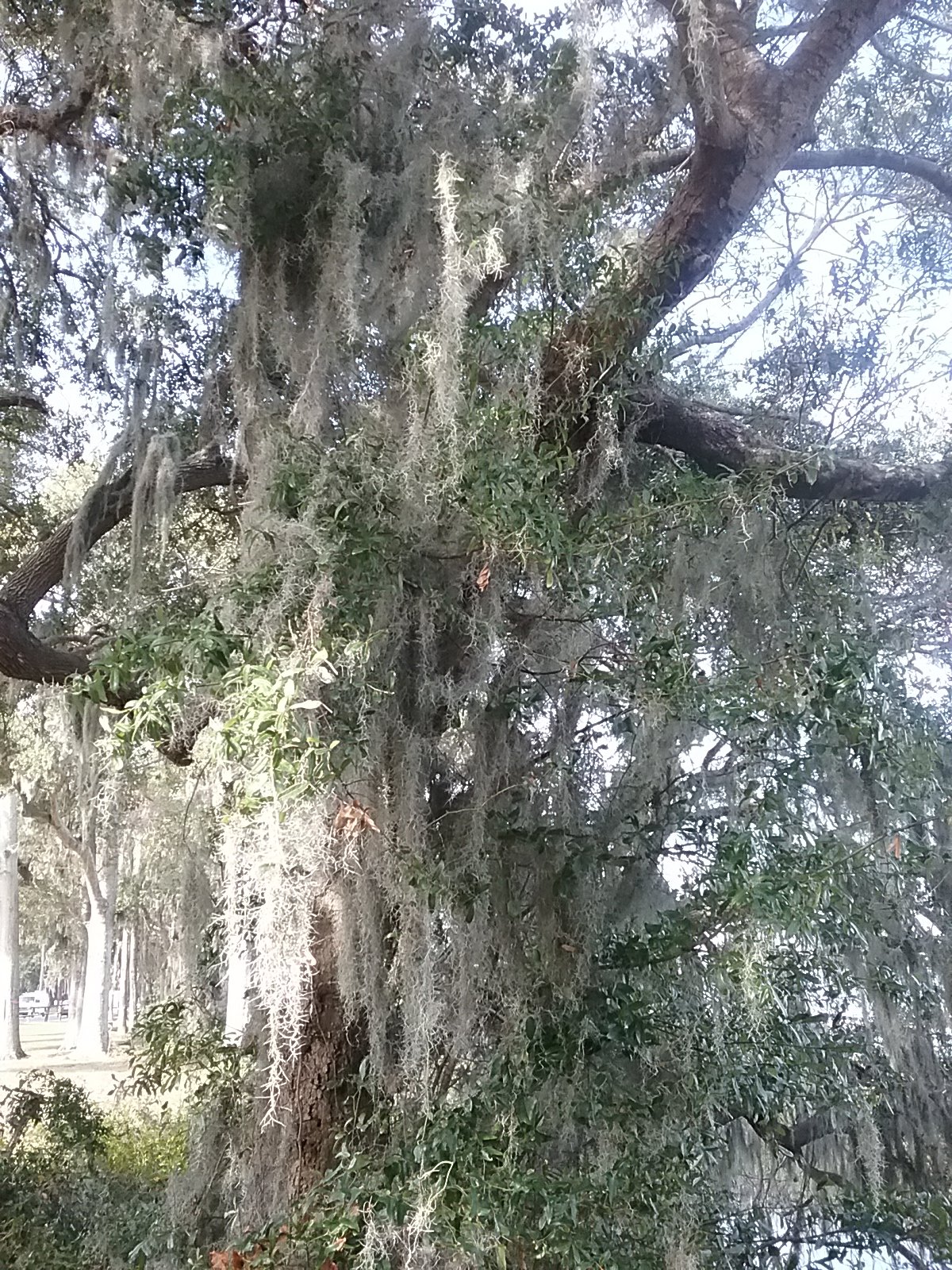
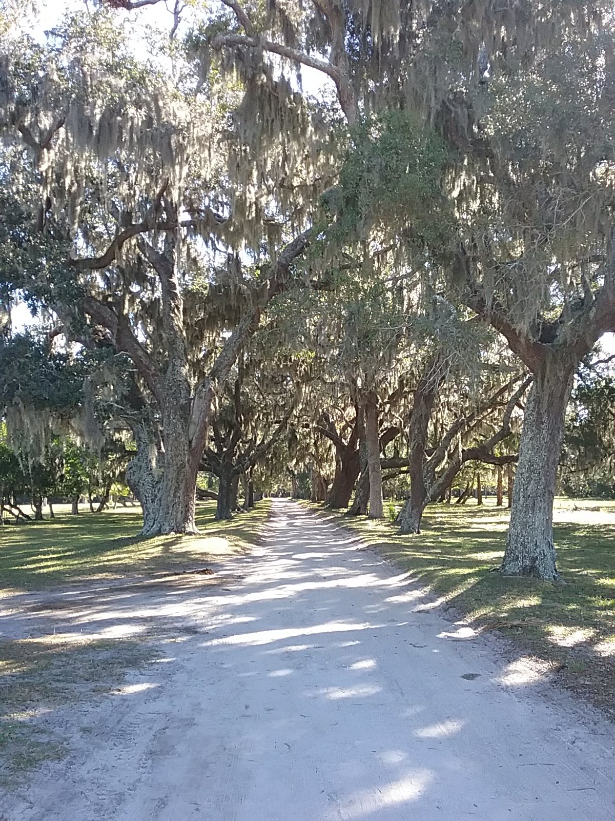
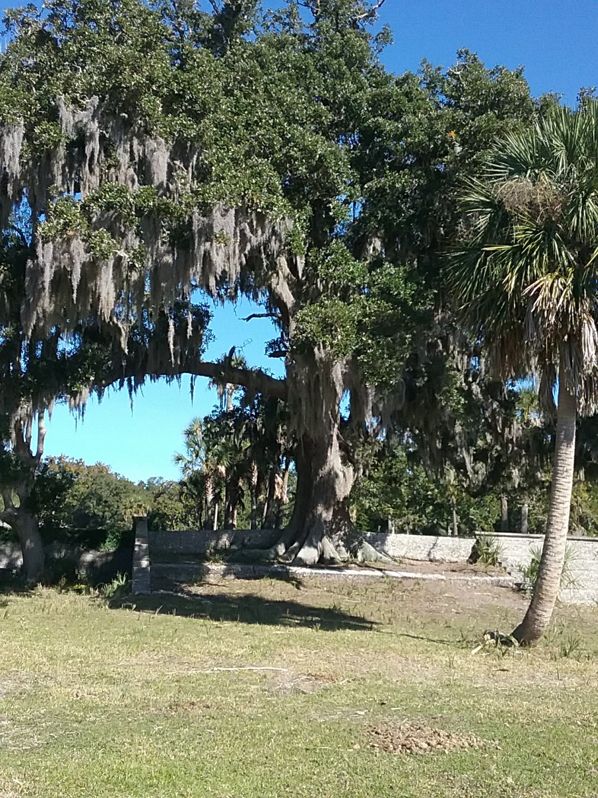
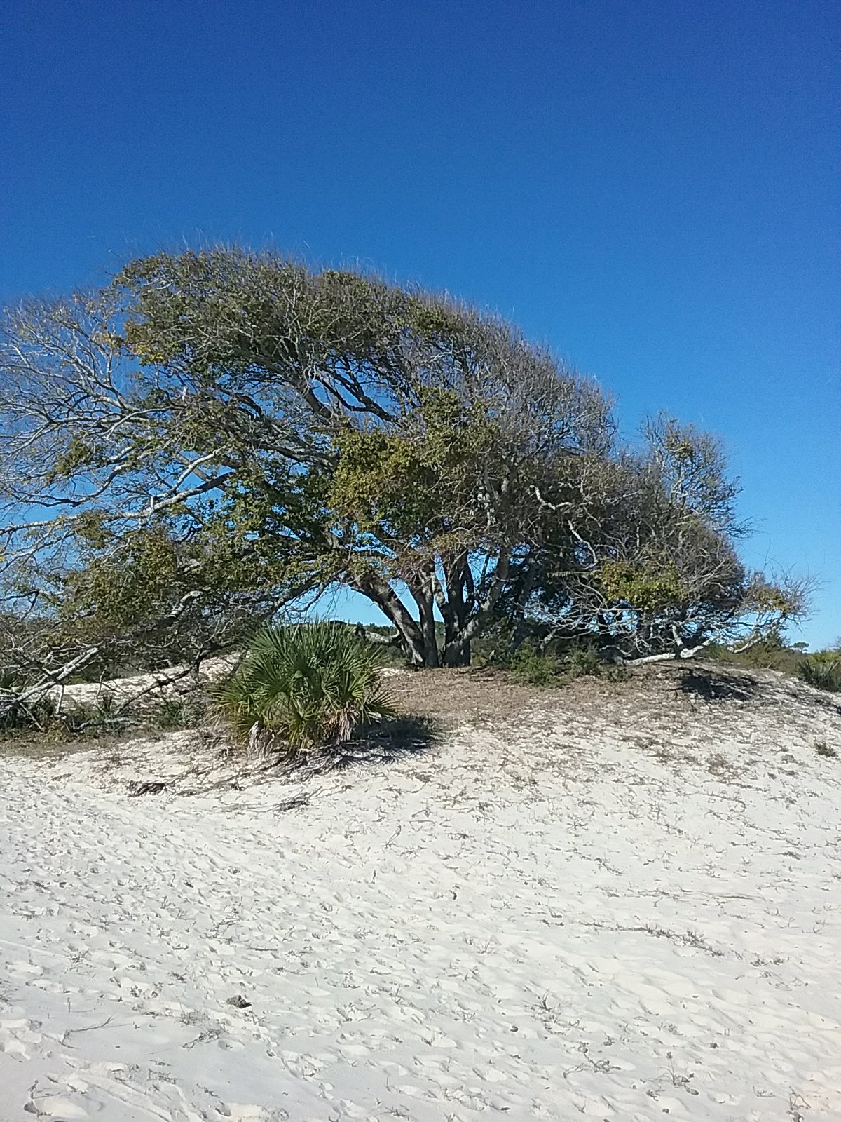
These live oaks are unbelievable!
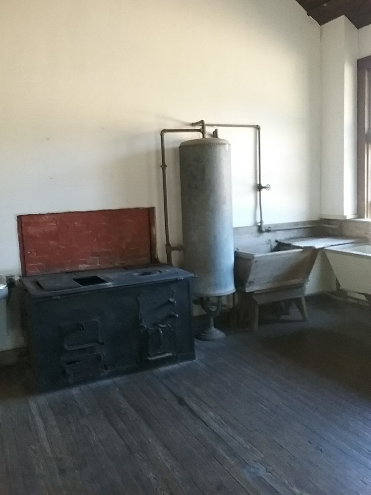
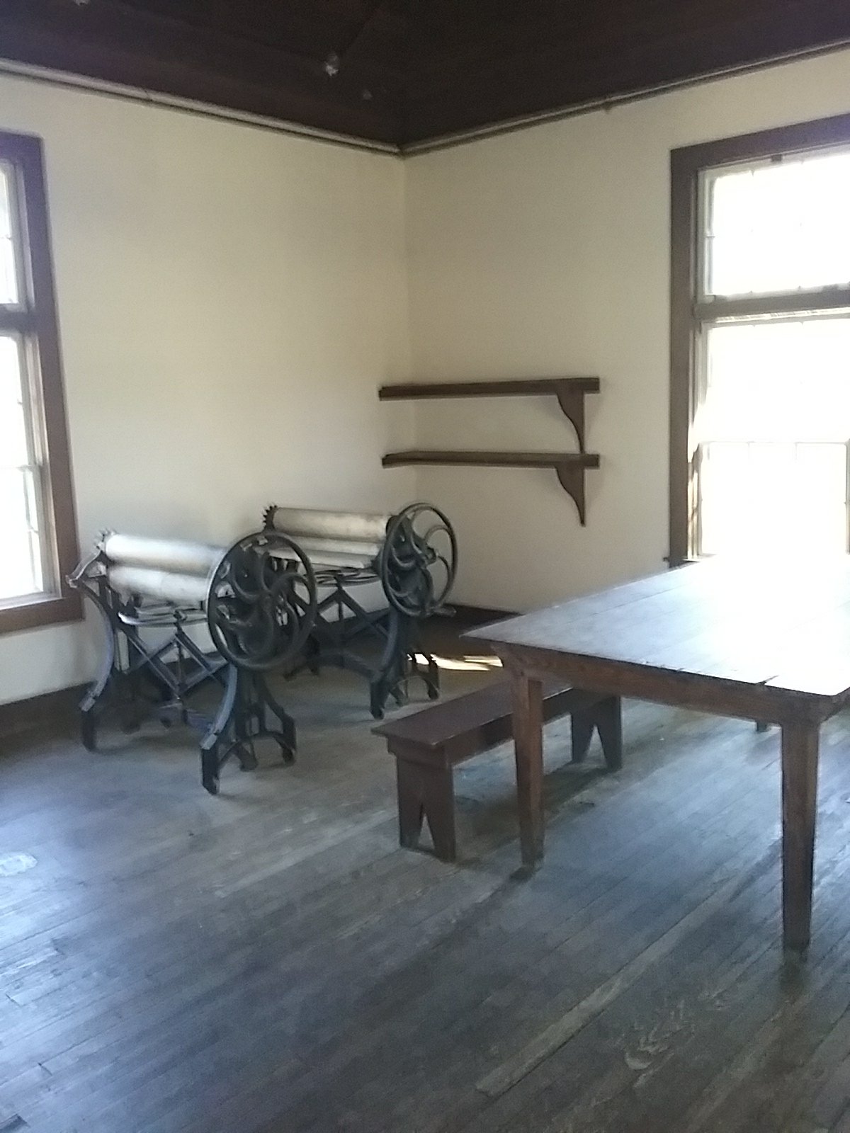
The restroom is in a building that the mansion staff used.
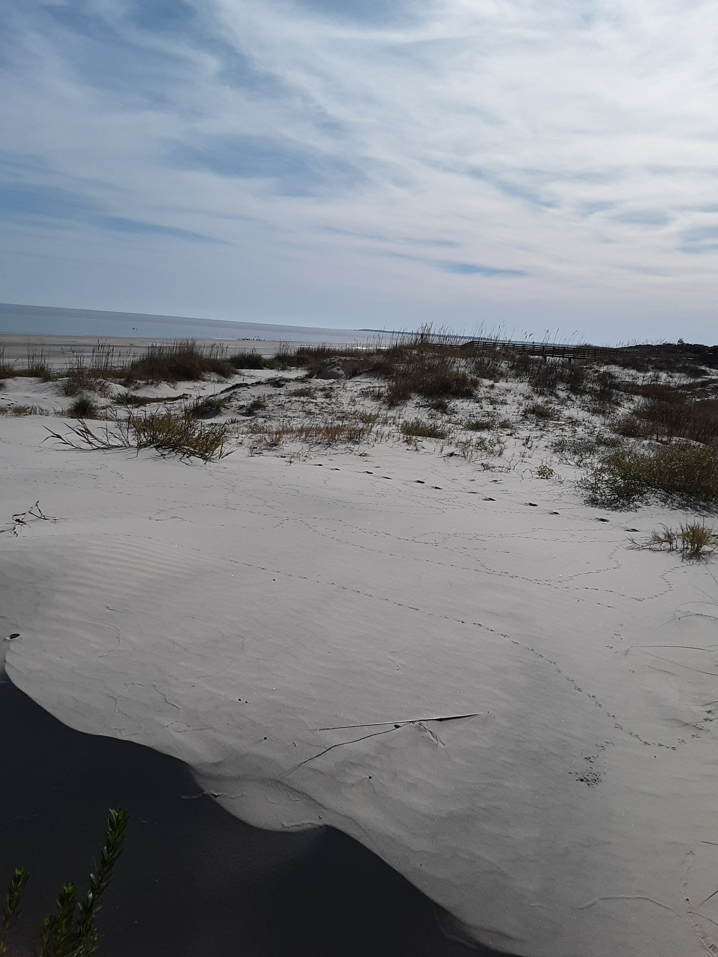
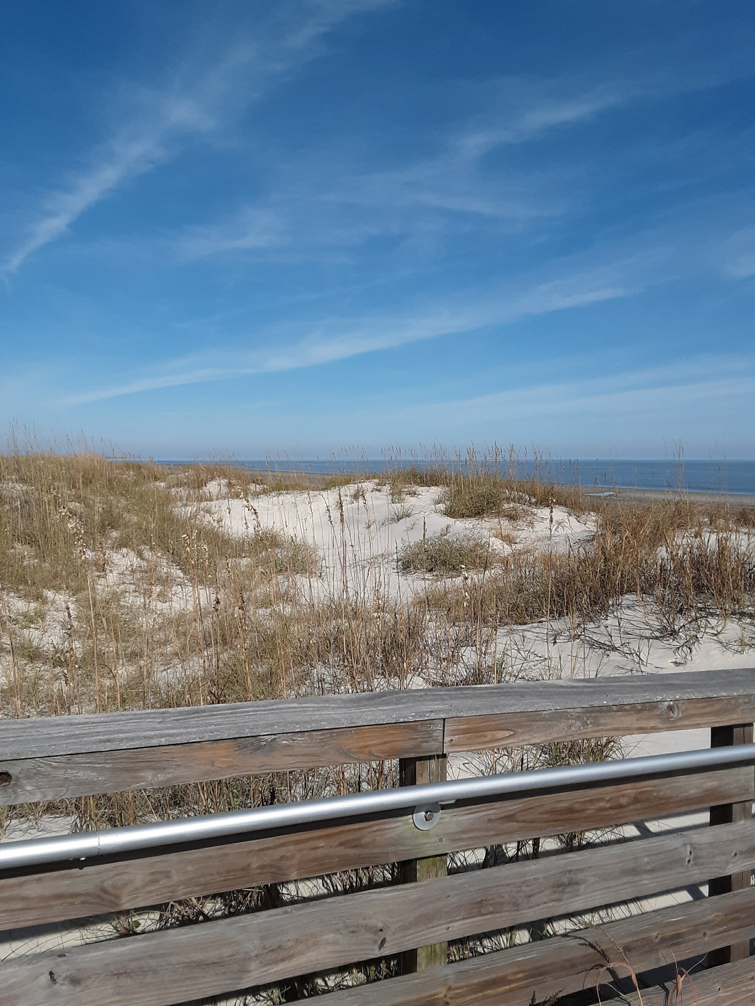
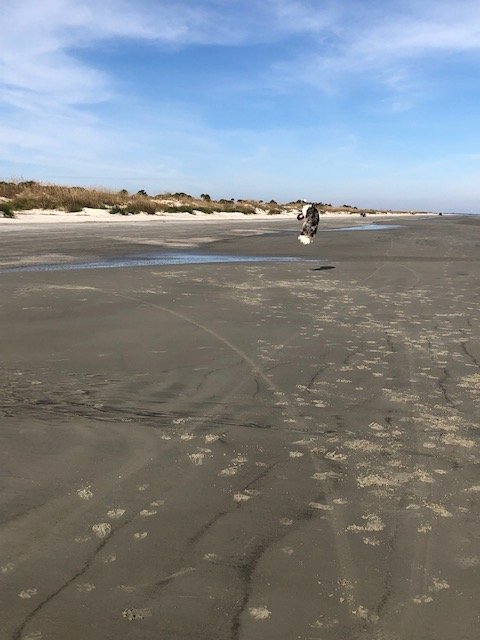
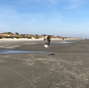
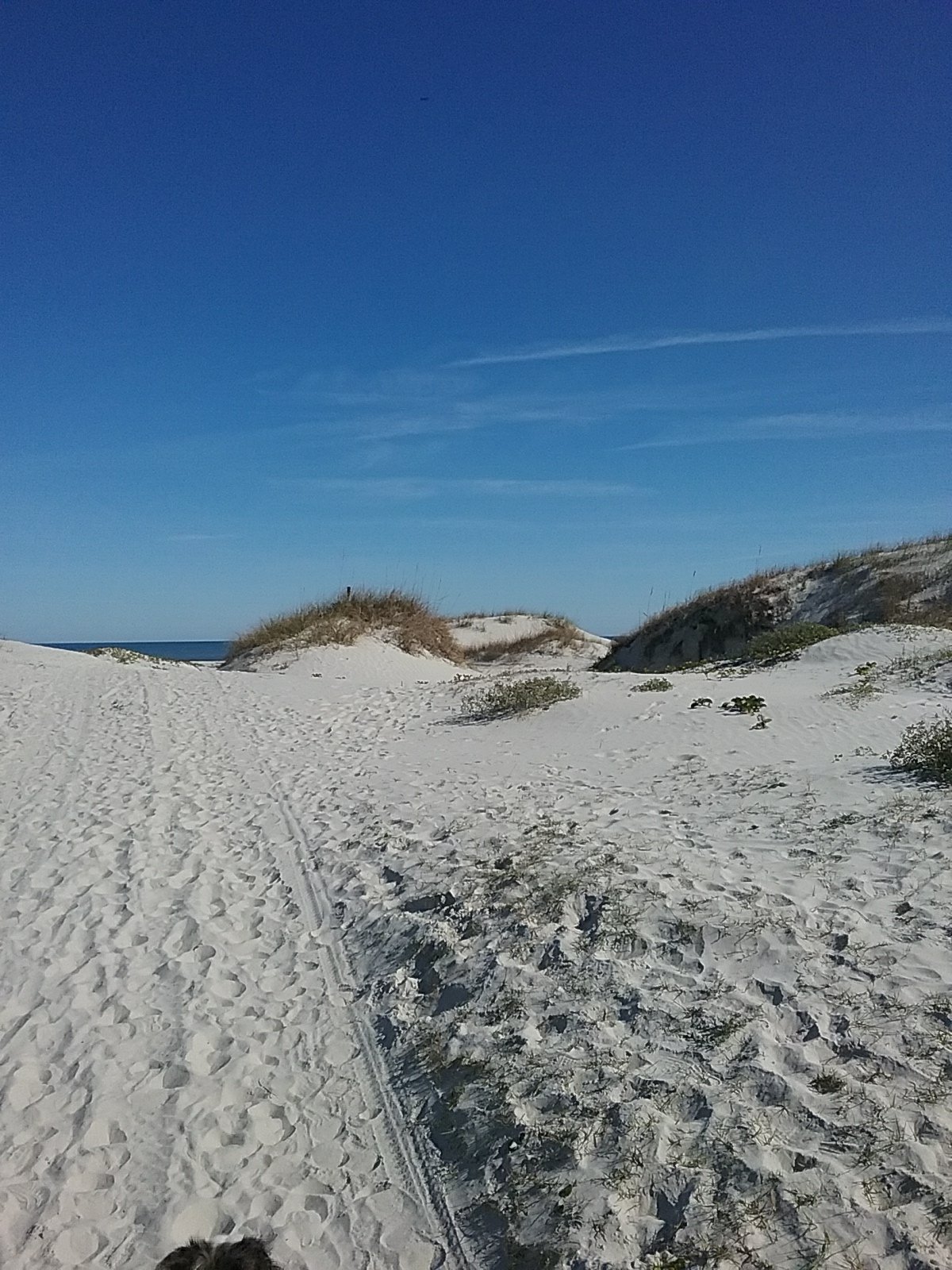
Onward! To the beach.
We had a good dinner. We have some canned turkey but decided to save it for another day (stranded at sea). Instead Lynne made stuffed chicken breast, carrots and mashed potatoes. The potatoes may have come from a box but after hiking for a few miles, they were devoured.
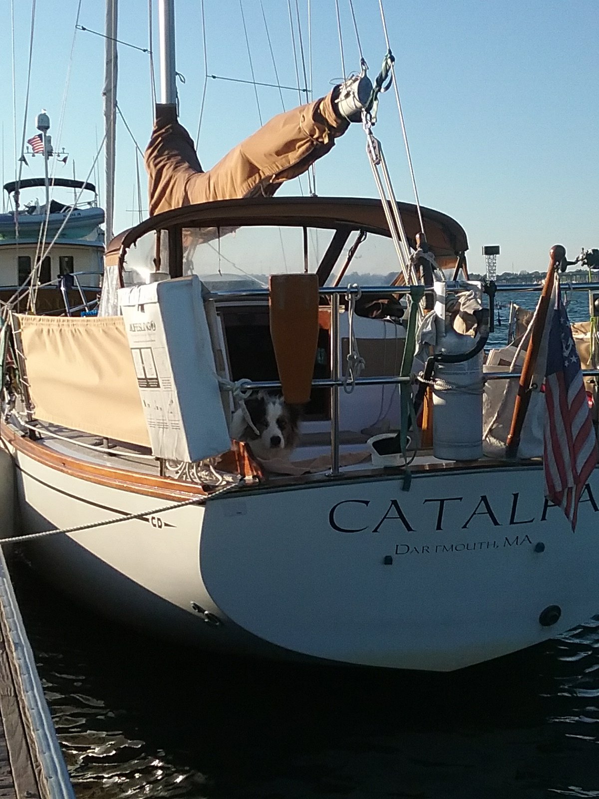
Happy Thanksgiving from the Captain and Crew of Catalpa.