February 4th- St Lucie River/ Stuart FL
Evergreen still lies at anchor in Pendarvis Cove. We’ve been in the Stuart area for over a month. Originally, we had planned on taking a mooring over at the Sunset Bay Marina but decided we like our spot near Pendarvis Park. The Admiral is on a first name basis with most of the residents of the anchorage. I’ve started to call her,”The Belle of Pendarvis Cove.”
We’ve had a few visits from family and have had some great meals together. The Admiral is also on a first name basis with Tucker, our waiter at the Osceola Street Cafe. Since we’re not spending cash on a dock or moorings, we’ve been renting cars to go for a ride or resupply. Stuart is a nice town and we’ve enjoyed our stay.
Sculpture garden at Memorial Park.
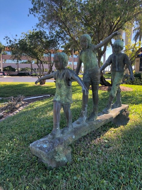
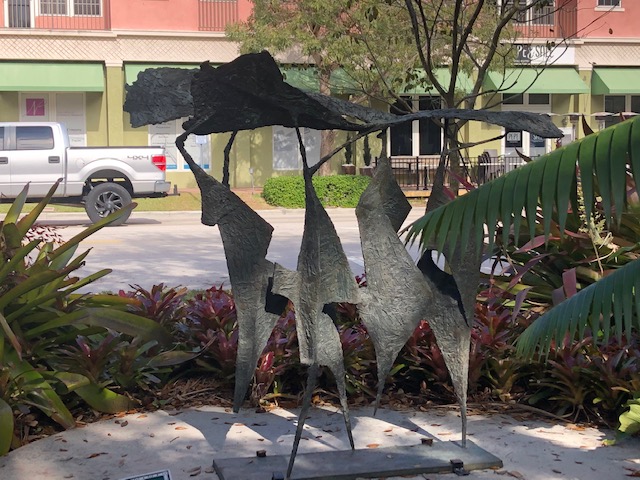
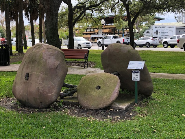
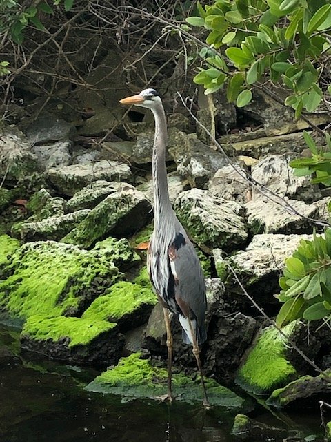
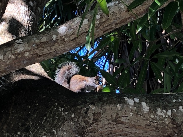
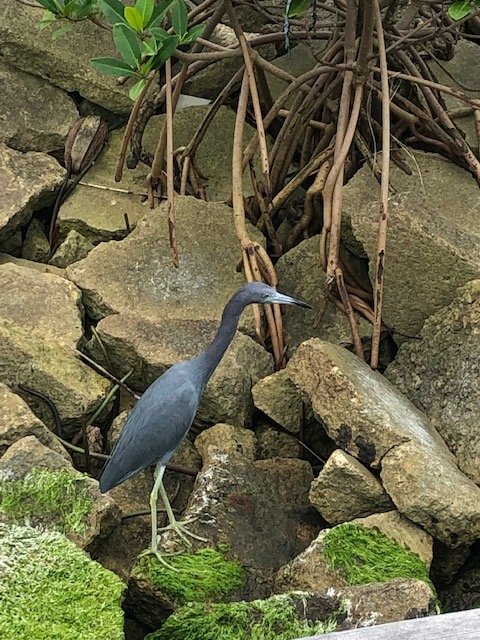
Some of the locals.
Over the past few weeks preparations for the Bahamas has continued. So far, the hardest part has been the paperwork. Since paperwork is not one of my strong points, Lynne took over the task. We obtained passports before leaving Dartmouth. Next was the Pet Import Permit. In order to expedite the process we had a guy (Wellington) take care of it in the Bahamas. He did an excellent job and we’d recommend him to anyone bringing a pet over there. — bahamaspetpermit.com — Ollie had to get a tracking chip before leaving home and proof of vaccinations. We still need to bring him to a veterinarian in Stuart for a health certificate. This has to be done shortly before crossing over. Lynne then conquered the required Cruising Permit from the Bahamas Customs Department. This was able to be done online using Click2Clear which is basically answering a ton of questions and paying the fee. Doing it this way avoids having to fill out the papers on the dock at the customs office when we check in. At this point I thought we were done but then found out we needed to inform the US Customs and Border patrol of our return. To do this we (actually Lynne) filled out more online paperwork and she familiarised herself with the CPB ROAM app. Done. Nope. In order to get back in (legally) we also need to pay a fee and get a DTOPS decal (Decal and Transponder Procurement System). This decal is issued to boats over 30′, planes, and commercial vehicles.
Happy to be done with customs paperwork.
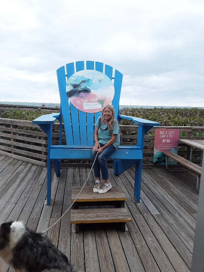
While she has been wading through the difficult process of crossing borders I’ve been soaking up the sunshine and drinking beer. Just kidding!
The Admiral wanted an increased measure of safety by having a reliable way of tracking us and communication. To that effect I purchased a Garmin Inreach Mini 2. This device transmits to the Iridium satellite network. We are able to text from anywhere in the world without needing to be in range of a cellphone tower. It also transmits our location to an online map located here: share.garmin.com/weirsailing (link also at side or bottom of blog page depending on screen size). This map can be zoomed in or out to see the details of the area we are in. There is also an SOS button to alert the cavalry should something cataclysmic happen.
I also bought a cheap Nokia phone. When we get over there we’ll be able to purchase a local BTC sim card, install that in the Nokia, and make calls. I’ve learned a lot about communication.
I then spent my time learning about weather windows. Florida’s winds are heavily influenced by the fronts that move through the area. Wind direction is very important to factor in for a Bahamas crossing. The Gulf Stream is essentially a river of warm water flowing northward. This “river” flows between Florida and the Bahamas. If the wind is out of the North large waves develope (bad). There are also the Easterly Trade winds (very common). This direction is also not great since that would put the wind on Evergreen’s bow as we are heading East. That leaves us with a South through West wind direction being favorable. Also common to Florida’s coast is -no wind- which would also work. The wind directions basically go clockwise as high and low pressure fronts move through the area. To predict the weather/ wind state I have been using an application called Windy . I also monitor the National Weather Service Marine Forecast. In addition to those tools I have recently subscribed to a weather routing service from the Marine Weather Center. They send me custom detailed forecasts daily. We had a few really good weather windows but were unable to leave before February 1st.
“A sailor with no schedule always has good weather.”
Right now the weather isn’t good to cross (gale warning). Next week isn’t looking good so far. So we wait. Patience. Stuart’s a nice place to wait. Grilled Tilapia and rice pilaf for dinner tonight!
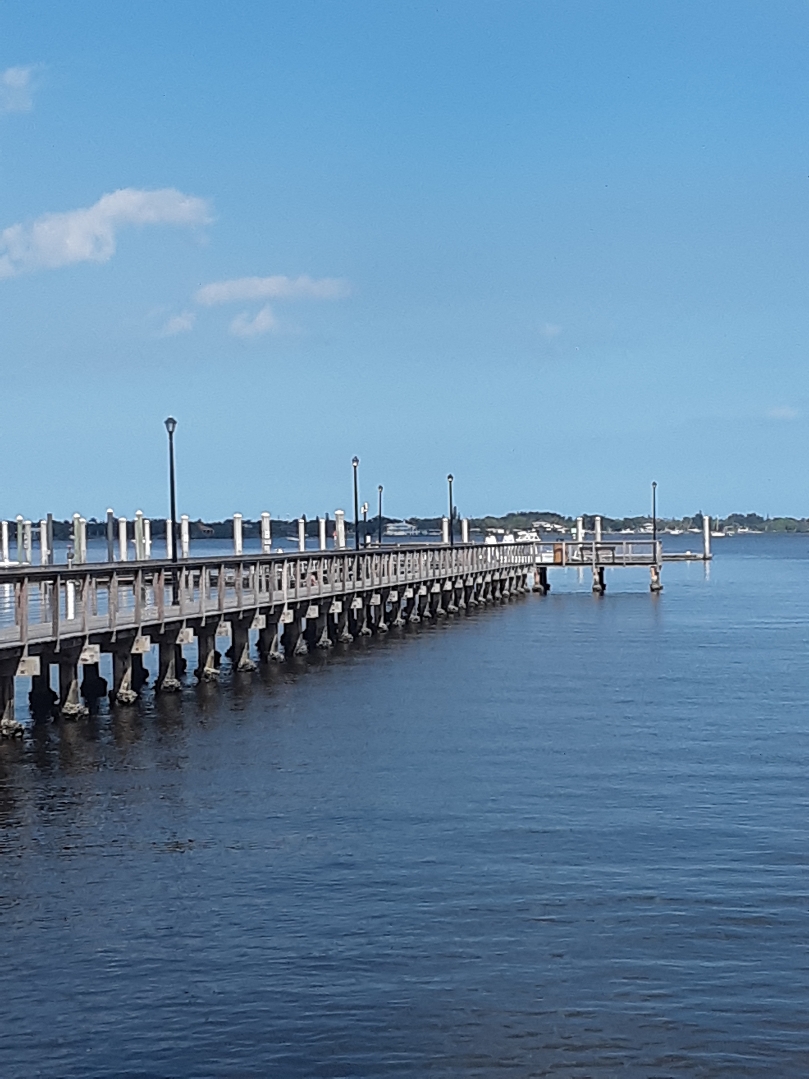
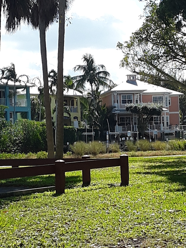
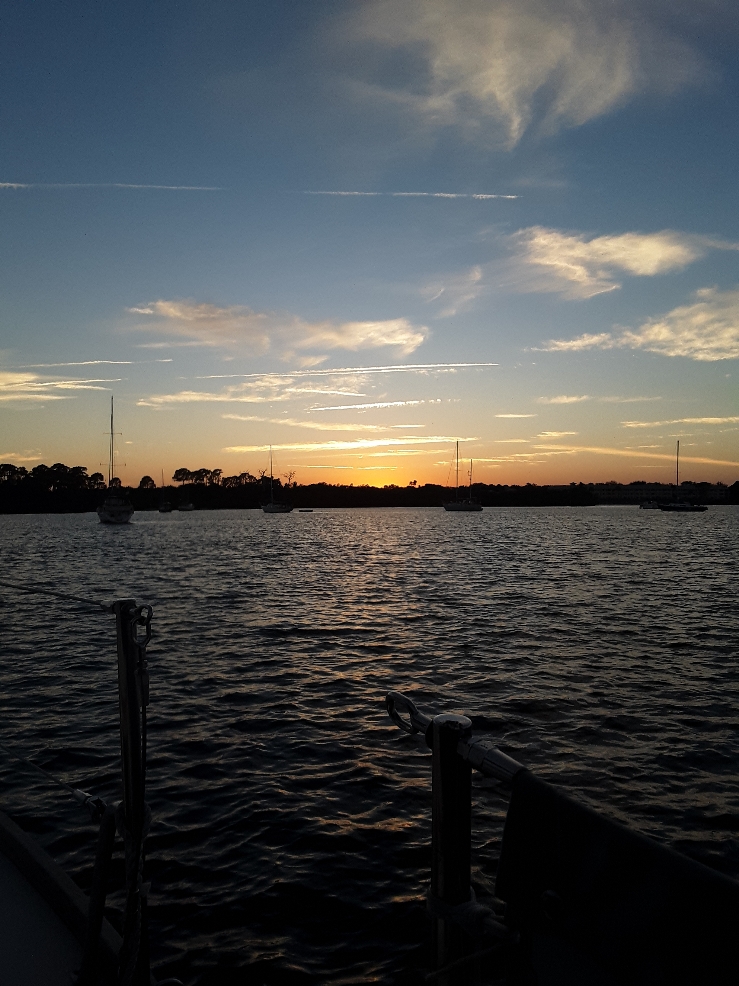
Some scenes from Stuart FL.

I’m glad we’ll be able to find you on the inReach. We’ll definitely share an anchorage! Did you have to let Customs know about your return because of Ollie? I haven’t heard of that. We just check back in via Roam when we get back to the U.S. Hope you get a window to cross soon! See you over here!
The InReach map is pretty cool. The other day we happened to look at the Pegu map and saw you were on the way to the Exumas.
The difference in the customs thing was because Evergreen is over 30 feet. Needed to have the DTOPS sticker # before using Roam or we’d have to go to an actual US customs office. Bahamas permit also double the cost due to boat size. Some advantages and disadvantages to upsizing.
Looking forward to seeing you both. Hope your having great weather.